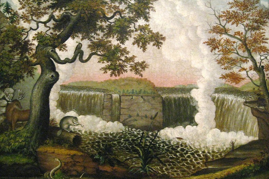
Photo Credits (2)
Difficulty
Moderate
Trail Length
2.4 miles
Trail Type
Out And Back
Elevation Gain
350 ft
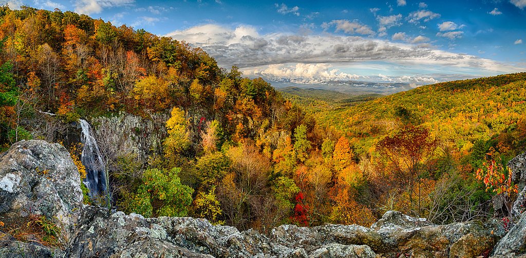
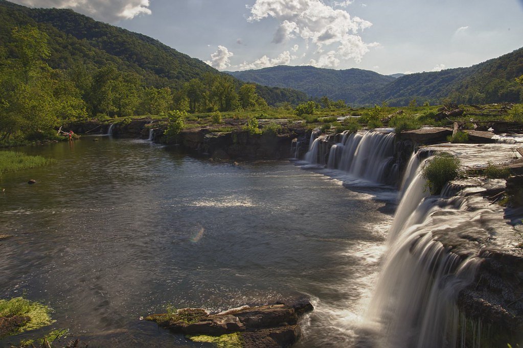
About Upper Falls
Upper Falls is a scenic waterfall located in West Virginia, known for its natural beauty and accessibility. It is part of the Kanawha River and offers picturesque views, especially during the spring and fall seasons when water flow and foliage are at their peak.
The Setting
Upper Falls sits at 577 feet along the Coal River, in the foothills of West Virginia.
Trail & Hike Details
The Approach
The moderate 2.4-mile out-and-back trail gains 350 feet of elevation on the way to the falls.
Trail Description
The trail to Upper Falls is short and easy, making it accessible for most visitors. It follows a gentle path along the river, offering scenic views and opportunities to enjoy the surrounding nature.
What to Expect
Dogs are welcome.
Accessibility
The trail is not wheelchair accessible. Uneven terrain and elevation changes require steady footing.
Frequently Asked Questions
🐶 Are Dogs Allowed at Upper Falls?
✅ Dogs are allowed
Are There Any Fees or Permits Required?
🆖 No fees required
🏊 Is There Swimming at Upper Falls?
❌ Swimming is not allowed
When to Visit
Spring and fall are the best times to visit due to higher water flow and vibrant foliage. Summer is also popular, but the area may be busier.
Seasonal Access
The best time to visit is Spring, Summer, and Fall. Winter access may be limited.
Safety Information
Exercise caution near the water as rocks can be slippery. Avoid visiting during heavy rain or flooding conditions.
Current Water Conditions
763 ft³/s
Current discharge — how much water is flowing
About average for this time of year
Based on 70 years of record
10.39 ft
Water depth at gauge
71°F
WarmVery comfortable
7-Day Discharge Trend
What does this mean for your visit?
Flow is about average for this time of year. The water is a comfortable 71 degrees F, pleasant for swimming. Mineral content is moderate.
Water Quality
Conductance
Dissolved minerals in the water
About This Gauge
7-Day Flow Outlook
Based on the USGS gauge COAL RIVER AT TORNADO, WV (0 km away).
Today
Strong
763 cfs
10/10Tomorrow
Strong
826 cfs
7/10Tue
Roaring
936 cfs
6/10Wed
Strong
770 cfs
10/10Thu
Strong
764 cfs
7/10Fri
Roaring
761 cfs
6/10Sat
Roaring
788 cfs
6/10Best window: Today — strong flow, mostly sunny (trip score 10/10).
Best time of year: this gauge typically runs highest from late January to mid April, peaking in March.
How we calculate this
This is a transparent outlook, not a precise forecast. We take the waterfall's current flow strength (how it ranks against its historical normal for today, from the nearest USGS stream gauge), carry that ranking forward along the gauge's seasonal curve, and nudge it for forecast rain. Confidence is highest for the next day or two and falls further out. Always check official conditions and your own judgment before visiting — high flows can be dangerous.
Know when to go.
Get a free email alert when waterfalls near Tornado hit peak flow. We only send when conditions are worth the trip — no weekly newsletters, no spam.
Weather Forecast
Location & Access
Getting There
Upper Falls is located near the town of Tornado, West Virginia, along the Kanawha River. It can be accessed via Upper Falls Road, with clear signage leading to the area.
Get Directions on Google MapsParking
There is a small parking area near the falls, which is free of charge. Availability may be limited during peak seasons.
Elevation
577 feet above sea level
Coordinates
38.342594° N, -81.841518° W
Visitor Tips & Gear
Visit early in the morning or on weekdays to avoid crowds. Wear sturdy shoes as the area near the falls may be slippery. Bring a camera to capture the scenic views.
As an Amazon Associate, we earn from qualifying purchases.
With 2.4 miles and 350 ft of elevation gain, sturdy boots and trekking poles will help on this moderate trail. Sun exposure on the trail makes good sun protection a must in summer.

Polarized Sunglasses (Knockaround)
Cuts glare off the water so you actually see the falls — and your photos turn out better too.

Columbia Watertight II Rain Jacket
Packs into its own pocket, seam-sealed, and keeps you dry from spray and surprise rain.

Earth Pak Waterproof Dry Bag
Keeps your phone and gear dry when waterfall mist soaks everything else.

Waterproof Phone Pouch (AiRunTech)
Cheap insurance — take photos right next to the falls without killing your phone.

Timberland Euro Sprint Mid Waterproof
Trusted waterproof boot with premium leather and grippy rubber sole — reliable on rocky, wet trails.

TrailBuddy Trekking Poles
Lightweight aluminum, cork grips, and flip-locks that actually hold — a best-seller for good reason.
Where to Stay

Hampton Inn Charleston-Southridge

Holiday Inn Express & Suites Cross Lanes by IHG

Holiday Inn Express Winfield - Teays Valley by IHG

Country Inn & Suites by Radisson, Dunbar - Charleston
Browse vacation cabins and private rentals nearby
Unique outdoor stays — tents, yurts, and treehouses
Rent a campervan or RV for your waterfall road trip
Some links are affiliate links. We may earn a commission at no extra cost to you.
Additional Information
Nearby Attractions
Kanawha State Forest, Charleston, and other small waterfalls and hiking trails in the area.
Wildlife
The area is home to various bird species, deer, and small mammals. Keep an eye out for wildlife along the trail.
Cities near Upper Falls
Nearby Waterfalls
Other waterfalls named Upper Falls
27 other waterfalls share this name across the U.S.
Writing about Upper Falls? Embed this waterfall on your site for free.