Upper Falls
Michigan • Isle Royale National Park • 50 ft
By Armen Suny · Last verified Sep 2026
LiDAR & 3D terrain
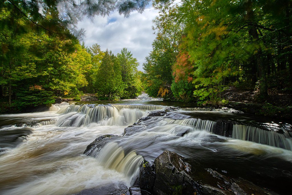
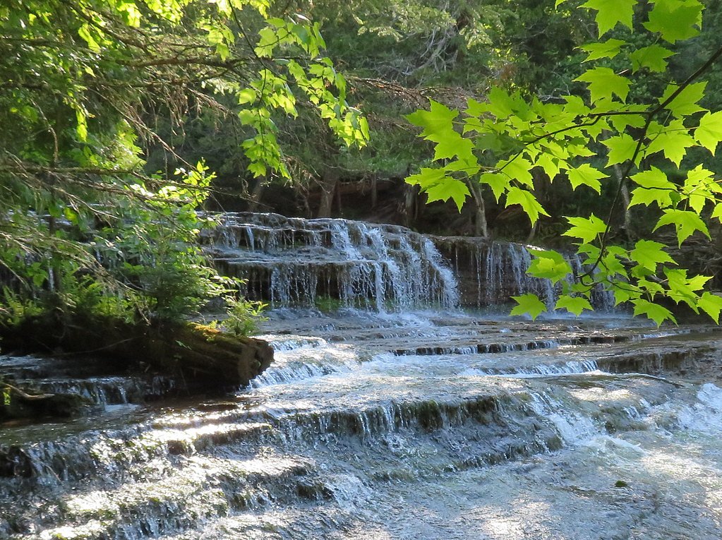
Photo Credits (5)
Difficulty
Easy
Trail Length
0.5 miles
Trail Type
Out And Back
About Upper Falls
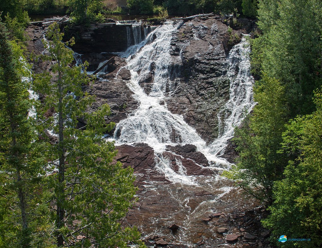
Upper Falls, located in Tahquamenon Falls State Park in Michigan, is one of the largest waterfalls east of the Mississippi River. Known for its striking amber-colored water caused by tannins from nearby cedar swamps, it is a popular destination for nature enthusiasts.
The Setting
Upper Falls sits at 679 feet within Isle Royale National Park, in the foothills of Michigan. The falls drop 50 feet.
Height: 50 feet
Nearby Falls Worth Visiting
Eagle River Falls (40 ft) lies 8.7 miles to the northeast. Also nearby: Jacobs Falls (20 ft, 11.5 mi).
Trail & Hike Details
Trail Description
The trail to Upper Falls is a short, well-maintained path that includes paved sections and stairs leading to various viewing platforms. The trail is suitable for most visitors, including families with children.
What to Expect
The falls drop 50 feet. Dogs are welcome.
Accessibility
The trail is short and relatively flat, but the surface may be uneven. Contact the managing agency for accessibility details.
Frequently Asked Questions
🐶 Are Dogs Allowed at Upper Falls?
✅ Dogs are allowed
Are There Any Fees or Permits Required?
🤑 Fee: $10.00
🏊 Is There Swimming at Upper Falls?
❌ Swimming is not allowed
When to Visit
The falls are beautiful year-round, but spring offers the most dramatic water flow due to snowmelt, while fall provides vibrant foliage. Winter visits offer a unique experience with frozen cascades.
Seasonal Access
The best time to visit is Spring, Summer, Fall, and Winter. Check with Isle Royale National Park for current conditions.
Safety Information
Stay on designated trails and viewing platforms. The rocks near the falls can be slippery, and the currents are extremely strong. Exercise caution, especially with children.
Know when to go.
Get a free email alert when waterfalls near Ahmeek hit peak flow. We only send when conditions are worth the trip — no weekly newsletters, no spam.
Weather Forecast
The Terrain, Seen by LiDAR
Aircraft-mounted lasers measured this ground to within inches. Trees and buildings are digitally stripped away, leaving the bare shape of the land the water has carved.
Here the descent is spread out: 1-meter lidar measures about 26 feet of drop through Upper Falls, stretched along the creek rather than stacked in one wall. The full 50 feet the falls are listed at is spread over a longer run than this window: along the whole mile-long profile the ground drops about 147 feet. The brink sits at about 695 feet above sea level.
The ground changes about 35 feet in the 500 feet above the falls and 12 feet in the 500 feet below. The falls face west and glow in afternoon and evening light.
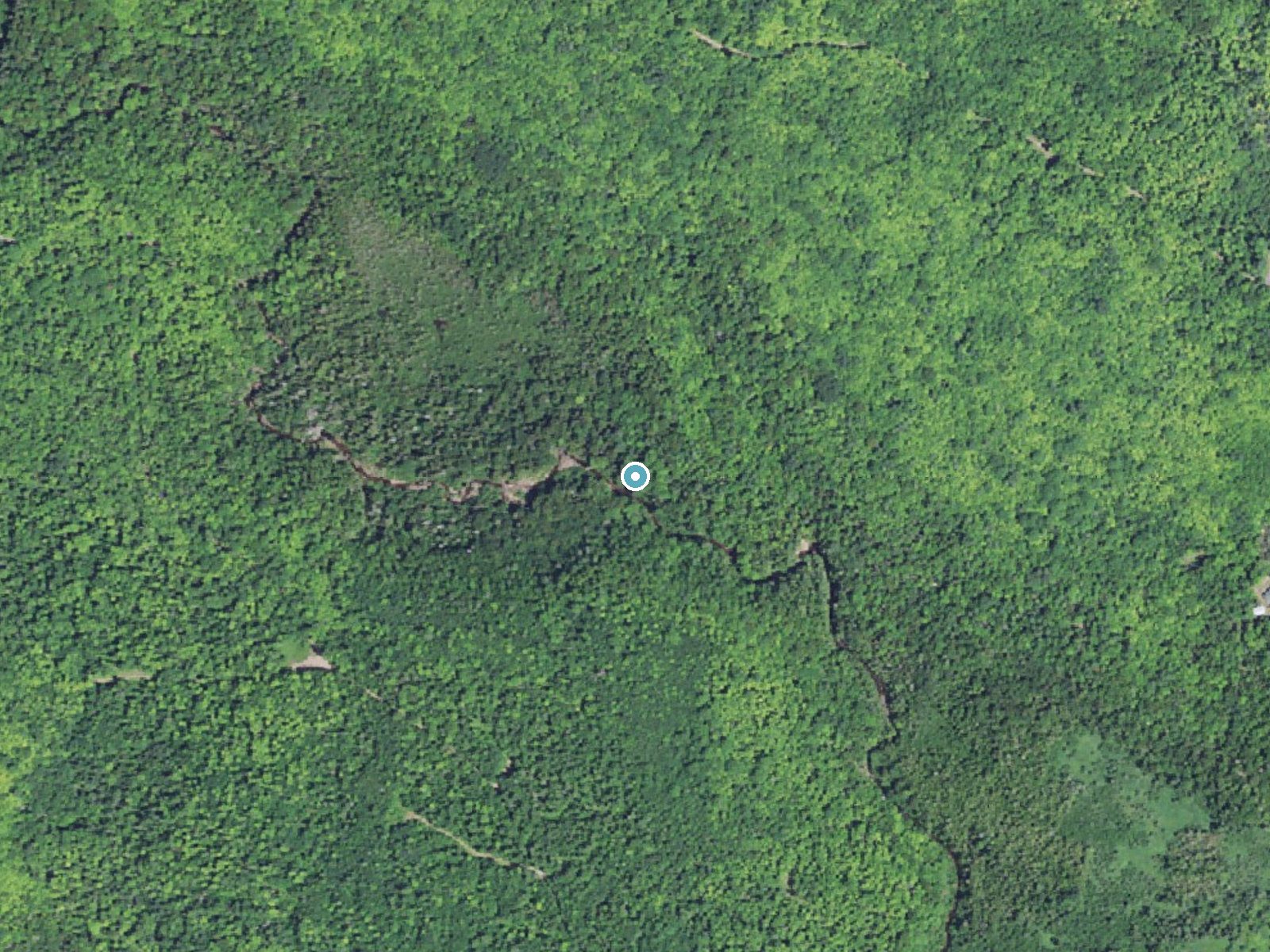
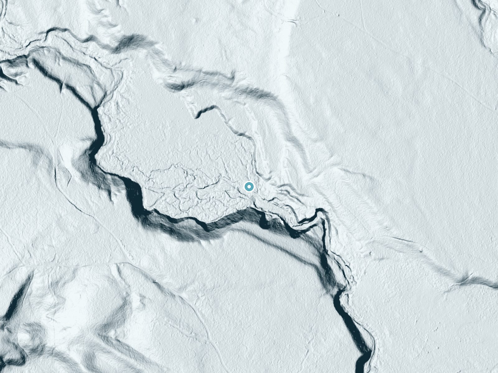
Drag to compare. The dot marks the waterfall. The frame is about a mile across.
- Ground elevation
- 695 feet
- Measured by 1-meter lidar
- Drop at the falls
- About 26 feet
- Change in ground height within ~250 feet of the falls
- Faces
- West
- Glows in afternoon and evening light.
A slice through the lidar ground surface, from above the falls to downstream (heading west).
Elevation data: USGS 3D Elevation Program. Aerial imagery: USGS The National Map. Public domain.
Location & Access
Getting There
Upper Falls is located within Tahquamenon Falls State Park, approximately 7 miles from the town of Paradise, Michigan. The falls are accessible via well-marked roads, and the park entrance is off M-123.
Get Directions on Google MapsParking
There is a large parking area near the Upper Falls trailhead, with spaces for cars, RVs, and buses.
Elevation
679 feet above sea level
Coordinates
47.331389° N, -88.437222° W
Visitor Tips & Gear
Arrive early during peak seasons to secure parking and avoid crowds. Wear sturdy shoes, especially if visiting in winter when the trail may be icy. Bring a camera to capture the stunning views.
Where to Stay

AmericInn by Wyndham Calumet

Magnuson Copper Crown

Daniell Manor

Quality Inn & Suites Houghton Downtown
Browse vacation cabins and private rentals nearby
Unique outdoor stays — tents, yurts, and treehouses
Rent a campervan or RV for your waterfall road trip
Some links are affiliate links. We may earn a commission at no extra cost to you.
Additional Information
Nearby Attractions
Lower Falls (located 4 miles downstream), Whitefish Point Lighthouse, Great Lakes Shipwreck Museum.
Wildlife
The park is home to a variety of wildlife, including deer, black bears, and numerous bird species.
Nearby Waterfalls
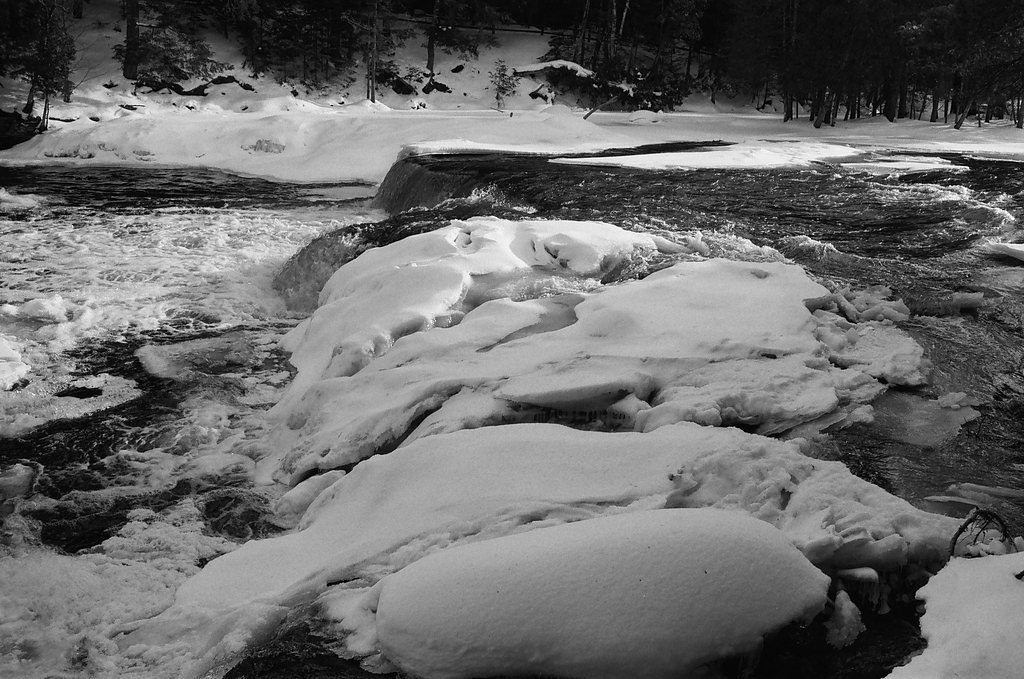

Other waterfalls named Upper Falls
27 other waterfalls share this name across the U.S.
Writing about Upper Falls? Embed this waterfall on your site for free.