Photo Credits (4)
Difficulty
Easy
Trail Length
1.5 miles
Trail Type
Out And Back
Elevation Gain
200 ft
About The Falls
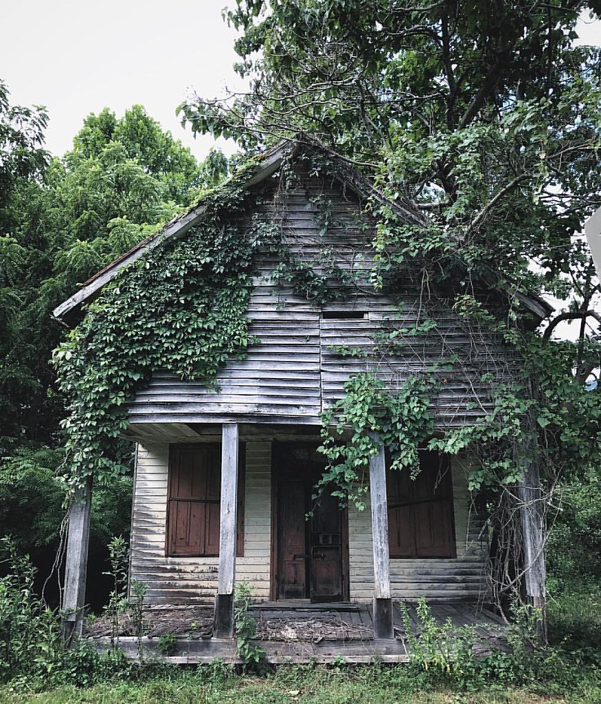
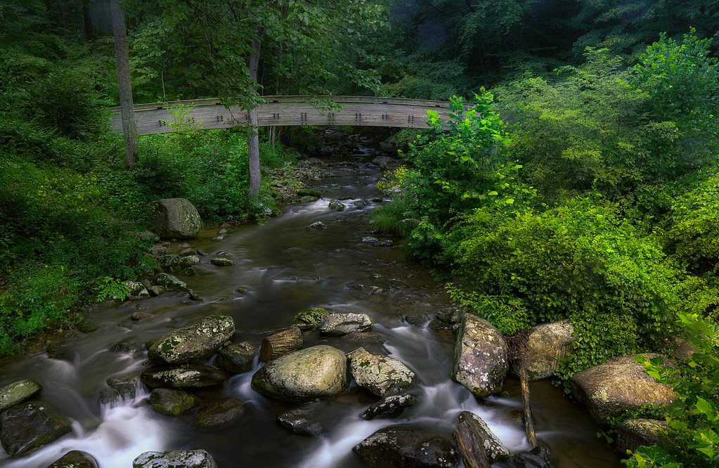
Tucked just outside Lovingston, Virginia, The Falls is a modest but scenic cascade set in a quiet, forested stretch of the Sugarloaf Mtn/Rockfish/Shields Gap land unit. The waterfall sits on private land (PVT) with a CONE designation and is overseen by a local NGO, giving it a tucked-away, low‑traffic feel compared with more developed sites. The creek winds through hardwoods and a series of small drops before arriving at the main plunge, making the spot a peaceful stop for photographers or anyone after a short nature break. Access is very approachable: the route to the falls is a short out-and-back that follows the creek and reveals several small cascades en route. The trail’s easy grade and wooded setting make it suitable for most hikers and families, but because the falls are on private property managed by an NGO, visitors should stay on the marked path and respect any posted access guidelines to preserve the site.
The Setting
The Falls sits at 1,257 feet within Sugarloaf Mtn/Rockfish/Shields Gap, fed by the Tye River, in the foothills of Virginia.
Nearby Falls Worth Visiting
Crabtree Falls, the tallest waterfall in Virginia at 1,200 feet, lies 9.9 miles to the west.
Trail & Hike Details
The Approach
The easy 1.5-mile out and back trail gains 200 feet of elevation on the way to the falls.
Trail Description
The trail to The Falls is a short, easy 1.5-mile out-and-back with about 200 feet of elevation gain. It follows a well-marked woodland footpath that maintains a gentle incline and runs alongside the creek, offering occasional views of small cascades before you reach the main waterfall. The route is natural tread through forest and is suitable for most abilities; note that the site lies on private land within the Sugarloaf Mtn/Rockfish/Shields Gap unit (designation CONE) managed by an NGO, so please obey posted signs and stay on the established trail.
What to Expect
Dogs are welcome.
Accessibility
The trail is not wheelchair accessible. Uneven terrain and elevation changes require steady footing.
Frequently Asked Questions
🐶 Are Dogs Allowed at The Falls?
✅ Dogs are allowed
Are There Any Fees or Permits Required?
🆖 No fees required
🏊 Is There Swimming at The Falls?
❌ Swimming is not allowed
When to Visit
Spring and early summer are the best times to visit, as the waterfall flow is typically stronger due to seasonal rainfall. Fall offers beautiful foliage, while winter may provide a unique view if the waterfall partially freezes.
Seasonal Access
The best time to visit is Spring, Summer, and Fall. Winter access may be limited.
Safety Information
Be cautious of slippery rocks near the waterfall. Avoid visiting during heavy rain or immediately after storms, as the trail may become muddy and the creek may swell. Always stay on marked trails to avoid getting lost.
Current Water Conditions
21 ft³/s
Current discharge — how much water is flowing
Much lower than usual for this time of year
Based on 87 years of record
2.59 ft
Water depth at gauge
7-Day Discharge Trend
What does this mean for your visit?
Flow is well below normal for this time of year, so the waterfall may be a trickle.
About This Gauge
This gauge is on a nearby waterway and may not reflect exact conditions at the falls.
7-Day Flow Outlook
Based on the USGS gauge TYE RIVER NEAR LOVINGSTON, VA (10 km away).
Today
Strong
22 cfs
10/10Tomorrow
Strong
20 cfs
10/10Thu
Strong
21 cfs
10/10Fri
Roaring
24 cfs
6/10Sat
Roaring
24 cfs
6/10Sun
Roaring
25 cfs
6/10Mon
Roaring
25 cfs
6/10Best window: Today — strong flow, sunny (trip score 10/10).
Best time of year: this gauge typically runs highest from mid February to late April, peaking in March.
How we calculate this
This is a transparent outlook, not a precise forecast. We take the waterfall's current flow strength (how it ranks against its historical normal for today, from the nearest USGS stream gauge), carry that ranking forward along the gauge's seasonal curve, and nudge it for forecast rain. Confidence is highest for the next day or two and falls further out. Always check official conditions and your own judgment before visiting — high flows can be dangerous.
Know when to go.
Get a free email alert when waterfalls near Lovingston hit peak flow. We only send when conditions are worth the trip — no weekly newsletters, no spam.
Weather Forecast
Location & Access
Getting There
The Falls is located approximately 3 miles from Lovingston, Virginia. Visitors can use GPS coordinates 37.7888, -78.9075 to navigate to the area. The waterfall is accessible via a short trail from a nearby parking area.
Get Directions on Google MapsParking
There is limited parking available near the trailhead. Visitors should plan to arrive early, especially during weekends or peak seasons.
Hours
Elevation
1,257 feet above sea level
Coordinates
37.788752° N, -78.907523° W
Land Management
Managed by NGO
Visitor Tips & Gear
Arrive early to secure parking and enjoy the trail without crowds. Bring water and wear sturdy shoes, especially if visiting after rain. Be cautious of slippery rocks near the waterfall.
As an Amazon Associate, we earn from qualifying purchases.
This easy 1.5 miles hike is straightforward — comfortable trail shoes and plenty of water should do. Sun exposure on the trail makes good sun protection a must in summer.

Polarized Sunglasses (Knockaround)
Cuts glare off the water so you actually see the falls — and your photos turn out better too.

Columbia Watertight II Rain Jacket
Packs into its own pocket, seam-sealed, and keeps you dry from spray and surprise rain.

Earth Pak Waterproof Dry Bag
Keeps your phone and gear dry when waterfall mist soaks everything else.

Waterproof Phone Pouch (AiRunTech)
Cheap insurance — take photos right next to the falls without killing your phone.

JOBY GorillaPod Starter Kit
Wraps around railings and rocks for long-exposure waterfall shots — no flat surface needed.

Osprey Daylite Daypack
Light, organized, and just the right size for a day hike — fits water, snacks, and layers.
Where to Stay

Basecamp151

Wingate by Wyndham Waynesboro

Holiday Inn Express & Suites Waynesboro East

Village Inn
Browse vacation cabins and private rentals nearby
Unique outdoor stays — tents, yurts, and treehouses
Rent a campervan or RV for your waterfall road trip
Some links are affiliate links. We may earn a commission at no extra cost to you.
Nearby Campground
SHERANDO LAKE GROUP PICNIC SHELTER
10.5 miles away · 1 sites
Overview Sherando Lake Group Picnic Shelter, also known as the Williams Branch Group Picnic Shelter is a part of the Sherando Lake Recreation Area. The recreation area is often referred to as the jewel of the Blue Ridge Mountains and is a very popular destination where families enjoy picnicking in the shade and relaxing on the sandy beach.Recreation The 25 acre Lower Lake offers opportunities for swimming in a designated areas with a sand beach, accessible ramp to the water's edge and a beach bat
Book on Recreation.govNearby Hot Springs
Hot springs near Lovingston, Virginia
Rockbridge Baths
Rockbridge Baths emerges at 72 degrees Fahrenheit, flowing 18.9 degrees above ambient temperature at 1,807 feet elevation in Ro...

Warm Springs
Warm Springs flows at 95 degrees Fahrenheit, producing water 43.7 degrees above ambient temperature at 2,335 feet elevation in ...
Bolar Spring
Bolar Spring flows at 73°F near Warm Springs in Bath County, Virginia, emerging 22 degrees above the 51°F ambient temperature a...
Bragg Spring
Bragg Spring produces 75-degree water that flows 24.4 degrees above ambient temperature at 2,508 feet elevation in Highland Cou...
Looking for a soak after your hike? Explore more hot springs near Lovingston, Virginia on SoakingSprings.
Explore Virginia springsAdditional Information
Nearby Attractions
Nearby attractions include the town of Lovingston, local wineries, and hiking trails in the Blue Ridge Mountains.
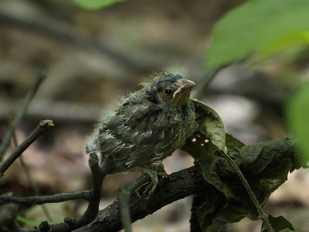
Wildlife
The area is home to various bird species, deer, and small mammals. Visitors may also encounter insects such as mosquitoes, especially in warmer months.
Cities near The Falls
Nearby Waterfalls
Other waterfalls named The Falls
20 other waterfalls share this name across the U.S.
Writing about The Falls? Embed this waterfall on your site for free.