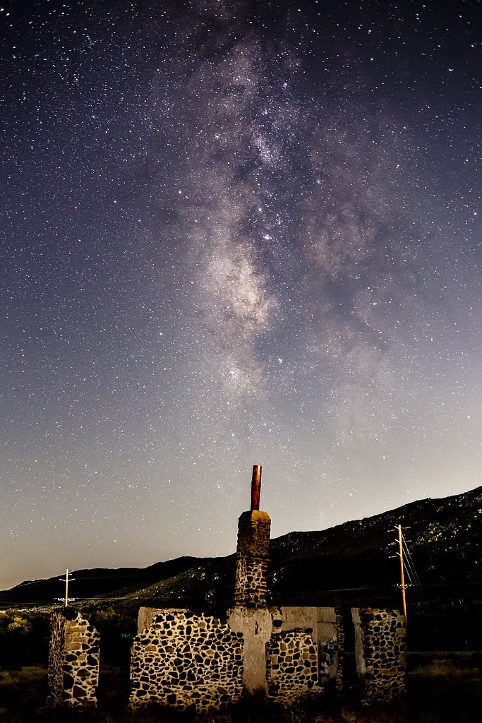
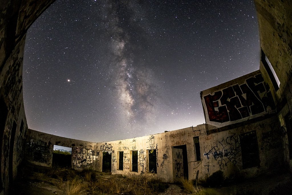
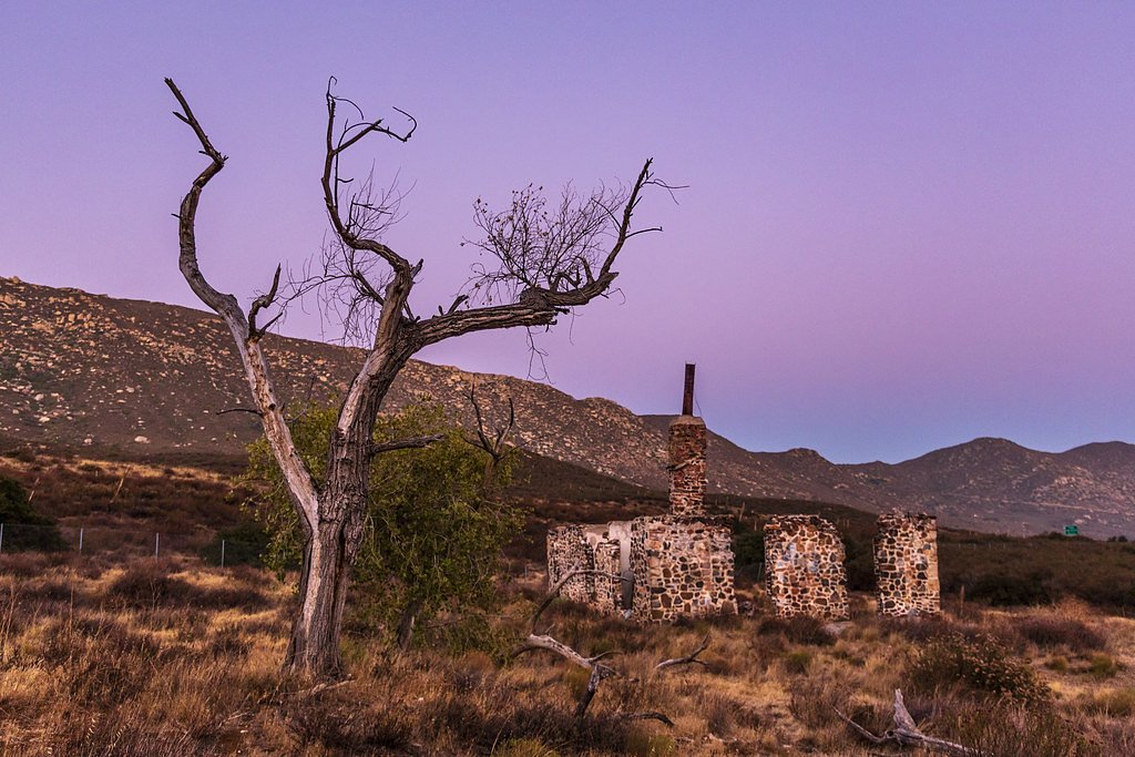
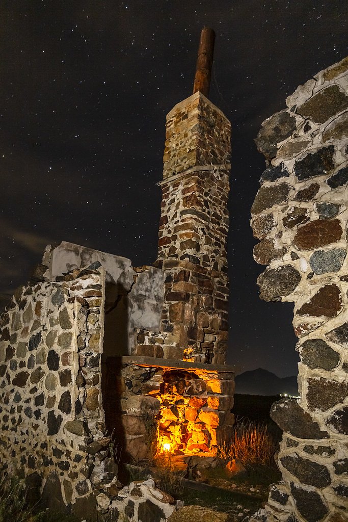
Photo Credits (5)
Difficulty
Moderate
Trail Length
2.4 miles
Trail Type
Out And Back
Elevation Gain
350 ft
About The Falls
Tucked into a scenic pocket of California, The Falls is an accessible waterfall that makes for a rewarding half-day outing. The hike to the viewing area is a 2.4-mile out-and-back that climbs about 350 feet, presenting a steady but pleasant ascent that most moderately fit hikers can manage. Because the approach is relatively short, The Falls is a popular choice year-round for photographers and day hikers looking for a quick nature escape. If you want to extend your visit, the Corral Canyon Area campground lies just 2.47 km (about 1.5 miles) from the trailhead, making overnight stays convenient for early-morning or golden-hour waterfall views. Expect a moderate effort on the way in and out—pack water, layered clothing, and sturdy footwear—and check local trail reports before you go for the latest conditions.
Trail & Hike Details
The Approach
The moderate 2.4-mile out-and-back trail gains 350 feet of elevation on the way to the falls.
Trail Description
Trail stats: 2.4 miles round-trip (out-and-back) with roughly 350 feet of elevation gain; rated moderate. The route is a short, straightforward out-and-back that gains elevation steadily but does not require technical scrambling. Note: specific USFS trail identifiers, surface type, grade, and trail class were not provided in the available data. Trail conditions can vary with weather and season, so consult local resources or park contacts for up-to-date information and wear supportive footwear and traction as needed.
What to Expect
Visitors can expect a scenic waterfall surrounded by natural beauty. However, specific features such as flow intensity or surrounding terrain are not well-documented.
Accessibility
The trail is not wheelchair accessible. Uneven terrain and elevation changes require steady footing.
Frequently Asked Questions
🐶 Are Dogs Allowed at The Falls?
❌ Dogs are not allowed
Are There Any Fees or Permits Required?
🆖 No fees required
🏊 Is There Swimming at The Falls?
❌ Swimming is not allowed
When to Visit
Spring is typically the best time to visit waterfalls in California due to snowmelt, but The Falls may also be enjoyable in other seasons depending on rainfall.
Seasonal Access
The best time to visit is Spring, Summer, Fall, and Winter.
Safety Information
Trail conditions and hazards are not well-documented. Visitors should exercise caution, wear appropriate footwear, and be prepared for uneven terrain or slippery surfaces near the waterfall.
Current Water Conditions
0 ft³/s
Current discharge — how much water is flowing
About average for this time of year
Based on 69 years of record
3.42 ft
Water depth at gauge
What does this mean for your visit?
Flow is about average for this time of year.
About This Gauge
This gauge is on a nearby waterway and may not reflect exact conditions at the falls.
7-Day Flow Outlook
Based on the USGS gauge SWEETWATER R NR DESCANSO CA (13 km away).
Best time of year: this gauge typically runs highest from late February to late April, peaking in April.
How we calculate this
This is a transparent outlook, not a precise forecast. We take the waterfall's current flow strength (how it ranks against its historical normal for today, from the nearest USGS stream gauge), carry that ranking forward along the gauge's seasonal curve, and nudge it for forecast rain. Confidence is highest for the next day or two and falls further out. Always check official conditions and your own judgment before visiting — high flows can be dangerous.
Know when to go.
Get a free email alert when waterfalls near Pine Valley hit peak flow. We only send when conditions are worth the trip — no weekly newsletters, no spam.
Weather Forecast
Location & Access
Getting There
The exact location and directions to The Falls are not clearly documented. Visitors are advised to consult local maps or guides for accurate directions.
Get Directions on Google MapsParking
Parking availability is unclear. Visitors should prepare for limited parking options and check local resources for updates.
Elevation
3,169 feet above sea level
Coordinates
32.736721° N, -116.542240° W
Visitor Tips & Gear
Bring appropriate footwear and check local conditions before visiting. Be prepared for potential limited amenities in the area.
As an Amazon Associate, we earn from qualifying purchases.
With 2.4 miles and 350 ft of elevation gain, sturdy boots and trekking poles will help on this moderate trail. Icy conditions are common in winter — traction cleats are a smart addition.

Columbia Watertight II Rain Jacket
Packs into its own pocket, seam-sealed, and keeps you dry from spray and surprise rain.

Polarized Sunglasses (Knockaround)
Cuts glare off the water so you actually see the falls — and your photos turn out better too.

Earth Pak Waterproof Dry Bag
Keeps your phone and gear dry when waterfall mist soaks everything else.

Waterproof Phone Pouch (AiRunTech)
Cheap insurance — take photos right next to the falls without killing your phone.

Timberland Euro Sprint Mid Waterproof
Trusted waterproof boot with premium leather and grippy rubber sole — reliable on rocky, wet trails.

TrailBuddy Trekking Poles
Lightweight aluminum, cork grips, and flip-locks that actually hold — a best-seller for good reason.
Where to Stay

Quiet Mind Mountain Lodge, Retreat & Spa

QUARTZ HOTEL & SPA

Comfort Suites Tijuana

La Quinta Inn by Wyndham San Diego Chula Vista
Browse vacation cabins and private rentals nearby
Unique outdoor stays — tents, yurts, and treehouses
Rent a campervan or RV for your waterfall road trip
Some links are affiliate links. We may earn a commission at no extra cost to you.
Nearby Campground
Corral Canyon Area
1.5 miles away · 0 sites
Nearby Hot Springs
Hot springs near Pine Valley, California

Vallecitos Spring
Vallecitos Spring flows at 79 degrees in San Diego County's Laguna Mountains, producing water only 10.8 degrees above ambient t...

Agua Caliente Springs
Agua Caliente Springs flows at 101°F (38°C) in Anza-Borrego Desert State Park, a geothermal oasis that rises just 30 degrees ab...

Jacumba Hot Springs
Jacumba Hot Springs emerges at 101 degrees Fahrenheit from the Mountain Empire region of southeastern San Diego County near the...
Warner Hot Spring
Warner Hot Springs reaches 138°F in the mountains northeast of San Diego, among California's hottest documented springs. Sittin...
Agua Tibia Spring
Agua Tibia Spring emerges at 92°F (33°C) near Rainbow in San Diego's foothills, where the name aptly means warm water in Spanis...
Fish Springs
Fish Springs emerges at 90°F at the remarkable elevation of minus 224 feet in Imperial County, making it one of North America's...
Looking for a soak after your hike? Explore more hot springs near Pine Valley, California on SoakingSprings.
Explore California springsAdditional Information
Nearby Attractions
Nearby attractions are not well-documented. Visitors may explore other natural areas in the region.
Wildlife
Wildlife in the area is not specifically documented, but typical California fauna may be present.
Cities near The Falls
Other waterfalls named The Falls
20 other waterfalls share this name across the U.S.
Writing about The Falls? Embed this waterfall on your site for free.