
Photo Credits (5)
Difficulty
Moderate
Trail Length
2.4 miles
Trail Type
Out And Back
Elevation Gain
350 ft
About The Falls
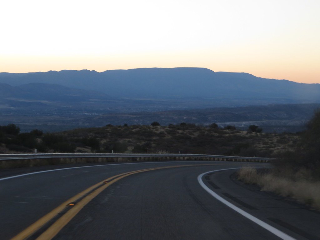
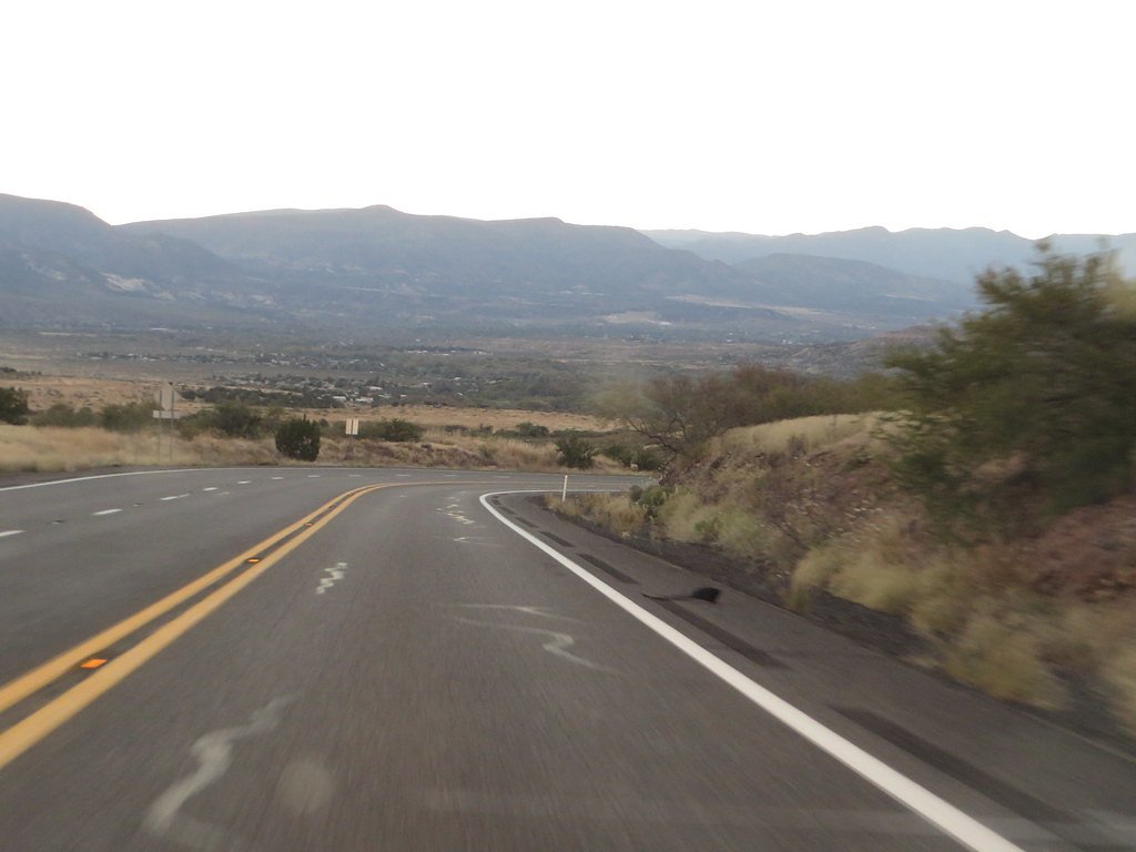
Tucked into the pinyon and juniper of Prescott National Forest, The Falls is a welcome reward on a moderate Arizona hike managed by the U.S. Forest Service. The route to the cascade follows the USFS LADDERS Trail (Trail #0016) and offers a compact, scenic experience: expect a short, well-defined approach that finishes at a pleasant waterfall set among native rock and trees. The trail’s manageable length and gentle elevation change make it a popular choice for day hikers and photographers seeking a relatively quick nature escape. If you’re planning to extend your trip, Clear Creek Campground is about 6.64 km away and provides a convenient nearby option for overnight stays. With 2.4 miles of trail and roughly 350 feet of elevation gain on an out-and-back route, The Falls is best visited in sturdy footwear and during daylight when the trail’s native tread is easy to follow and the waterfall is most photogenic.
The Setting
The Falls sits at 2,900 feet within Prescott National Forest, fed by the Verde River, in the hills of Arizona.
Trail & Hike Details
The Approach
The moderate hike follows Ladders (#0016), a 2.4-mile out-and-back trail over natural surface. Expect 350 feet of elevation gain with grades of 12-20%. The trail is moderately developed (Class 2).
USFS Trail
LADDERS #0016
Trail Class
Moderately Developed
Surface
Avg Grade
USFS Segment
0.10 miTrail Description
The approach to The Falls is an out-and-back route totaling about 2.4 miles with approximately 350 feet of elevation gain and a moderate difficulty rating. The USFS records the access as LADDERS, Trail #0016: a Class 2 route with a natural (NAT) native-material surface. Typical grades along the trail fall in the 12–20% range, so you’ll encounter some sustained inclines; the Forest Service GIS listing shows a mapped segment of 0.1 miles for the LADDERS Trail feature itself. Expect a narrow dirt-and-rock tread—uneven in places but generally straightforward—so bring supportive shoes and be prepared for brief steeper pitches on the way to the falls.
What to Expect
Visitors can expect a natural setting with scenic views and the sound of cascading water. The area may include rugged terrain and varying trail conditions.
Accessibility
The trail is not wheelchair accessible. Uneven terrain and elevation changes require steady footing.
Frequently Asked Questions
🐶 Are Dogs Allowed at The Falls?
❌ Dogs are not allowed
Are There Any Fees or Permits Required?
🆖 No fees required
🏊 Is There Swimming at The Falls?
❌ Swimming is not allowed
When to Visit
Spring and fall are typically the best times to visit due to milder weather conditions. Summer visits may be possible but can be hot, while winter conditions may vary.
Seasonal Access
The best time to visit is Spring, Summer, and Fall. Winter access may be limited. Watch for flash flood warnings during monsoon season (July through September). Check with Prescott National Forest for seasonal road closures.
Safety Information
Visitors should be aware of potential hazards such as uneven terrain, slippery rocks, and changing weather conditions. Always stay on marked trails and carry sufficient supplies.
Current Water Conditions
39 ft³/s
Current discharge — how much water is flowing
Lower than usual for this time of year
Based on 48 years of record
3.21 ft
Water depth at gauge
7-Day Discharge Trend
What does this mean for your visit?
Flow is lower than usual for this time of year.
About This Gauge
7-Day Flow Outlook
Based on the USGS gauge VERDE RIVER NEAR CAMP VERDE, AZ (1 km away).
Today
Barely Flowing
39 cfs
5/10Tomorrow
Barely Flowing
39 cfs
5/10Sun
Barely Flowing
39 cfs
5/10Mon
Barely Flowing
38 cfs
5/10Tue
Barely Flowing
35 cfs
5/10Wed
Barely Flowing
37 cfs
5/10Thu
Barely Flowing
37 cfs
5/10Best window: Today — barely flowing flow, mostly sunny (trip score 5/10).
Best time of year: this gauge typically runs highest from early January to early April, peaking in March.
How we calculate this
This is a transparent outlook, not a precise forecast. We take the waterfall's current flow strength (how it ranks against its historical normal for today, from the nearest USGS stream gauge), carry that ranking forward along the gauge's seasonal curve, and nudge it for forecast rain. Confidence is highest for the next day or two and falls further out. Always check official conditions and your own judgment before visiting — high flows can be dangerous.
Know when to go.
Get a free email alert when waterfalls near Camp Verde hit peak flow. We only send when conditions are worth the trip — no weekly newsletters, no spam.
Weather Forecast
Location & Access
Getting There
The exact location and directions to The Falls in Arizona may vary depending on the specific waterfall referred to. Visitors are advised to consult local maps or trail guides for accurate directions.
Get Directions on Google MapsParking
Parking availability is not confirmed. Visitors should check local resources or visitor centers for parking options near the trailhead.
Elevation
2,900 feet above sea level
Coordinates
34.458638° N, -111.786537° W
Land Management
Managed by USFS
Visitor Tips & Gear
Bring plenty of water, wear sturdy hiking shoes, and check weather conditions before visiting. Cell service may be limited in the area.
As an Amazon Associate, we earn from qualifying purchases.
With 2.4 miles and 350 ft of elevation gain, sturdy boots and trekking poles will help on this moderate trail. Sun exposure on the trail makes good sun protection a must in summer.

Polarized Sunglasses (Knockaround)
Cuts glare off the water so you actually see the falls — and your photos turn out better too.

Columbia Watertight II Rain Jacket
Packs into its own pocket, seam-sealed, and keeps you dry from spray and surprise rain.

Earth Pak Waterproof Dry Bag
Keeps your phone and gear dry when waterfall mist soaks everything else.

Waterproof Phone Pouch (AiRunTech)
Cheap insurance — take photos right next to the falls without killing your phone.

Timberland Euro Sprint Mid Waterproof
Trusted waterproof boot with premium leather and grippy rubber sole — reliable on rocky, wet trails.

TrailBuddy Trekking Poles
Lightweight aluminum, cork grips, and flip-locks that actually hold — a best-seller for good reason.
Where to Stay

Days Inn by Wyndham Camp Verde Arizona

Cliff Castle Casino Hotel

SureStay by Best Western Camp Verde

Red Agave Resort
Browse vacation cabins and private rentals nearby
Unique outdoor stays — tents, yurts, and treehouses
Rent a campervan or RV for your waterfall road trip
Some links are affiliate links. We may earn a commission at no extra cost to you.
Nearby Campground
Clear Creek Campground (AZ)
4.1 miles away · 19 sites
Overview This cozy group campground is tucked in the Lower Sonoran Desert along the banks of the fresh, chilly Clear Creek. Campers can wade in the creek, fish, or curl up with a book under the umbrella of cottonwood trees. Another popular pastime here is birdwatching, where you might just spot a hawk or bald eagle in flight. Clear Creek Campground is seven miles southeast of the small ranching town of Camp Verde. It's part of the Coconino National Forest, one of the most diverse forests in the c
Book on Recreation.govNearby Hot Springs
Hot springs near Camp Verde, Arizona

Verde Hot Springs
Verde Hot Springs emerges at 104°F along the Verde River near Camp Verde, one of Arizona's hottest thermal features and 37 degr...

Spring
Spring emerges at 72°F in the spectacular Fossil Creek drainage within Tonto National Forest near Pine, flowing 10 degrees abov...

Soda Spring
Soda Spring flows at 75°F in the scenic Verde Valley near Lake Montezuma in Yavapai County, emerging 11 degrees above the 64°F ...

Tonto Natural Bridge Spring
Tonto Natural Bridge Spring emerges at 72°F near Pine at 4,600 feet elevation, running 13 degrees above ambient in Arizona's Mo...

Spring (Hot)
At 99°F, this spring ranks among Arizona's warmest thermal waters, emerging 29 degrees above ambient in Tonto National Forest n...
Castle Hot Springs
Castle Hot Springs emerges at a remarkable 115 degrees Fahrenheit in Yavapai County, flowing 46 degrees warmer than ambient air...
Looking for a soak after your hike? Explore more hot springs near Camp Verde, Arizona on SoakingSprings.
Explore Arizona springsAdditional Information
Nearby Attractions
Nearby attractions may include other hiking trails, scenic viewpoints, or natural landmarks in the area.
Wildlife
The area may be home to local wildlife such as birds, small mammals, and reptiles. Visitors should respect wildlife and maintain a safe distance.
Cities near The Falls
Other waterfalls named The Falls
20 other waterfalls share this name across the U.S.
Writing about The Falls? Embed this waterfall on your site for free.