The Falls
By Armen Suny · Last verified Mar 2026
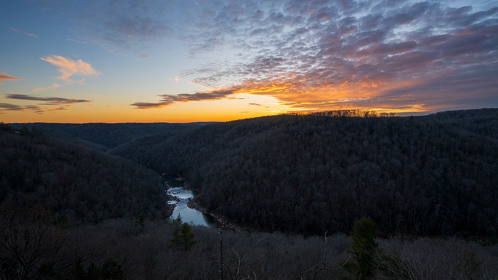
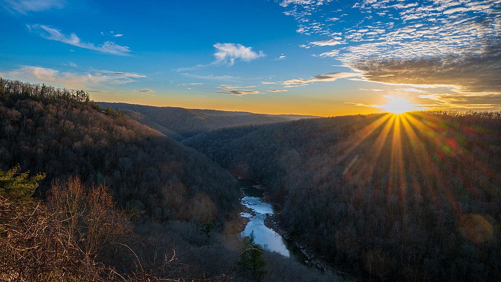

Photo Credits (5)
Difficulty
Moderate
Trail Length
2.5 miles
Trail Type
Out And Back
Elevation Gain
300 ft
About The Falls
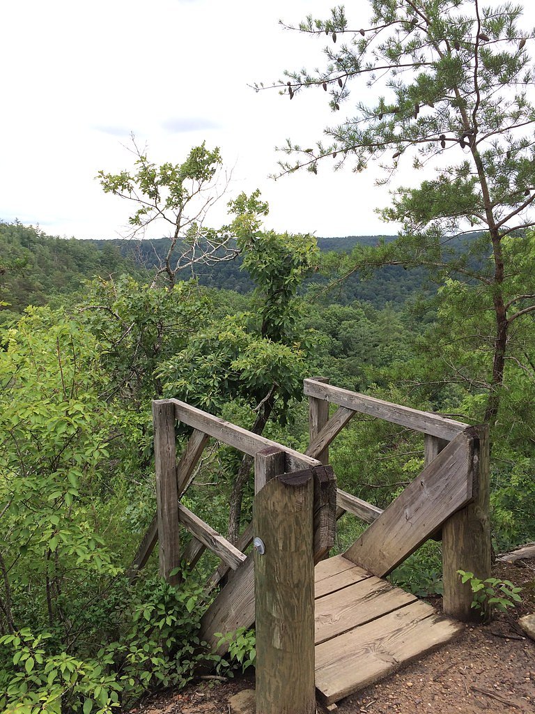
Tucked into the rugged sandstone country of the Big South Fork National River and Recreation Area and managed by the National Park Service, The Falls offers a peaceful cascade framed by mixed hardwood forest and the park’s characteristic gorges. The Big South Fork unit spans parts of Tennessee and Kentucky and protects the gorge of the Big South Fork of the Cumberland River; portions of the river are designated Wild and Scenic (WSR), adding to the area’s scenic and recreational importance. The NPS manages access and stewardship here, so expect maintained trails and guidance consistent with park regulations. The Falls is a favorite short outing for hikers and photographers looking for a quick nature escape. Camping is convenient for multi-day trips: Bandy Creek Campground lies about 4.22 km away, making early starts or overnight plans easy to arrange. Follow NPS signage and seasonal notices, pack out what you pack in, and bring sturdy footwear — the setting is scenic but naturally rugged.
The Setting
The Falls sits at 850 feet within Big South Fork National River and Recreation Area, fed by the South Fk Cumberland River, in the foothills of Tennessee.
Trail & Hike Details
The Approach
The moderate 2.5-mile out-and-back trail gains 300 feet of elevation on the way to the falls.
Trail Description
This is a 2.5-mile out-and-back route with roughly 300 feet of elevation gain and a moderate difficulty rating. The path winds through forested terrain and includes some rocky, uneven sections; it’s generally well-marked but can become muddy after rain, so good traction is recommended. The route is managed as part of the National Park Service’s Big South Fork National River and Recreation Area (there is no USFS trail number for this NPS-managed route). Trail surface and technical class data from USFS sources are not applicable for this NPS trail; hikers should expect natural dirt tread with intermittent rock and root obstacles and a moderate grade over the route.
What to Expect
Dogs are welcome.
Accessibility
The trail is not wheelchair accessible. Uneven terrain and elevation changes require steady footing.
Frequently Asked Questions
🐶 Are Dogs Allowed at The Falls?
✅ Dogs are allowed
Are There Any Fees or Permits Required?
🆖 No fees required
🏊 Is There Swimming at The Falls?
❌ Swimming is not allowed
When to Visit
Spring and early summer are ideal for visiting, as the waterfall flow is typically strongest during these seasons. Fall offers beautiful foliage, while winter may provide a quieter experience.
Seasonal Access
The best time to visit is Spring, Summer, and Fall. Winter access may be limited. Check the National Park Service website for current conditions.
Safety Information
The rocks near the waterfall can be slippery, especially after rain. Visitors should exercise caution and avoid climbing on wet or unstable surfaces. Be prepared for changing weather conditions.
Current Water Conditions
36,800 ft³/s
Current discharge — how much water is flowing
Much higher than usual for this time of year
Based on 31 years of record
24.98 ft
Water depth at gauge
7-Day Discharge Trend
What does this mean for your visit?
The water is flowing much higher than usual, expect an impressive display.
About This Gauge
7-Day Flow Outlook
Based on the USGS gauge SOUTH FK CUMBERLAND RIVER AT LEATHERWOOD FORD, TN (3 km away).
Today
Roaring
36800 cfs
9/10Tomorrow
Roaring
32621 cfs
9/10Wed
Roaring
37717 cfs
6/10Thu
Roaring
31551 cfs
9/10Fri
Roaring
38908 cfs
6/10Sat
Roaring
35398 cfs
6/10Sun
Roaring
30481 cfs
6/10Best window: Today — roaring flow, mostly sunny (trip score 9/10).
Best time of year: this gauge typically runs highest from mid February to early March, peaking in January.
How we calculate this
This is a transparent outlook, not a precise forecast. We take the waterfall's current flow strength (how it ranks against its historical normal for today, from the nearest USGS stream gauge), carry that ranking forward along the gauge's seasonal curve, and nudge it for forecast rain. Confidence is highest for the next day or two and falls further out. Always check official conditions and your own judgment before visiting — high flows can be dangerous.
Know when to go.
Get a free email alert when waterfalls near Oneida hit peak flow. We only send when conditions are worth the trip — no weekly newsletters, no spam.
Weather Forecast
Location & Access
Getting There
The Falls is accessible via a trailhead located in a rural area of Tennessee. Visitors should use GPS or local maps to navigate to the parking area, as signage may be limited.
Get Directions on Google MapsParking
There is a small parking area near the trailhead, but availability may be limited during peak seasons.
Elevation
850 feet above sea level
Coordinates
36.495354° N, -84.651051° W
Land Management
Managed by NPS
Visitor Tips & Gear
Wear sturdy hiking shoes, especially after rain, as the trail can be muddy and slippery. Arrive early to secure parking and avoid crowds. Bring water and snacks, as there are no facilities along the trail.
As an Amazon Associate, we earn from qualifying purchases.
With 2.5 miles and 300 ft of elevation gain, sturdy boots and trekking poles will help on this moderate trail. Sun exposure on the trail makes good sun protection a must in summer.
America the Beautiful Annual Pass
Covers entrance fees at 2,000+ federal recreation sites — required at most National Parks.

Polarized Sunglasses (Knockaround)
Cuts glare off the water so you actually see the falls — and your photos turn out better too.

Columbia Watertight II Rain Jacket
Packs into its own pocket, seam-sealed, and keeps you dry from spray and surprise rain.

Earth Pak Waterproof Dry Bag
Keeps your phone and gear dry when waterfall mist soaks everything else.

Waterproof Phone Pouch (AiRunTech)
Cheap insurance — take photos right next to the falls without killing your phone.

Timberland Euro Sprint Mid Waterproof
Trusted waterproof boot with premium leather and grippy rubber sole — reliable on rocky, wet trails.

TrailBuddy Trekking Poles
Lightweight aluminum, cork grips, and flip-locks that actually hold — a best-seller for good reason.
Where to Stay

Black House Mountain ATV Campground

Big South Fork Lodge

Holiday Inn Express & Suites Caryville by IHG

Holiday Inn Express Williamsburg by IHG
Browse vacation cabins and private rentals nearby
Unique outdoor stays — tents, yurts, and treehouses
Rent a campervan or RV for your waterfall road trip
Some links are affiliate links. We may earn a commission at no extra cost to you.
Nearby Campground
BANDY CREEK
2.6 miles away · 145 sites
Overview Bandy Creek is a spacious and modern campground, situated in The Big South Fork National River and Recreation Area--a vast and scenic expanse of land that offers visitors countless recreational activities.Recreation Numerous trails snake through the Recreation Area, offering mountain biking, hiking and horseback riding for visitors. A swimming pool, along with on-site volleyball court, playgrounds and ball fields, make Bandy Creek an ideal spot for families. The main river of the Big Sou
Book on Recreation.govAdditional Information
Nearby Attractions
Nearby attractions may include other hiking trails, scenic overlooks, and small towns with local shops and restaurants.
Wildlife
The area is home to a variety of wildlife, including birds, deer, and small mammals. Visitors should be cautious of snakes and other potentially hazardous animals.
Cities near The Falls
Nearby Waterfalls

Other waterfalls named The Falls
20 other waterfalls share this name across the U.S.
Writing about The Falls? Embed this waterfall on your site for free.