Photo Credits (5)
Difficulty
Easy
Trail Length
1.5 miles
Trail Type
Out And Back
Elevation Gain
200 ft
About The Falls
Nestled within Lincoln National Forest, The Falls is a small, scenic cascade tucked into a tranquil stand of trees. Flow varies with the seasons, and spring to early summer typically delivers the most impressive run from snowmelt. The setting is peaceful and green, a favorite short outing for hikers and nature lovers looking for a quick, restorative stop in the forest. The waterfall is accessed via a short 1.5-mile out-and-back trail with about 200 feet of elevation gain and an easy difficulty rating. The well-marked route climbs gently through forested terrain and ends at the base of the falls, where you can relax and take in the view. The route is managed as part of Lincoln National Forest (U.S. Forest Service); the nearest developed camping is McGaffey Campground, roughly 19.5 km away for those planning an overnight stay.
Trail & Hike Details
The Approach
The easy 1.5-mile out-and-back trail gains 200 feet of elevation on the way to the falls.
Trail Description
Length: 1.5 miles (out-and-back). Elevation gain: ~200 feet. Difficulty: Easy. The trail is a short, well-marked out-and-back with a gentle incline that makes it accessible to most visitors, including families. It leads directly to the base of the waterfall, where the trail terminates. Surface, grade, and an official USFS trail class are not specified in the provided data; expect typical forest footpath conditions and plan accordingly (sturdy footwear, water, and season-appropriate gear).
What to Expect
Dogs are welcome.
Accessibility
The trail is not wheelchair accessible. Uneven terrain and elevation changes require steady footing.
Frequently Asked Questions
🐶 Are Dogs Allowed at The Falls?
✅ Dogs are allowed
Are There Any Fees or Permits Required?
🆖 No fees required
🏊 Is There Swimming at The Falls?
❌ Swimming is not allowed
When to Visit
Spring and early summer are the best times to visit, as the waterfall is typically at its fullest due to snowmelt. Fall offers beautiful foliage, while winter may bring icy conditions.
Seasonal Access
The best time to visit is Spring, Summer, and Fall. Access roads and trails may close during winter due to snow. Watch for flash flood warnings during monsoon season (July through September).
Safety Information
Be cautious of slippery rocks near the waterfall. Check weather conditions before visiting, as the trail may become muddy or icy. Always stay on marked trails to avoid getting lost.
Current Water Conditions
0 ft³/s
Current discharge — how much water is flowing
About average for this time of year
Based on 54 years of record
7.73 ft
Water depth at gauge
7-Day Discharge Trend
What does this mean for your visit?
Flow is about average for this time of year.
About This Gauge
This gauge is on a nearby waterway and may not reflect exact conditions at the falls.
7-Day Flow Outlook
Based on the USGS gauge RIO NUTRIA NEAR RAMAH, NM (13 km away).
Today
Strong
0 cfs
10/10Tomorrow
Strong
0 cfs
10/10Mon
Strong
0 cfs
10/10Tue
Strong
0 cfs
10/10Wed
Strong
0 cfs
10/10Thu
Strong
0 cfs
10/10Fri
Strong
0 cfs
10/10Best window: Today — strong flow, sunny (trip score 10/10).
Best time of year: this gauge typically runs highest from early February to early May, peaking in March.
How we calculate this
This is a transparent outlook, not a precise forecast. We take the waterfall's current flow strength (how it ranks against its historical normal for today, from the nearest USGS stream gauge), carry that ranking forward along the gauge's seasonal curve, and nudge it for forecast rain. Confidence is highest for the next day or two and falls further out. Always check official conditions and your own judgment before visiting — high flows can be dangerous.
Know when to go.
Get a free email alert when waterfalls near Timberlake hit peak flow. We only send when conditions are worth the trip — no weekly newsletters, no spam.
Weather Forecast
Location & Access
Getting There
The Falls is located near the town of Cloudcroft in the Lincoln National Forest. Visitors can access the trailhead via Forest Road 24B, which is typically accessible by most vehicles during dry conditions. Check local road conditions before visiting.
Get Directions on Google MapsParking
There is a small parking area near the trailhead, but spaces may be limited during peak seasons.
Elevation
7,320 feet above sea level
Coordinates
35.207809° N, -108.443129° W
Visitor Tips & Gear
Arrive early during weekends or holidays to secure parking. Wear sturdy shoes as the trail may be muddy or slippery after rain. Bring water and snacks, as there are no facilities along the trail.
This trail sits at 7,320 ft above sea level
Elevated TrailUV radiation is roughly 29% stronger at this elevation than at sea level, and the dry air accelerates dehydration. Extra sun protection and fluids go a long way.
As an Amazon Associate, we earn from qualifying purchases.

Coppertone Sport SPF 50 Sunscreen
UV intensity jumps ~4% per 1,000 ft — at this elevation you can burn in half the time.

Sun Bum SPF 30 Lip Balm (3-Pack)
Lips have almost no natural UV protection and burn fast in thin, dry mountain air.

Liquid I.V. Electrolyte Packets
You lose moisture ~2x faster at elevation — electrolytes help you absorb water efficiently.

ROCKNIGHT Polarized UV400 Sunglasses
High-altitude glare off rock and water is intense — UV400 lenses block 99%+ of UVA/UVB.
As an Amazon Associate, we earn from qualifying purchases.
This easy 1.5 miles hike is straightforward — comfortable trail shoes and plenty of water should do. Sun exposure on the trail makes good sun protection a must in summer.

Polarized Sunglasses (Knockaround)
Cuts glare off the water so you actually see the falls — and your photos turn out better too.

Columbia Watertight II Rain Jacket
Packs into its own pocket, seam-sealed, and keeps you dry from spray and surprise rain.

Earth Pak Waterproof Dry Bag
Keeps your phone and gear dry when waterfall mist soaks everything else.

Waterproof Phone Pouch (AiRunTech)
Cheap insurance — take photos right next to the falls without killing your phone.

JOBY GorillaPod Starter Kit
Wraps around railings and rocks for long-exposure waterfall shots — no flat surface needed.

Osprey Daylite Daypack
Light, organized, and just the right size for a day hike — fits water, snacks, and layers.
Where to Stay

Inn at Halona

Best Western Gallup West

Knights Inn Gallup at 3208 W Hwy 66

Microtel Inn & Suites by Wyndham Gallup - PET FRIENDLY
Browse vacation cabins and private rentals nearby
Unique outdoor stays — tents, yurts, and treehouses
Rent a campervan or RV for your waterfall road trip
Some links are affiliate links. We may earn a commission at no extra cost to you.
Nearby Campground
McGaffey Campground
12.1 miles away · 0 sites
This campground is situated in what was once the historic railroad logging and sawmill town of McGaffey. McGaffey Campground was built in 1937 and lies west of the Continental Divide in the Zuni Mountains, at an elevation of approximately 8,000 feet. It is the largest of the Mt. Taylor Ranger District campgrounds and has a volunteer host on site. Mature ponderosa pine trees provide scenic settings and shade, while small hills provide some privacy. Follow the road past the entrance, staying to
Book on Recreation.govNearby Hot Springs
Hot springs near Timberlake, New Mexico
Looking for a soak after your hike? Explore more hot springs near Timberlake, New Mexico on SoakingSprings.
Explore New Mexico springsAdditional Information
Nearby Attractions
Nearby attractions include the town of Cloudcroft, the Trestle Recreation Area, and other hiking trails in the Lincoln National Forest.
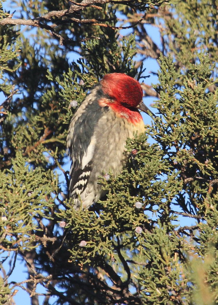
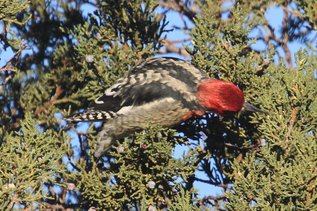
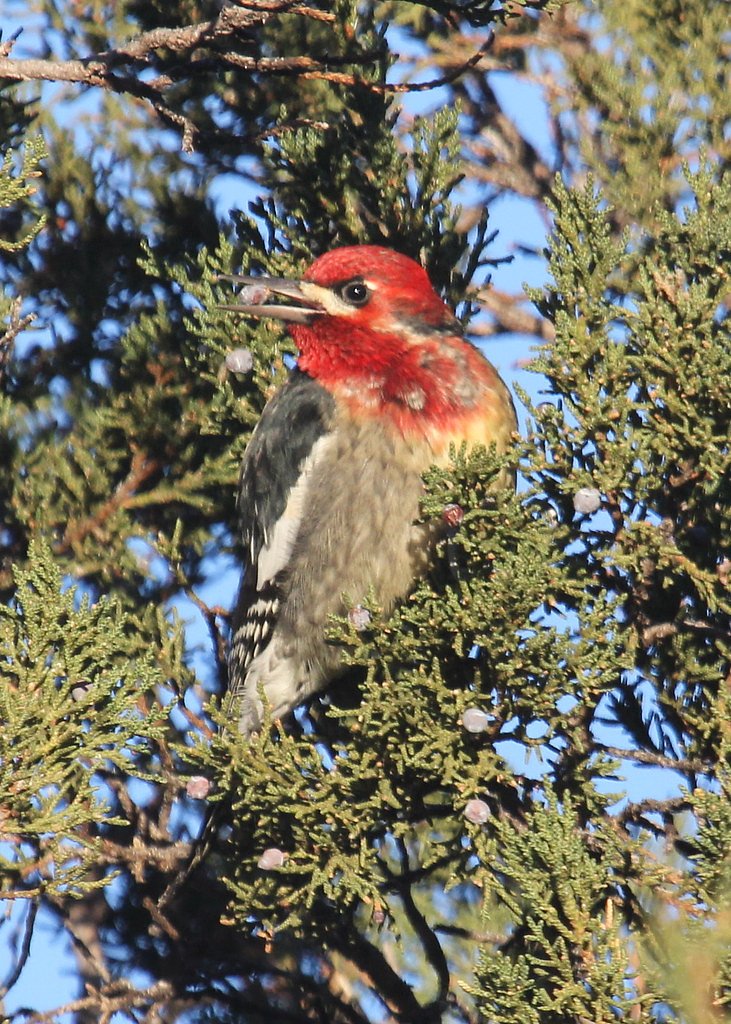
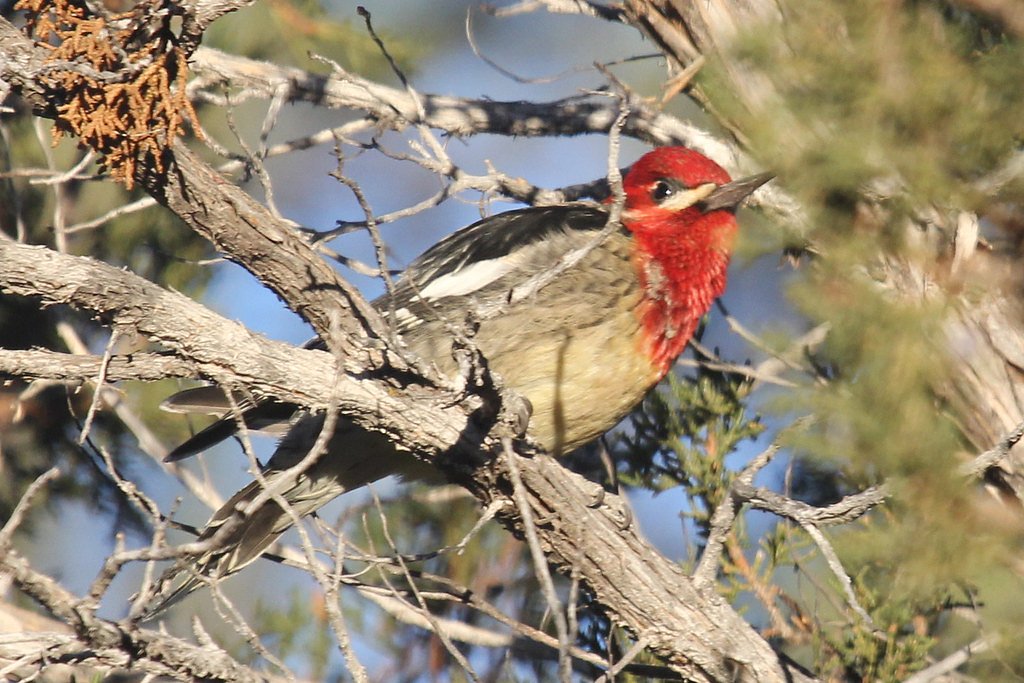
Wildlife
The area is home to various wildlife, including birds, deer, and small mammals. Be cautious of snakes during warmer months.
Cities near The Falls
Other waterfalls named The Falls
20 other waterfalls share this name across the U.S.
Writing about The Falls? Embed this waterfall on your site for free.