Photo Credits (5)
Difficulty
Moderate
Trail Length
2.4 miles
Trail Type
Out And Back
Elevation Gain
350 ft
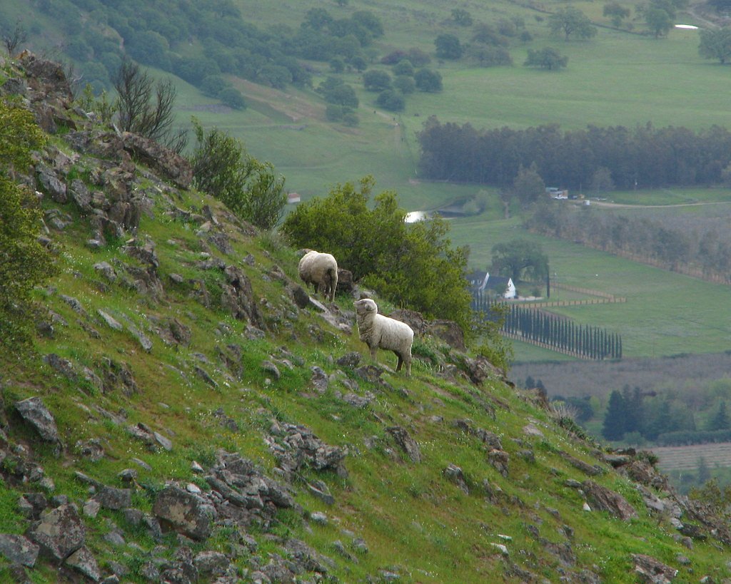
About The Falls
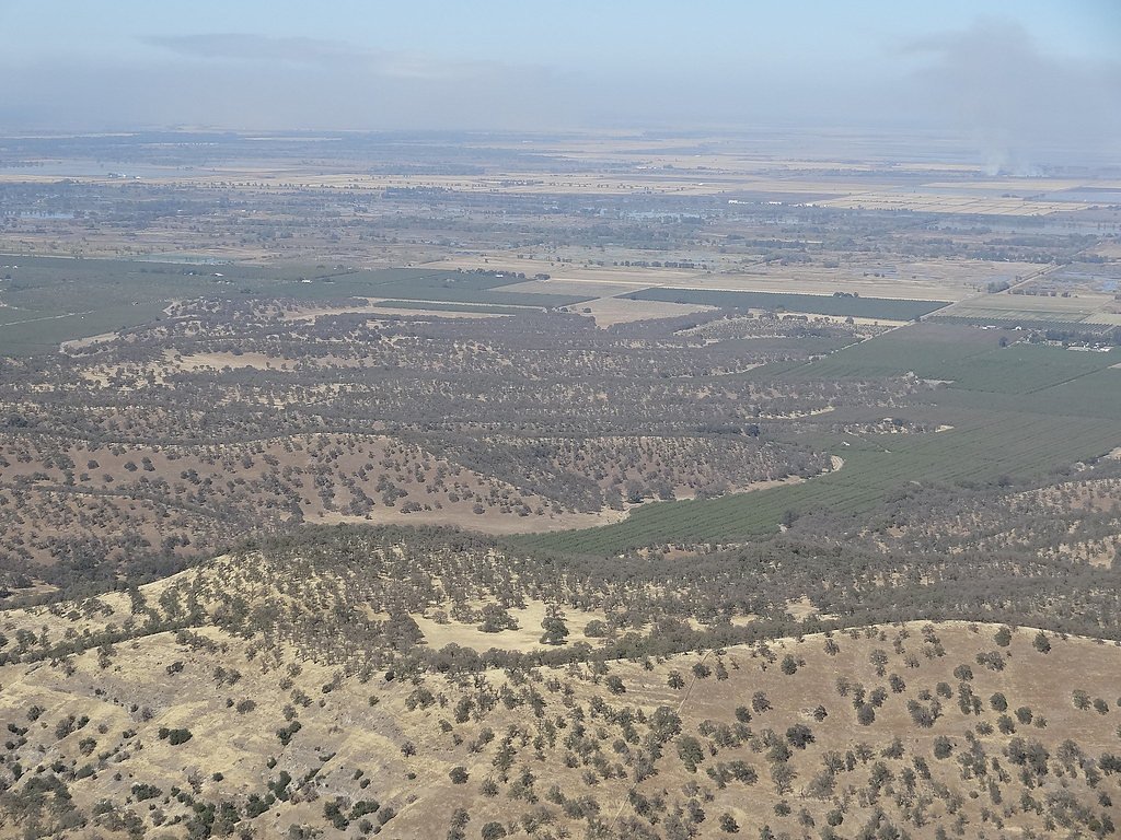
The Falls, located near Sutter, California, is a lesser-known waterfall in the region. It may be a seasonal waterfall, with flow depending on rainfall and snowmelt. The surrounding area is rural and offers scenic views of the countryside.
Trail & Hike Details
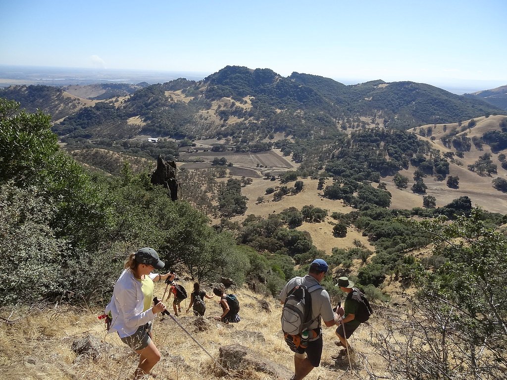
The Approach
The moderate 2.4-mile out-and-back trail gains 350 feet of elevation on the way to the falls.
Trail Description
Details about the trail leading to The Falls are not well-documented. It is advised to research local hiking forums or contact nearby park services for updated trail information.
What to Expect
Visitors can expect a quiet, rural setting with potential views of a seasonal waterfall. The flow of the waterfall may vary depending on recent weather conditions.
Accessibility
The trail is not wheelchair accessible. Uneven terrain and elevation changes require steady footing.
Frequently Asked Questions
🐶 Are Dogs Allowed at The Falls?
❌ Dogs are not allowed
Are There Any Fees or Permits Required?
🆖 No fees required
🏊 Is There Swimming at The Falls?
❌ Swimming is not allowed
When to Visit
Spring is likely the best time to visit, as the waterfall may have the most flow due to snowmelt and seasonal rains.
Seasonal Access
The best time to visit is Spring, Summer, Fall, and Winter.
Safety Information
Visitors should be cautious of slippery rocks, uneven terrain, and potential changes in water flow. Cell service may be limited in the area.
Current Water Conditions
8,060 ft³/s
Current discharge — how much water is flowing
About average for this time of year
Based on 80 years of record
43.38 ft
Water depth at gauge
7-Day Discharge Trend
What does this mean for your visit?
Flow is about average for this time of year.
About This Gauge
This gauge is on a nearby waterway and may not reflect exact conditions at the falls.
7-Day Flow Outlook
Based on the USGS gauge SACRAMENTO R A COLUSA CA (15 km away).
Today
Barely Flowing
8060 cfs
5/10Tomorrow
Barely Flowing
8191 cfs
5/10Mon
Barely Flowing
8363 cfs
5/10Tue
Barely Flowing
8554 cfs
5/10Wed
Barely Flowing
8564 cfs
5/10Thu
Barely Flowing
8443 cfs
5/10Fri
Barely Flowing
8423 cfs
5/10Best window: Today — barely flowing flow, sunny (trip score 5/10).
Best time of year: this gauge typically runs highest from mid January to early April, peaking in February.
How we calculate this
This is a transparent outlook, not a precise forecast. We take the waterfall's current flow strength (how it ranks against its historical normal for today, from the nearest USGS stream gauge), carry that ranking forward along the gauge's seasonal curve, and nudge it for forecast rain. Confidence is highest for the next day or two and falls further out. Always check official conditions and your own judgment before visiting — high flows can be dangerous.
Know when to go.
Get a free email alert when waterfalls near Sutter hit peak flow. We only send when conditions are worth the trip — no weekly newsletters, no spam.
Weather Forecast
Location & Access
Getting There
The Falls is located approximately 7.1 miles from Sutter, 7.5 miles from Meridian, and 8.7 miles from Colusa. The exact access route is unclear, but it is recommended to use GPS coordinates (39.2282, -121.8328) for navigation.
Get Directions on Google MapsParking
Parking availability is uncertain. Visitors should prepare for limited or roadside parking options.
Elevation
564 feet above sea level
Coordinates
39.228223° N, -121.832750° W
Visitor Tips & Gear
Bring a map or GPS device as the area may lack clear signage. Check weather conditions before visiting, as the waterfall's flow may depend on recent rainfall.
As an Amazon Associate, we earn from qualifying purchases.
With 2.4 miles and 350 ft of elevation gain, sturdy boots and trekking poles will help on this moderate trail. Icy conditions are common in winter — traction cleats are a smart addition.

Columbia Watertight II Rain Jacket
Packs into its own pocket, seam-sealed, and keeps you dry from spray and surprise rain.

Polarized Sunglasses (Knockaround)
Cuts glare off the water so you actually see the falls — and your photos turn out better too.

Earth Pak Waterproof Dry Bag
Keeps your phone and gear dry when waterfall mist soaks everything else.

Waterproof Phone Pouch (AiRunTech)
Cheap insurance — take photos right next to the falls without killing your phone.

Timberland Euro Sprint Mid Waterproof
Trusted waterproof boot with premium leather and grippy rubber sole — reliable on rocky, wet trails.

TrailBuddy Trekking Poles
Lightweight aluminum, cork grips, and flip-locks that actually hold — a best-seller for good reason.
Where to Stay

Quality Inn Yuba City-Marysville

Spark by Hilton Newest Hotel in Williams CA

Comfort Suites Marysville-Yuba City

Hampton Inn & Suites Oroville
Browse vacation cabins and private rentals nearby
Unique outdoor stays — tents, yurts, and treehouses
Rent a campervan or RV for your waterfall road trip
Some links are affiliate links. We may earn a commission at no extra cost to you.
Nearby Hot Springs
Hot springs near Sutter, California

Pseudo Complexion Spring
Pseudo Complexion Spring flows at 81°F in Lake County, creating warmth approximately 21 degrees above the cool California inter...

Wilbur Springs
Wilbur Springs flows at 153 degrees Fahrenheit in Lake County's rugged terrain at 1,721 feet elevation, just 2.7 meters from th...
Blank Spring, Manzanita Mine Sprs
Blank Spring, also known as Manzanita Mine Springs, produces 112-degree water from volcanic Lake County terrain at 1,721 feet e...

Jones Fountain Of Life Spring
Jones Fountain of Life Spring discharges 142-degree water at 1,721 feet elevation in Lake County near Clearlake, creating an 81...

Elgin Mine
Elgin Mine emerges at 156°F from the geothermally active landscape of Lake County near Clearlake, where thermal features scatte...
Abbott Mine
Abbott Mine thermal spring discharges at 86 degrees Fahrenheit on Bureau of Land Management lands in Lake County near Clearlake...
Looking for a soak after your hike? Explore more hot springs near Sutter, California on SoakingSprings.
Explore California springsAdditional Information
Nearby Attractions
Nearby towns include Sutter, Meridian, and Colusa, which offer small-town charm and local amenities.
Wildlife
The area may host local wildlife such as birds, deer, and small mammals. Be cautious of potential encounters with snakes or other wildlife.
Cities near The Falls
Other waterfalls named The Falls
20 other waterfalls share this name across the U.S.
Writing about The Falls? Embed this waterfall on your site for free.