The Falls
By Armen Suny · Last verified Mar 2026
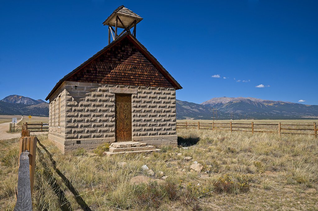
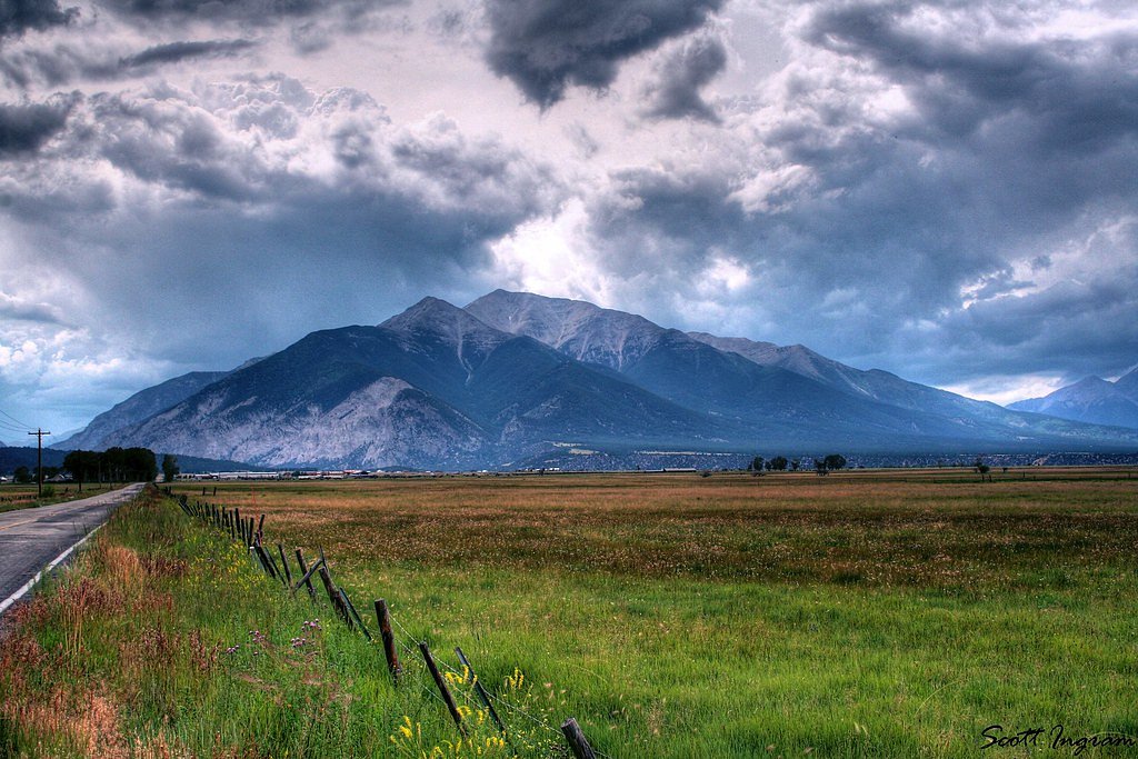
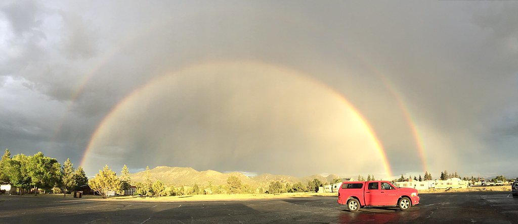
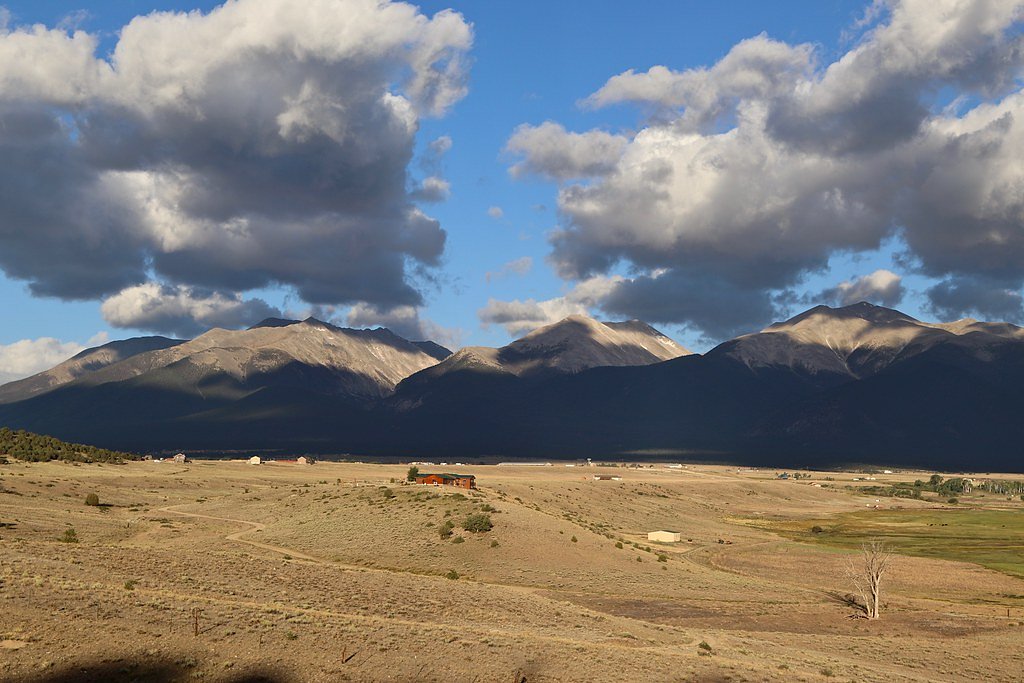
Photo Credits (5)
Difficulty
Moderate
Trail Length
2.4 miles
Trail Type
Out And Back
Elevation Gain
350 ft
About The Falls
The Falls in Colorado is a compact, scenic waterfall that makes for a satisfying short hike and a popular day outing. The route to the falls is an out-and-back of about 2.4 miles with roughly 350 feet of elevation gain, so you get a little climb without committing to a full-day trek. The trail’s moderate rating means it’s well suited to hikers who are comfortable with steady uphill sections and want a relatively quick reward: a close-up view of cascading water framed by Colorado’s natural scenery. Along the way you’ll find classic mixed-terrain hiking—short uphill pitches and level stretches that open to the falls—making the hike pleasant for casual hikers and good for families used to moderate distances. Pack water and sturdy footwear, and plan for variable conditions depending on season; the short length and moderate grade make this an appealing option for an afternoon escape into nature.
The Setting
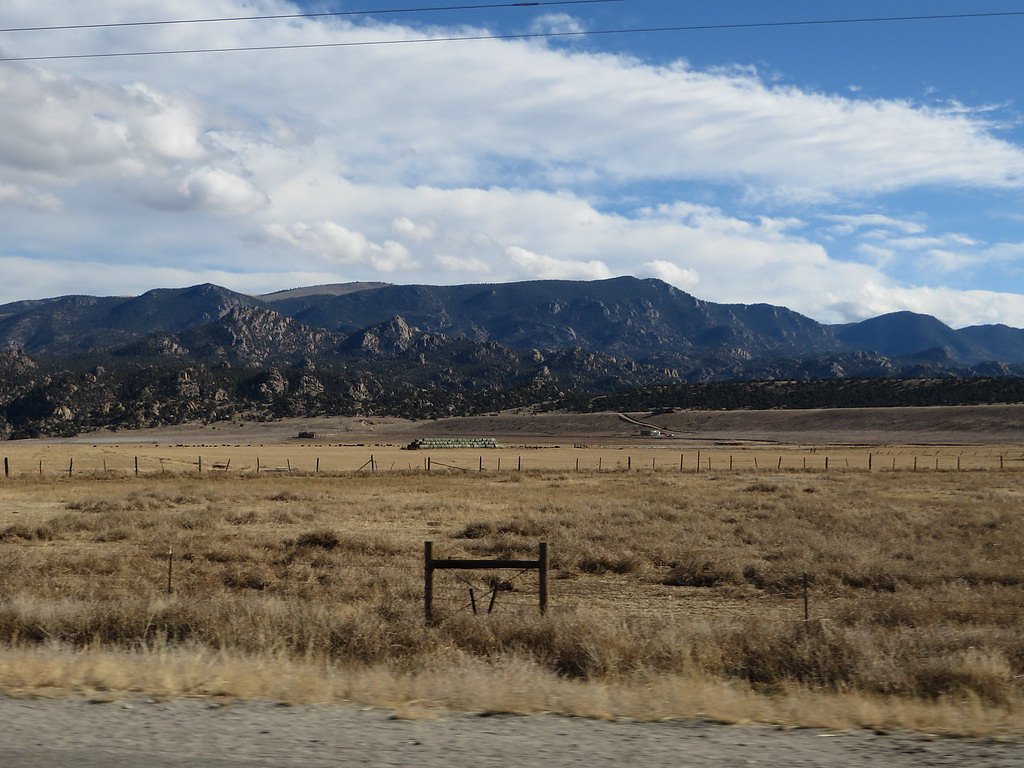
The Falls sits at 7,949 feet along the Arkansas River, in the high mountains of Colorado.
Trail & Hike Details
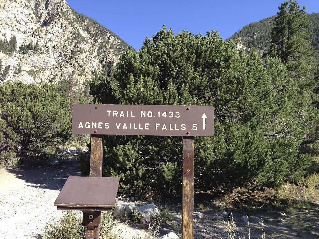
The Approach
The moderate 2.4-mile out-and-back trail gains 350 feet of elevation on the way to the falls.
Trail Description
Trail type: out-and-back. Total distance: 2.4 miles (round trip). Elevation gain: approximately 350 feet. Difficulty: moderate. The trail covers relatively short, steady grades over a mixture of level and sloped sections; specific surface, trail class, and USFS trail number data are not provided in the source information.
What to Expect
Visitors can expect beautiful natural scenery, the sound of cascading water, and potentially opportunities for photography or relaxation. The experience will vary depending on the specific waterfall and its surroundings.
Accessibility
The trail is not wheelchair accessible. Uneven terrain and elevation changes require steady footing.
Frequently Asked Questions
🐶 Are Dogs Allowed at The Falls?
❌ Dogs are not allowed
Are There Any Fees or Permits Required?
🆖 No fees required
🏊 Is There Swimming at The Falls?
❌ Swimming is not allowed
When to Visit
Spring and early summer are typically the best times to visit waterfalls in Colorado, as snowmelt increases water flow. Fall may also offer beautiful foliage, while winter visits may provide unique frozen waterfall views.
Seasonal Access
The best time to visit is Spring, Summer, and Fall. Access roads and trails may close during winter due to snow.
Safety Information
Be cautious of slippery rocks near the waterfall and stay on marked trails. Check weather conditions before visiting, as sudden storms can occur in Colorado. Always carry sufficient water and be prepared for altitude-related challenges.
Current Water Conditions
163 ft³/s
Current discharge — how much water is flowing
Much lower than usual for this time of year
Based on 55 years of record
3.25 ft
Water depth at gauge
7-Day Discharge Trend
What does this mean for your visit?
Flow is well below normal for this time of year, so the waterfall may be a trickle.
About This Gauge
This gauge is on a nearby waterway and may not reflect exact conditions at the falls.
7-Day Flow Outlook
Based on the USGS gauge ARKANSAS RIVER NEAR NATHROP, CO (13 km away).
Today
Low
186 cfs
3/10Tomorrow
Moderate
200 cfs
4/10Wed
Moderate
193 cfs
4/10Thu
Moderate
190 cfs
4/10Fri
Moderate
179 cfs
4/10Sat
Moderate
186 cfs
4/10Sun
Moderate
177 cfs
4/10Best window: Tomorrow — moderate flow, mostly sunny then slight chance showers and thunderstorms (trip score 4/10).
Best time of year: this gauge typically runs highest from mid May to mid August, peaking in June.
How we calculate this
This is a transparent outlook, not a precise forecast. We take the waterfall's current flow strength (how it ranks against its historical normal for today, from the nearest USGS stream gauge), carry that ranking forward along the gauge's seasonal curve, and nudge it for forecast rain. Confidence is highest for the next day or two and falls further out. Always check official conditions and your own judgment before visiting — high flows can be dangerous.
Know when to go.
Get a free email alert when waterfalls near Nathrop hit peak flow. We only send when conditions are worth the trip — no weekly newsletters, no spam.
Weather Forecast
Location & Access
Getting There
The exact location of 'The Falls' in Colorado is unclear, as there are multiple waterfalls in the state referred to by this name. Visitors should research the specific waterfall they intend to visit and follow directions provided by local resources or trail guides.
Get Directions on Google MapsParking
Parking availability may vary depending on the specific location of 'The Falls.' It is recommended to check local trailhead information or park websites for details.
Elevation
7,949 feet above sea level
Coordinates
38.772774° N, -106.062515° W
Visitor Tips & Gear
Wear sturdy footwear, bring plenty of water, and check weather conditions before heading out. If visiting during peak seasons, arrive early to secure parking and avoid crowds.
This trail sits at 7,949 ft above sea level
Elevated TrailUV radiation is roughly 32% stronger at this elevation than at sea level, and the dry air accelerates dehydration. Extra sun protection and fluids go a long way.
As an Amazon Associate, we earn from qualifying purchases.

Coppertone Sport SPF 50 Sunscreen
UV intensity jumps ~4% per 1,000 ft — at this elevation you can burn in half the time.

Sun Bum SPF 30 Lip Balm (3-Pack)
Lips have almost no natural UV protection and burn fast in thin, dry mountain air.

Liquid I.V. Electrolyte Packets
You lose moisture ~2x faster at elevation — electrolytes help you absorb water efficiently.

ROCKNIGHT Polarized UV400 Sunglasses
High-altitude glare off rock and water is intense — UV400 lenses block 99%+ of UVA/UVB.
As an Amazon Associate, we earn from qualifying purchases.
With 2.4 miles and 350 ft of elevation gain, sturdy boots and trekking poles will help on this moderate trail. Sun exposure on the trail makes good sun protection a must in summer.

Polarized Sunglasses (Knockaround)
Cuts glare off the water so you actually see the falls — and your photos turn out better too.

Columbia Watertight II Rain Jacket
Packs into its own pocket, seam-sealed, and keeps you dry from spray and surprise rain.

Earth Pak Waterproof Dry Bag
Keeps your phone and gear dry when waterfall mist soaks everything else.

Waterproof Phone Pouch (AiRunTech)
Cheap insurance — take photos right next to the falls without killing your phone.

Timberland Euro Sprint Mid Waterproof
Trusted waterproof boot with premium leather and grippy rubber sole — reliable on rocky, wet trails.

TrailBuddy Trekking Poles
Lightweight aluminum, cork grips, and flip-locks that actually hold — a best-seller for good reason.
Where to Stay

Slackwater Inn

Whitewater Peak - Cozy Retreat with Scenic Views

Vista Court Cabins & Lodge

Mount Princeton Hot Springs Resort
Browse vacation cabins and private rentals nearby
Unique outdoor stays — tents, yurts, and treehouses
Rent a campervan or RV for your waterfall road trip
Some links are affiliate links. We may earn a commission at no extra cost to you.
Nearby Campground
BASSAM GUARD STATION
6.7 miles away · 1 sites
Overview Bassam Guard Station was built in 1911 as one of a network of remote stations to be used by the first forest rangers and guards to monitor grazing sheep and cattle, manage timber harvesting, apprehended poachers, and report fire, road and weather conditions on National Forest lands. This cabin provides visitors with access to many recreation opportunities in the remote back country. Recreation Visitors may wish to take a day trip to the Arkansas River for kayaking, whitewater rafting or
Book on Recreation.govNearby Hot Springs
Hot springs near Nathrop, Colorado
Browns Canyon Warm Spring
Browns Canyon Warm Spring flows at 77 degrees Fahrenheit alongside the Arkansas River in Chaffee County on Bureau of Land Manag...
Mount Princeton Hot Springs
Mount Princeton Hot Springs flows at 133°F in Chaffee County at 8,142 feet elevation near Buena Vista, where developed resort f...

Hortense Hot Spring
Hortense Hot Spring ranks among Colorado's most thermally impressive geothermal features, with water emerging at a blistering 1...
Aqua Hot Spring
Aqua Hot Spring emerges at 102 degrees Fahrenheit in Chaffee County, notable for its roadside access and balanced mineral compo...
Browns Grotto Warm Spring
Browns Grotto Warm Spring flows at 73 degrees Fahrenheit near Salida in Chaffee County, slightly cooler than its nearby counter...
Cottonwood Hot Springs
Cottonwood Hot Springs emerges at an extraordinary 136 degrees Fahrenheit near Buena Vista, a scorching roadside spring in the ...
Looking for a soak after your hike? Explore more hot springs near Nathrop, Colorado on SoakingSprings.
Explore Colorado springsAdditional Information
Nearby Attractions
Nearby attractions will depend on the specific location of 'The Falls.' Colorado is home to many natural landmarks, hiking trails, and scenic areas.
Wildlife
Wildlife in the area may include deer, birds, and small mammals. Be cautious of bears and other larger wildlife, especially in remote areas.
Cities near The Falls
Nearby Waterfalls
Other waterfalls named The Falls
20 other waterfalls share this name across the U.S.
Writing about The Falls? Embed this waterfall on your site for free.