Photo Credits (3)
Difficulty
Moderate
Trail Length
2.4 miles
Trail Type
Out And Back
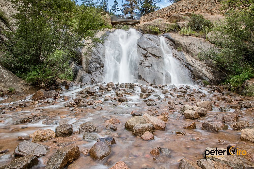
About Rainbow Falls
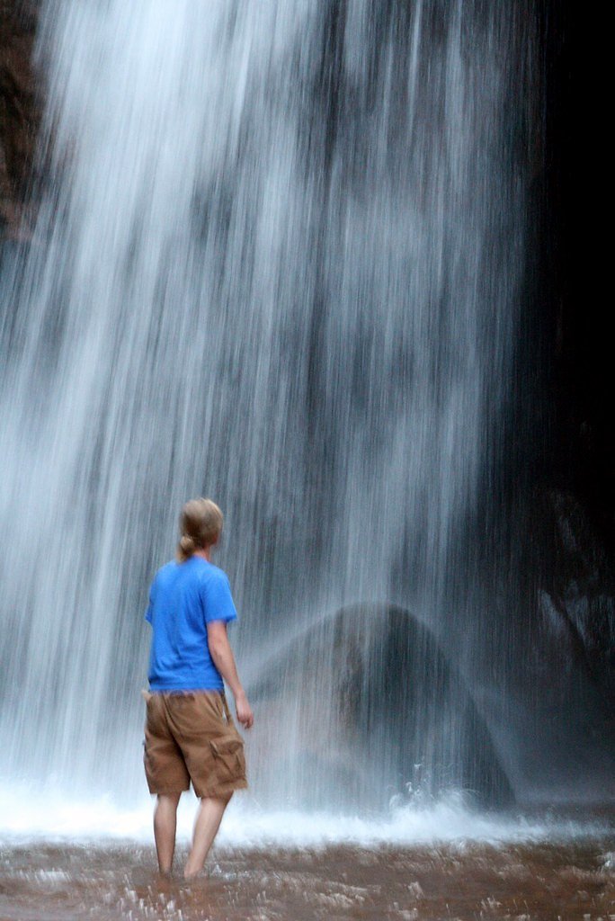
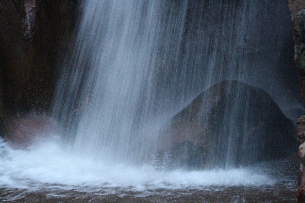
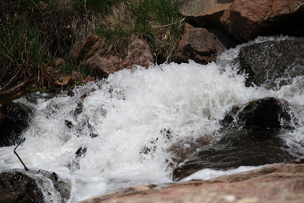
Rainbow Falls (locally known as Graffiti Falls) is a small, picture-perfect cascade just outside Manitou Springs, Colorado. The rocky amphitheater and the bridge above the falls are covered in vibrant graffiti art, giving the spot a colorful, urban-meets-nature vibe that makes for memorable photos and a quick, rewarding outing. The site is an ideal short hike for exploring the creekside scenery and the painted rock faces. While the falls themselves are compact, the setting feels dramatic—visitors should be prepared for uneven, rocky ground near the water and respect the local artwork. The route to the falls is popular with both locals and visitors looking for a moderate, accessible excursion close to town.
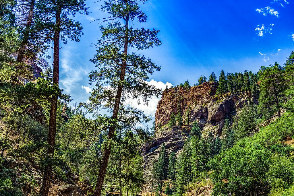
The Setting
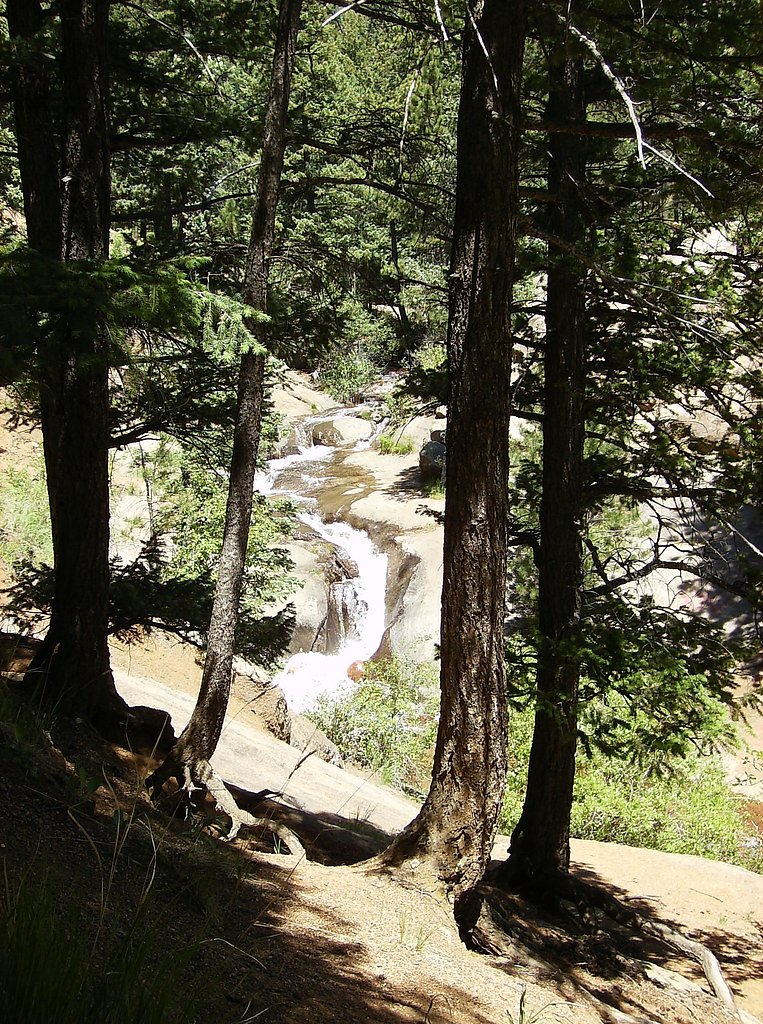
Rainbow Falls sits at 6,575 feet along the Fountain Creek, in the high mountains of Colorado.
Nearby Falls Worth Visiting
Seven Falls (181 ft) lies 6.8 miles to the southeast. Also nearby: Helen Hunt Falls (35 ft, 5.8 mi).
Trail & Hike Details
Trail Description
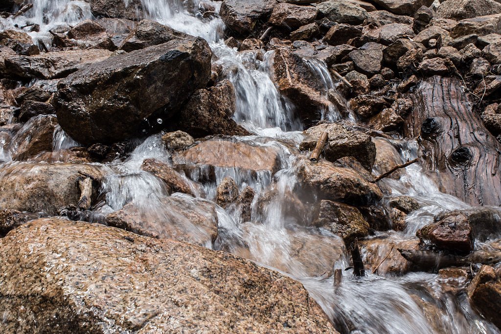
There isn't so much a trail as a short walk. The waterfall is basically in town. As a kid growing up in Colorado we'd drive down to hangout on weekends. It's tagged up like crazy.
What to Expect
Dogs are welcome.
Accessibility
The trail is not wheelchair accessible. Uneven terrain and elevation changes require steady footing.
Frequently Asked Questions
🐶 Are Dogs Allowed at Rainbow Falls?
✅ Dogs are allowed
Are There Any Fees or Permits Required?
🆖 No fees required
🏊 Is There Swimming at Rainbow Falls?
❌ Swimming is not allowed
When to Visit
Spring and summer are the best times to visit, as the water flow is typically stronger during these seasons. Fall offers beautiful foliage, while winter may bring icy conditions.
Seasonal Access
The best time to visit is Spring, Summer, and Fall. Access roads and trails may close during winter due to snow.
Safety Information
The rocks near the falls can be slippery, especially after rain or during winter. Exercise caution and stay on designated paths. Be aware of potential flash flooding during heavy rain.
Current Water Conditions
6 ft³/s
Current discharge — how much water is flowing
Lower than usual for this time of year
Based on 68 years of record
3.21 ft
Water depth at gauge
64°F
CoolRefreshing for swimming
7-Day Discharge Trend
What does this mean for your visit?
Flow is lower than usual for this time of year. Water temperature is a refreshing 64 degrees F, good for a quick swim.
About This Gauge
7-Day Flow Outlook
Based on the USGS gauge FOUNTAIN CREEK NEAR COLORADO SPRINGS, CO. (5 km away).
Today
Strong
7 cfs
7/10Tomorrow
Moderate
6 cfs
9/10Sun
Moderate
5 cfs
9/10Mon
Moderate
5 cfs
9/10Tue
Moderate
6 cfs
9/10Wed
Moderate
6 cfs
9/10Thu
Moderate
6 cfs
9/10Best window: Tomorrow — moderate flow, sunny (trip score 9/10).
Best time of year: this gauge typically runs highest from mid May to late June, peaking in May.
How we calculate this
This is a transparent outlook, not a precise forecast. We take the waterfall's current flow strength (how it ranks against its historical normal for today, from the nearest USGS stream gauge), carry that ranking forward along the gauge's seasonal curve, and nudge it for forecast rain. Confidence is highest for the next day or two and falls further out. Always check official conditions and your own judgment before visiting — high flows can be dangerous.
Know when to go.
Get a free email alert when waterfalls near Manitou Springs hit peak flow. We only send when conditions are worth the trip — no weekly newsletters, no spam.
Weather Forecast
Location & Access
Getting There
Rainbow Falls is located just off Highway 24 near Manitou Springs. The trailhead is accessible via a short drive from the town center, and the falls are a short walk from the parking area.
Get Directions on Google MapsParking
There is a small parking lot near the trailhead, but it can fill up quickly during peak times. You can find street parking anywhere in Manitou.
Hours
Elevation
6,575 feet above sea level
Coordinates
38.870000° N, -104.925833° W
Visitor Tips & Gear
Visit early in the morning or on weekdays to avoid crowds. Be respectful of the graffiti art and avoid adding your own markings, as it is prohibited. Bring water and wear sturdy shoes for navigating the rocky terrain near the falls.
This trail sits at 6,575 ft above sea level
Elevated TrailUV radiation is roughly 26% stronger at this elevation than at sea level, and the dry air accelerates dehydration. Extra sun protection and fluids go a long way.
As an Amazon Associate, we earn from qualifying purchases.

Coppertone Sport SPF 50 Sunscreen
UV intensity jumps ~4% per 1,000 ft — at this elevation you can burn in half the time.

Sun Bum SPF 30 Lip Balm (3-Pack)
Lips have almost no natural UV protection and burn fast in thin, dry mountain air.

Liquid I.V. Electrolyte Packets
You lose moisture ~2x faster at elevation — electrolytes help you absorb water efficiently.

ROCKNIGHT Polarized UV400 Sunglasses
High-altitude glare off rock and water is intense — UV400 lenses block 99%+ of UVA/UVB.
Where to Stay

The Academy Hotel Colorado Springs

Quality Inn & Suites Garden Of The Gods

MCM Elegante Suites

Hampton Inn Colorado Springs I-25 Central
Browse vacation cabins and private rentals nearby
Unique outdoor stays — tents, yurts, and treehouses
Rent a campervan or RV for your waterfall road trip
Some links are affiliate links. We may earn a commission at no extra cost to you.
Nearby Campground
Rampart Reservoir Recreation Area
7.9 miles away · 0 sites
The area is located 4.2 miles east of Woodland Park on Rampart Range Road, FDR 300. **Be advised that the road is a rough, rutted, washboard, native surface road and the posted speed limit is 20 mph. Hauling boat or camper trailers can make this drive especially difficult and slow.
Book on Recreation.govNearby Hot Springs
Hot springs near Manitou Springs, Colorado
Dakota Hot Springs
Dakota Hot Springs occupies the low-elevation foothills of Fremont County, situated just 49 meters from Malibu Boulevard as a m...
Desert Reef Hot Spring
Desert Reef Hot Spring emerges in Fremont County's high-desert landscape near Penrose as a warm mineral spring characterized by...

Canon City Hot Springs
Canon City Hot Springs emerges at an impressive 104 degrees Fahrenheit near Canon City in Fremont County, just 31 meters from R...

Hartsel Hot Springs
Hartsel Hot Springs emerges at 126 degrees Fahrenheit at 8,954 feet elevation in Park County's South Park basin—one of Colorado...

Valley View Hot Springs
Valley View Hot Springs flows at 99 degrees Fahrenheit from the eastern slopes of the Sangre de Cristo Range at 8,850 feet elev...
Looking for a soak after your hike? Explore more hot springs near Manitou Springs, Colorado on SoakingSprings.
Explore Colorado springsAdditional Information
Nearby Attractions
Manitou Springs, Garden of the Gods, Pikes Peak, Cave of the Winds Mountain Park
Wildlife
Visitors may see birds, squirrels, and other small wildlife in the area.
Cities near Rainbow Falls
Nearby Waterfalls
Other waterfalls named Rainbow Falls
31 other waterfalls share this name across the U.S.
Writing about Rainbow Falls? Embed this waterfall on your site for free.