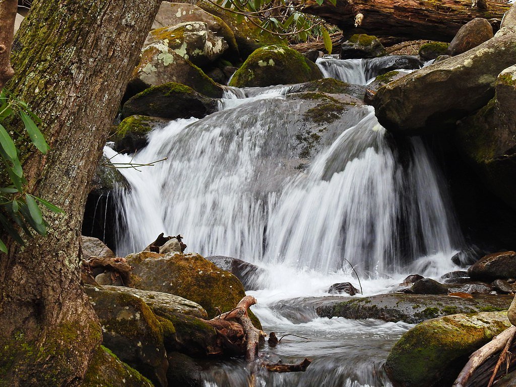
Rainbow Falls
By Armen Suny · Last verified Oct 2026
LiDAR & 3D terrainBefore you go
We found no published public access for this waterfall. Confirm who owns the land and get permission before visiting.
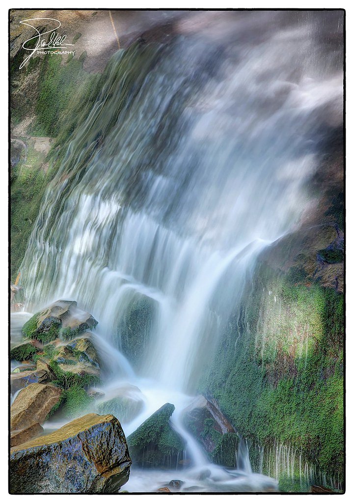
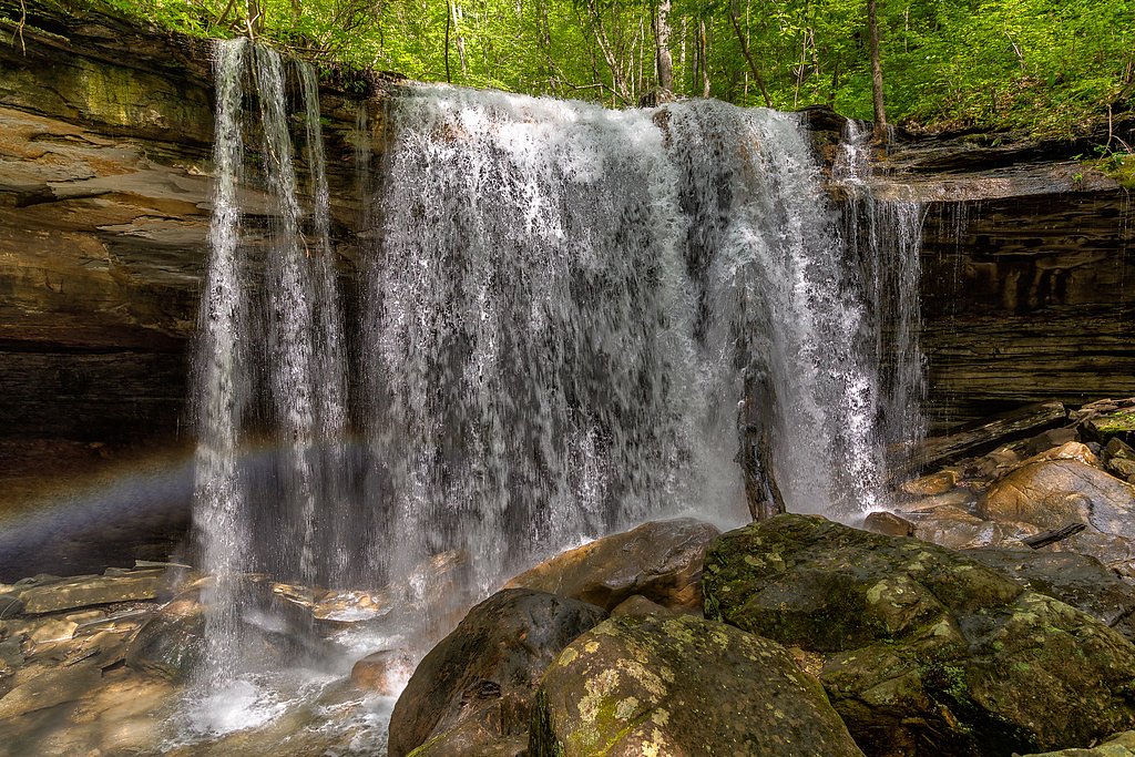
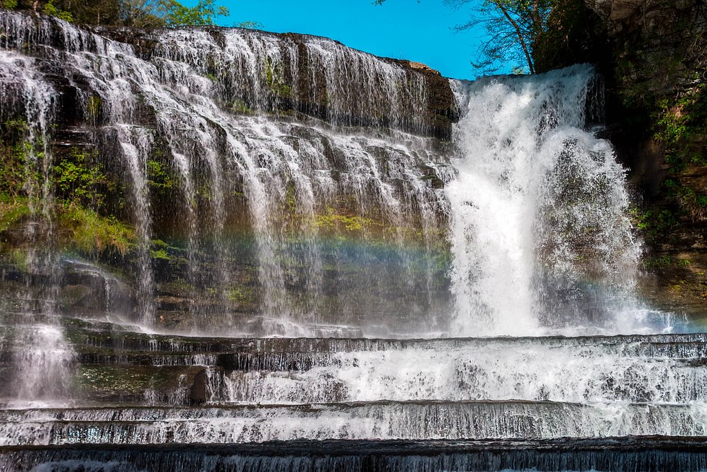
Photo Credits (5)
About Rainbow Falls
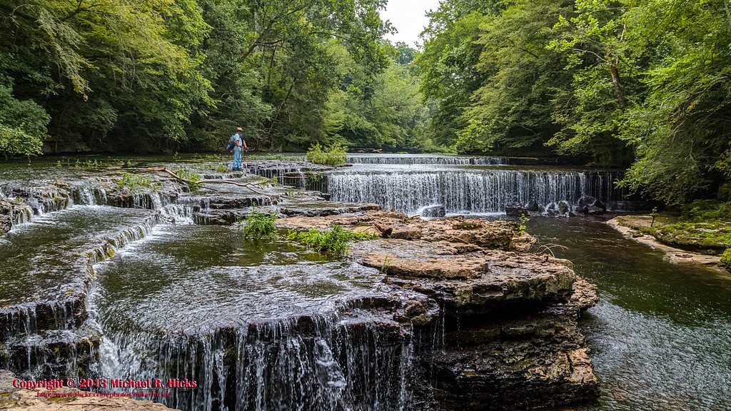
This Rainbow Falls is a named waterfall in Coffee County, Tennessee, about 3 miles west of Manchester near Hale Branch in the Duck River area. It is not the Rainbow Falls in Great Smoky Mountains National Park. We could not find a reliable source describing this waterfall, its height, or public access to it.
Trail & Hike Details
Frequently Asked Questions
🐶 Are Dogs Allowed at Rainbow Falls?
❌ Dogs are not allowed
Are There Any Fees or Permits Required?
🆖 No fees required
🏊 Is There Swimming at Rainbow Falls?
❌ Swimming is not allowed
When to Visit
Seasonal Access
The best time to visit is Spring, Summer, and Fall. Winter access may be limited.
Current Water Conditions
These readings come from the USGS gauge on Duck River, 1.7 miles away, not on Rainbow Falls's own stream. Use them as a sign of whether the area is running wet or dry.
13 ft³/s
Current discharge — how much water is flowing
Much lower than usual for this time of year
Based on 77 years of record
-0.10 ft
Water depth at gauge
7-Day Discharge Trend
What does this mean for your visit?
Flow is well below normal for this time of year, so the waterfall may be a trickle.
About This Gauge
7-Day Flow Outlook
Based on the USGS gauge DUCK RIVER BELOW MANCHESTER, TN (3 km away).
Today
Moderate
13 cfs
8/10Tomorrow
Moderate
14 cfs
8/10Sat
Moderate
13 cfs
8/10Sun
Moderate
14 cfs
8/10Mon
Moderate
13 cfs
8/10Tue
Moderate
13 cfs
8/10Wed
Moderate
14 cfs
8/10Best window: Today — moderate flow, sunny (trip score 8/10).
Best time of year: this gauge typically runs highest from early February to late March, peaking in March.
How we calculate this
This is a transparent outlook, not a precise forecast. We take the waterfall's current flow strength (how it ranks against its historical normal for today, from the nearest USGS stream gauge), carry that ranking forward along the gauge's seasonal curve, and nudge it for forecast rain. Confidence is highest for the next day or two and falls further out. Always check official conditions and your own judgment before visiting — high flows can be dangerous.
Know when to go.
Get a free email alert when waterfalls near Manchester hit peak flow. We only send when conditions are worth the trip — no weekly newsletters, no spam.
Weather Forecast
The Terrain, Seen by LiDAR
Aircraft-mounted lasers measured this ground to within inches. Trees and buildings are digitally stripped away, leaving the bare shape of the land the water has carved.
Through the falls the surface drops roughly 125 feet over a short, steep run of tiers. Elevation at the pin is about 1,018 feet.
The ground changes about 49 feet in the 500 feet above the falls and 107 feet in the 500 feet below. The falls face southwest and glow in afternoon and evening light.
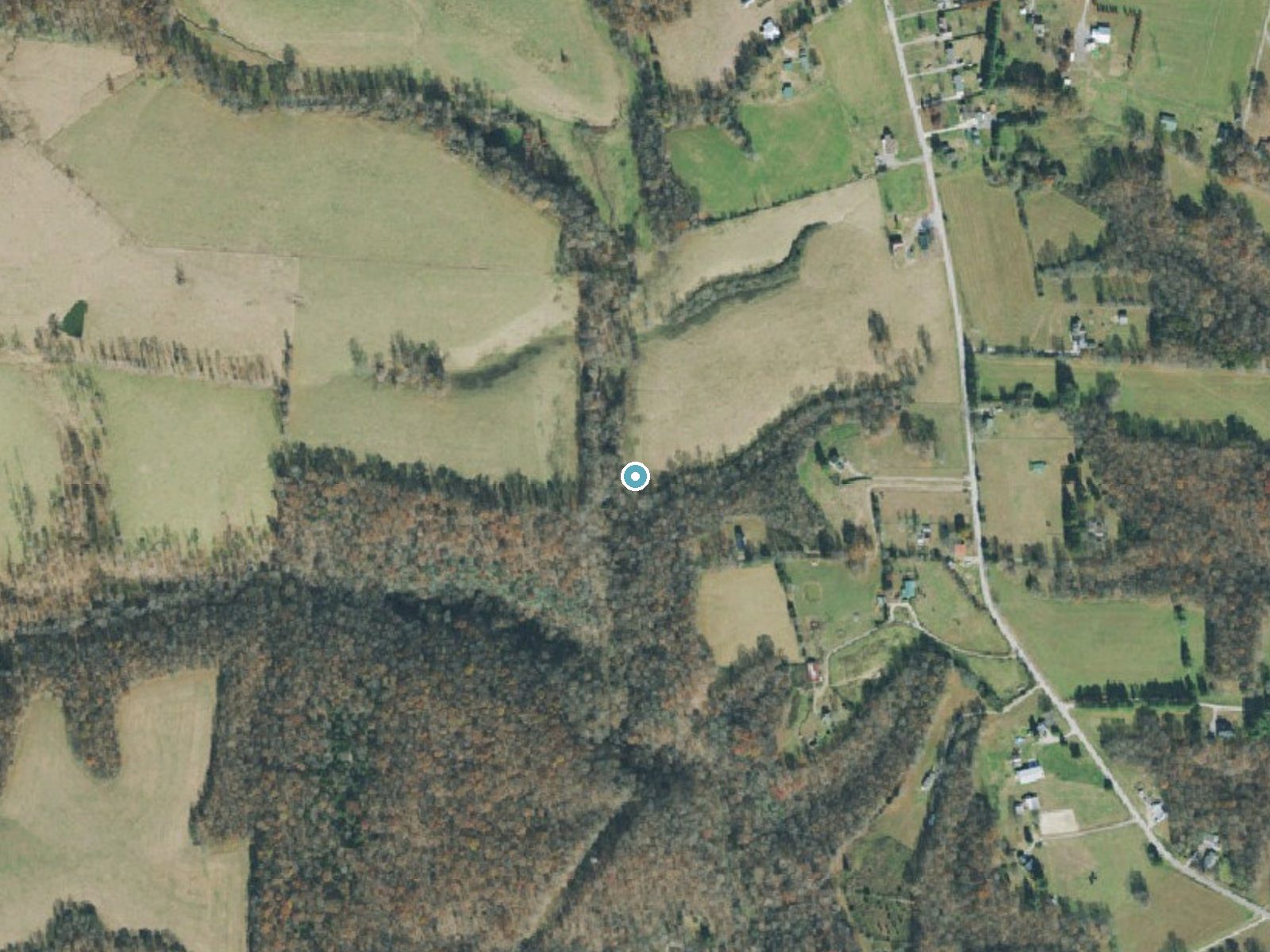

Drag to compare. The dot marks the waterfall. The frame is about a mile across.
- Ground elevation
- 1,018 feet
- Measured by 1-meter lidar
- Drop at the falls
- About 125 feet
- Change in ground height within ~250 feet of the falls
- Faces
- Southwest
- Glows in afternoon and evening light.
A slice through the lidar ground surface, from above the falls to downstream (heading southwest).
Elevation data: USGS 3D Elevation Program. Aerial imagery: USGS The National Map. Public domain.
Location & Access
Elevation
1,020 feet above sea level
Coordinates
35.483132° N, -86.147768° W
Visitor Tips & Gear
Where to Stay

Comfort Suites Manchester near Arnold AFB

La Quinta Inn & Suites by Wyndham Manchester - Arnold AFB

Best Western Manchester

Microtel Inn & Suites by Wyndham Manchester - Newly Renovated
Browse vacation cabins and private rentals nearby
Unique outdoor stays — tents, yurts, and treehouses
Rent a campervan or RV for your waterfall road trip
Some links are affiliate links. We may earn a commission at no extra cost to you.
Additional Information
Nearby Attractions
Old Stone Fort State Archaeological Park in Manchester, a few miles east, has trails along the Duck and Little Duck rivers past several waterfalls.
Cities near Rainbow Falls
Nearby Waterfalls
 LiDAR
LiDAR
Other waterfalls named Rainbow Falls
31 other waterfalls share this name across the U.S.
Writing about Rainbow Falls? Embed this waterfall on your site for free.