Rainbow Falls
By Armen Suny · Last verified Sep 2026
LiDAR & 3D terrain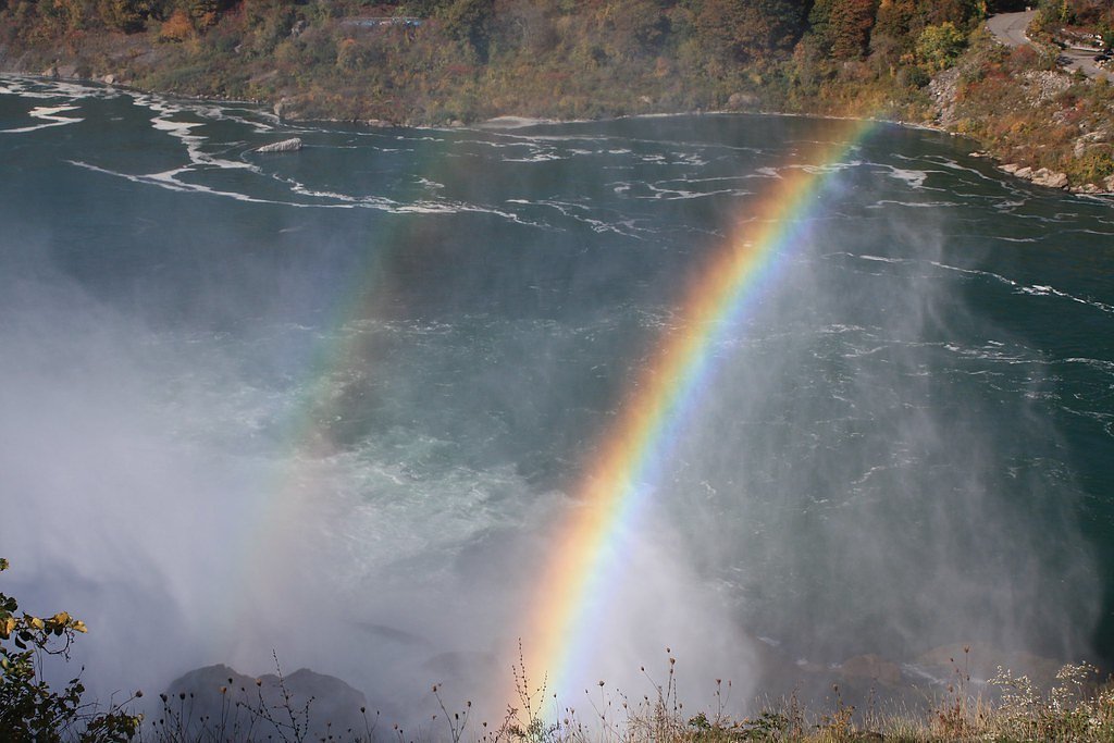
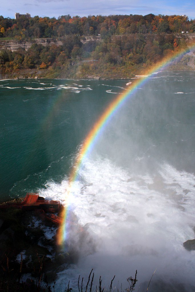
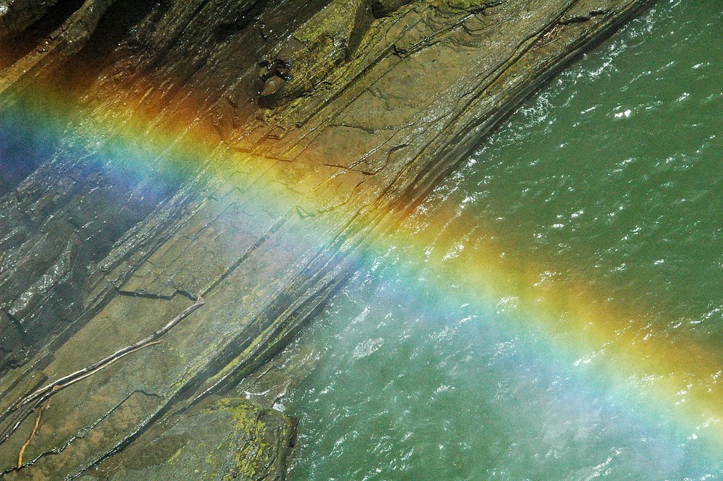
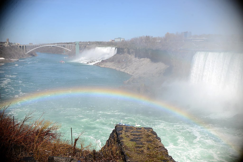
Photo Credits (5)
Difficulty
Easy
About Rainbow Falls
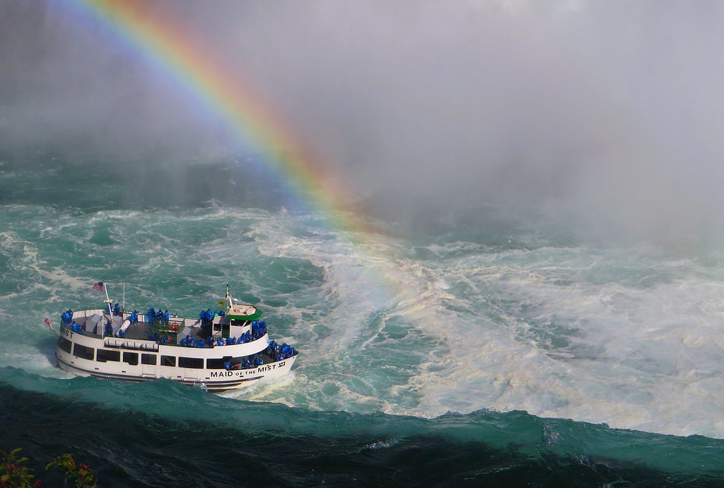
Rainbow Falls is a picturesque waterfall located in the Ausable Chasm area of New York. It is known for its stunning cascades and the vibrant rainbows that often appear in the mist on sunny days.
The Setting
Rainbow Falls sits at 1,076 feet along the Raquette River, in the foothills of New York.
Trail & Hike Details
Trail Description
The trail to Rainbow Falls is relatively short and easy, with minimal elevation gain. Visitors can view the falls from designated viewpoints near the Ausable Chasm Bridge or explore additional trails within the chasm for closer views.
What to Expect
Expect a stunning waterfall with cascading flows, especially after rainfall. The mist from the falls often creates rainbows on sunny days, making it a popular spot for photography.
Accessibility
The trail is short and relatively flat, but the surface may be uneven. Contact the managing agency for accessibility details.
Frequently Asked Questions
🐶 Are Dogs Allowed at Rainbow Falls?
❌ Dogs are not allowed
Are There Any Fees or Permits Required?
🤑 Fee: $0.00
🏊 Is There Swimming at Rainbow Falls?
❌ Swimming is not allowed
When to Visit
Spring and early summer are ideal for visiting Rainbow Falls, as the water flow is typically strongest during these seasons.
Seasonal Access
The best time to visit is Spring, Summer, and Fall. Winter access may be limited.
Safety Information
Stay on designated trails and viewing platforms. The rocks near the falls can be slippery, and the currents are strong. Exercise caution, especially with children.
Current Water Conditions
1,090 ft³/s
Current discharge — how much water is flowing
About average for this time of year
Based on 65 years of record
3.91 ft
Water depth at gauge
7-Day Discharge Trend
What does this mean for your visit?
Flow is about average for this time of year.
About This Gauge
7-Day Flow Outlook
Based on the USGS gauge RAQUETTE RIVER AT SOUTH COLTON NY (5 km away).
Today
Strong
1177 cfs
8/10Tomorrow
Strong
1068 cfs
10/10Tue
Strong
1045 cfs
10/10Wed
Strong
946 cfs
10/10Thu
Strong
1129 cfs
8/10Fri
Strong
1124 cfs
10/10Sat
Strong
1168 cfs
8/10Best window: Tomorrow — strong flow, partly sunny (trip score 10/10).
Best time of year: this gauge typically runs highest from early March to early June, peaking in April.
How we calculate this
This is a transparent outlook, not a precise forecast. We take the waterfall's current flow strength (how it ranks against its historical normal for today, from the nearest USGS stream gauge), carry that ranking forward along the gauge's seasonal curve, and nudge it for forecast rain. Confidence is highest for the next day or two and falls further out. Always check official conditions and your own judgment before visiting — high flows can be dangerous.
Know when to go.
Get a free email alert when waterfalls near Hannawa Falls hit peak flow. We only send when conditions are worth the trip — no weekly newsletters, no spam.
Weather Forecast
The Terrain, Seen by LiDAR
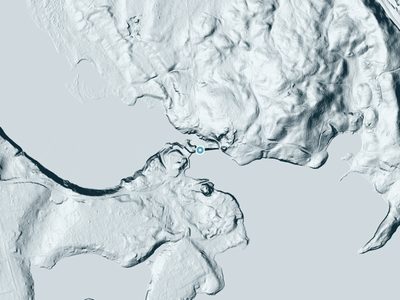
Aircraft-mounted lasers measured this ground to within inches. Trees and buildings are digitally stripped away, leaving the bare shape of the land the water has carved.
The bare-earth surface loses about 38 feet through the falls, but gradually, the profile of a cascade rather than a plunge. The ground at the falls is roughly 1,077 feet above sea level.
The ground changes about 42 feet in the 500 feet above the falls and 11 feet in the 500 feet below. Facing north, the falls stay mostly shaded, with soft, even light all day.
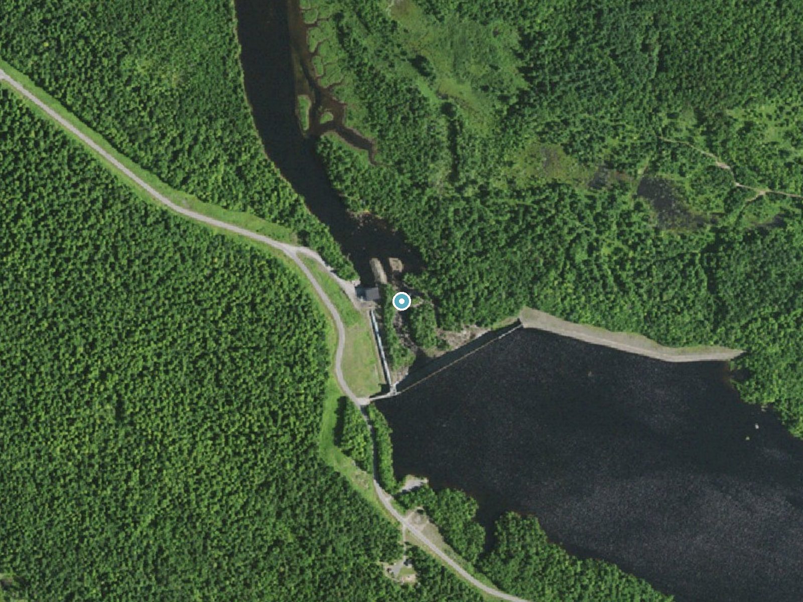
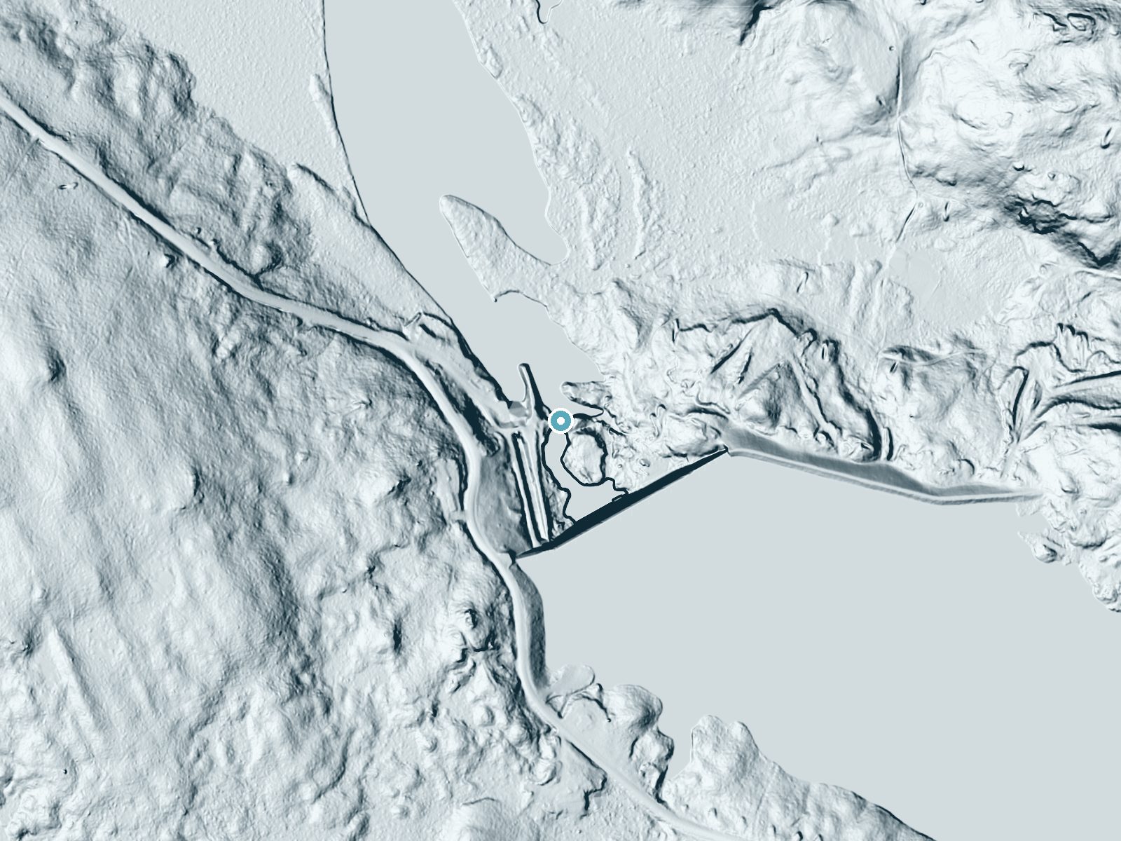
Drag to compare. The dot marks the waterfall. The frame is about a mile across.
- Ground elevation
- 1,077 feet
- Measured by 1-meter lidar
- Drop at the falls
- About 38 feet
- Change in ground height within ~250 feet of the falls
- Faces
- North
- Mostly shaded, so the light stays soft and even all day.
A slice through the lidar ground surface, from above the falls to downstream (heading north).
Elevation data: USGS 3D Elevation Program. Aerial imagery: USGS The National Map. Public domain.
Location & Access
Getting There
Rainbow Falls is located near the Ausable Chasm in the Adirondack region of New York. It can be accessed via Route 9, and the falls are visible near the Ausable Chasm Bridge.
Get Directions on Google MapsParking
Parking is available at the Ausable Chasm Visitor Center, which provides access to the falls and other attractions in the area.
Elevation
1,076 feet above sea level
Coordinates
44.517841° N, -74.821581° W
Visitor Tips & Gear
Visit early in the morning or on weekdays to avoid crowds. Wear sturdy shoes if you plan to explore additional trails in the Ausable Chasm area.
Where to Stay

Camp Lake Bear

Fairfield Inn & Suites by Marriott Canton

White Pine Camp

Best Western Potsdam University Park Inn
Browse vacation cabins and private rentals nearby
Unique outdoor stays — tents, yurts, and treehouses
Rent a campervan or RV for your waterfall road trip
Some links are affiliate links. We may earn a commission at no extra cost to you.
Additional Information
Nearby Attractions
Ausable Chasm, High Falls Gorge, Lake Placid, Whiteface Mountain
Wildlife
The area is home to various bird species, deer, and other Adirondack wildlife.
Cities near Rainbow Falls
Nearby Waterfalls

 LiDAR
LiDAR
Other waterfalls named Rainbow Falls
31 other waterfalls share this name across the U.S.
Writing about Rainbow Falls? Embed this waterfall on your site for free.