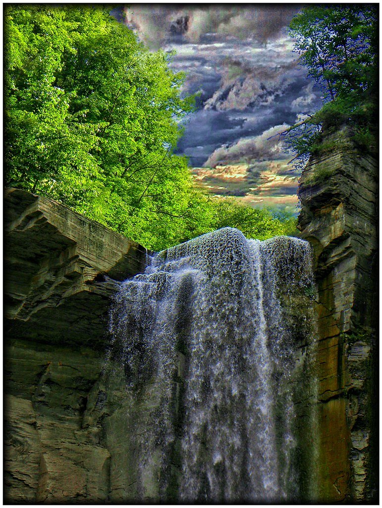
Buttermilk Falls
New York • 165 ft
By Armen Suny · Last verified Mar 2026
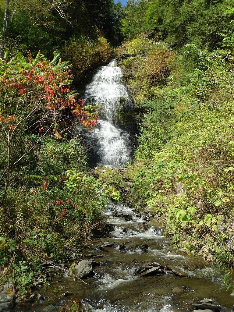
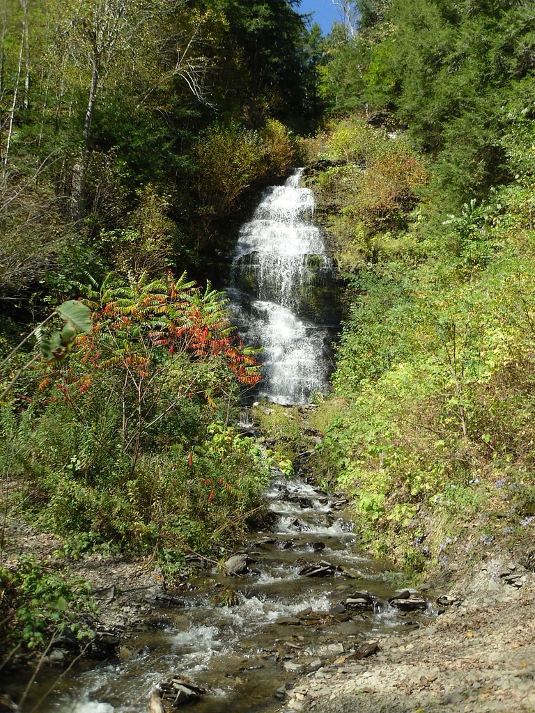
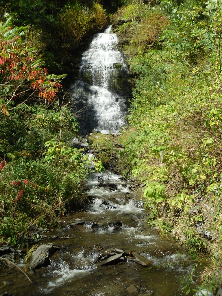
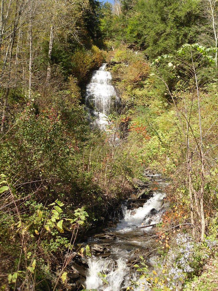
Photo Credits (5)
Difficulty
Moderate
Trail Length
2.4 miles
Trail Type
Out And Back
Elevation Gain
350 ft
About Buttermilk Falls
Tucked into Buttermilk Falls State Park just south of Ithaca, Buttermilk Falls tumbles down a steep, stepped gorge to a combined drop of about 165 feet, creating dramatic cascades and quiet plunge pools that shine after spring snowmelt or heavy rains. The falls’ layered bedrock and surrounding hemlocks make for striking photo opportunities and a refreshing place to linger on warm days. Visitors will recognize the classic series of rocky steps and chutes that give the falls their name and appeal. The main hiking access is the Gorge Trail, which brings you right to the base of the falls and continues upstream through narrow viewpoints and additional small cascades and natural pools. The primary access route is a 2.4-mile out-and-back with roughly 350 feet of elevation gain and is generally rated moderate — popular enough to feel social but scenic enough to feel wild.
The Setting
Buttermilk Falls sits at 932 feet along the Owego Creek, in the foothills of New York. At 165 feet, it is among the taller waterfalls in New York.
Height: 165 feet
Trail & Hike Details
The Approach
The moderate 2.4-mile out-and-back trail gains 350 feet of elevation on the way to the falls.
Trail Description
Out-and-back 2.4 miles, ~350 ft elevation gain, difficulty: moderate. The trail is well-maintained and follows the steep-walled Buttermilk Gorge, featuring rocky steps and short flights where the path negotiates the bedrock. The route leads directly to the base of the 165-foot cascade; beyond the main falls the Gorge Trail continues upstream for hikers seeking more viewpoints and additional cascades and pools.
What to Expect
The falls plunge 165 feet. Swimming is permitted. Dogs are welcome.
Accessibility
The trail is not wheelchair accessible. Uneven terrain and elevation changes require steady footing.
Frequently Asked Questions
🐶 Are Dogs Allowed at Buttermilk Falls?
✅ Dogs are allowed
Are There Any Fees or Permits Required?
🤑 Fee: $9.00
🏊 Is There Swimming at Buttermilk Falls?
✅ Swimming is allowed
When to Visit
Spring and early summer are ideal for visiting, as the waterfall is at its fullest due to snowmelt and rainfall. Fall offers beautiful foliage, while summer provides opportunities for picnicking and exploring the park.
Seasonal Access
The best time to visit is Spring, Summer, and Fall. Winter access may be limited.
Safety Information
The rocks near the falls can be slippery, especially after rain. Stay on marked trails and avoid climbing on the rocks. Swimming is only permitted in designated areas when lifeguards are present.
Current Water Conditions
50 ft³/s
Current discharge — how much water is flowing
About average for this time of year
Based on 56 years of record
0.75 ft
Water depth at gauge
7-Day Discharge Trend
What does this mean for your visit?
Flow is about average for this time of year.
About This Gauge
7-Day Flow Outlook
Based on the USGS gauge OWEGO CREEK NEAR OWEGO NY (1 km away).
Today
Low
57 cfs
3/10Tomorrow
Barely Flowing
53 cfs
5/10Fri
Low
55 cfs
3/10Sat
Low
51 cfs
3/10Sun
Low
52 cfs
3/10Mon
Low
51 cfs
4/10Tue
Low
50 cfs
3/10Best window: Tomorrow — barely flowing flow, sunny (trip score 5/10).
Best time of year: this gauge typically runs highest from late February to mid May, peaking in April.
How we calculate this
This is a transparent outlook, not a precise forecast. We take the waterfall's current flow strength (how it ranks against its historical normal for today, from the nearest USGS stream gauge), carry that ranking forward along the gauge's seasonal curve, and nudge it for forecast rain. Confidence is highest for the next day or two and falls further out. Always check official conditions and your own judgment before visiting — high flows can be dangerous.
Know when to go.
Get a free email alert when waterfalls near Apalachin hit peak flow. We only send when conditions are worth the trip — no weekly newsletters, no spam.
Weather Forecast
Location & Access
Getting There
Buttermilk Falls is located in Buttermilk Falls State Park, just south of Ithaca, New York. The main entrance is off Route 13, and the falls are easily accessible from the parking area.
Get Directions on Google MapsParking
There is a designated parking lot near the base of the falls, with ample space for visitors. Parking fees may apply during peak seasons.
Elevation
932 feet above sea level
Coordinates
42.131719° N, -76.287875° W
Visitor Tips & Gear
Arrive early during peak seasons to secure parking. Wear sturdy shoes if you plan to explore beyond the base of the falls, as the Gorge Trail can be slippery. Bring a camera to capture the scenic beauty.
As an Amazon Associate, we earn from qualifying purchases.
With 2.4 miles and 350 ft of elevation gain, sturdy boots and trekking poles will help on this moderate trail. Sun exposure on the trail makes good sun protection a must in summer.

Polarized Sunglasses (Knockaround)
Cuts glare off the water so you actually see the falls — and your photos turn out better too.

Columbia Watertight II Rain Jacket
Packs into its own pocket, seam-sealed, and keeps you dry from spray and surprise rain.

Earth Pak Waterproof Dry Bag
Keeps your phone and gear dry when waterfall mist soaks everything else.

Waterproof Phone Pouch (AiRunTech)
Cheap insurance — take photos right next to the falls without killing your phone.

Timberland Euro Sprint Mid Waterproof
Trusted waterproof boot with premium leather and grippy rubber sole — reliable on rocky, wet trails.

TrailBuddy Trekking Poles
Lightweight aluminum, cork grips, and flip-locks that actually hold — a best-seller for good reason.
Where to Stay

Hampton Inn Owego

DEEPWELL MOTEL

Kiteville Owego

Cozy Retreat w/ Sunroom Near Binghamton University
Browse vacation cabins and private rentals nearby
Unique outdoor stays — tents, yurts, and treehouses
Rent a campervan or RV for your waterfall road trip
Some links are affiliate links. We may earn a commission at no extra cost to you.
Additional Information
Nearby Attractions
Other nearby attractions include Taughannock Falls State Park, Robert H. Treman State Park, and the Finger Lakes wineries.
Wildlife
The park is home to various bird species, deer, and small mammals. Visitors may also spot fish in the streams.
Cities near Buttermilk Falls
Other waterfalls named Buttermilk Falls
22 other waterfalls share this name across the U.S.
-
01
Claverack-Red Mills
165 ftCurrent flow 156 ft³/s -
02
Cohoes
165 ftCurrent flow 2,070 ft³/s -
03
East Worcester
165 ftCurrent flow 22 ft³/s -
04
Fultonville
165 ftCurrent flow 2,490 ft³/s -
05
Gloversville
165 ftCurrent flow 2,490 ft³/s -
06
Greenwood Lake
165 ftCurrent flow 110 ft³/s -
07
Highland Falls
Current flow 6 ft³/s -
08
Hudson Falls
165 ftCurrent flow 41 ft³/s -
09
Keeseville
165 ftCurrent flow 261 ft³/s -
10
Linwood
165 ftCurrent flow 118 ft³/s -
11
Palenville
165 ftCurrent flow 1 ft³/s -
12
Speculator
165 ftCurrent flow 260 ft³/s -
13
Wampsville
165 ftCurrent flow 42 ft³/s
Writing about Buttermilk Falls? Embed this waterfall on your site for free.