Photo Credits (5)
Difficulty
Moderate
Trail Length
2.4 miles
Trail Type
Out And Back
Elevation Gain
350 ft
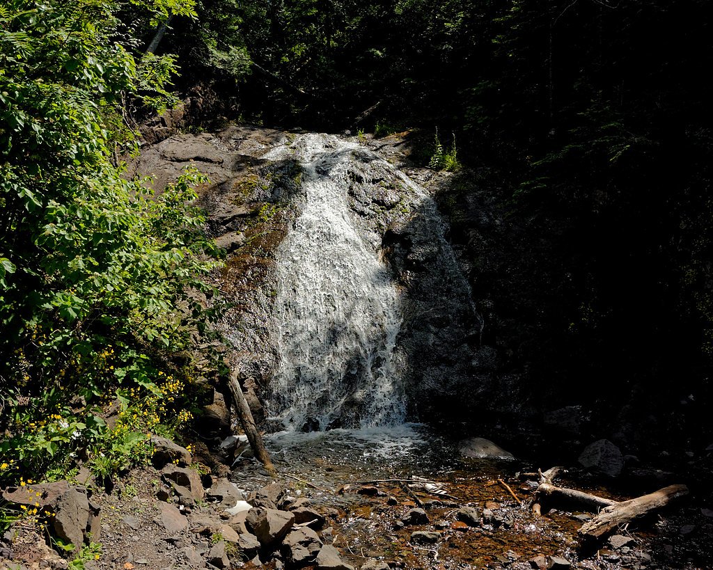
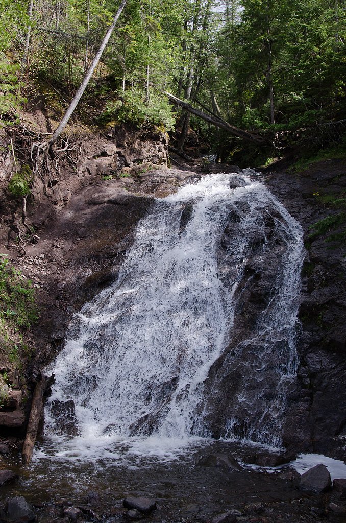
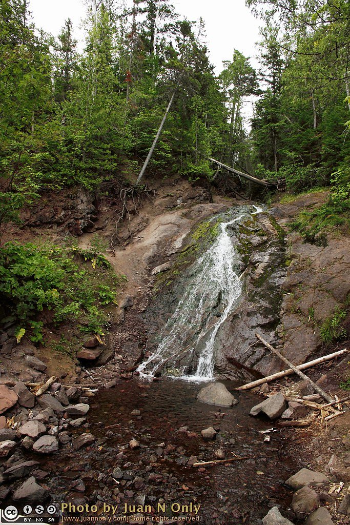
About Jacobs Falls
Jacob's Falls is a small but picturesque waterfall located along M-26 in Michigan's Keweenaw Peninsula. It is easily accessible and known for its cascading flow over rocky terrain, making it a popular stop for travelers exploring the area.
The Setting
Jacobs Falls sits at 715 feet within Isle Royale National Park, in the foothills of Michigan. The falls drop 20 feet.
Height: 20 feet
Nearby Falls Worth Visiting
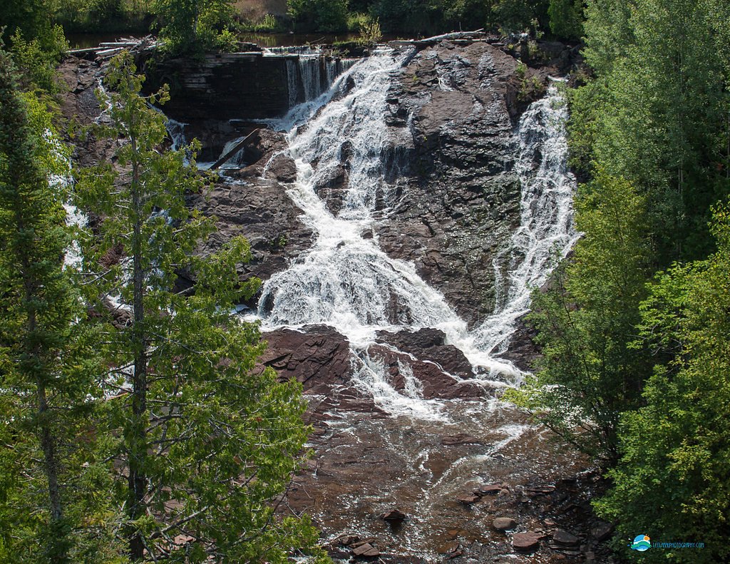
Upper Falls (50 ft) lies 11.5 miles to the southwest. Also nearby: Eagle River Falls (40 ft, 3.0 mi).
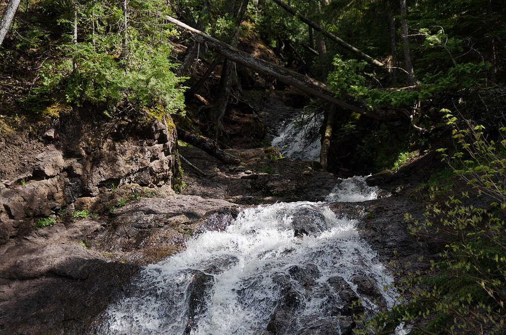
Trail & Hike Details
The Approach
The moderate 2.4-mile out-and-back trail gains 350 feet of elevation on the way to the falls.
Trail Description
No hiking is required to view Jacob's Falls as it is located directly next to the road. Visitors can enjoy the view from the roadside or explore the immediate area for a closer look.
What to Expect
The falls drop a gentle 20 feet. Dogs are welcome.
Accessibility
The trail is not wheelchair accessible. Uneven terrain and elevation changes require steady footing.
Frequently Asked Questions
🐶 Are Dogs Allowed at Jacobs Falls?
✅ Dogs are allowed
Are There Any Fees or Permits Required?
🆖 No fees required
🏊 Is There Swimming at Jacobs Falls?
❌ Swimming is not allowed
When to Visit
Spring and fall are ideal for visiting due to higher water flow and scenic surroundings.
Seasonal Access
The best time to visit is Spring, Summer, and Fall. Winter access may be limited. Check with Isle Royale National Park for current conditions.
Safety Information
Be cautious when parking along the roadside, as traffic on M-26 can be fast-moving. Avoid climbing on wet or slippery rocks near the falls.
Know when to go.
Get a free email alert when waterfalls near Eagle River hit peak flow. We only send when conditions are worth the trip — no weekly newsletters, no spam.
Weather Forecast
Location & Access
Getting There
Jacob's Falls is located directly off M-26, approximately 3 miles east of Eagle River, Michigan. The waterfall is visible from the road, making it an easy stop for travelers.
Get Directions on Google MapsParking
There is a small pull-off area along M-26 where visitors can park to view the falls.
Elevation
715 feet above sea level
Coordinates
47.427778° N, -88.236111° W
Visitor Tips & Gear
Visit during the spring or after rainfall for the best water flow. Be cautious when pulling off the road to park, as the area can be busy with passing traffic.
As an Amazon Associate, we earn from qualifying purchases.
With 2.4 miles and 350 ft of elevation gain, sturdy boots and trekking poles will help on this moderate trail. Sun exposure on the trail makes good sun protection a must in summer.

Polarized Sunglasses (Knockaround)
Cuts glare off the water so you actually see the falls — and your photos turn out better too.

Columbia Watertight II Rain Jacket
Packs into its own pocket, seam-sealed, and keeps you dry from spray and surprise rain.

Earth Pak Waterproof Dry Bag
Keeps your phone and gear dry when waterfall mist soaks everything else.

Waterproof Phone Pouch (AiRunTech)
Cheap insurance — take photos right next to the falls without killing your phone.

Timberland Euro Sprint Mid Waterproof
Trusted waterproof boot with premium leather and grippy rubber sole — reliable on rocky, wet trails.

TrailBuddy Trekking Poles
Lightweight aluminum, cork grips, and flip-locks that actually hold — a best-seller for good reason.
Where to Stay

AmericInn by Wyndham Calumet

Magnuson Copper Crown

Quality Inn & Suites Houghton Downtown

Daniell Manor
Browse vacation cabins and private rentals nearby
Unique outdoor stays — tents, yurts, and treehouses
Rent a campervan or RV for your waterfall road trip
Some links are affiliate links. We may earn a commission at no extra cost to you.
Additional Information
Nearby Attractions
Nearby attractions include the Jampot, a bakery run by monks, and Eagle River Falls, another scenic waterfall in the area.
Wildlife
The area around Jacob's Falls may feature common wildlife such as birds, squirrels, and deer.
Cities near Jacobs Falls
Nearby Waterfalls

Writing about Jacobs Falls? Embed this waterfall on your site for free.