Cascade Falls
By Armen Suny · Last verified Sep 2026
LiDAR & 3D terrain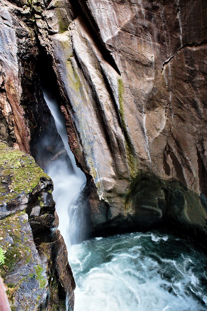
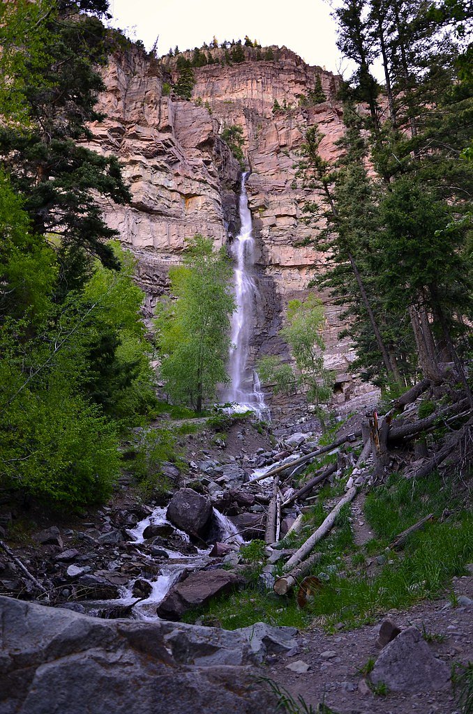
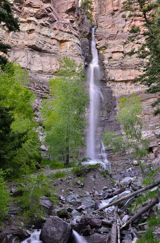
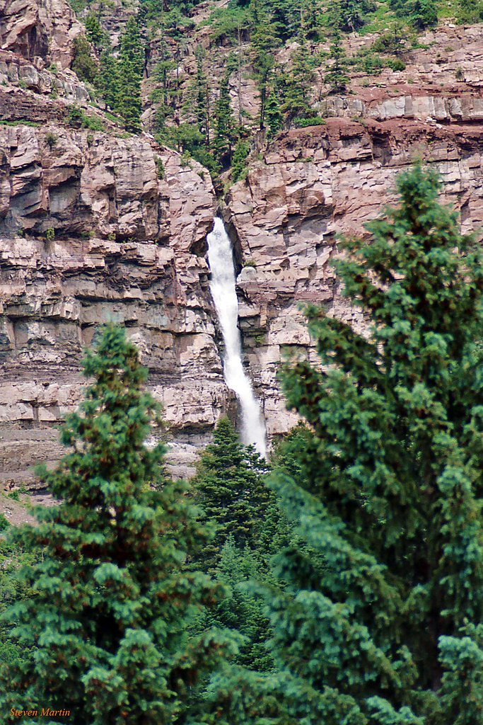

Photo Credits (5)
Difficulty
Easy
Trail Length
0.4 miles
Trail Type
Out And Back
Elevation Gain
100 ft
About Cascade Falls
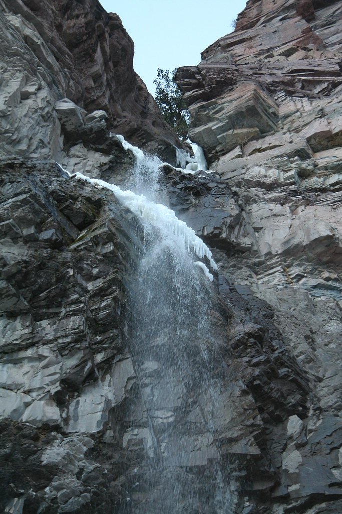
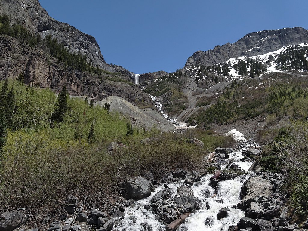
Cascade Falls is a striking, easy-to-reach waterfall located near Ouray, Colorado, nestled within the Uncompahgre National Forest and managed by the U.S. Forest Service. The falls tumble over a steep rock face and put out a refreshing mist that makes this short outing popular with photographers, families, and anyone looking for a quick nature stop. The route to the viewpoint follows the USFS-designated CASCADE PORTLAND TIE (Trail #6213.1B), so you’re hiking on National Forest land with the protections and access that entails. The hike itself is brief—about 0.4 miles out-and-back with roughly 100 feet of elevation gain—so it’s easy to combine with other nearby attractions or an overnight stay. Amphitheater Campground lies just 0.47 km away, offering a convenient place to camp if you want to turn the visit into a longer outing. Expect native rock-and-soil footing and a mix of cliffside and riparian scenery as you approach the base of the falls.
The Setting
Cascade Falls sits at 8,373 feet within Uncompahgre National Forest, fed by the Uncompahgre River, in the high alpine of Colorado.
Nearby Falls Worth Visiting
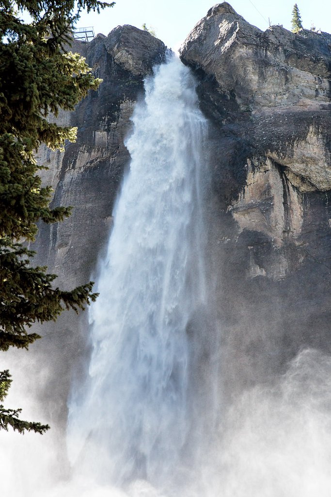
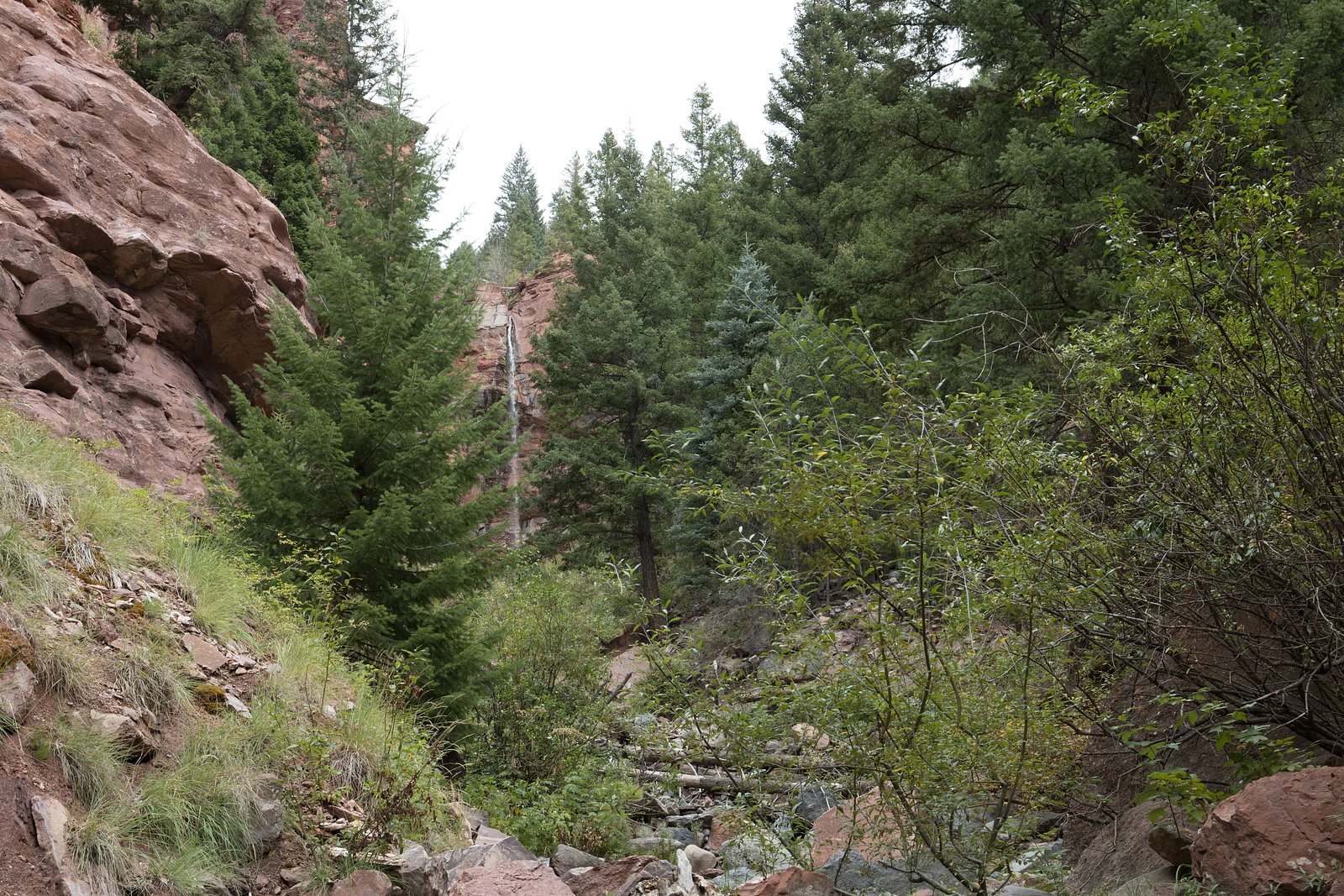
Bridal Veil Falls, the tallest waterfall in Colorado at 365 feet, lies 9.4 miles to the southwest. Also nearby: Cornet Falls (80 ft, 9.8 mi).
Trail & Hike Details
The Approach
The easy hike follows Cascade Portland Tie (#6213.1B), a 0.4-mile out-and-back trail over natural surface. Expect 100 feet of elevation gain with grades of 12-20%. The trail is developed (Class 3).
USFS Trail
CASCADE PORTLAND TIE #6213.1B
Trail Class
Developed
Surface
Avg Grade
USFS Segment
0.08 miTrail Description
Out-and-back, approximately 0.4 miles total with about 100 ft elevation gain; rated easy. This is USFS Trail CASCADE PORTLAND TIE (Trail #6213.1B). The trail surface is native material, with typical grades of 12–20% and a USFS class rating of 3, so plan for short steeper or rockier sections despite the short distance. Trail is best suited for hikers comfortable on uneven natural tread; campground access (Amphitheater, 0.47 km) is very close for overnight options.
What to Expect
Dogs are welcome.
Accessibility
The trail is short and relatively flat, but the surface may be uneven. Contact the managing agency for accessibility details.
Frequently Asked Questions
🐶 Are Dogs Allowed at Cascade Falls?
✅ Dogs are allowed
Are There Any Fees or Permits Required?
🆖 No fees required
🏊 Is There Swimming at Cascade Falls?
❌ Swimming is not allowed
When to Visit
Spring and early summer are the best times to visit, as the waterfall is typically at its fullest due to snowmelt. Fall offers beautiful foliage, while winter provides a unique view of the frozen falls.
Seasonal Access
The best time to visit is Spring, Summer, and Fall. Access roads and trails may close during winter due to snow. Check with Uncompahgre National Forest for seasonal road closures.
Safety Information
The rocks near the waterfall can be slippery, especially when wet. Exercise caution and avoid climbing on the rocks. In winter, icy conditions may make the trail hazardous.
Current Water Conditions
139 ft³/s
Current discharge — how much water is flowing
Much higher than usual for this time of year
1.52 ft
Water depth at gauge
7-Day Discharge Trend
What does this mean for your visit?
The water is flowing much higher than usual, expect an impressive display.
About This Gauge
7-Day Flow Outlook
Based on the USGS gauge UNCOMPAHGRE RIVER NEAR OURAY, CO (3 km away).
Today
Roaring
159 cfs
6/10Tomorrow
Roaring
149 cfs
9/10Sun
Roaring
139 cfs
9/10Mon
Roaring
150 cfs
6/10Tue
Roaring
164 cfs
6/10Wed
Roaring
168 cfs
6/10Thu
Roaring
149 cfs
9/10Best window: Tomorrow — roaring flow, sunny (trip score 9/10).
How we calculate this
This is a transparent outlook, not a precise forecast. We take the waterfall's current flow strength (how it ranks against its historical normal for today, from the nearest USGS stream gauge), carry that ranking forward along the gauge's seasonal curve, and nudge it for forecast rain. Confidence is highest for the next day or two and falls further out. Always check official conditions and your own judgment before visiting — high flows can be dangerous.
Know when to go.
Get a free email alert when waterfalls near Ouray hit peak flow. We only send when conditions are worth the trip — no weekly newsletters, no spam.
Weather Forecast
The Terrain, Seen by LiDAR
Aircraft-mounted lasers measured this ground to within inches. Trees and buildings are digitally stripped away, leaving the bare shape of the land the water has carved.
1-meter lidar shows Cascade Falls dropping about 518 feet in a single sheer step. The brink sits at about 8,378 feet above sea level.
The whole reach is steep: about 584 feet of descent in the 500 feet above the falls and another 300 feet in the 500 feet below. The falls face south and sit in full sun for most of the day, best photographed early or late.
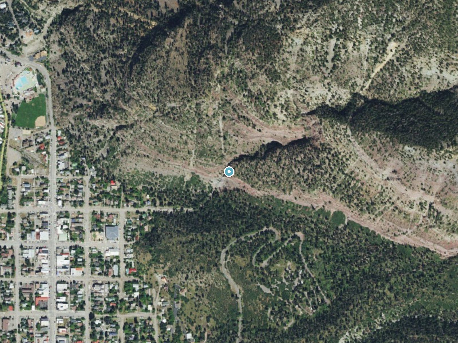
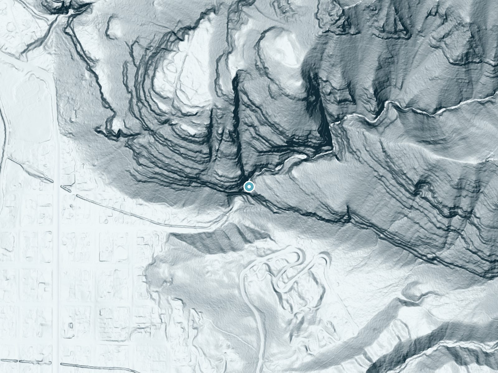
Drag to compare. The dot marks the waterfall. The frame is about a mile across.
- Ground elevation
- 8,378 feet
- Measured by 1-meter lidar
- Drop at the falls
- About 518 feet
- Change in ground height within ~250 feet of the falls
- Faces
- South
- Sunlit most of the day. Go early or late for softer light.
A slice through the lidar ground surface, from above the falls to downstream (heading south).
Elevation data: USGS 3D Elevation Program. Aerial imagery: USGS The National Map. Public domain.
Location & Access
Getting There
Cascade Falls is located just outside the town of Ouray, Colorado. From the center of Ouray, it is a short drive or walk to the trailhead, which is located at the end of 8th Avenue.
Get Directions on Google MapsParking
There is a small parking area near the trailhead at the end of 8th Avenue in Ouray. Parking may be limited during peak seasons.
Elevation
8,373 feet above sea level
Coordinates
38.026172° N, -107.664430° W
Land Management
Managed by USFS
Visitor Tips & Gear
Arrive early during peak seasons to secure parking. Bring a camera to capture the stunning views. Be cautious on wet or icy trails, especially in winter.
This trail sits at 8,373 ft — the air is noticeably thinner
High AltitudeSome visitors experience headaches, fatigue, or shortness of breath at this elevation. Take it slow, stay hydrated, and consider supplemental oxygen if you're coming from a lower altitude.
As an Amazon Associate, we earn from qualifying purchases.

Coppertone Sport SPF 50 Sunscreen
UV intensity jumps ~4% per 1,000 ft — at this elevation you can burn in half the time.

Sun Bum SPF 30 Lip Balm (3-Pack)
Lips have almost no natural UV protection and burn fast in thin, dry mountain air.

Liquid I.V. Electrolyte Packets
You lose moisture ~2x faster at elevation — electrolytes help you absorb water efficiently.

ROCKNIGHT Polarized UV400 Sunglasses
High-altitude glare off rock and water is intense — UV400 lenses block 99%+ of UVA/UVB.

Boost Oxygen 10L Canister (2-Pack)
Portable supplemental oxygen for quick relief from headaches and shortness of breath.

Altitude Rx OxyBoost Complex
Antioxidant formula designed to support your body's natural altitude acclimation.
As an Amazon Associate, we earn from qualifying purchases.
For this easy 0.4 miles trail, lightweight trail shoes and a water bottle are usually sufficient. Sun exposure on the trail makes good sun protection a must in summer.

Polarized Sunglasses (Knockaround)
Cuts glare off the water so you actually see the falls — and your photos turn out better too.

Columbia Watertight II Rain Jacket
Packs into its own pocket, seam-sealed, and keeps you dry from spray and surprise rain.

Earth Pak Waterproof Dry Bag
Keeps your phone and gear dry when waterfall mist soaks everything else.

Waterproof Phone Pouch (AiRunTech)
Cheap insurance — take photos right next to the falls without killing your phone.

JOBY GorillaPod Starter Kit
Wraps around railings and rocks for long-exposure waterfall shots — no flat surface needed.

Osprey Daylite Daypack
Light, organized, and just the right size for a day hike — fits water, snacks, and layers.
Where to Stay
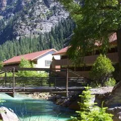
Hot Springs Inn

The Ouray Main Street Inn
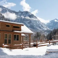
Ouray Riverside Resort - Inn & Cabins
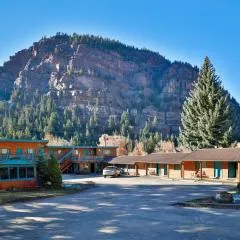
Ouray Inn
Browse vacation cabins and private rentals nearby
Unique outdoor stays — tents, yurts, and treehouses
Rent a campervan or RV for your waterfall road trip
Some links are affiliate links. We may earn a commission at no extra cost to you.
Nearby Campground
AMPHITHEATER (CO)
0.3 miles away · 35 sites
Overview Amphitheater Campground is located near the town of Ouray, Colo., at an elevation of 8,400 feet. Visitors enjoy the area for its beautiful scenery and great hiking and off-road trail opportunities.Recreation Many hiking trails are found in the immediate area, including the popular Upper Cascade Falls Trail, which begins at the campground. Baby Bath Tubs and Chief Ouray Mine trails can also be accessed from the same trailhead. The campground is a favorite among jeep and off-road enthusias
Book on Recreation.govNearby Hot Springs
Hot springs near Gunnison, Colorado
Ouray Hot Springs Pool
Ouray Hot Springs Pool sits at 7,860 feet elevation in downtown Ouray, positioned just 97 feet from Main Street for maximum con...
Ouray Hot Springs
Ouray Hot Springs surfaces at a scalding 156°F at 7,800 feet elevation, one of Colorado's hottest springs that demands careful ...
Orvis Hot Spring
Orvis Hot Spring emerges at 126°F with heavily mineralized water dominated by sulfate, requiring a short walk through Ouray Cou...
Chattanooga Hot Spring
Chattanooga Hot Spring emerges at just 49 degrees Fahrenheit at 10,720 feet elevation near Silverton in San Juan County. Locate...

Lemon Hot Spring
Lemon Hot Spring emerges at 91°F from Bureau of Land Management property in San Miguel County at 7,320 feet elevation, where fe...
Dunton Hot Spring
Dunton Hot Spring emerges at 108 degrees Fahrenheit in the remote San Juan Mountains at 8,850 feet, requiring a short walk thro...
Looking for a soak after your hike? Explore more hot springs near Gunnison, Colorado on SoakingSprings.
Explore Colorado springsAdditional Information
Nearby Attractions
Nearby attractions include the town of Ouray, known as the 'Switzerland of America,' the Ouray Hot Springs, and the Box Canyon Falls Park.
Wildlife
Visitors may encounter wildlife such as deer, birds, and small mammals in the area. Be cautious and maintain a safe distance from any animals.
Cities near Cascade Falls
Nearby Waterfalls
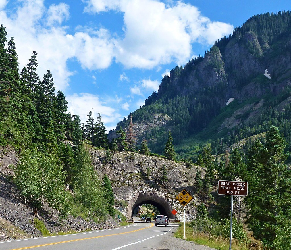
Other waterfalls named Cascade Falls
24 other waterfalls share this name across the U.S.
Writing about Cascade Falls? Embed this waterfall on your site for free.