
Photo Credits (5)
Difficulty
Easy
Trail Length
0.5 miles
Trail Type
Out And Back
About Cascade Falls
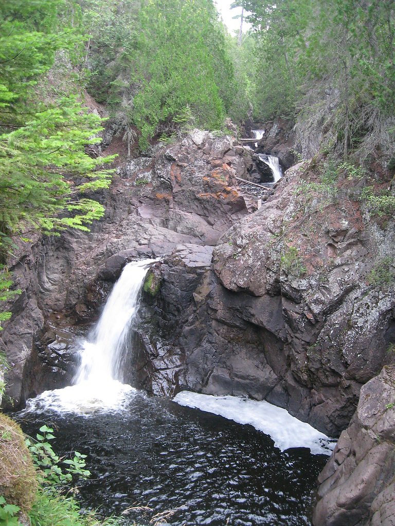
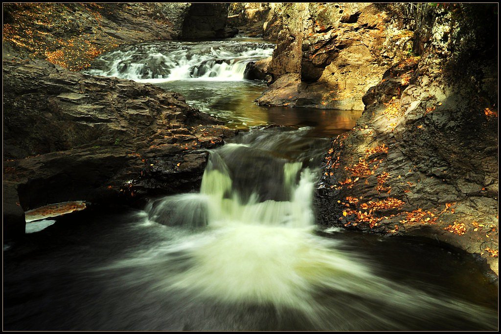
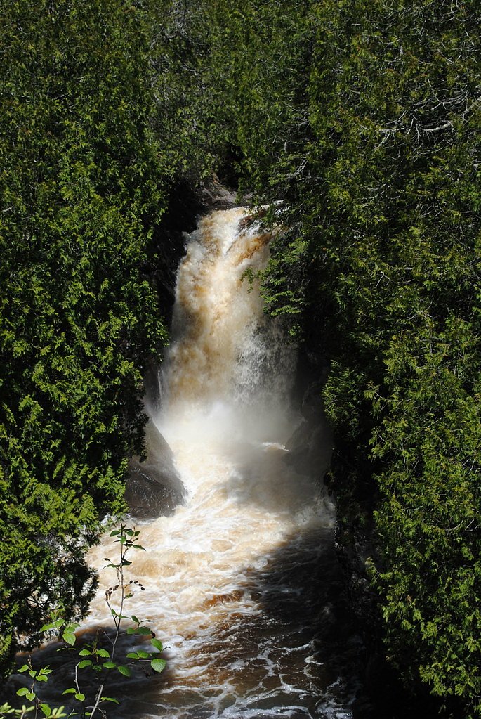
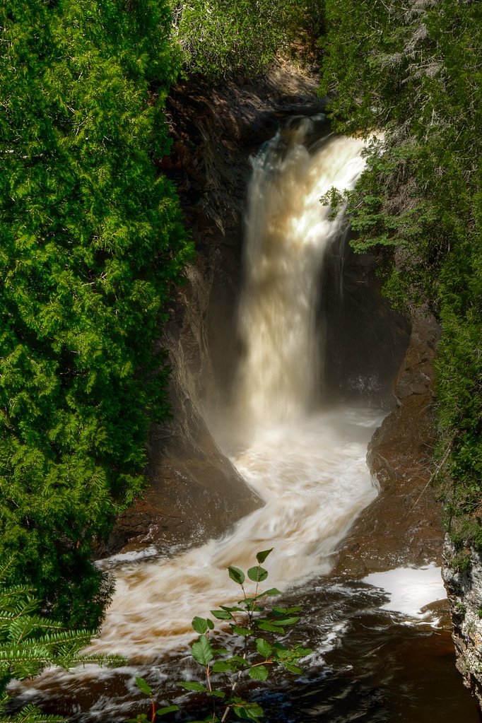
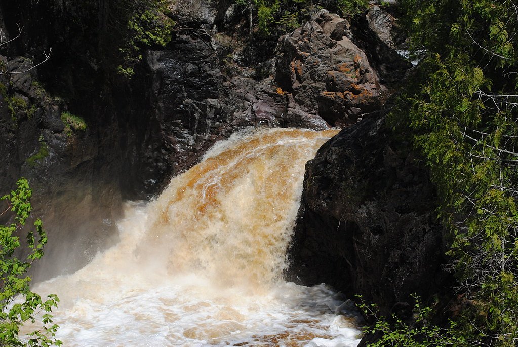
Cascade Falls is a picturesque waterfall located within Cascade River State Park in Minnesota. The falls are part of the Cascade River, which flows through a rugged gorge surrounded by lush forest. The waterfall is known for its dramatic cascades and scenic beauty, making it a popular destination for hikers and nature enthusiasts.
The Setting
Cascade Falls sits at 669 feet within Cascade River State Park, in the foothills of Minnesota.
Trail & Hike Details
Trail Description
The trail to Cascade Falls is a short and well-maintained path that follows the Cascade River. It features wooden bridges and scenic overlooks, providing excellent views of the cascading waterfalls and the surrounding forest. The trail is suitable for most visitors, including families with children.
What to Expect
Dogs are welcome.
Accessibility
The trail is short and relatively flat, but the surface may be uneven. Contact the managing agency for accessibility details.
Frequently Asked Questions
🐶 Are Dogs Allowed at Cascade Falls?
✅ Dogs are allowed
Are There Any Fees or Permits Required?
🤑 Fee: $7.00
🏊 Is There Swimming at Cascade Falls?
❌ Swimming is not allowed
When to Visit
Spring is an excellent time to visit when the water flow is at its peak due to snowmelt. Summer and fall are also popular for their pleasant weather and vibrant foliage. Winter offers a unique experience with frozen waterfalls and snow-covered trails.
Seasonal Access
The best time to visit is Spring, Summer, Fall, and Winter.
Safety Information
Exercise caution near the falls as the rocks can be slippery. Stay on designated trails and avoid getting too close to the edge of the gorge. Be prepared for changing weather conditions.
Know when to go.
Get a free email alert when waterfalls near Lutsen hit peak flow. We only send when conditions are worth the trip — no weekly newsletters, no spam.
Weather Forecast
The Terrain, Seen by LiDAR
Aircraft-mounted lasers measured this ground to within inches. Trees and buildings are digitally stripped away, leaving the bare shape of the land the water has carved.
The ground through the falls loses about 103 feet in steep steps rather than one leap. The ground at the falls is roughly 672 feet above sea level.
The ground changes about 59 feet in the 500 feet above the falls and 58 feet in the 500 feet below. The falls face southeast and sit in full sun for most of the day, best photographed early or late.
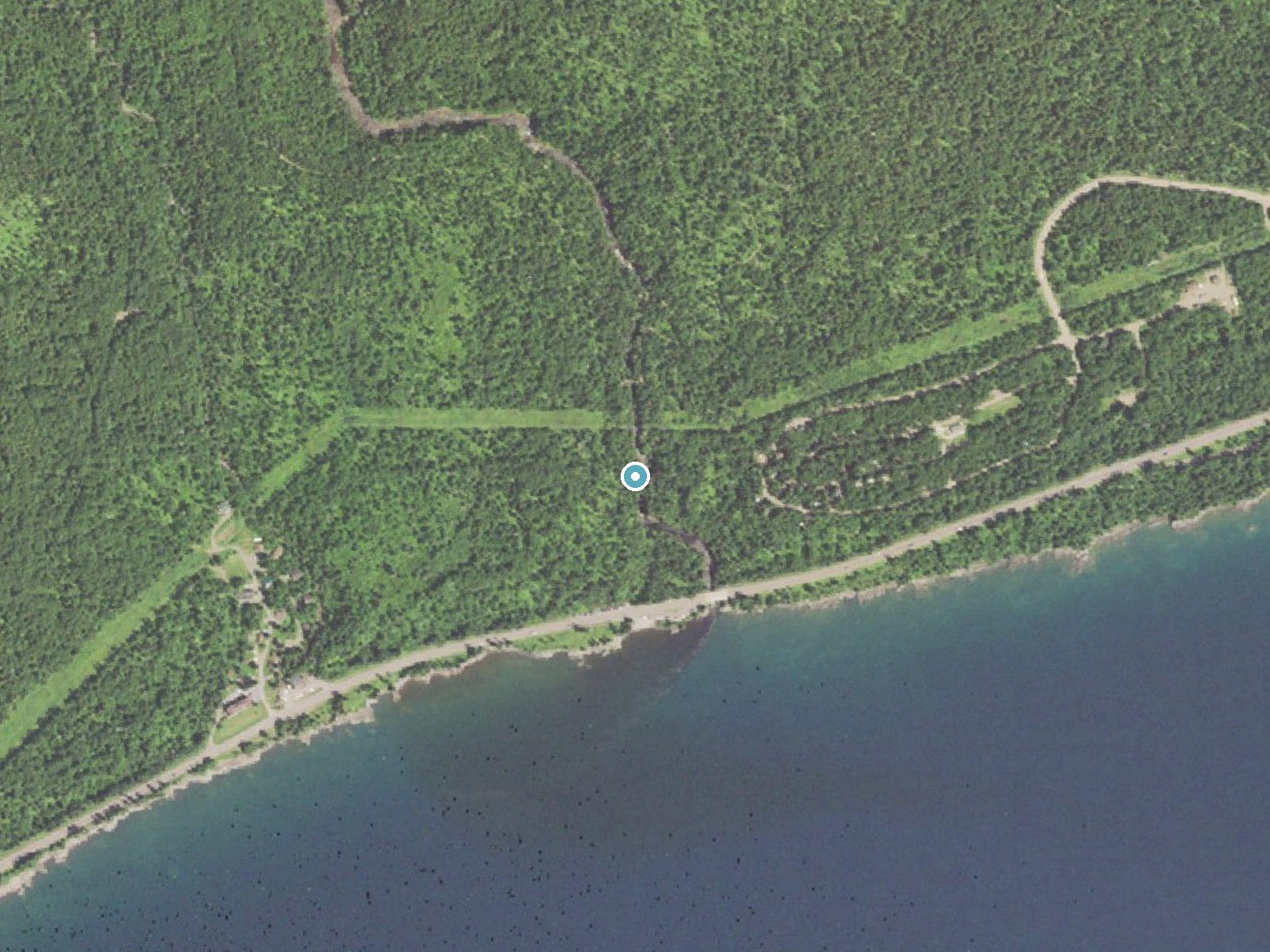
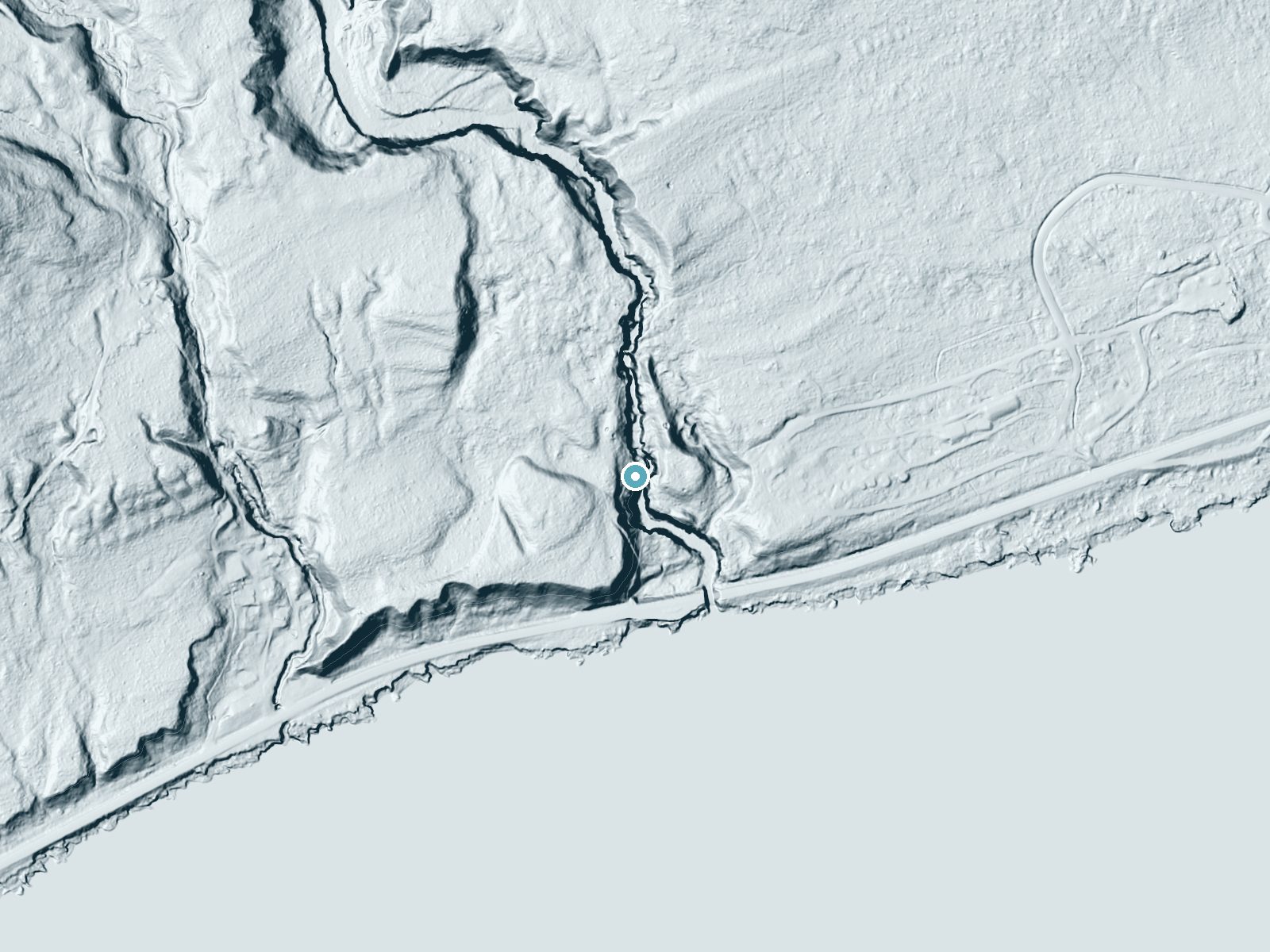
Drag to compare. The dot marks the waterfall. The frame is about a mile across.
- Ground elevation
- 672 feet
- Measured by 1-meter lidar
- Drop at the falls
- About 103 feet
- Change in ground height within ~250 feet of the falls
- Faces
- Southeast
- Sunlit most of the day. Go early or late for softer light.
A slice through the lidar ground surface, from above the falls to downstream (heading southeast).
Elevation data: USGS 3D Elevation Program. Aerial imagery: USGS The National Map. Public domain.
Location & Access
Getting There
Cascade Falls is located within Cascade River State Park, which is situated along Highway 61 on the North Shore of Lake Superior, approximately 10 miles southwest of Grand Marais, Minnesota. Visitors can access the falls via the park's trail system.
Get Directions on Google MapsParking
Parking is available at Cascade River State Park. There is a designated parking area near the trailhead for Cascade Falls.
Elevation
669 feet above sea level
Coordinates
47.708504° N, -90.524010° W
Land Management
Managed by SPR
Visitor Tips & Gear
Wear sturdy shoes as the trail may be slippery near the falls. Visit early in the morning or on weekdays to avoid crowds, especially during peak seasons. Bring a camera to capture the stunning views.
Where to Stay
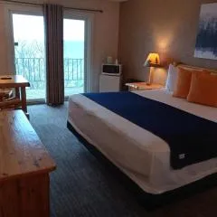
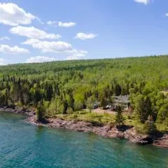
Cliff Dweller on Lake Superior
Thomsonite Inn on Lake Superior
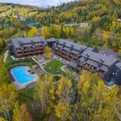
Caribou Highlands Lodge
Aspen Inn
Browse vacation cabins and private rentals nearby
Unique outdoor stays — tents, yurts, and treehouses
Rent a campervan or RV for your waterfall road trip
Some links are affiliate links. We may earn a commission at no extra cost to you.
Nearby Campground
Two Island Lake Campground
12.4 miles away · 0 sites
Two Island Lake Campground is near Grand Marais, but off the beaten path. It offers the services of a fee campground with water, toilets, and trash containers, plus a boat ramp on a lake filled with walleye, smallmouth bass and northerns.For an even more secluded camping or canoeing experience, the nearby Twin Lakes Canoe Route offers backcountry canoeing and campsites similar to those in the Boundary Waters Canoe Area Wilderness. See the Camping and Twin Lakes Canoe Route information sheets fo
Book on Recreation.govAdditional Information
Nearby Attractions
Nearby attractions include other waterfalls along the North Shore, such as Gooseberry Falls and Temperance River State Park. The town of Grand Marais offers dining and shopping options.
Wildlife
The area is home to a variety of wildlife, including deer, birds, and occasionally black bears. Visitors may also spot smaller animals like squirrels and chipmunks.
Other waterfalls named Cascade Falls
24 other waterfalls share this name across the U.S.
Writing about Cascade Falls? Embed this waterfall on your site for free.