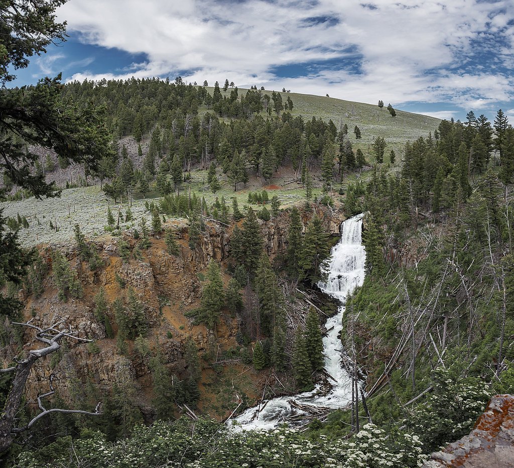
Cascade Falls
By Armen Suny · Last verified Mar 2026
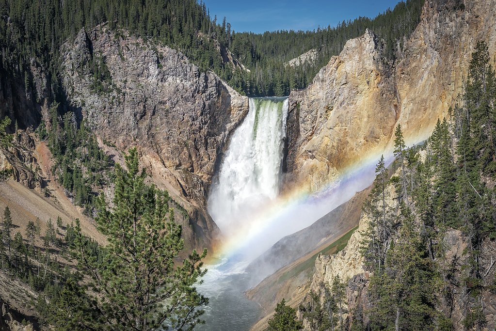
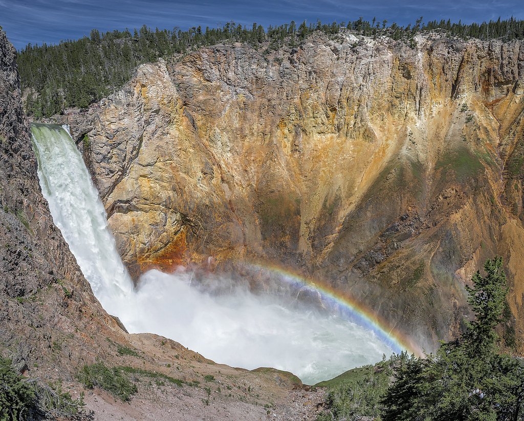
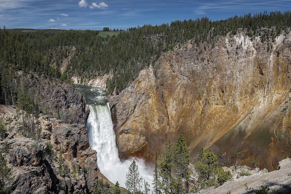
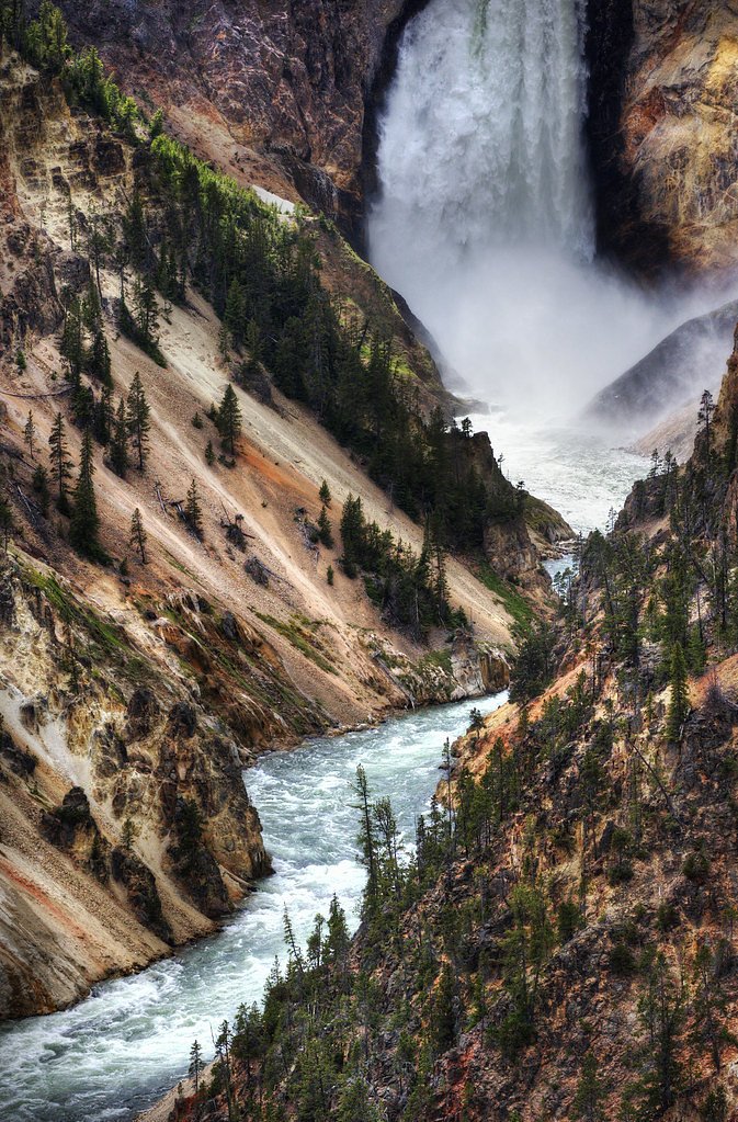
Photo Credits (5)
Difficulty
Moderate
Trail Length
2.5 miles
Trail Type
Out And Back
Elevation Gain
500 ft
About Cascade Falls
Cascade Falls tumbles through a lush, forested draw near Pine Creek, offering a peaceful, photogenic setting tucked into the Gallatin National Forest. Framed by verdant evergreens and mossy rock, the falls are a favorite quick escape for hikers and nature lovers seeking a quiet stretch of river and an easy dose of mountain scenery without a long backcountry commitment. Most visitors reach the waterfall via a moderately paced 2.5-mile out-and-back trail that climbs roughly 500 feet, making the route accessible to many day hikers while still feeling rewarding. The creekside setting and relatively short approach make Cascade Falls a pleasant half-day outing from nearby trailheads; the forested approach keeps the route shaded and scenic year-round.
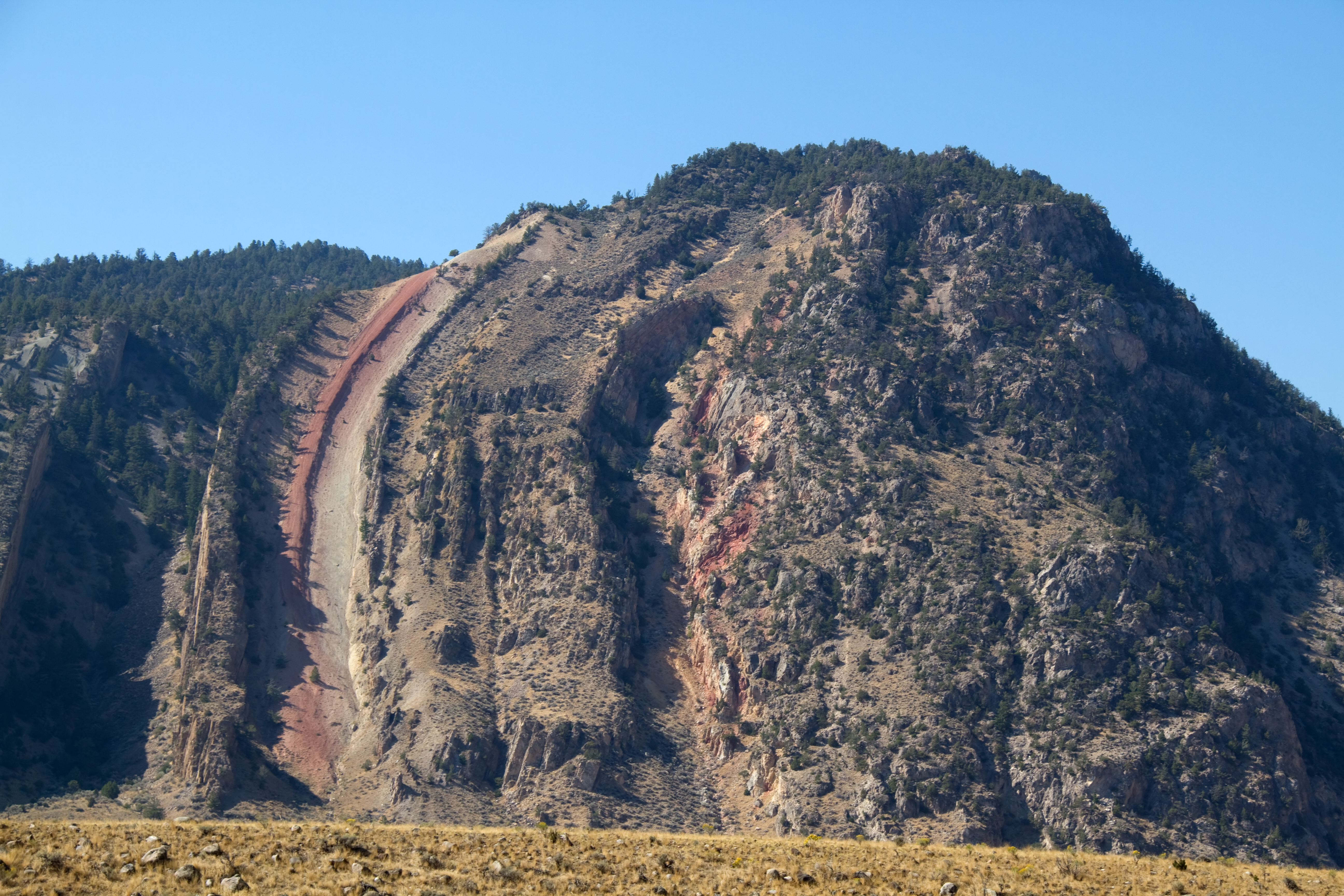
The Setting
Cascade Falls sits at 5,568 feet along the Yellowstone River, in the high mountains of Montana.
Trail & Hike Details
The Approach
The moderate 2.5-mile out-and-back trail gains 500 feet of elevation on the way to the falls.
Trail Description
Trail: out-and-back, 2.5 miles round trip with approximately 500 feet of elevation gain. Difficulty: moderate. Surface and route: a well-defined forest footpath that gains elevation steadily; the tread is typical single-track through mixed conifer forest (non-technical hiking, no climbing required). Conditions: the route is generally straightforward but can develop muddy or slippery sections after rain or spring snowmelt. Location/management: the trail and falls lie within Gallatin National Forest.
What to Expect
Dogs are welcome.
Accessibility
The trail is not wheelchair accessible. Uneven terrain and elevation changes require steady footing.
Frequently Asked Questions
🐶 Are Dogs Allowed at Cascade Falls?
✅ Dogs are allowed
Are There Any Fees or Permits Required?
🆖 No fees required
🏊 Is There Swimming at Cascade Falls?
❌ Swimming is not allowed
When to Visit
The best time to visit Cascade Falls is during late spring through early fall when the trail is most accessible, and the waterfall flow is typically at its peak due to snowmelt.
Seasonal Access
The best time to visit is Spring, Summer, and Fall. Access roads and trails may close during winter due to snow.
Safety Information
Hikers should be cautious of slippery rocks near the waterfall and be prepared for changing weather conditions. Carry bear spray and make noise while hiking to avoid surprising wildlife.
Current Water Conditions
6,480 ft³/s
Current discharge — how much water is flowing
Lower than usual for this time of year
Based on 101 years of record
3.79 ft
Water depth at gauge
60°F
WarmVery comfortable
7-Day Discharge Trend
What does this mean for your visit?
Flow is lower than usual for this time of year. Water temperature is a bracing 60 degrees F, limit your time in the water.
About This Gauge
This gauge is on a nearby waterway and may not reflect exact conditions at the falls.
7-Day Flow Outlook
Based on the USGS gauge Yellowstone River near Livingston, MT (14 km away).
Today
Moderate
7387 cfs
4/10Tomorrow
Moderate
7775 cfs
4/10Sun
Moderate
7775 cfs
4/10Mon
Moderate
7446 cfs
4/10Tue
Moderate
7116 cfs
4/10Wed
Moderate
6984 cfs
4/10Thu
Low
6176 cfs
6/10Best window: Thu — low flow, mostly sunny (trip score 6/10).
Best time of year: this gauge typically runs highest from early May to early August, peaking in June.
How we calculate this
This is a transparent outlook, not a precise forecast. We take the waterfall's current flow strength (how it ranks against its historical normal for today, from the nearest USGS stream gauge), carry that ranking forward along the gauge's seasonal curve, and nudge it for forecast rain. Confidence is highest for the next day or two and falls further out. Always check official conditions and your own judgment before visiting — high flows can be dangerous.
Know when to go.
Get a free email alert when waterfalls near Pine Creek hit peak flow. We only send when conditions are worth the trip — no weekly newsletters, no spam.
Weather Forecast
Location & Access
Getting There
Cascade Falls is located approximately 2.4 miles from Pine Creek, 6.6 miles from Pray, and 9.9 miles from Livingston, Montana. The coordinates for the falls are 45.4697, -110.5602. Access is typically via a trailhead in the Gallatin National Forest.
Get Directions on Google MapsParking
Parking is available at the trailhead, but spaces may be limited during peak seasons. Visitors are advised to arrive early to secure a spot.
Elevation
5,568 feet above sea level
Coordinates
45.469659° N, -110.560205° W
Visitor Tips & Gear
Wear sturdy hiking shoes, as the trail may be uneven or slippery in places. Bring water and snacks, and consider starting early in the day to avoid crowds. Check weather conditions before your visit, as the trail can be muddy after rain.
This trail sits at 5,568 ft above sea level
Elevated TrailUV radiation is roughly 22% stronger at this elevation than at sea level, and the dry air accelerates dehydration. Extra sun protection and fluids go a long way.
As an Amazon Associate, we earn from qualifying purchases.

Coppertone Sport SPF 50 Sunscreen
UV intensity jumps ~4% per 1,000 ft — at this elevation you can burn in half the time.

Sun Bum SPF 30 Lip Balm (3-Pack)
Lips have almost no natural UV protection and burn fast in thin, dry mountain air.

Liquid I.V. Electrolyte Packets
You lose moisture ~2x faster at elevation — electrolytes help you absorb water efficiently.

ROCKNIGHT Polarized UV400 Sunglasses
High-altitude glare off rock and water is intense — UV400 lenses block 99%+ of UVA/UVB.
As an Amazon Associate, we earn from qualifying purchases.
With 2.5 miles and 500 ft of elevation gain, sturdy boots and trekking poles will help on this moderate trail. Sun exposure on the trail makes good sun protection a must in summer.

Polarized Sunglasses (Knockaround)
Cuts glare off the water so you actually see the falls — and your photos turn out better too.

Columbia Watertight II Rain Jacket
Packs into its own pocket, seam-sealed, and keeps you dry from spray and surprise rain.

Earth Pak Waterproof Dry Bag
Keeps your phone and gear dry when waterfall mist soaks everything else.

Waterproof Phone Pouch (AiRunTech)
Cheap insurance — take photos right next to the falls without killing your phone.

Timberland Euro Sprint Mid Waterproof
Trusted waterproof boot with premium leather and grippy rubber sole — reliable on rocky, wet trails.

TrailBuddy Trekking Poles
Lightweight aluminum, cork grips, and flip-locks that actually hold — a best-seller for good reason.
Where to Stay

Fairfield by Marriott Inn & Suites Livingston Yellowstone

Under Canvas North Yellowstone - Paradise Valley

Couples Retreat 1-Hour Drive from Yellowstone NP!

Home2 Suites by Hilton Livingston Yellowstone
Browse vacation cabins and private rentals nearby
Unique outdoor stays — tents, yurts, and treehouses
Rent a campervan or RV for your waterfall road trip
Some links are affiliate links. We may earn a commission at no extra cost to you.
Nearby Campground
MILL CREEK CABIN
12.5 miles away · 1 sites
Overview Mill Creek Cabin was built in 1927 as a temporary lodging for traveling Forest Service personnel. The cabin can be accessed by vehicle year-round, though a four-wheel drive vehicle is recommended. Guests are responsible for their own travel arrangements and safety. This cabin offers rustic accommodations with limited amenities, so guests need to bring most of their own supplies and gear for a comfortable stay.Recreation Hikers and equestrians can access trailheads that lead into the Absa
Book on Recreation.govNearby Hot Springs
Hot springs near Pine Creek, Montana
Carter Bridge Warm Springs
Carter Bridge Warm Springs surfaces at 82°F in Park County, Montana, at 4,542 feet elevation. Reaching the spring requires a sh...

Chico Hot Springs
Chico Hot Springs produces 113°F water at 5,336 feet in Park County's Paradise Valley, 30 miles north of Yellowstone National P...
Anderson Springs
Anderson Springs flows at 77°F in Sweet Grass County, Montana, at 5,540 feet elevation along the East Boulder River drainage. U...

Bear Creek Springs
Bear Creek Springs discharges at 72°F -- only 31 degrees above ambient -- within Gallatin National Forest at 5,423 feet elevati...
Hunters Hot Springs
Hunters Hot Springs discharges at 140°F in Sweet Grass County, Montana, at 4,386 feet elevation. The water is strongly alkaline...
Laduke (Corwin) Hot Spring
LaDuke Hot Spring, also called Corwin Hot Spring, discharges at 154°F on the Gallatin National Forest in Gallatin County, Monta...
Looking for a soak after your hike? Explore more hot springs near Pine Creek, Montana on SoakingSprings.
Explore Montana springsAdditional Information
Nearby Attractions
Nearby attractions include Pine Creek Falls, Livingston, and the Yellowstone River. The area also offers opportunities for fishing, camping, and wildlife viewing.
Wildlife
The area is home to various wildlife, including deer, birds, and occasionally bears. Visitors should exercise caution and carry bear spray if hiking in the region.
Cities near Cascade Falls
Other waterfalls named Cascade Falls
24 other waterfalls share this name across the U.S.
Writing about Cascade Falls? Embed this waterfall on your site for free.