
Twin Falls
By Armen Suny · Last verified Mar 2026
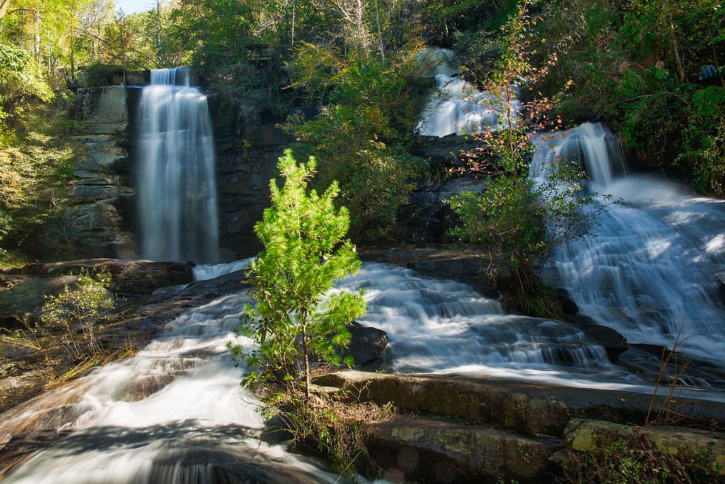
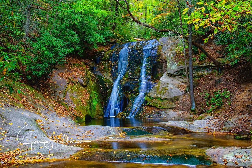
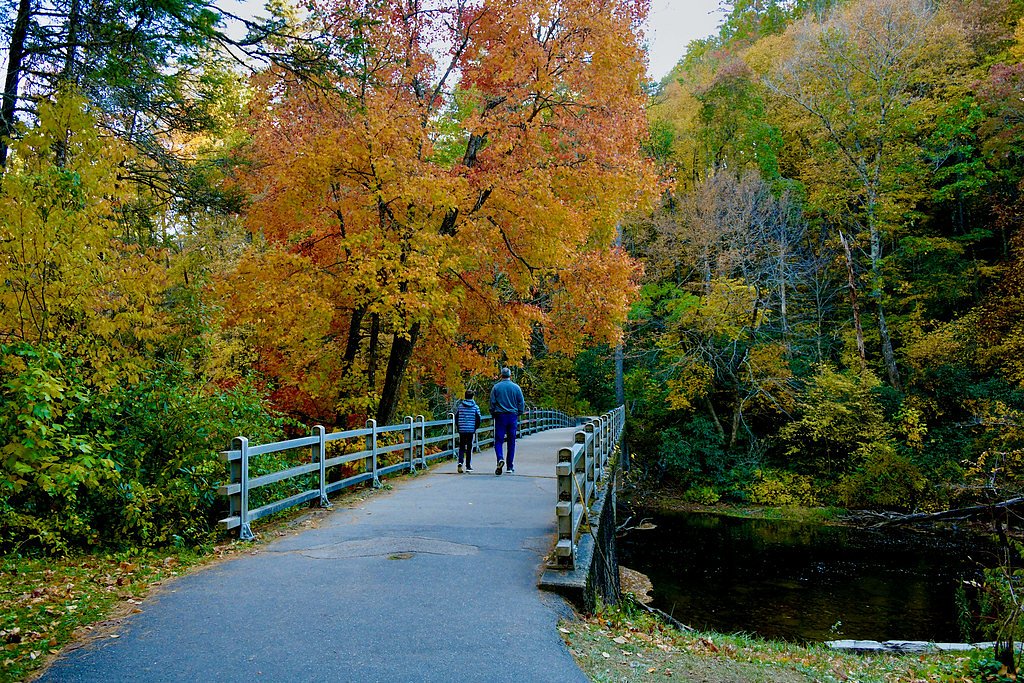

Photo Credits (5)
Difficulty
Moderate
Trail Length
4.0 miles
Trail Type
Out And Back
Elevation Gain
500 ft
About Twin Falls
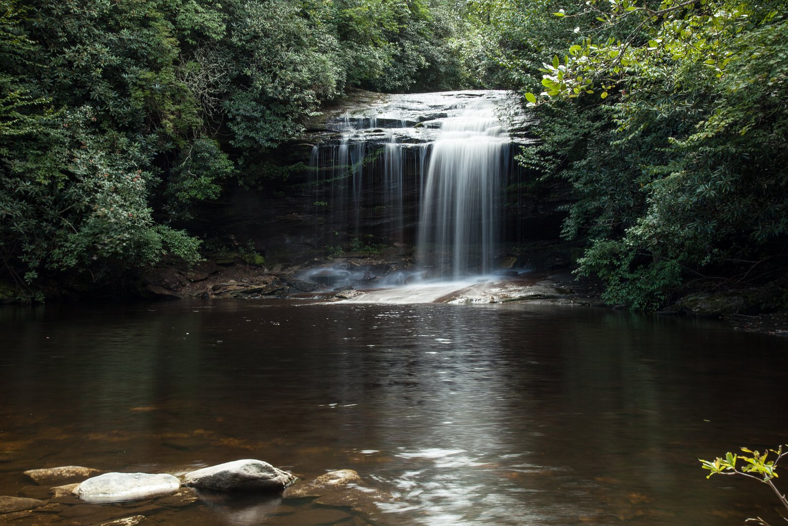
Twin Falls is a picturesque waterfall tucked into Pisgah National Forest in western North Carolina. The falls split into two distinct cascades that tumble side-by-side through a mossy hardwood forest, creating classic Blue Ridge scenery that’s popular with photographers and nature lovers alike. Nestled among shaded slopes and mature trees, the twin drops offer a peaceful, photogenic escape from nearby roads and towns. Reaching the falls is a pleasant, moderately paced outing: the most common approach is an out-and-back hike of about 4.0 miles round-trip with roughly 500 feet of elevation gain. The trail threads through mixed forest and follows small streams before arriving at viewpoints where the twin cascades and surrounding gorge come into clear view—an inviting hike for day-trippers who want a rewarding waterfall destination without an overly strenuous climb.
The Setting
Twin Falls sits at 3,419 feet along the Tuckasegee River, in the mountains of North Carolina.
Nearby Falls Worth Visiting
Schoolhouse Falls (20 ft) lies 2.7 miles to the northeast.
Trail & Hike Details
The Approach
The moderate 4.0-mile out-and-back trail gains 500 feet of elevation on the way to the falls.
Trail Description
Trail type: Out-and-back. Distance: ~4.0 miles round-trip. Elevation gain: ~500 feet. Difficulty: Moderate. The route follows forested footpaths with a mix of shaded singletrack, small creek crossings, and some rocky sections on the approach. The tread is generally well-marked and offers scenic streamside walking and viewpoints near the falls; expect a steady, moderate climb in places but nothing technical. (No specific USFS trail number/name or formal surface/grade/class data was provided.)
What to Expect
Dogs are welcome.
Accessibility
The trail is not wheelchair accessible. Uneven terrain and elevation changes require steady footing.
Frequently Asked Questions
🐶 Are Dogs Allowed at Twin Falls?
✅ Dogs are allowed
Are There Any Fees or Permits Required?
🆖 No fees required
🏊 Is There Swimming at Twin Falls?
❌ Swimming is not allowed
When to Visit
Spring and early summer are ideal for visiting Twin Falls, as the water flow is typically strongest during these seasons. Fall offers beautiful foliage, while winter provides a quieter experience with fewer visitors.
Seasonal Access
The best time to visit is Spring, Summer, and Fall. Winter access may be limited.
Safety Information
Exercise caution on wet or slippery rocks near the falls. Be prepared for sudden weather changes, and avoid hiking alone. Cell phone service may be limited in the area.
Current Water Conditions
75 ft³/s
Current discharge — how much water is flowing
Much lower than usual for this time of year
Based on 21 years of record
4.07 ft
Water depth at gauge
7-Day Discharge Trend
What does this mean for your visit?
Flow is well below normal for this time of year, so the waterfall may be a trickle.
About This Gauge
This gauge is on a nearby waterway and may not reflect exact conditions at the falls.
7-Day Flow Outlook
Based on the USGS gauge TUCKASEGEE RIVER AT SR 1172 NR CULLOWHEE, NC (19 km away).
Today
Moderate
86 cfs
6/10Tomorrow
Moderate
91 cfs
6/10Wed
Moderate
90 cfs
6/10Thu
Moderate
96 cfs
6/10Fri
Moderate
107 cfs
6/10Sat
Moderate
103 cfs
6/10Sun
Moderate
98 cfs
6/10Best window: Today — moderate flow, chance showers and thunderstorms (trip score 6/10).
Best time of year: this gauge typically runs highest from late December to late January, peaking in January.
How we calculate this
This is a transparent outlook, not a precise forecast. We take the waterfall's current flow strength (how it ranks against its historical normal for today, from the nearest USGS stream gauge), carry that ranking forward along the gauge's seasonal curve, and nudge it for forecast rain. Confidence is highest for the next day or two and falls further out. Always check official conditions and your own judgment before visiting — high flows can be dangerous.
Know when to go.
Get a free email alert when waterfalls near Cashiers hit peak flow. We only send when conditions are worth the trip — no weekly newsletters, no spam.
Weather Forecast
Location & Access
Getting There
Twin Falls can be accessed via the Pisgah National Forest near Brevard, North Carolina. The trailhead is typically reached by driving along Forest Road 477 (also known as Avery Creek Road).
Get Directions on Google MapsParking
Parking is available at the trailhead along Forest Road 477, but spaces may be limited, especially during peak seasons.
Elevation
3,419 feet above sea level
Coordinates
35.139261° N, -83.043476° W
Visitor Tips & Gear
Arrive early to secure parking, especially during weekends and peak seasons. Wear sturdy hiking shoes, as the trail can be uneven and slippery in places. Bring insect repellent during warmer months.
As an Amazon Associate, we earn from qualifying purchases.
With 4.0 miles and 500 ft of elevation gain, sturdy boots and trekking poles will help on this moderate trail. Sun exposure on the trail makes good sun protection a must in summer.

Polarized Sunglasses (Knockaround)
Cuts glare off the water so you actually see the falls — and your photos turn out better too.

Columbia Watertight II Rain Jacket
Packs into its own pocket, seam-sealed, and keeps you dry from spray and surprise rain.

Earth Pak Waterproof Dry Bag
Keeps your phone and gear dry when waterfall mist soaks everything else.

Waterproof Phone Pouch (AiRunTech)
Cheap insurance — take photos right next to the falls without killing your phone.

Timberland Euro Sprint Mid Waterproof
Trusted waterproof boot with premium leather and grippy rubber sole — reliable on rocky, wet trails.

TrailBuddy Trekking Poles
Lightweight aluminum, cork grips, and flip-locks that actually hold — a best-seller for good reason.
Where to Stay

Foxhunt at Sapphire Valley

Fairway Forest

The Wells Cashiers

Spectacular Mountain Views With Your Own Private Hot Tub!
Browse vacation cabins and private rentals nearby
Unique outdoor stays — tents, yurts, and treehouses
Rent a campervan or RV for your waterfall road trip
Some links are affiliate links. We may earn a commission at no extra cost to you.
Nearby Campground
BALSAM LAKE LODGE
9 miles away · 1 sites
Overview Balsam Lake Lodge is nestled in the center of the 39,000-acre Roy Taylor Forest within the Nantahala National Forest. The lodge overlooks Balsam Lake and offers spectacular mountain views.The lodge opened its doors to the public when the Forest Service acquired the dwelling and lake in 1982. Since then groups have rented the lodge for meetings, recreation and environmental activities. NOTE: Balsam Lake Lodge is not a campground and has no campsites available for sewer, water, or electric
Book on Recreation.govAdditional Information
Nearby Attractions
Nearby attractions include Looking Glass Falls, Sliding Rock, and the Cradle of Forestry in America.
Wildlife
The area is home to a variety of wildlife, including birds, deer, and small mammals. Be cautious of snakes and other potentially hazardous animals.
Cities near Twin Falls
Nearby Waterfalls
 CC
CC
Other waterfalls named Twin Falls
21 other waterfalls share this name across the U.S.
Writing about Twin Falls? Embed this waterfall on your site for free.