Twin Falls
By Armen Suny · Last verified Jun 2026
Photo Credits (1)
Difficulty
Drive Up
Trail Length
0.2 km
Trail Type
Out And Back
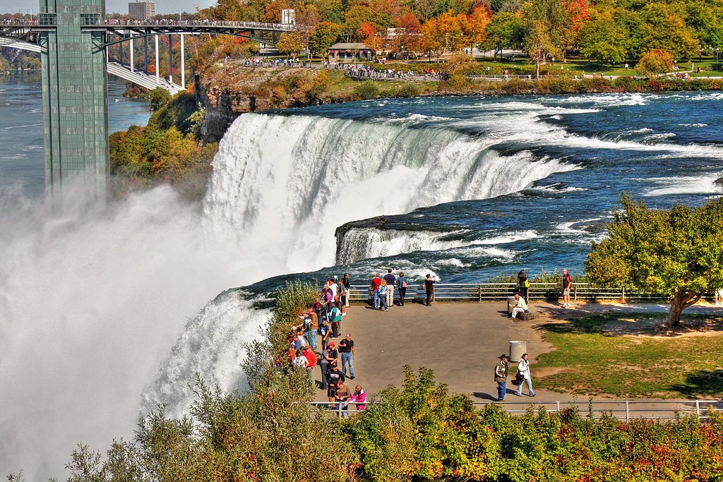
About Twin Falls
Twin Falls is a pair of adjacent drops located in northwestern Ontario at approximately 49.1886, -86.1124. The site sits in a relatively remote forested area roughly 32.2 miles from Marathon and 61.9 miles from Geraldton (distances by road). Reports indicate a classic northern-Ontario woodland waterfall experience: rugged shoreline, rock ledges and two distinct drops or channels. Specifics about the waterfall's official name, measured height, and maintained access are not well-documented publicly, so details below are cautious and may be approximate.
Why This Waterfall Exists
Twin Falls flows over hard volcanic rock, primarily gneiss, laid down over 2.5-3.2 billion years ago. These resistant rocks form a durable ledge that water cannot easily wear away, creating the falls where softer material downstream has already eroded.
Trail & Hike Details
The Approach
No hiking required. Twin Falls is accessible by vehicle with a roadside viewing area.
Trail Description
Trail conditions are not well-documented. Expect a short to moderate walk from an informal parking area, likely on forest tracks, over roots and rocks, and possibly through wet or boggy sections. Trails to similar remote waterfalls in this region are often unmarked and can include stream crossings and uneven footing. Follow common backcountry route-finding practices and be prepared for limited signage and no maintained boardwalks or guardrails.
What to Expect
Scenic twin drops with rock ledges and forested surroundings. Flow will vary seasonally, highest in spring and after heavy rain, lower in late summer. Expect insects (black flies and mosquitoes) in warm months, wet and slippery rocks near the falls, and limited or no cell service. There may be no official viewing platforms; visitors commonly view from safe rock outcrops or the stream bank.
Accessibility
This waterfall is viewable from a vehicle-accessible area. No hiking is required.
Frequently Asked Questions
🐶 Are Dogs Allowed at Twin Falls?
❌ Dogs are not allowed
Are There Any Fees or Permits Required?
🆖 No fees required
🏊 Is There Swimming at Twin Falls?
❌ Swimming is not allowed
When to Visit
Spring for highest water flow and dramatic cascades; late spring/early summer for access and fewer muddy roads; fall for foliage and cooler conditions. Winter offers ice formations for experienced winter hikers with appropriate traction and cold-weather gear, but access may be more difficult.
Seasonal Access
The best time to visit is Spring, Summer, Fall, and Winter. Check with the managing park or local authority for current conditions.
Safety Information
Hazards may include slippery rocks and ledges, strong currents near the base (avoid entering fast-moving water), unstable cliff edges, cold water temperatures, and limited cell reception. Bears and moose are possible, store food properly and be prepared for wildlife encounters. Roads to the site may be seasonal or gated for logging; spring thaw can make roads impassable. Always carry basic emergency supplies and tell someone your plans before heading into remote areas.
Current Water Conditions
Based on a Water Survey of Canada gauge 48 km away
10.8 m³/s
Current discharge — how much water is flowing
Much lower than usual for this time of year
Based on 56 years of record
1.84 m
Water depth at gauge
7-Day Discharge Trend
What does this mean for your visit?
Flow is well below normal for this time of year, so the waterfall may be a trickle.
About This Gauge
This gauge is on a regional waterway. Conditions at the falls may differ, especially after local rain.
7-Day Flow Outlook
Based on the WSC gauge PIC RIVER NEAR MARATHON (48 km away).
Today
Barely Flowing
11 m³/s
4/10Tomorrow
Barely Flowing
11 m³/s
3/10Tue
Low
11 m³/s
4/10Wed
Barely Flowing
10 m³/s
4/10Thu
Barely Flowing
10 m³/s
3/10Fri
Barely Flowing
10 m³/s
4/10Sat
Barely Flowing
10 m³/s
3/10Best window: Today — barely flowing flow, cloudy (trip score 4/10).
Best time of year: this gauge typically runs highest from mid April to late June, peaking in May.
How we calculate this
This is a transparent outlook, not a precise forecast. We take the waterfall's current flow strength (how it ranks against its historical normal for today, from the nearest WSC stream gauge), carry that ranking forward along the gauge's seasonal curve, and nudge it for forecast rain. Confidence is highest for the next day or two and falls further out. Always check official conditions and your own judgment before visiting — high flows can be dangerous.
Know when to go.
Get a free email alert when waterfalls near Marathon hit peak flow. We only send when conditions are worth the trip — no weekly newsletters, no spam.
Weather Forecast
Location & Access
Getting There
Access is likely by paved highway to the nearest regional road followed by secondary or logging roads. From Marathon (≈32.2 miles) or Geraldton (≈61.9 miles) expect long rural driving; a high-clearance vehicle may be helpful on unpaved approaches. Exact turnoffs and parking coordinates are not confirmed here, use local maps, a reliable GPS, and check recent trip reports before travel.
Get Directions on Google MapsParking
Parking may be limited to a roadside pullout or informal clearing; there may not be a developed parking lot. Expect uneven ground and limited signage. If visiting in wet/thaw seasons, some access roads may be muddy or impassable for passenger cars.
Elevation
216 metres above sea level
Coordinates
49.188644° N, -86.112390° W
Visitor Tips & Gear
1) Wear sturdy, waterproof footwear with good traction. 2) Carry a map, GPS, or offline mapping app, cell signal may be poor. 3) Bring insect repellent in spring and summer. 4) Check local road conditions and closures before heading out; a high-clearance vehicle may be advisable. 5) Keep well back from cliff edges and wet rocks; surfaces are slippery. 6) Travel with a partner when possible and tell someone your route and expected return time.
Where to Stay
Browse vacation cabins and private rentals nearby
Unique outdoor stays — tents, yurts, and treehouses
Rent a campervan or RV for your waterfall road trip
Some links are affiliate links. We may earn a commission at no extra cost to you.
Additional Information
Nearby Attractions
Nearest communities: Marathon (≈32.2 miles) and Geraldton (≈61.9 miles). Regional attractions may include Lake Superior shoreline and nearby provincial parks (for example, Neys Provincial Park is in the Marathon region). Confirm driving distances and directions before planning side trips.
Wildlife
Typical northwestern Ontario wildlife: moose, white-tailed deer, black bear, wolves and coyotes, small mammals, and diverse birdlife. Insects such as black flies and mosquitoes can be abundant in warm months.
Cities near Twin Falls
Nearby Waterfalls
Other waterfalls named Twin Falls
21 other waterfalls share this name across Canada.
Writing about Twin Falls? Embed this waterfall on your site for free.