
Photo Credits (5)
Difficulty
Moderate
Trail Length
3.5 miles
Trail Type
Out And Back
Elevation Gain
700 ft
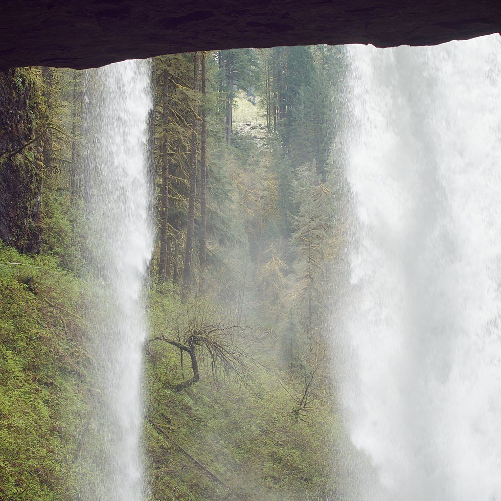
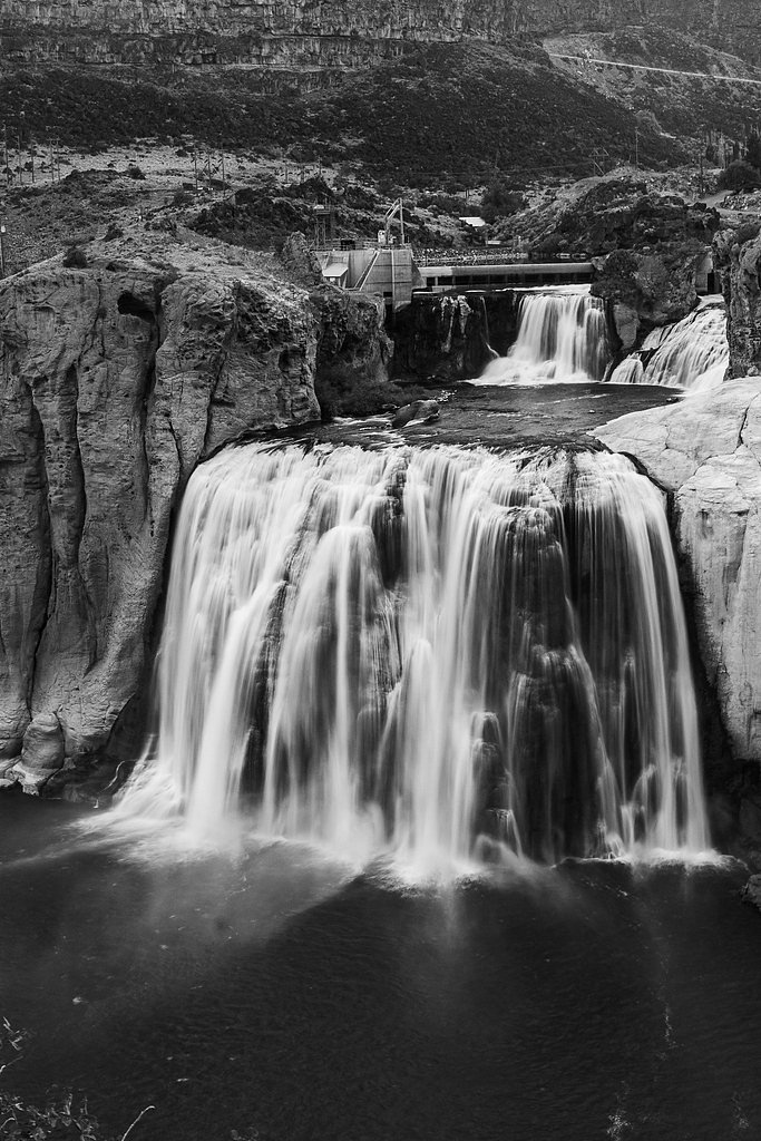
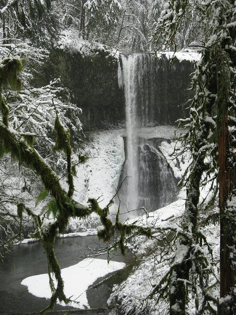
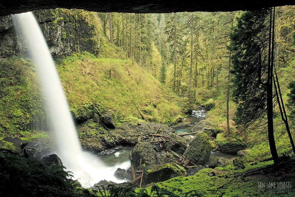
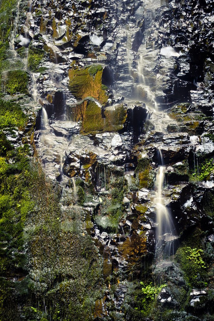
About Twin Falls
Twin Falls sits tucked into the verdant slopes of Silver Falls State Park, offering a picture-perfect pair of cascades that draw hikers and photographers year-round. The falls drop in two distinct streams, framed by mossy rock and towering evergreens, and the scene is especially lush through spring and summer when runoff is higher. It’s an accessible natural highlight of the park and a favorite stop for visitors exploring the network of falls in the area. Reaching Twin Falls is a rewarding short-day outing: the route to the viewpoint is a 3.5-mile out-and-back trail with roughly 700 feet of elevation gain and a moderate difficulty rating. The well-trod path winds through dense forest and opens onto scenic viewpoints of the twin cascades, making it a satisfying option for hikers who want a taste of Silver Falls State Park without committing to a long backcountry trek.
The Setting
Twin Falls sits at 1,243 feet within Silver Falls State Park, fed by the North Santiam River, in the foothills of Oregon.
Nearby Falls Worth Visiting
Double Falls (178 ft) lies 0.6 miles to the northwest. Also nearby: North Falls (136 ft, 0.7 mi) and Winter Falls (134 ft, 0.2 mi).
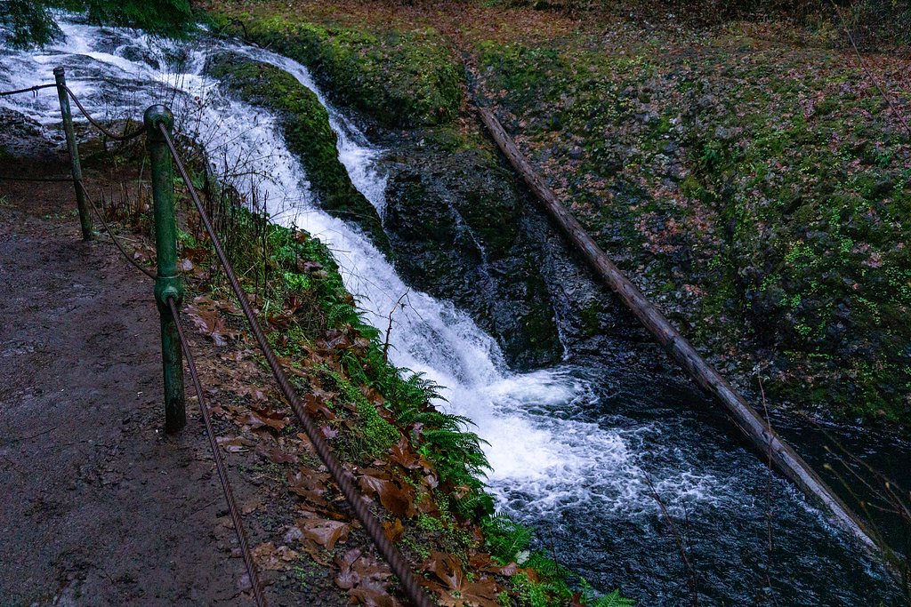
Trail & Hike Details
The Approach
The moderate 3.5-mile out-and-back trail gains 700 feet of elevation on the way to the falls.
Trail Description
This is a 3.5-mile out-and-back trail with about 700 feet of cumulative elevation gain, rated moderate. The route follows established park trails through dense forest and includes some steep, uneven sections and short climbs—sturdy footwear and typical trail precautions are recommended. Expect a mix of packed natural tread and root-strewn sections as you approach viewpoints of the twin drops; the trail is suitable for most moderately fit hikers looking for a half-day outing in Silver Falls State Park.
What to Expect
Dogs are welcome.
Accessibility
The trail is not wheelchair accessible. Uneven terrain and elevation changes require steady footing.
Frequently Asked Questions
🐶 Are Dogs Allowed at Twin Falls?
✅ Dogs are allowed
Are There Any Fees or Permits Required?
🤑 Fee: $5.00
🏊 Is There Swimming at Twin Falls?
❌ Swimming is not allowed
When to Visit
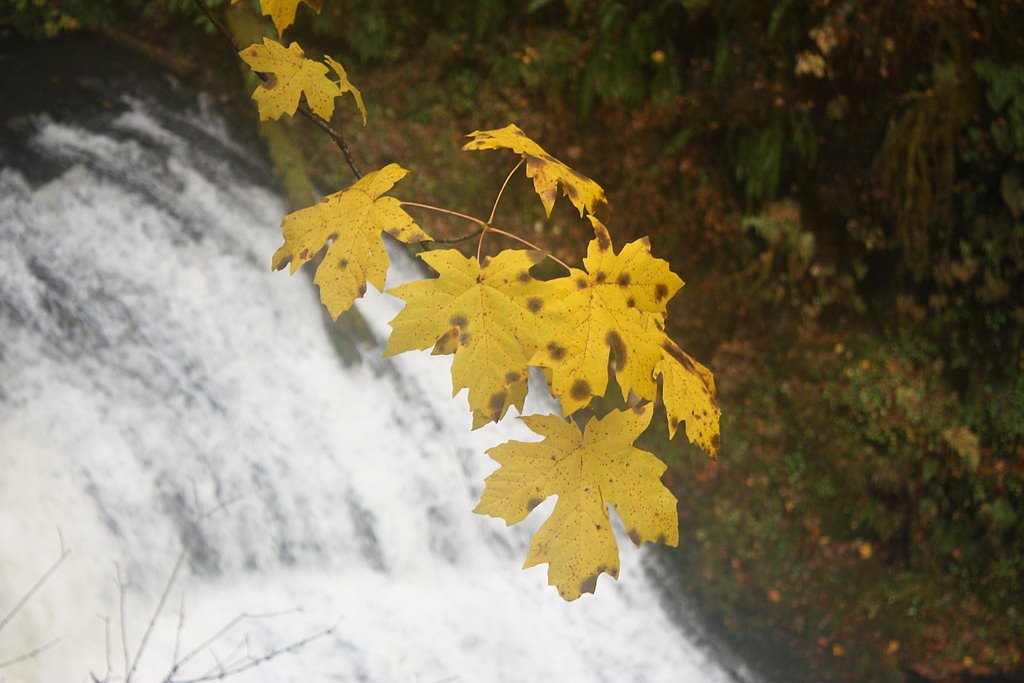
Spring and early summer are the best times to visit, as the falls are most impressive with higher water flow. Fall offers beautiful foliage, while winter may bring icy conditions.
Seasonal Access
The best time to visit is Spring, Summer, and Fall. Winter access may be limited.
Safety Information
Be cautious on steep or slippery sections of the trail, especially after rain. Stay on marked paths to avoid damaging the environment or getting lost.
Current Water Conditions
1,220 ft³/s
Current discharge — how much water is flowing
Lower than usual for this time of year
Based on 109 years of record
3.33 ft
Water depth at gauge
7-Day Discharge Trend
What does this mean for your visit?
Flow is lower than usual for this time of year.
About This Gauge
This gauge is on a nearby waterway and may not reflect exact conditions at the falls.
7-Day Flow Outlook
Based on the USGS gauge NORTH SANTIAM RIVER AT MEHAMA, OR (11 km away).
Today
Barely Flowing
1220 cfs
4/10Tomorrow
Low
1341 cfs
4/10Sun
Low
1422 cfs
3/10Mon
Low
1369 cfs
4/10Tue
Low
1358 cfs
4/10Wed
Low
1334 cfs
4/10Thu
Low
1227 cfs
4/10Best window: Today — barely flowing flow, mostly cloudy (trip score 4/10).
Best time of year: this gauge typically runs highest from mid November to late January, peaking in November.
How we calculate this
This is a transparent outlook, not a precise forecast. We take the waterfall's current flow strength (how it ranks against its historical normal for today, from the nearest USGS stream gauge), carry that ranking forward along the gauge's seasonal curve, and nudge it for forecast rain. Confidence is highest for the next day or two and falls further out. Always check official conditions and your own judgment before visiting — high flows can be dangerous.
Know when to go.
Get a free email alert when waterfalls near Mehama hit peak flow. We only send when conditions are worth the trip — no weekly newsletters, no spam.
Weather Forecast
Location & Access
Getting There
Twin Falls is located near the Columbia River Gorge in Oregon. Access is typically via a trailhead along the Historic Columbia River Highway. Specific directions may vary depending on the trailhead used.
Get Directions on Google MapsParking
Parking is available at designated trailheads, but it may be limited during peak seasons. Arrive early to secure a spot.
Elevation
1,243 feet above sea level
Coordinates
44.885184° N, -122.637105° W
Land Management
Managed by CITY
Visitor Tips & Gear
Start your hike early to avoid crowds, especially during weekends and holidays. Bring plenty of water and wear sturdy hiking shoes. Check trail conditions before heading out, as the area can be muddy after rain.
As an Amazon Associate, we earn from qualifying purchases.
With 3.5 miles and 700 ft of elevation gain, sturdy boots and trekking poles will help on this moderate trail. Sun exposure on the trail makes good sun protection a must in summer.

Polarized Sunglasses (Knockaround)
Cuts glare off the water so you actually see the falls — and your photos turn out better too.

Columbia Watertight II Rain Jacket
Packs into its own pocket, seam-sealed, and keeps you dry from spray and surprise rain.

Earth Pak Waterproof Dry Bag
Keeps your phone and gear dry when waterfall mist soaks everything else.

Waterproof Phone Pouch (AiRunTech)
Cheap insurance — take photos right next to the falls without killing your phone.

Timberland Euro Sprint Mid Waterproof
Trusted waterproof boot with premium leather and grippy rubber sole — reliable on rocky, wet trails.

TrailBuddy Trekking Poles
Lightweight aluminum, cork grips, and flip-locks that actually hold — a best-seller for good reason.
Where to Stay

Oregon Garden Resort

The 1908 Bungalow

La Quinta by Wyndham Salem OR

Best Western Premier Keizer Salem Hotel
Browse vacation cabins and private rentals nearby
Unique outdoor stays — tents, yurts, and treehouses
Rent a campervan or RV for your waterfall road trip
Some links are affiliate links. We may earn a commission at no extra cost to you.
Nearby Campground
Aquila Vista Recreation Site
9.8 miles away · 1 sites
Overview Aquila Vista is closed until further notice to remove wildfire burned danger trees. Aquila Vista is available for overnight group camping for groups up to 30 people and 20 vehicles. The season, when it reopens, will be mid-May through mid-October. The site is located in the heart of the forest next to a large beaver pond. There is plenty of hiking and natural beauty to see at Aquila Vista including a small waterfall. Amenities include vault toilet, two group picnic shelters with multiple
Book on Recreation.govNearby Hot Springs
Hot springs near Mehama, Oregon

Bagby Hot Springs
Bagby Hot Springs flows at 136°F deep in Mount Hood National Forest at 2,272 feet elevation, requiring a 3,720-foot hike from F...

Breitenbush Hot Springs
Breitenbush Hot Springs emerges at 198°F along the Breitenbush River, ranking as one of Oregon's hottest thermal features with ...

Austin Hot Springs
Austin Hot Springs discharges at 186°F along the Clackamas River at 1,680 feet elevation, emerging just 310 feet from Clackamas...

Bigelow Hot Springs
Bigelow Hot Springs, also called Deer Creek Hot Springs, emerges at 142°F just 400 feet from Deer Creek Road in the Willamette ...

Swim Warm Springs
Swim Warm Springs emerges at 79°F within Mount Hood National Forest at 4,063 feet elevation, flowing just 6.9 meters from White...
Belknap Springs
Belknap Springs flows at 160°F along the McKenzie River in the Cascade Range, emerging just 510 feet from North Belknap Springs...
Looking for a soak after your hike? Explore more hot springs near Mehama, Oregon on SoakingSprings.
Explore Oregon springsAdditional Information
Nearby Attractions
Other waterfalls in the Columbia River Gorge, such as Multnomah Falls and Wahkeena Falls, are nearby and worth visiting.
Wildlife
The area is home to a variety of wildlife, including birds, deer, and small mammals. Keep an eye out for native flora and fauna along the trail.
Cities near Twin Falls
Nearby Waterfalls

Other waterfalls named Twin Falls
21 other waterfalls share this name across the U.S.
Writing about Twin Falls? Embed this waterfall on your site for free.