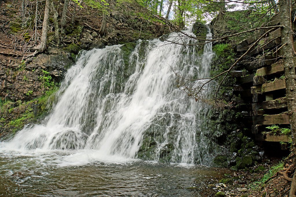
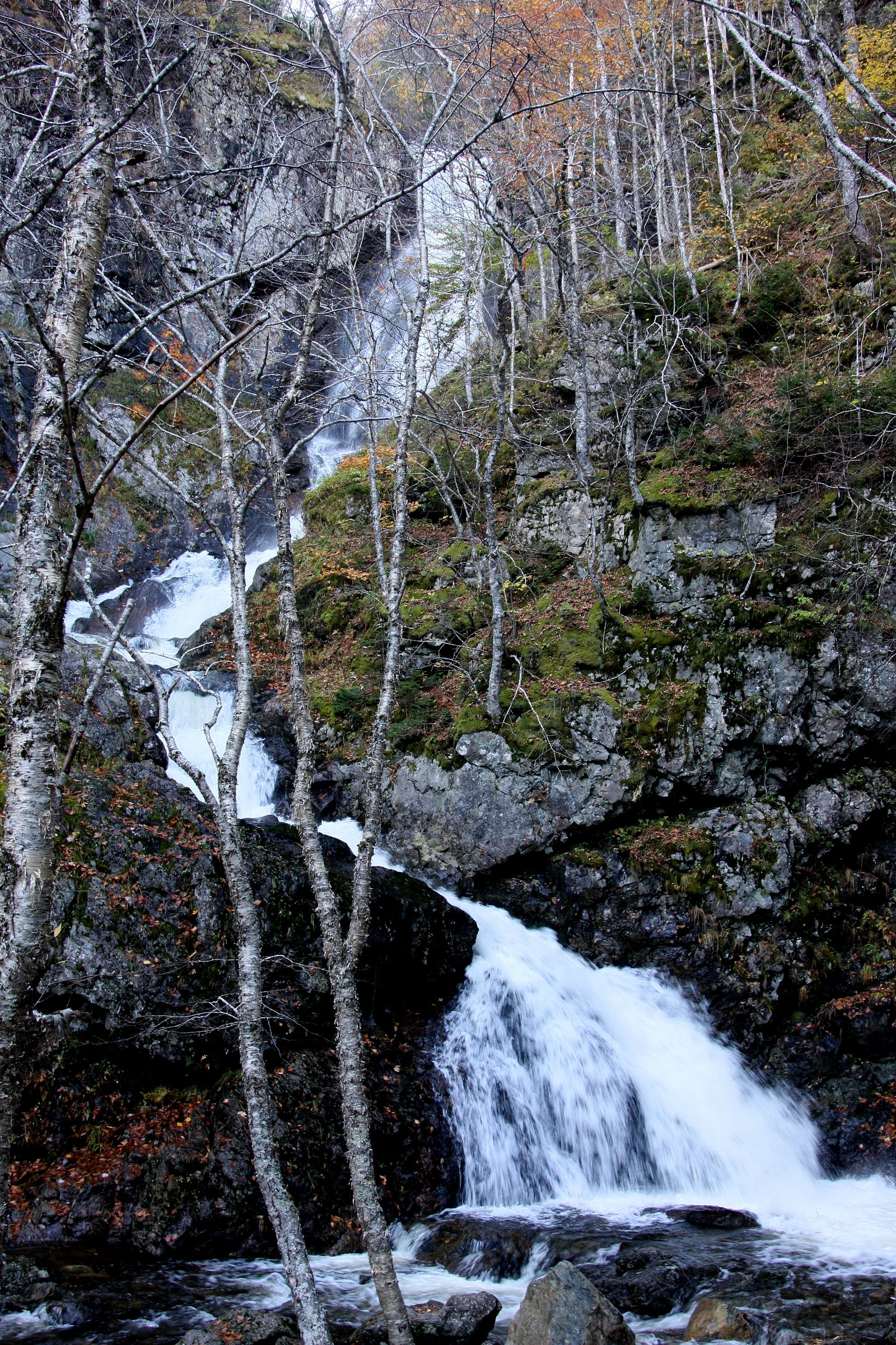
About Twin Falls
Twin Falls (Nova Scotia) is a pair of cascades located on a small stream in central Cape Breton Island, roughly between Baddeck and Sydney. The falls consist of two closely spaced drops and are best appreciated from nearby viewpoints or short trail access. Flow and appearance vary seasonally and after rainfall. Exact measured height and official managed facilities are not well documented and may be limited.
Nearby Falls Worth Visiting
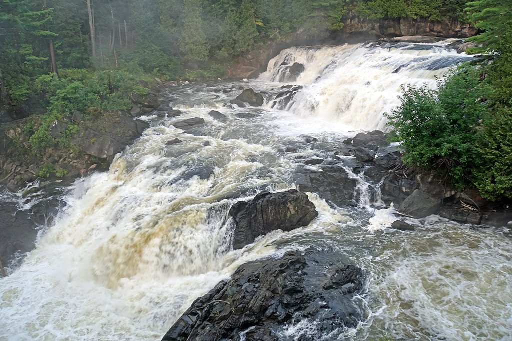
Uisge Ban Falls, the tallest waterfall in Nova Scotia at 101 metres, lies 15.9 kilometres to the southwest. Also nearby: North River Falls (32 m, 6.9 km).
Trail & Hike Details
Trail Description
Reported access typically involves a short walk from a roadside pullout through mixed forest to a viewpoint. Trails may be unmaintained or informal, with roots, rocks, and muddy sections. Reaching the water's edge or the base of the falls may require scrambling over wet rocks and steep banks. Exact trail routing and distance vary by where you park; bring a GPS or offline map and be prepared for minimal signage.
What to Expect
Expect a natural, relatively undeveloped waterfall setting. The falls appear as two nearby cascades and may form small plunge pools. Water flow is highest in spring and after heavy rains; summer flows can be lower. There are likely no facilities (toilets, trash bins, or staffed information). Terrain near the falls can be slippery and steep; vegetation and bugs (mosquitoes, black flies) are common in warmer months.
Accessibility
The site is likely not wheelchair accessible. Trails appear informal and may include uneven, muddy, or steep sections. No official accessible infrastructure is documented.
Frequently Asked Questions
🐶 Are Dogs Allowed at Twin Falls?
❌ Dogs are not allowed
Are There Any Fees or Permits Required?
🆖 No fees required
🏊 Is There Swimming at Twin Falls?
❌ Swimming is not allowed
When to Visit
Spring and early summer for the most robust water flow; early fall for foliage color and generally stable weather. Summer offers easiest access but may have lower flows and more insects. Winter access may be limited or hazardous due to ice/snow, only recommended for well-equipped winter hikers and with local knowledge.
Seasonal Access
The best time to visit is Spring, Summer, Fall, and Winter. Check with the managing park or local authority for current conditions.
Safety Information
Hazards include slippery rocks, steep banks, cold and fast-moving water, sudden increases in flow after rain, no lifeguards, and limited or no cell service in some areas. Wear appropriate footwear, stay back from edges, supervise children closely, and avoid risky behavior such as climbing wet rocks. Check local weather and road conditions before visiting.
Current Water Conditions
1.7 m³/s
Current discharge — how much water is flowing
About average for this time of year
Based on 59 years of record
0.55 m
Water depth at gauge
7-Day Discharge Trend
What does this mean for your visit?
Flow is about average for this time of year.
About This Gauge
This gauge is on a nearby waterway and may not reflect exact conditions at the falls.
7-Day Flow Outlook
Based on the WSC gauge INDIAN BROOK AT INDIAN BROOK (11 km away).
Today
Moderate
1.9 m³/s
6/10Tomorrow
Moderate
2.0 m³/s
6/10Tue
Moderate
1.9 m³/s
8/10Wed
Moderate
2.1 m³/s
6/10Thu
Moderate
2.1 m³/s
6/10Fri
Moderate
1.8 m³/s
6/10Sat
Moderate
1.7 m³/s
6/10Best window: Tue — moderate flow, cloudy (trip score 8/10).
Best time of year: this gauge typically runs highest from early April to late May, peaking in May.
How we calculate this
This is a transparent outlook, not a precise forecast. We take the waterfall's current flow strength (how it ranks against its historical normal for today, from the nearest WSC stream gauge), carry that ranking forward along the gauge's seasonal curve, and nudge it for forecast rain. Confidence is highest for the next day or two and falls further out. Always check official conditions and your own judgment before visiting — high flows can be dangerous.
Know when to go.
Get a free email alert when waterfalls near Baddeck hit peak flow. We only send when conditions are worth the trip — no weekly newsletters, no spam.
Weather Forecast
Location & Access
Getting There
Coordinates: 46.3177, -60.651. Access is typically by car from Baddeck (about 14.8 miles) or Sydney (about 28.7 miles). Use a GPS device or mapping app with the coordinates. Final approach may be on secondary or gravel roads; expect limited signage. Visitors should plan for a short walk from the nearest parking/turnout; exact trailhead location may vary by route and local maps.
Get Directions on Google MapsParking
Parking is likely informal (small roadside pullout or field parking). There is likely no official lot, restroom, or managed facilities. Park safely off the road without blocking access and follow local regulations.
Elevation
31 metres above sea level
Coordinates
46.317679° N, -60.650994° W
Visitor Tips & Gear
• Use the provided coordinates in a reliable mapping app to find the best roadside pullout. • Wear sturdy, waterproof footwear, rocks near the falls are slippery. • Expect minimal or no signage and no maintained parking, don’t block the shoulder. • Bring insect repellent in spring and summer and dress in layers; weather can change quickly. • Leave no trace: pack out trash and avoid disturbing vegetation. • Avoid getting too close to edges or attempting technical climbs without gear. • Check local road conditions (gravel roads may require slower driving) and recent trip reports if available.
Where to Stay
Browse vacation cabins and private rentals nearby
Unique outdoor stays — tents, yurts, and treehouses
Rent a campervan or RV for your waterfall road trip
Some links are affiliate links. We may earn a commission at no extra cost to you.
Nearby Campground
joyful journeys
8.1 km away
Additional Information
Nearby Attractions
Baddeck and the Alexander Graham Bell National Historic Site (in Baddeck) are the nearest notable visitor attractions. The Cabot Trail and portions of Cape Breton Island's scenic routes are within driving distance. Bras d'Or Lake region offers additional outdoor recreation.
Wildlife
Typical Cape Breton wildlife may be present: white-tailed deer, small mammals, songbirds, migratory waterfowl, and occasionally black bear. Expect insects such as mosquitoes and black flies in warmer months. Observe wildlife from a distance.
Cities near Twin Falls
Nearby Waterfalls
Other waterfalls named Twin Falls
21 other waterfalls share this name across Canada.
Writing about Twin Falls? Embed this waterfall on your site for free.