
Photo Credits (5)
Difficulty
Easy
Trail Length
1.5 miles
Trail Type
Out And Back
About Twin Falls
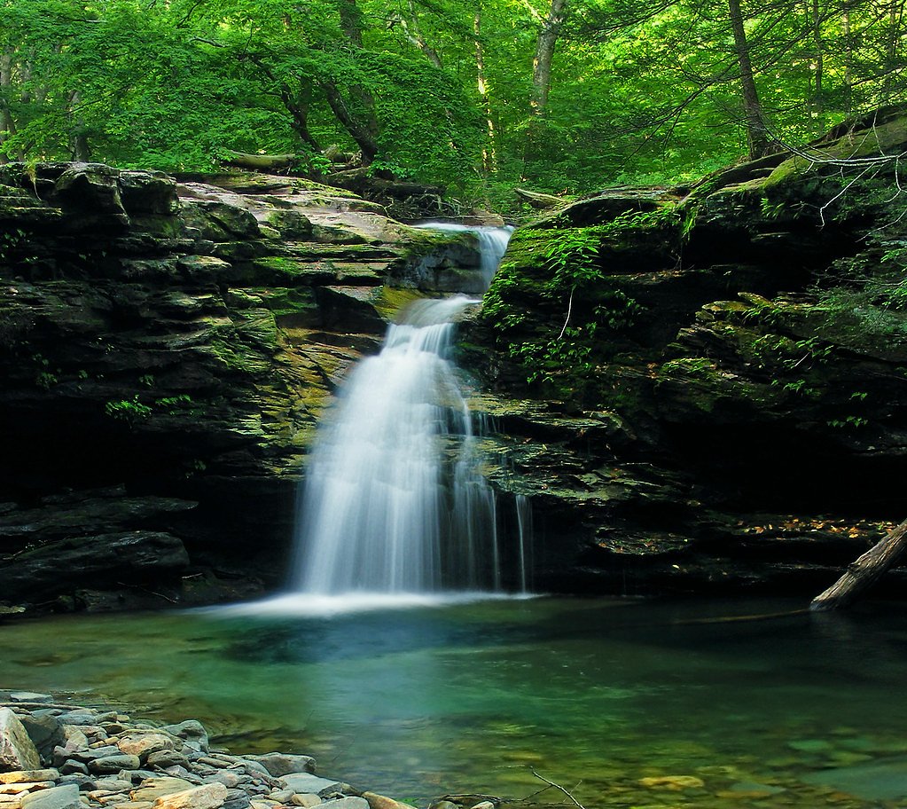
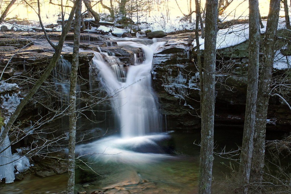
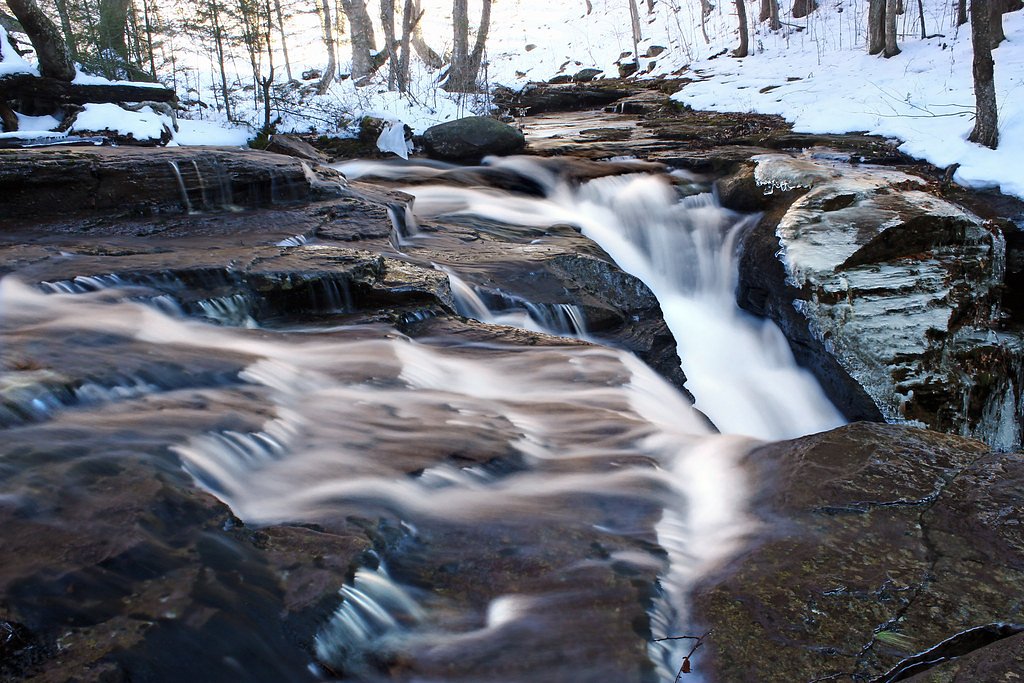
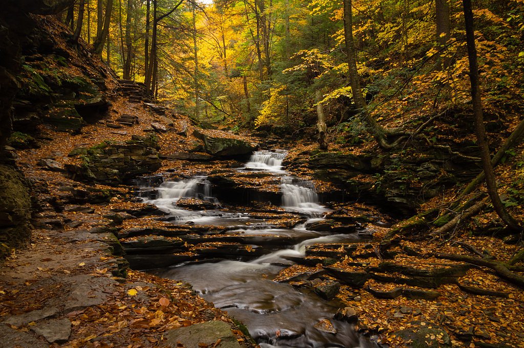
Twin Falls is a peaceful, easy-to-reach waterfall tucked into State Game Land 013 in Pennsylvania. The site is owned by OTHS and managed as a Special Recreation Management Area (SRMA) by SFW, so the setting combines a lightly developed access with a feeling of remote forest. As its name implies, Twin Falls features two parallel cascades tumbling through a wooded gorge, making it a rewarding spot for photographers and families looking for a short nature outing. The approach is short but scenic: the trail drops into a leafy hollow and opens onto a clear view of the cascades. Because the falls are on State Game Land 013, visitors should follow SRMA guidelines and respect seasonal regulations. The area’s quiet, wooded character makes it ideal for a peaceful afternoon visit or a brief side-trip on a longer day of exploring the region.
The Setting
Twin Falls sits at 1,381 feet within State Game Land 013, fed by the Fishing Creek, in the foothills of Pennsylvania.
Nearby Falls Worth Visiting
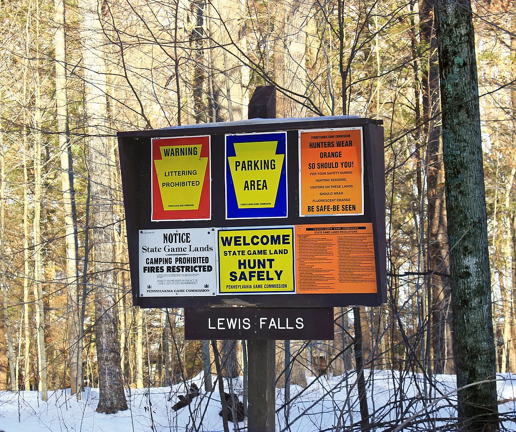
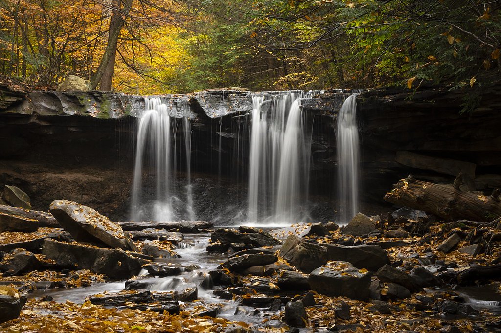
Ganoga Falls (94 ft) lies 3.8 miles to the east. Also nearby: Lewis Falls (25 ft, 0.5 mi) and Oneida Falls (13 ft, 3.6 mi).
Trail & Hike Details
Trail Description
Trail type: out-and-back. Distance: 2.4 miles total. Elevation gain: ~350 feet. Difficulty: moderate. The path to Twin Falls is a well-trodden forest trail that descends into the hollow where the cascades sit. Expect natural tread with roots and occasional rocky or muddy sections, especially after rain; sturdy footwear is recommended. The route is non-technical and leads directly to the base and viewpoints of the falls. Note that this site lies within State Game Land 013 (managed as an SRMA by SFW), so follow posted rules and seasonal closures where indicated.
What to Expect
Dogs are welcome.
Accessibility
The trail is not wheelchair accessible. Uneven terrain and elevation changes require steady footing.
Frequently Asked Questions
🐶 Are Dogs Allowed at Twin Falls?
✅ Dogs are allowed
Are There Any Fees or Permits Required?
🆖 No fees required
🏊 Is There Swimming at Twin Falls?
❌ Swimming is not allowed
When to Visit
Spring and early summer are ideal for visiting Twin Falls, as the water flow is typically strongest during these seasons. Fall offers beautiful foliage, while winter may provide a unique frozen waterfall view.
Seasonal Access
The best time to visit is Spring, Summer, and Fall. Winter access may be limited.
Safety Information
Exercise caution around the falls, as rocks can be slippery. Avoid visiting during heavy rain or icy conditions. Be aware of ticks and other wildlife.
Current Water Conditions
3.15 ft
Water depth at gauge
About This Gauge
Know when to go.
Get a free email alert when waterfalls near Jamison City hit peak flow. We only send when conditions are worth the trip — no weekly newsletters, no spam.
Weather Forecast
The Terrain, Seen by LiDAR
Aircraft-mounted lasers measured this ground to within inches. Trees and buildings are digitally stripped away, leaving the bare shape of the land the water has carved.
1-meter lidar measures about 94 feet of descent through Twin Falls, a steep tiered drop rather than a single free fall. The brink sits at about 1,383 feet above sea level.
Steep ground runs through the entire stretch: about 220 feet of descent in the 500 feet above the pin and 143 feet in the 500 feet below it. Facing southwest, the falls glow in afternoon and evening light.
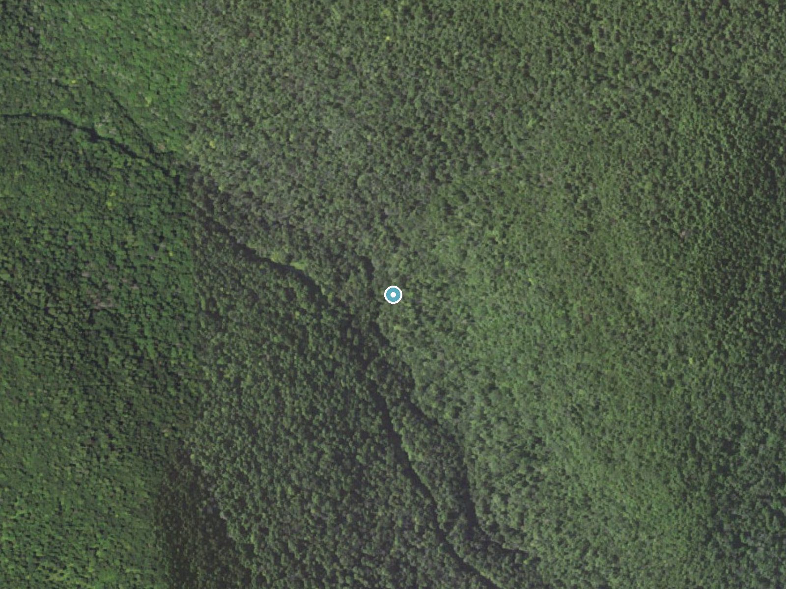
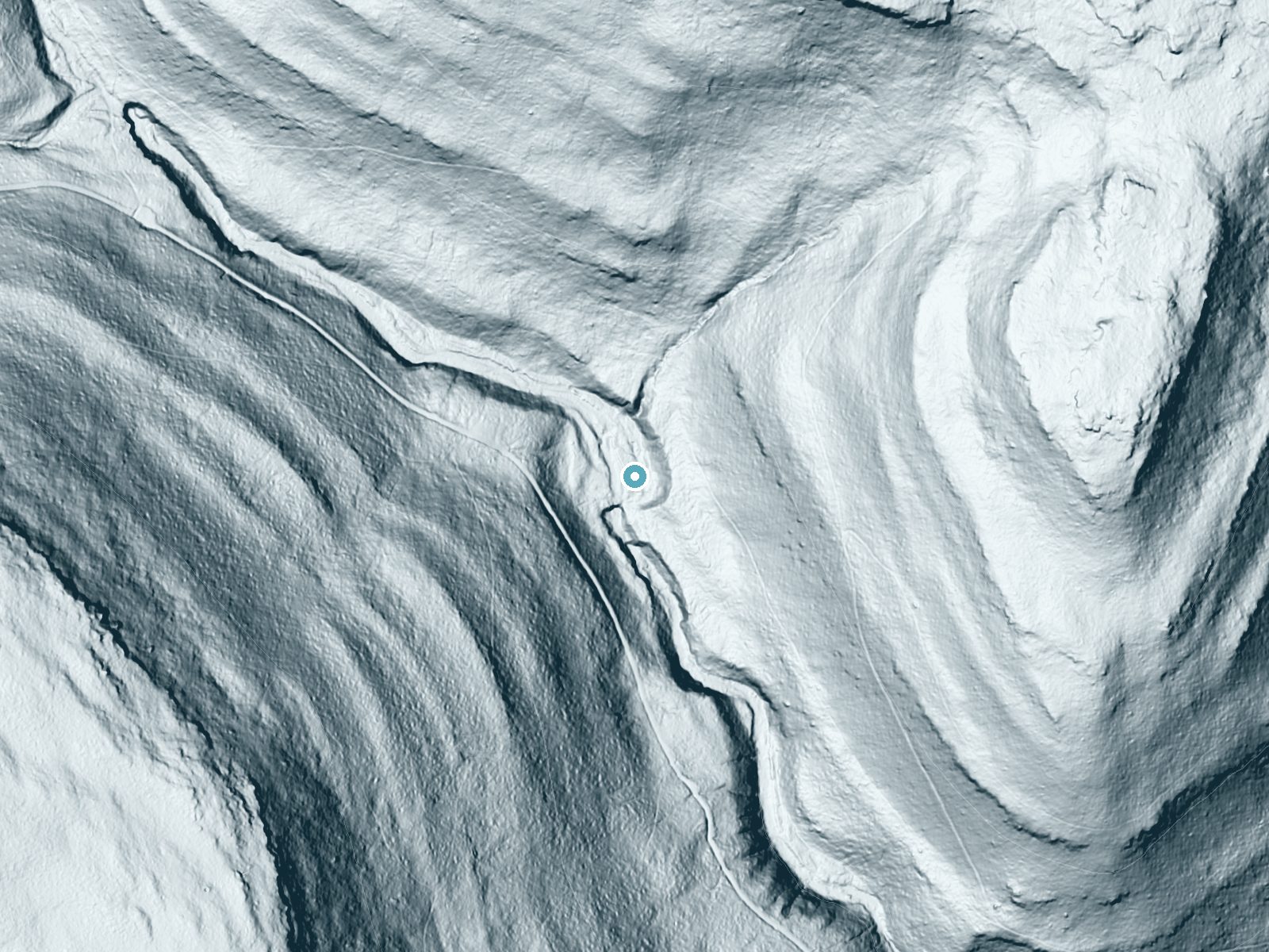
Drag to compare. The dot marks the waterfall. The frame is about a mile across.
- Ground elevation
- 1,383 feet
- Measured by 1-meter lidar
- Drop at the falls
- About 94 feet
- Change in ground height within ~250 feet of the falls
- Faces
- Southwest
- Glows in afternoon and evening light.
A slice through the lidar ground surface, from above the falls to downstream (heading southwest).
Elevation data: USGS 3D Elevation Program. Aerial imagery: USGS The National Map. Public domain.
Location & Access
Getting There
Twin Falls is located approximately 2.3 miles from Jamison City, 7.7 miles from Waller, and 8.0 miles from Benton. The coordinates for the falls are 41.3342, -76.3563. Access is typically via dirt roads and trails in the surrounding forest area.
Get Directions on Google MapsParking
Parking is available near the trailhead, but spaces may be limited. Visitors should be prepared for potentially uneven or unpaved parking areas.
Elevation
1,381 feet above sea level
Coordinates
41.334247° N, -76.356329° W
Land Management
Managed by SFW
Visitor Tips & Gear
Wear sturdy footwear as the trail may be muddy or slippery. Bring insect repellent during warmer months. Arrive early to secure parking, especially on weekends.
Where to Stay
Paper Mill Pines Bed and Breakfast

CHARMING EXECUTIVE VICTORIAN MANSION w/ FREE PARKING - near Bucknell

Quality Inn New Columbia-Lewisburg

Comfort Inn Williamsport
Browse vacation cabins and private rentals nearby
Unique outdoor stays — tents, yurts, and treehouses
Rent a campervan or RV for your waterfall road trip
Some links are affiliate links. We may earn a commission at no extra cost to you.
Additional Information
Nearby Attractions
Sullivan Falls, Ricketts Glen State Park, and Benton Dam are nearby attractions worth exploring.
Wildlife
The area is home to various bird species, deer, and small mammals. Visitors may also encounter insects such as mosquitoes and ticks.
Cities near Twin Falls
Nearby Waterfalls
Other waterfalls named Twin Falls
21 other waterfalls share this name across the U.S.
Writing about Twin Falls? Embed this waterfall on your site for free.