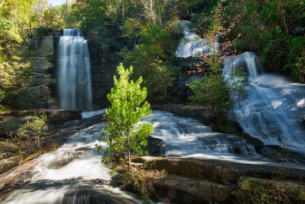
Maidenhair Falls
By Armen Suny · Last verified May 2026
Difficulty
Moderate
Trail Length
2.5 miles
Trail Type
Out And Back
Elevation Gain
300 ft
About Maidenhair Falls
Maidenhair Falls sits just outside Cashiers, North Carolina, framed by a lush carpet of mosses and ferns that give the cascade its delicate, botanical feel. The falls are a quiet, picturesque spot—an ideal destination for photographers and nature lovers who appreciate a peaceful, forested setting and the soft, verdant ambience that often shrouds the stream. Reaching Maidenhair requires a bit of effort, which helps keep the area feeling like a hidden gem. The waterfall is reached via a roughly 2.5-mile out-and-back route with about 300 feet of elevation gain; the approach rewards hikers with shaded woodland and the hush of understory growth, making it a refreshing half-day outing in good hiking weather.
The Setting
Maidenhair Falls sits at 3,661 feet along the Tuckasegee River, in the mountains of North Carolina.
Nearby Falls Worth Visiting
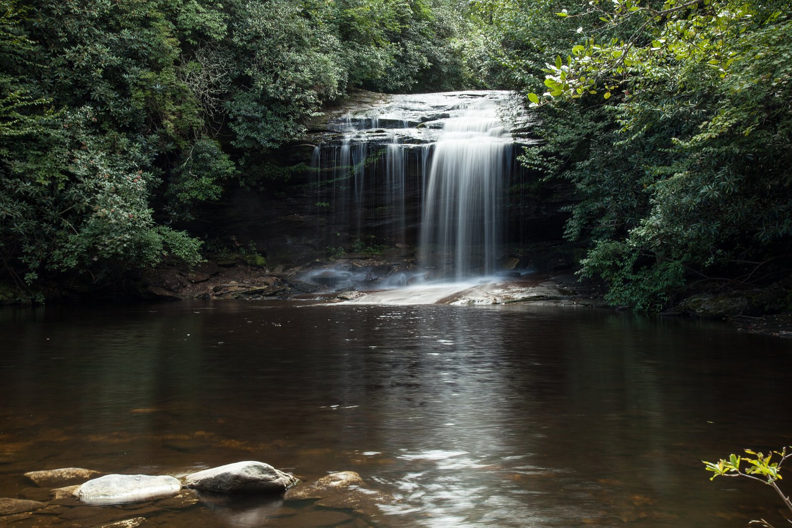
Schoolhouse Falls (20 ft) lies 2.5 miles to the northeast.
Trail & Hike Details
The Approach
The moderate 2.5-mile out-and-back trail gains 300 feet of elevation on the way to the falls.
Trail Description
Out-and-back trail, 2.5 miles round trip with approximately 300 feet of elevation gain. Difficulty: Moderate. The route traverses a forested singletrack that can be uneven in spots—expect roots, rocks, and occasional slick surfaces near the stream—so sturdy footwear and careful footing are recommended. The path is not heavily trafficked, offering a peaceful hike to the falls; plan on a steady, moderate-paced ascent and descent on natural surface trail.
What to Expect
Visitors can expect a tranquil hike through a wooded area leading to a beautiful waterfall surrounded by lush vegetation. The falls are particularly scenic after rainfall, but the trail may be muddy during wet conditions.
Accessibility
The trail is not wheelchair accessible. Uneven terrain and elevation changes require steady footing.
Frequently Asked Questions
🐶 Are Dogs Allowed at Maidenhair Falls?
❌ Dogs are not allowed
Are There Any Fees or Permits Required?
🆖 No fees required
🏊 Is There Swimming at Maidenhair Falls?
❌ Swimming is not allowed
When to Visit
Spring and early summer are ideal for visiting Maidenhair Falls, as the water flow is typically stronger, and the surrounding vegetation is vibrant. Fall offers beautiful foliage, while winter may provide a quieter experience but could have icy conditions.
Seasonal Access
The best time to visit is Spring, Summer, and Fall. Winter access may be limited.
Safety Information
The trail may be slippery after rain, and there are uneven surfaces and roots along the path. Visitors should wear appropriate footwear and exercise caution near the waterfall. Cell phone service may be limited in the area.
Current Water Conditions
60 ft³/s
Current discharge — how much water is flowing
Much lower than usual for this time of year
Based on 21 years of record
3.98 ft
Water depth at gauge
7-Day Discharge Trend
What does this mean for your visit?
Flow is well below normal for this time of year, so the waterfall may be a trickle.
About This Gauge
This gauge is on a nearby waterway and may not reflect exact conditions at the falls.
7-Day Flow Outlook
Based on the USGS gauge TUCKASEGEE RIVER AT SR 1172 NR CULLOWHEE, NC (19 km away).
Today
Low
68 cfs
3/10Tomorrow
Moderate
72 cfs
4/10Wed
Moderate
72 cfs
4/10Thu
Moderate
77 cfs
4/10Fri
Moderate
85 cfs
4/10Sat
Moderate
82 cfs
4/10Sun
Moderate
78 cfs
4/10Best window: Tomorrow — moderate flow, mostly sunny then chance showers and thunderstorms (trip score 4/10).
Best time of year: this gauge typically runs highest from late December to late January, peaking in January.
How we calculate this
This is a transparent outlook, not a precise forecast. We take the waterfall's current flow strength (how it ranks against its historical normal for today, from the nearest USGS stream gauge), carry that ranking forward along the gauge's seasonal curve, and nudge it for forecast rain. Confidence is highest for the next day or two and falls further out. Always check official conditions and your own judgment before visiting — high flows can be dangerous.
Know when to go.
Get a free email alert when waterfalls near Cashiers hit peak flow. We only send when conditions are worth the trip — no weekly newsletters, no spam.
Weather Forecast
Location & Access
Getting There
Maidenhair Falls is located approximately 4 miles from Cashiers, North Carolina. The trailhead is not well-marked, and visitors may need to rely on GPS coordinates (35.1409, -83.0424) or local guidance to locate the starting point.
Get Directions on Google MapsParking
Parking availability is limited and may be roadside or at a small pull-off area near the trailhead. Visitors should plan accordingly and avoid blocking traffic.
Elevation
3,661 feet above sea level
Coordinates
35.140928° N, -83.042364° W
Visitor Tips & Gear
Start your hike early to avoid crowds and ensure you have enough daylight for the return trip. Bring a map or GPS device, as the trail may not be well-marked. Be prepared for muddy or slippery sections, especially after rain.
As an Amazon Associate, we earn from qualifying purchases.
With 2.5 miles and 300 ft of elevation gain, sturdy boots and trekking poles will help on this moderate trail. Sun exposure on the trail makes good sun protection a must in summer.

Columbia Watertight II Rain Jacket
Packs into its own pocket, seam-sealed, and keeps you dry from spray and surprise rain.

Earth Pak Waterproof Dry Bag
Keeps your phone and gear dry when waterfall mist soaks everything else.

Waterproof Phone Pouch (AiRunTech)
Cheap insurance — take photos right next to the falls without killing your phone.

Timberland Euro Sprint Mid Waterproof
Trusted waterproof boot with premium leather and grippy rubber sole — reliable on rocky, wet trails.

TrailBuddy Trekking Poles
Lightweight aluminum, cork grips, and flip-locks that actually hold — a best-seller for good reason.

Polarized Sunglasses (Knockaround)
Cuts glare off the water so you actually see the falls — and your photos turn out better too.
Where to Stay

Foxhunt at Sapphire Valley

Fairway Forest

The Wells Cashiers

Spectacular Mountain Views With Your Own Private Hot Tub!
Browse vacation cabins and private rentals nearby
Unique outdoor stays — tents, yurts, and treehouses
Rent a campervan or RV for your waterfall road trip
Some links are affiliate links. We may earn a commission at no extra cost to you.
Nearby Campground
BALSAM LAKE LODGE
8.8 miles away · 1 sites
Overview Balsam Lake Lodge is nestled in the center of the 39,000-acre Roy Taylor Forest within the Nantahala National Forest. The lodge overlooks Balsam Lake and offers spectacular mountain views.The lodge opened its doors to the public when the Forest Service acquired the dwelling and lake in 1982. Since then groups have rented the lodge for meetings, recreation and environmental activities. NOTE: Balsam Lake Lodge is not a campground and has no campsites available for sewer, water, or electric
Book on Recreation.govAdditional Information
Nearby Attractions
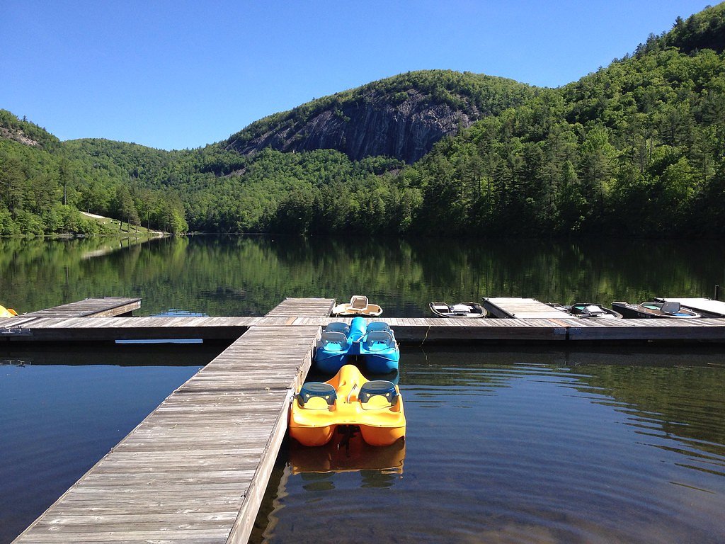
Nearby attractions include Whitewater Falls, Lake Glenville, and the town of Cashiers, which offers dining and shopping options.
Wildlife
The area is home to various wildlife, including birds, deer, and small mammals. Visitors should also be aware of the potential presence of snakes and other forest creatures.
Cities near Maidenhair Falls
Nearby Waterfalls
 CC
CC
Other waterfalls named Maidenhair Falls
2 other waterfalls share this name across the U.S.
Writing about Maidenhair Falls? Embed this waterfall on your site for free.