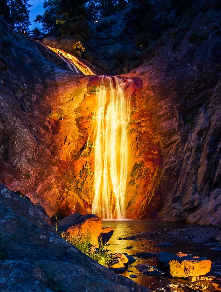
Bridal Veil Falls
Colorado • 365 ft
By Armen Suny · Last verified Mar 2026
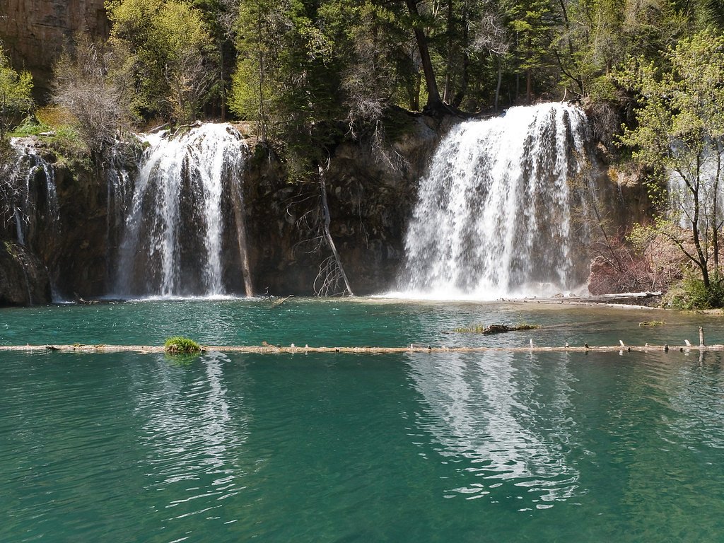
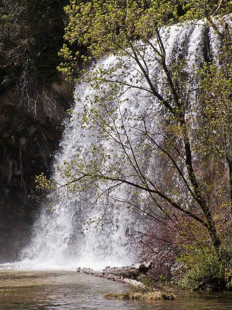
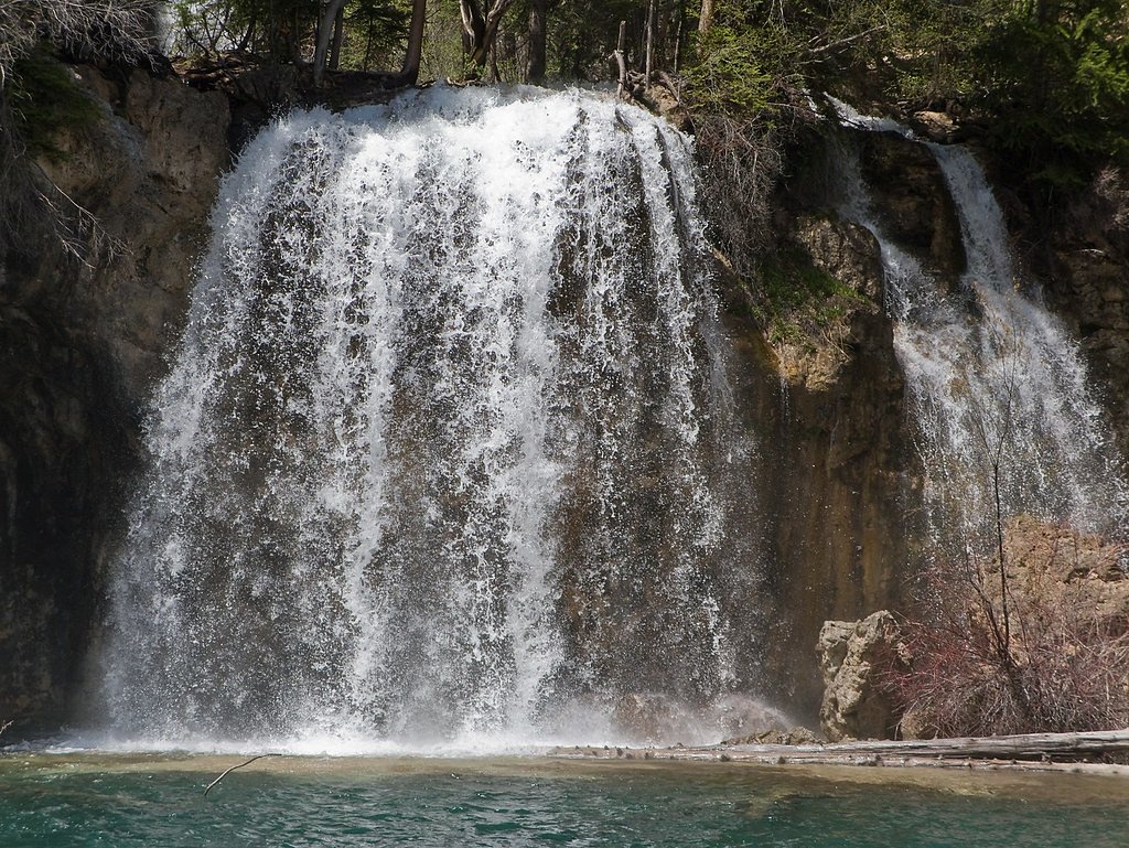
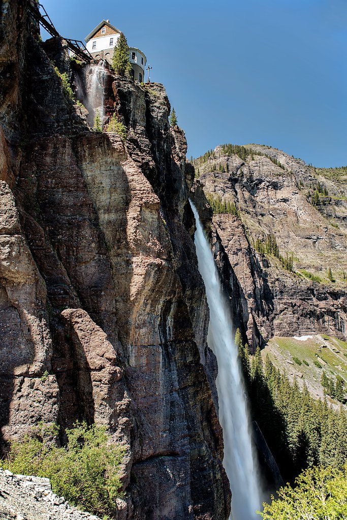
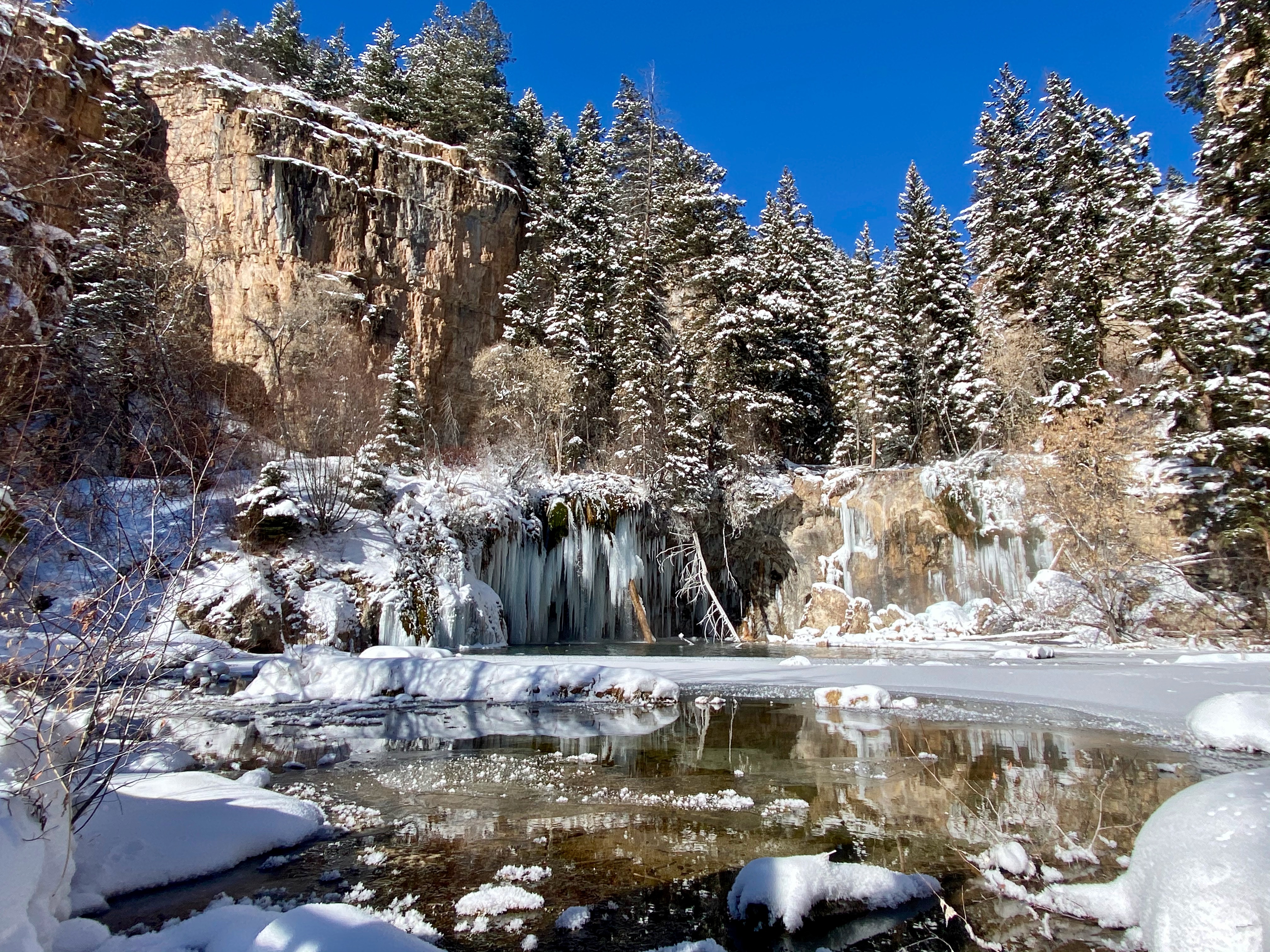
Photo Credits (5)
Difficulty
Moderate
Trail Length
2.4 miles
Trail Type
Out And Back
Elevation Gain
350 ft
About Bridal Veil Falls
Bridal Veil Falls towers above the Telluride valley as Colorado’s tallest free-falling waterfall, plunging roughly 365 feet down a dramatic cliff face. Nestled within the White River National Forest and managed by the U.S. Forest Service, the falls are a favorite for hikers and photographers seeking that classic alpine cascade and sweeping mountain vistas. Access to the falls is associated with the U.S. Forest Service’s Spouting Rock Trail (Trail #1850.1). The typical approach is a 2.4-mile out-and-back hike with about 350 feet of elevation gain and a moderate overall difficulty, though the official USFS spur to the falls includes a very short, more technical segment (see trail description). The setting feels wild and high-country—bring sturdy footwear and plan for changing weather as you enjoy one of Colorado’s most iconic waterfalls.
The Setting
Bridal Veil Falls sits at 7,211 feet within White River National Forest, fed by the Colorado River, in the high mountains of Colorado. At 365 feet, it is among the taller waterfalls in Colorado.
Height: 365 feet
Trail & Hike Details
The Approach
The moderate hike follows Spouting Rock (#1850.1), a 2.4-mile out-and-back trail over natural surface. Expect 350 feet of elevation gain. The trail is highly developed (Class 4).
USFS Trail
SPOUTING ROCK #1850.1
Trail Class
Highly Developed
Surface
USFS Segment
0.08 miTrail Description
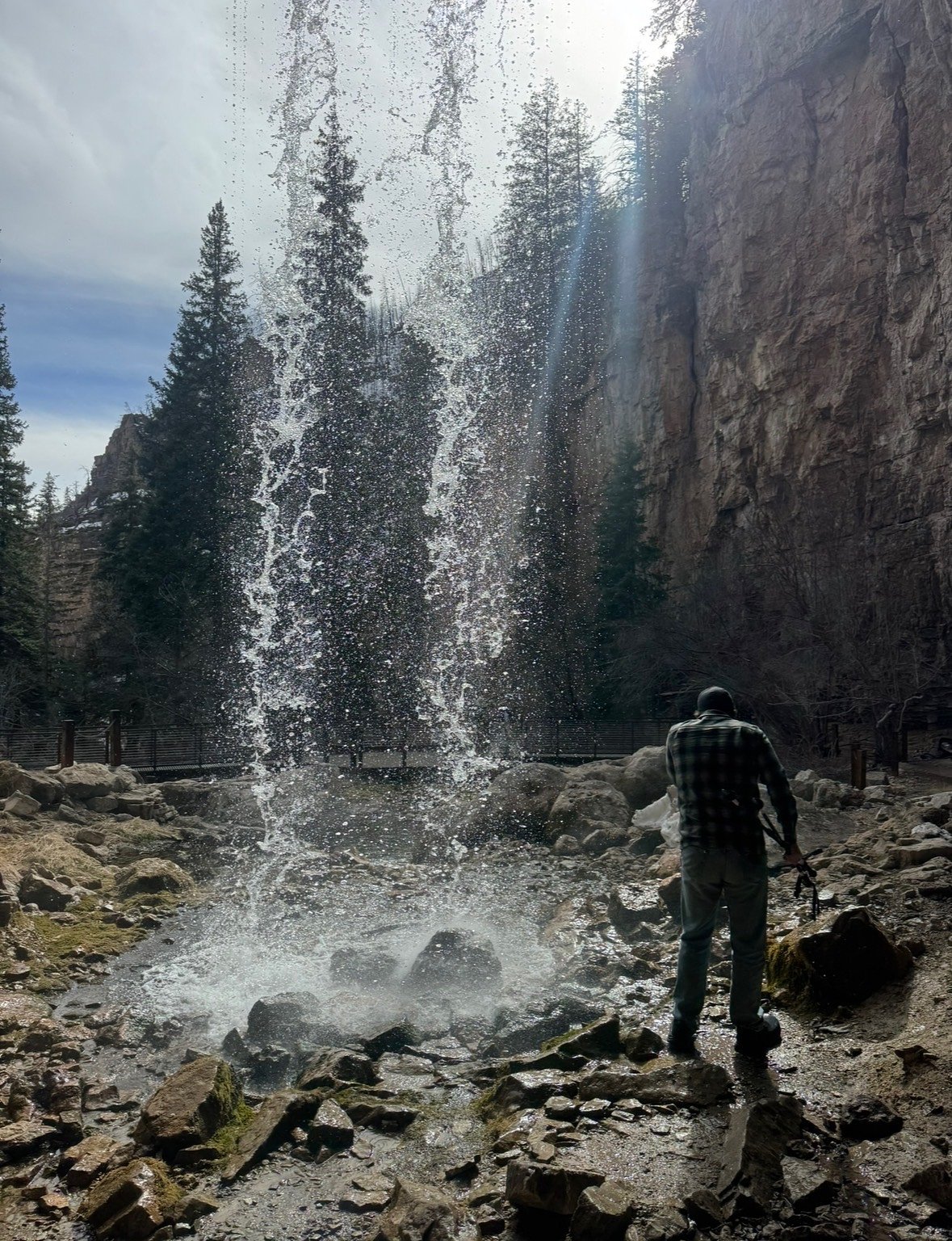
The commonly used route to Bridal Veil Falls is a 2.4-mile out-and-back hike with approximately 350 feet of elevation gain and is rated moderate. The U.S. Forest Service identifies a short official spur—Spouting Rock Trail, Trail #1850.1—that is roughly 0.08 miles long. That USFS segment is listed as Class 4 on native material, so the final approach is a brief, more rugged section on natural surface; the remainder of the approach is conventional trail. Expect uneven native footing and use caution on the short technical portion.
What to Expect
The falls plunge a dramatic 365 feet. Dogs are welcome.
Accessibility
The trail is not wheelchair accessible. Uneven terrain and elevation changes require steady footing.
Frequently Asked Questions
🐶 Are Dogs Allowed at Bridal Veil Falls?
✅ Dogs are allowed
Are There Any Fees or Permits Required?
🆖 No fees required
🏊 Is There Swimming at Bridal Veil Falls?
❌ Swimming is not allowed
When to Visit
The best time to visit is during late spring through early fall when the trail is clear of snow and the waterfall is flowing at its fullest.
Seasonal Access
The best time to visit is Spring, Summer, and Fall. Access roads and trails may close during winter due to snow. Check with White River National Forest for seasonal road closures.
Safety Information
The trail is steep and can be slippery, especially after rain or during winter. Hikers should exercise caution and wear appropriate footwear. Be prepared for sudden weather changes in the mountains.
Current Water Conditions
1,360 ft³/s
Current discharge — how much water is flowing
Much lower than usual for this time of year
Based on 85 years of record
2.77 ft
Water depth at gauge
63°F
CoolRefreshing for swimming
7-Day Discharge Trend
What does this mean for your visit?
Flow is well below normal for this time of year, so the waterfall may be a trickle. Water temperature is a refreshing 63 degrees F, good for a quick swim. Expect slightly cloudy visibility and adequate dissolved oxygen levels. PH is normal at 8.4 and mineral content is moderate.
Water Quality
Dissolved Oxygen
GoodAdequate oxygen levels
pH
NormalWithin healthy range (6.5-8.5)
Water Clarity
Slightly cloudyMinor sediment present
Conductance
Dissolved minerals in the water
About This Gauge
This gauge is on a nearby waterway and may not reflect exact conditions at the falls.
7-Day Flow Outlook
Based on the USGS gauge COLORADO RIVER NEAR DOTSERO, CO (11 km away).
Today
Roaring
1505 cfs
6/10Tomorrow
Roaring
1365 cfs
9/10Sun
Roaring
1184 cfs
9/10Mon
Roaring
1126 cfs
9/10Tue
Roaring
1065 cfs
9/10Wed
Roaring
1032 cfs
9/10Thu
Roaring
1013 cfs
9/10Best window: Tomorrow — roaring flow, sunny (trip score 9/10).
Best time of year: this gauge typically runs highest from late April to late July, peaking in June.
How we calculate this
This is a transparent outlook, not a precise forecast. We take the waterfall's current flow strength (how it ranks against its historical normal for today, from the nearest USGS stream gauge), carry that ranking forward along the gauge's seasonal curve, and nudge it for forecast rain. Confidence is highest for the next day or two and falls further out. Always check official conditions and your own judgment before visiting — high flows can be dangerous.
Know when to go.
Get a free email alert when waterfalls near No Name hit peak flow. We only send when conditions are worth the trip — no weekly newsletters, no spam.
Weather Forecast
Location & Access
Getting There
Bridal Veil Falls is located at the end of a rugged road just outside Telluride, Colorado. Visitors can access the falls via a 4x4 vehicle or by hiking up the Bridal Veil Trail.
Get Directions on Google MapsParking
Parking is available near the trailhead, but it can be limited during peak seasons. Visitors should arrive early to secure a spot.
Elevation
7,211 feet above sea level
Coordinates
39.601650° N, -107.191997° W
Land Management
Managed by USFS
Visitor Tips & Gear
Start early to avoid crowds and ensure you have enough daylight for the hike. Bring plenty of water, as the trail can be physically demanding. Check weather conditions before visiting, as the trail can become slippery in wet or icy conditions.
This trail sits at 7,211 ft above sea level
Elevated TrailUV radiation is roughly 29% stronger at this elevation than at sea level, and the dry air accelerates dehydration. Extra sun protection and fluids go a long way.
As an Amazon Associate, we earn from qualifying purchases.

Coppertone Sport SPF 50 Sunscreen
UV intensity jumps ~4% per 1,000 ft — at this elevation you can burn in half the time.

Sun Bum SPF 30 Lip Balm (3-Pack)
Lips have almost no natural UV protection and burn fast in thin, dry mountain air.

Liquid I.V. Electrolyte Packets
You lose moisture ~2x faster at elevation — electrolytes help you absorb water efficiently.

ROCKNIGHT Polarized UV400 Sunglasses
High-altitude glare off rock and water is intense — UV400 lenses block 99%+ of UVA/UVB.
As an Amazon Associate, we earn from qualifying purchases.
With 2.4 miles and 350 ft of elevation gain, sturdy boots and trekking poles will help on this moderate trail. Sun exposure on the trail makes good sun protection a must in summer.

Polarized Sunglasses (Knockaround)
Cuts glare off the water so you actually see the falls — and your photos turn out better too.

Columbia Watertight II Rain Jacket
Packs into its own pocket, seam-sealed, and keeps you dry from spray and surprise rain.

Earth Pak Waterproof Dry Bag
Keeps your phone and gear dry when waterfall mist soaks everything else.

Waterproof Phone Pouch (AiRunTech)
Cheap insurance — take photos right next to the falls without killing your phone.

Timberland Euro Sprint Mid Waterproof
Trusted waterproof boot with premium leather and grippy rubber sole — reliable on rocky, wet trails.

TrailBuddy Trekking Poles
Lightweight aluminum, cork grips, and flip-locks that actually hold — a best-seller for good reason.
Where to Stay

Glenwood Hot Springs Resort

Glenwood Springs Inn

Hotel Glenwood Springs

Quality Inn & Suites On The River
Browse vacation cabins and private rentals nearby
Unique outdoor stays — tents, yurts, and treehouses
Rent a campervan or RV for your waterfall road trip
Some links are affiliate links. We may earn a commission at no extra cost to you.
Nearby Campground
Deep Creek Day Use Area
7.5 miles away · 0 sites
Deep Creek canyon has outstanding scenic qualities related to the sheer-walled canyon, water resources, and riparian vegetation. The Deep Creek area has 5 sites that have picnic tables and fire rings. Camp at designated marked campsites only. Must pack out human waste or use the vault toilet a bit farther up the road. No cat holes are allowed due to the proximity of the creek to the sites. Follow White-Nose Syndrome decontamination protocol if exploring underground in the area.
Book on Recreation.govNearby Hot Springs
Hot springs near No Name, Colorado
Dotsero Warm Springs
Dotsero Warm Springs flows at 90 degrees Fahrenheit along Eagle River corridor public lands, carrying extraordinary dissolved s...
Yampah Hot Springs Vapor Caves
Yampah Hot Springs Vapor Caves occupy a unique niche in Colorado geothermal culture as the source of natural steam caves in the...

Glenwood Springs
Glenwood Springs reaches 124 degrees Fahrenheit and channels through the Sacred Waters facility in downtown Glenwood, standing ...
Iron Mountain Hot Springs
Iron Mountain Hot Springs occupies the banks of the Colorado River in Glenwood Springs at 5,740 feet elevation, where a develop...
South Canyon Hot Springs
South Canyon Hot Springs delivers 118 degrees Fahrenheit at just 7.3 meters from Canyon Creek Road, making this one of Colorado...
Avalanche Ranch Hot Springs
Avalanche Ranch Hot Springs flows at 48 degrees Fahrenheit near Carbondale, making it the coolest thermal feature in this datas...
Looking for a soak after your hike? Explore more hot springs near No Name, Colorado on SoakingSprings.
Explore Colorado springsAdditional Information
Nearby Attractions
Nearby attractions include the town of Telluride, the Telluride Gondola, and other hiking trails in the San Juan Mountains.
Wildlife
Visitors may encounter wildlife such as deer, marmots, and various bird species. Be cautious and avoid feeding or approaching animals.
Cities near Bridal Veil Falls
Nearby Waterfalls
Other waterfalls named Bridal Veil Falls
24 other waterfalls share this name across the U.S.
Writing about Bridal Veil Falls? Embed this waterfall on your site for free.