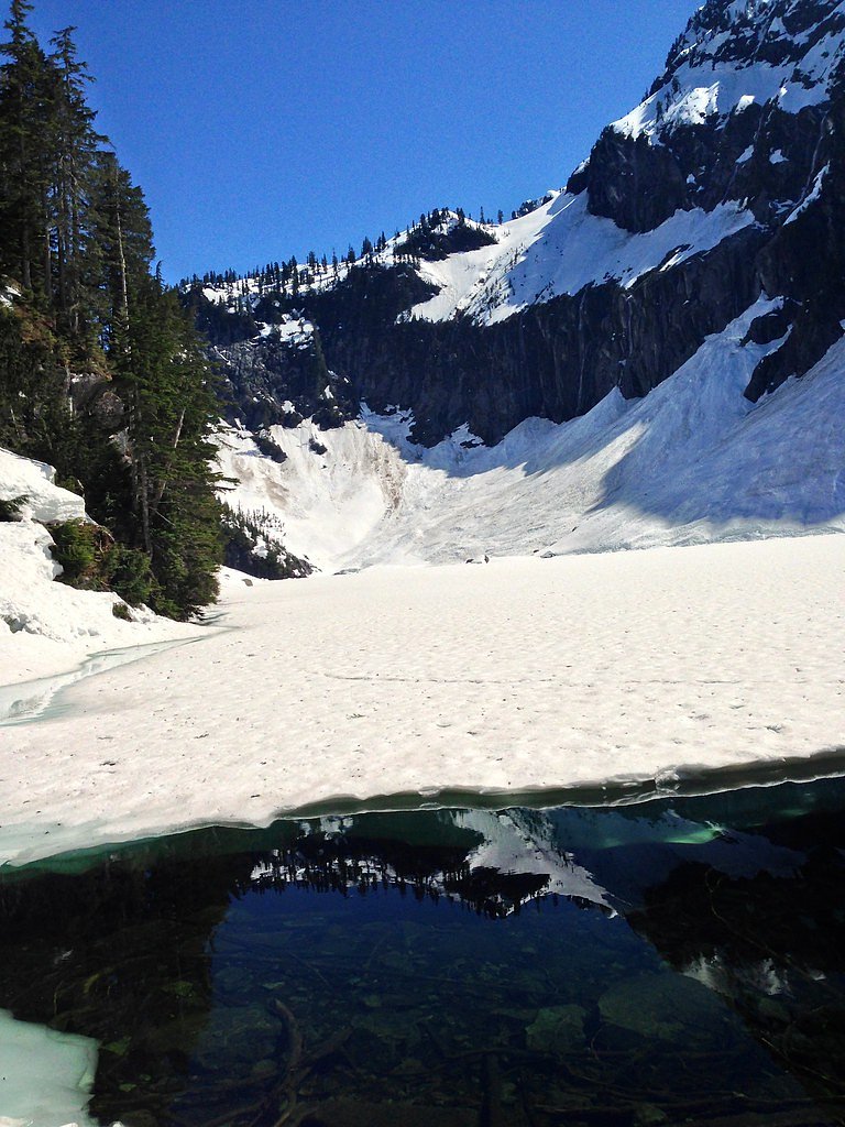

Photo Credits (5)
Difficulty
Moderate
Trail Length
4.0 miles
Trail Type
Out And Back
Elevation Gain
1,000 ft
About Bridal Veil Falls
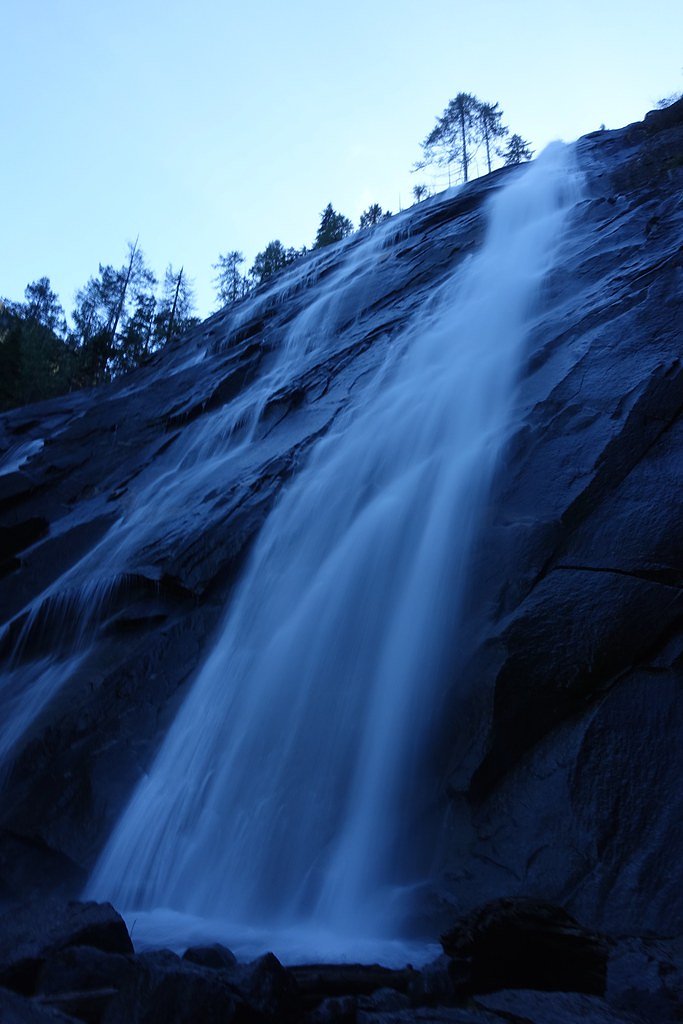
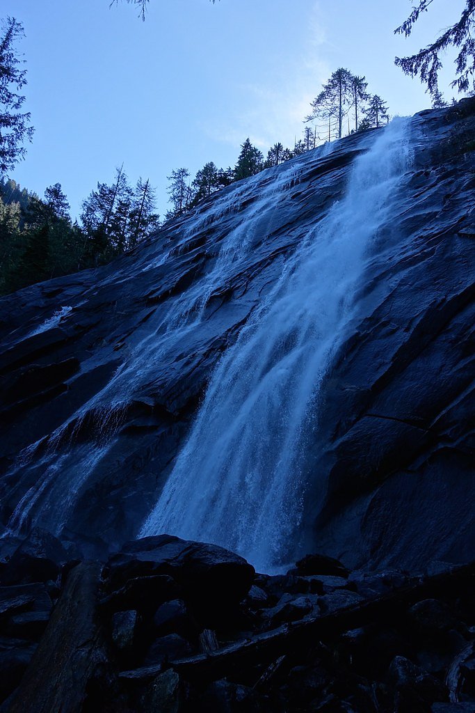
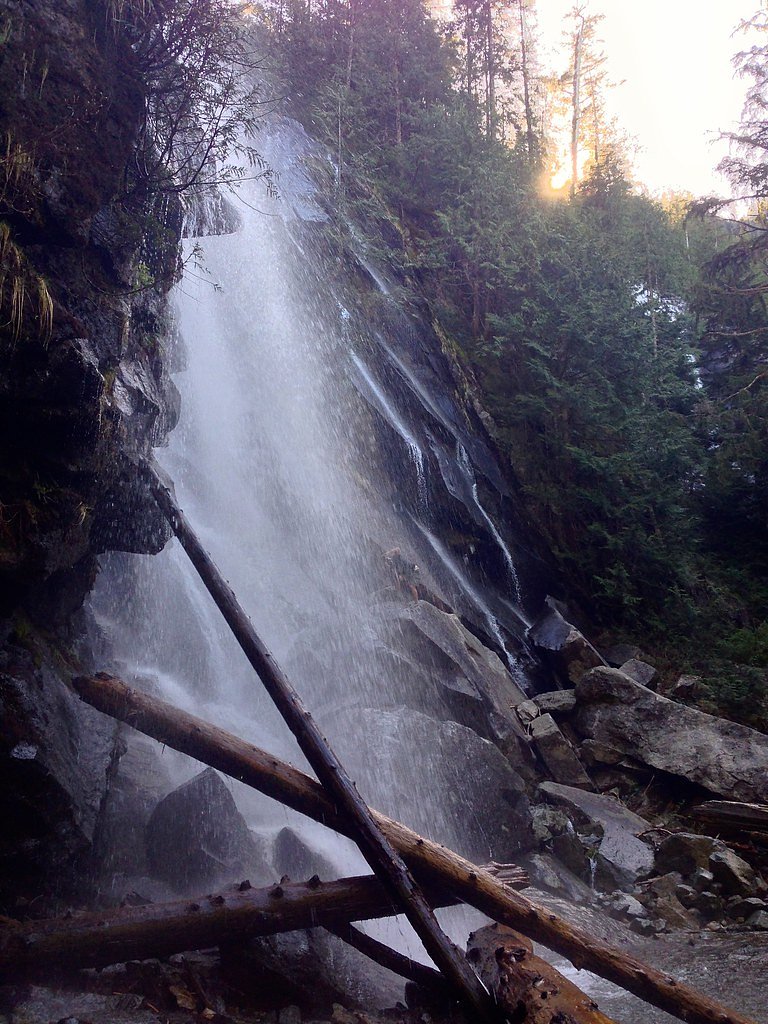
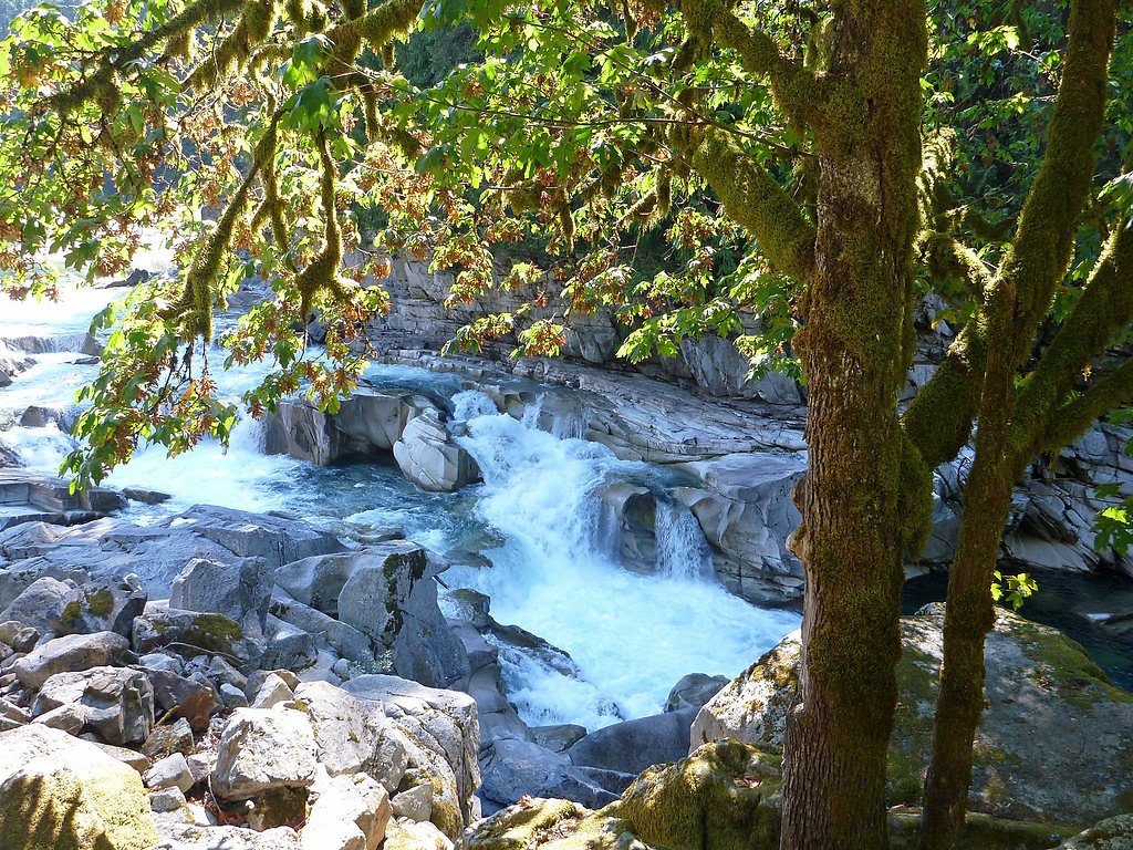
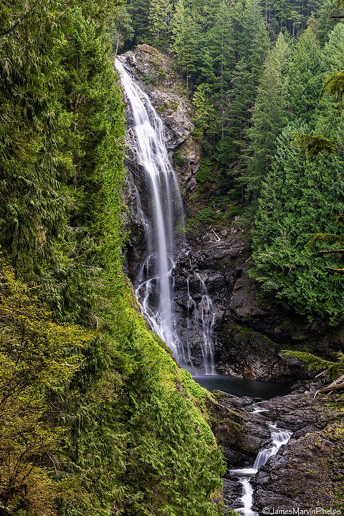
Bridal Veil Falls is a stunning 100-foot waterfall located in the Mount Baker-Snoqualmie National Forest near Gold Bar, Washington. The falls cascade down a rocky cliff face in multiple tiers, creating a picturesque and serene setting. It is a popular destination for hikers and nature enthusiasts.
The Setting
Bridal Veil Falls sits at 1,601 feet within Snoqualmie National Forest, fed by the Skykomish River, in the hills of Washington. At 100 feet, it is among the taller waterfalls in Washington.
Height: 100 feet
Trail & Hike Details
The Approach
The moderate hike follows Bridal Veil Falls (#1068.1), a 4.0-mile out-and-back trail over natural surface. Expect 1,000 feet of elevation gain with grades of 12-20%. The trail is highly developed (Class 4).
USFS Trail
BRIDAL VEIL FALLS #1068.1
Trail Class
Highly Developed
Surface
Avg Grade
USFS Segment
0.30 miTrail Description
The trail to Bridal Veil Falls is part of the Lake Serene Trail. It begins with a well-maintained path through dense forest, crossing several small streams. After about 2 miles, a spur trail leads to the falls. The final approach to the falls involves some steep sections and stairs, but the view of the cascading water is well worth the effort.
What to Expect
The falls cascade 100 feet. Dogs are welcome.
Accessibility
The trail is not wheelchair accessible. Uneven terrain and elevation changes require steady footing.
Frequently Asked Questions
🐶 Are Dogs Allowed at Bridal Veil Falls?
✅ Dogs are allowed
Are There Any Fees or Permits Required?
🤑 Fee: $5.00
Permit required
A Northwest Forest Pass or America the Beautiful Pass is required for parking at the trailhead. Day passes can be purchased for $5.
🏊 Is There Swimming at Bridal Veil Falls?
❌ Swimming is not allowed
When to Visit
Spring and early summer are the best times to visit, as the waterfall is at its fullest due to snowmelt. Fall offers beautiful foliage, while winter may bring icy conditions.
Seasonal Access
The best time to visit is Spring, Summer, and Fall. Winter access may be limited. Check with Snoqualmie National Forest for seasonal road closures.
Safety Information
The trail can be slippery, especially near the falls. Stay on marked paths and avoid climbing on wet rocks. Check weather conditions before your hike, as heavy rain can make the trail hazardous.
7-Day Flow Outlook
Based on the USGS gauge SKYKOMISH RIVER NEAR GOLD BAR, WA (9 km away).
Today
Moderate
422 cfs
4/10Tomorrow
Moderate
385 cfs
8/10Sun
Moderate
371 cfs
8/10Mon
Moderate
403 cfs
5/10Tue
Moderate
416 cfs
5/10Wed
Moderate
405 cfs
5/10Thu
Moderate
427 cfs
5/10Best window: Tomorrow — moderate flow, partly sunny (trip score 8/10).
Best time of year: this gauge typically runs highest from mid April to early July, peaking in June.
How we calculate this
This is a transparent outlook, not a precise forecast. We take the waterfall's current flow strength (how it ranks against its historical normal for today, from the nearest USGS stream gauge), carry that ranking forward along the gauge's seasonal curve, and nudge it for forecast rain. Confidence is highest for the next day or two and falls further out. Always check official conditions and your own judgment before visiting — high flows can be dangerous.
Know when to go.
Get a free email alert when waterfalls near Baring hit peak flow. We only send when conditions are worth the trip — no weekly newsletters, no spam.
Weather Forecast
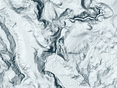
The Terrain, Seen by LiDAR
Aircraft-mounted lasers measured this ground to within inches. Trees and buildings are digitally stripped away, leaving the bare shape of the land the water has carved.
The ground through the falls loses about 364 feet in steep steps rather than one leap. The falls are listed at 100 feet; the extra comes from the ravine that continues below the base. The ground at the falls is roughly 1,618 feet above sea level.
Steep ground runs through the entire stretch: about 359 feet of descent in the 500 feet above the pin and 343 feet in the 500 feet below it. Facing north, the falls stay mostly shaded, with soft, even light all day.
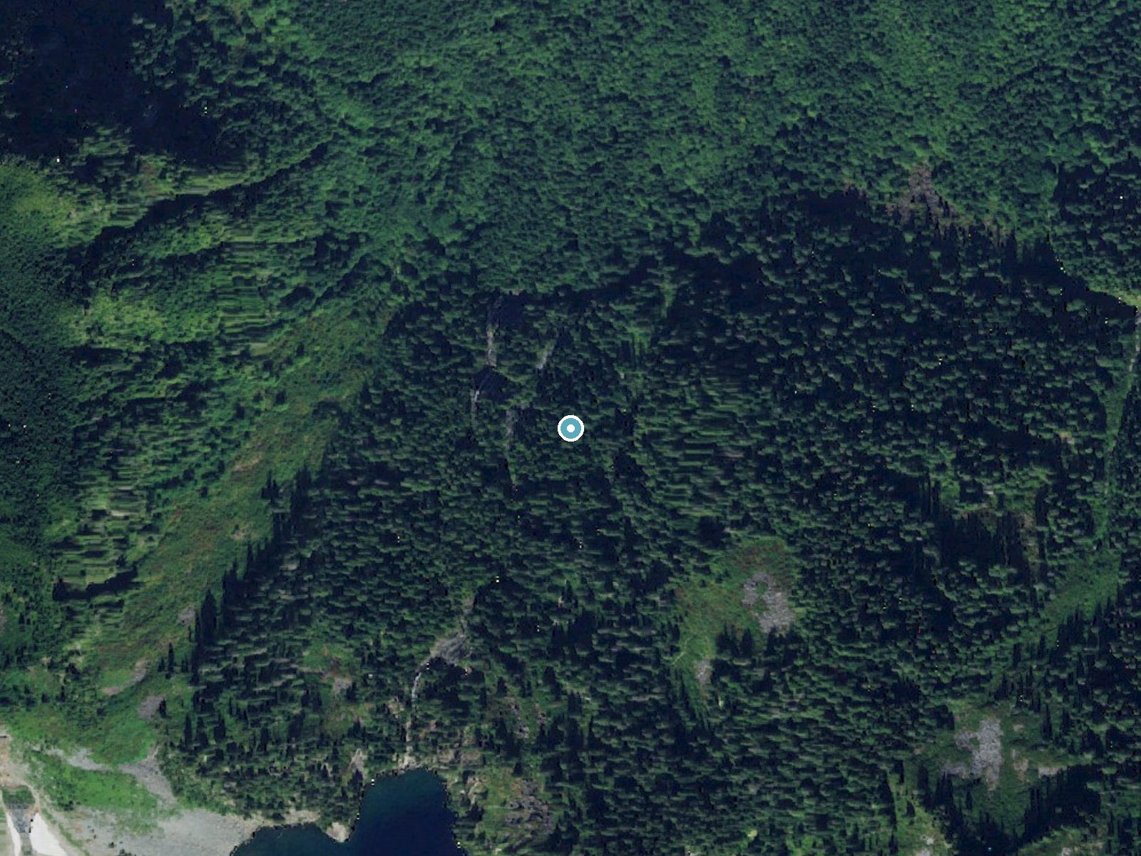
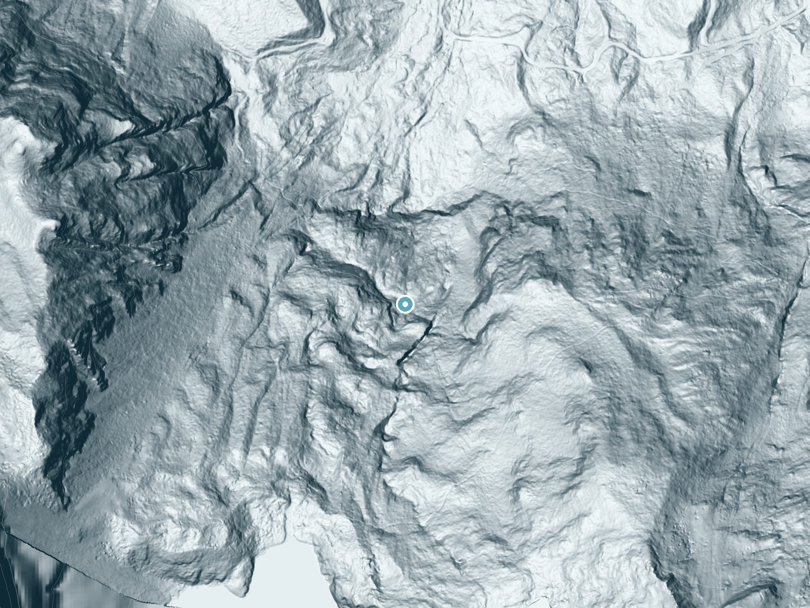
Drag to compare. The dot marks the waterfall. The frame is about a mile across.
- Ground elevation
- 1,618 feet
- Measured by 1-meter lidar
- Drop at the falls
- About 363 feet
- Change in ground height within ~250 feet of the falls
- Faces
- North
- Mostly shaded, so the light stays soft and even all day.
A slice through the lidar ground surface, from above the falls to downstream (heading north).
Elevation data: USGS 3D Elevation Program. Aerial imagery: USGS The National Map. Public domain.
Location & Access
Getting There
Bridal Veil Falls is accessed via the Lake Serene Trailhead, located off Mount Index Road near Highway 2. The trailhead is approximately 8.5 miles from Gold Bar, Washington.
Get Directions on Google MapsParking
There is a parking lot at the Lake Serene Trailhead, but it can fill up quickly, especially on weekends. Arrive early to secure a spot.
Elevation
1,601 feet above sea level
Coordinates
47.789271° N, -121.567886° W
Land Management
Managed by USFS
Visitor Tips & Gear
Arrive early to avoid crowds and secure parking. Bring plenty of water and snacks, as there are no facilities along the trail. Be prepared for changing weather conditions, as the area can be cool and damp even in summer.
As an Amazon Associate, we earn from qualifying purchases.
With 4.0 miles and 1,000 ft of elevation gain, sturdy boots and trekking poles will help on this moderate trail. Sun exposure on the trail makes good sun protection a must in summer.

Polarized Sunglasses (Knockaround)
Cuts glare off the water so you actually see the falls — and your photos turn out better too.

Columbia Watertight II Rain Jacket
Packs into its own pocket, seam-sealed, and keeps you dry from spray and surprise rain.

Earth Pak Waterproof Dry Bag
Keeps your phone and gear dry when waterfall mist soaks everything else.

Waterproof Phone Pouch (AiRunTech)
Cheap insurance — take photos right next to the falls without killing your phone.

Timberland Euro Sprint Mid Waterproof
Trusted waterproof boot with premium leather and grippy rubber sole — reliable on rocky, wet trails.

TrailBuddy Trekking Poles
Lightweight aluminum, cork grips, and flip-locks that actually hold — a best-seller for good reason.
Where to Stay

Snoqualmie Inn by Hotel America
Moon River Suites #5
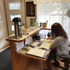
Dutch Cup Motel
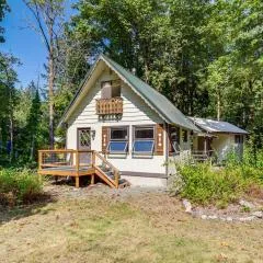
Walk to Skykomish River: Wooded Escape w/ Fire Pit
Browse vacation cabins and private rentals nearby
Unique outdoor stays — tents, yurts, and treehouses
Rent a campervan or RV for your waterfall road trip
Some links are affiliate links. We may earn a commission at no extra cost to you.
Nearby Campground
Money Creek Campground
8.5 miles away · 24 sites
Overview Situated on the banks of the South Fork Skykomish River in Mt. Baker-Snoqualmie National Forest, Money Creek campground offers some of the most stunning scenery in the northern Cascade Range in Washington. Scattered beneath a towering canopy of old-growth forest, the sites in this campground are widely spaced and several are at the river's edge, making it an ideal setting for visitors wanting to camp in a private, rustic setting.Recreation In addition to being a prime location for hiking
Book on Recreation.govNearby Hot Springs
Hot springs near Monroe, Washington
Garland Mineral Springs
Garland Mineral Springs flows at 84 degrees in the Snoqualmie National Forest, producing water 39.6 degrees above ambient tempe...
Scenic Hot Springs
Scenic Hot Springs delivers genuinely hot water at 122 degrees Fahrenheit at 2,246 feet elevation in the Cascade Mountains near...
Goldmeyer Hot Springs
Goldmeyer Hot Springs emerges at 127 degrees in the central Cascades, producing water 78.9 degrees above ambient temperature at...
Lester Hot Springs
This 120-degree spring sits within the City of Tacoma Watershed at 1,582 feet elevation, emerging 72.3 degrees above ambient in...
Kennedy Hot Spring
Kennedy Hot Spring flows at 100 degrees at 3,520 feet elevation in the Mt. Baker National Forest, emerging 58.7 degrees above a...
Gamma Hot Springs
Gamma Hot Springs produces 140-degree water at 5,397 feet elevation in the Mt. Baker National Forest, emerging 104.6 degrees ab...
Looking for a soak after your hike? Explore more hot springs near Monroe, Washington on SoakingSprings.
Explore Washington springsAdditional Information
Nearby Attractions
Lake Serene, Wallace Falls State Park, and the town of Gold Bar are nearby attractions worth exploring.
Wildlife
The area is home to a variety of wildlife, including birds, deer, and occasionally black bears. Be cautious and follow Leave No Trace principles.
Cities near Bridal Veil Falls
Nearby Waterfalls
 LiDAR
LiDAR
Other waterfalls named Bridal Veil Falls
24 other waterfalls share this name across the U.S.
Writing about Bridal Veil Falls? Embed this waterfall on your site for free.