Photo Credits (7)
Difficulty
Hard
Trail Length
1.2 miles
Trail Type
Out And Back
Elevation Gain
1,200 ft
About Spouting Rock
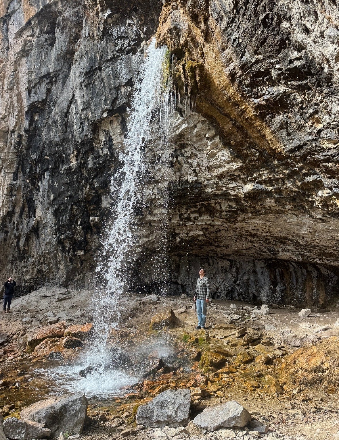
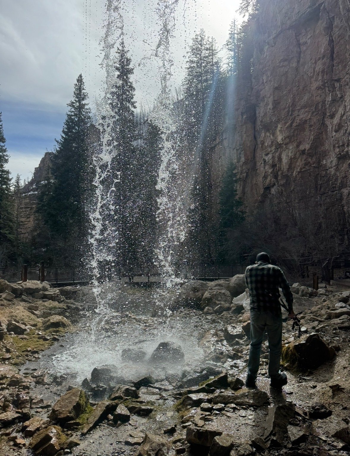
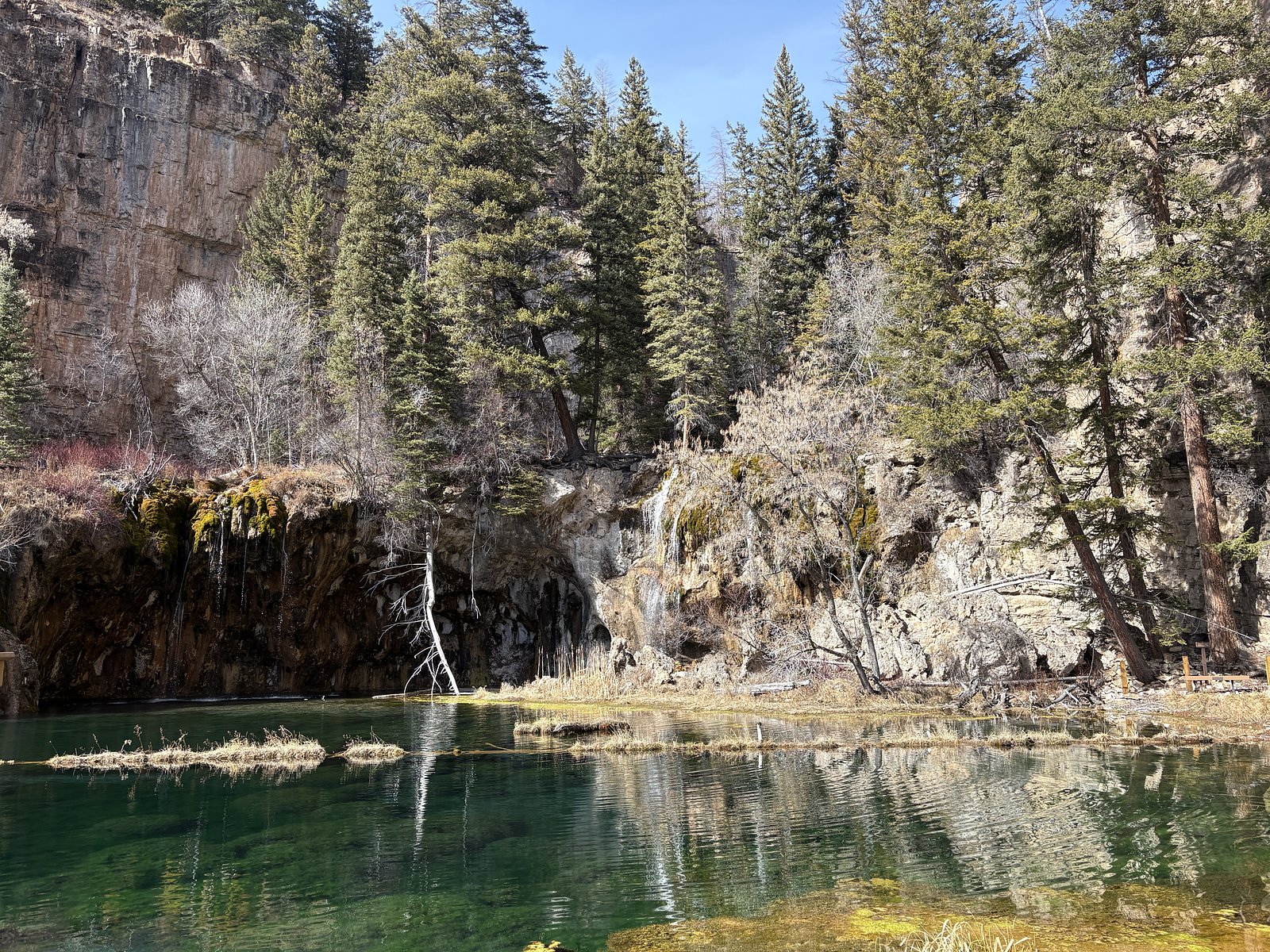
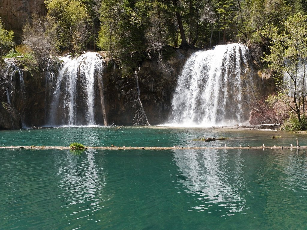
Spouting Rock is a waterfall in Glenwood Canyon, Colorado, located approximately 200 feet (about 60 meters) above the popular Hanging Lake. It is known for water that gushes directly out of a limestone cliff face and is reachable via a short, 100-200 yard side trail from the main Hanging Lake path.
The Setting
Spouting Rock sits at 7,323 feet in the high mountains of Colorado. At 200 feet, it is among the taller waterfalls in Colorado.
Height: 200 feet
Nearby Falls Worth Visiting
Bridal Veil Falls, the tallest waterfall in Colorado at 365 feet, lies 0.0 miles to the north.
Trail & Hike Details
The Approach
The hard 1.2-mile out and back trail gains 1,200 feet of elevation on the way to the falls.
Trail Description
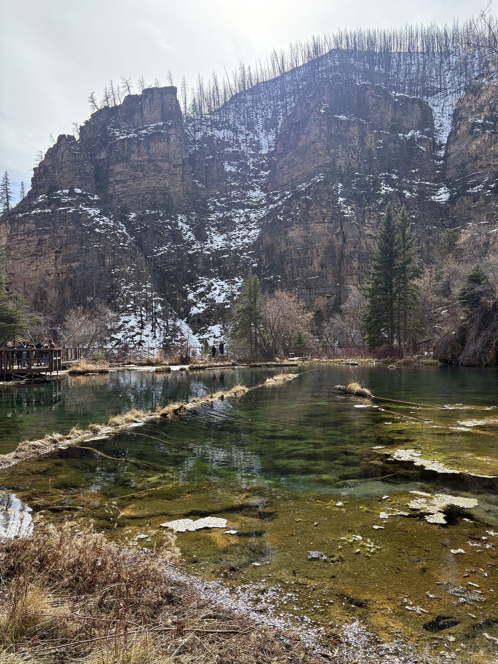
Hanging Lake is a fragile, protected ecosystem, and access is limited through a permit system to preserve it for future generations. The 1.2-mile (1.9 km) trail is short but demanding—steep, rocky, and gaining about 1,200 feet (366 m) in elevation. It’s a backcountry hike with incredible views and waterfalls, but it can be challenging, especially for those with physical limitations, young children, or older hikers.
What to Expect
The falls plunge 200 feet.
Accessibility
The trail involves steep, uneven terrain with significant elevation change and is not accessible to mobility devices.
Frequently Asked Questions
🐶 Are Dogs Allowed at Spouting Rock?
❌ Dogs are not allowed
No Dogs, with the exception of ceritifies service animals
Are There Any Fees or Permits Required?
🤑 Fee: $12.00
Permit required
Hikers will be asked to present their permit upon arrival to the Hanging Lake rest area, only people with permits will be allowed to park at the Hanging Lake rest area.
🏊 Is There Swimming at Spouting Rock?
❌ Swimming is not allowed
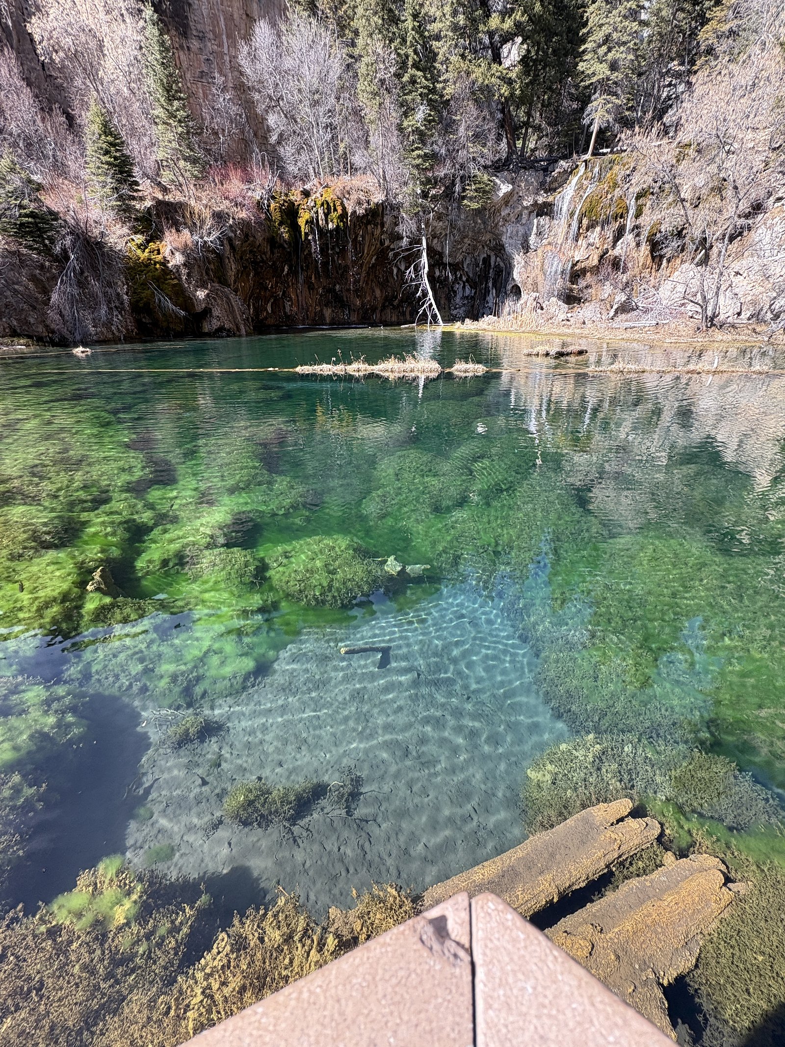
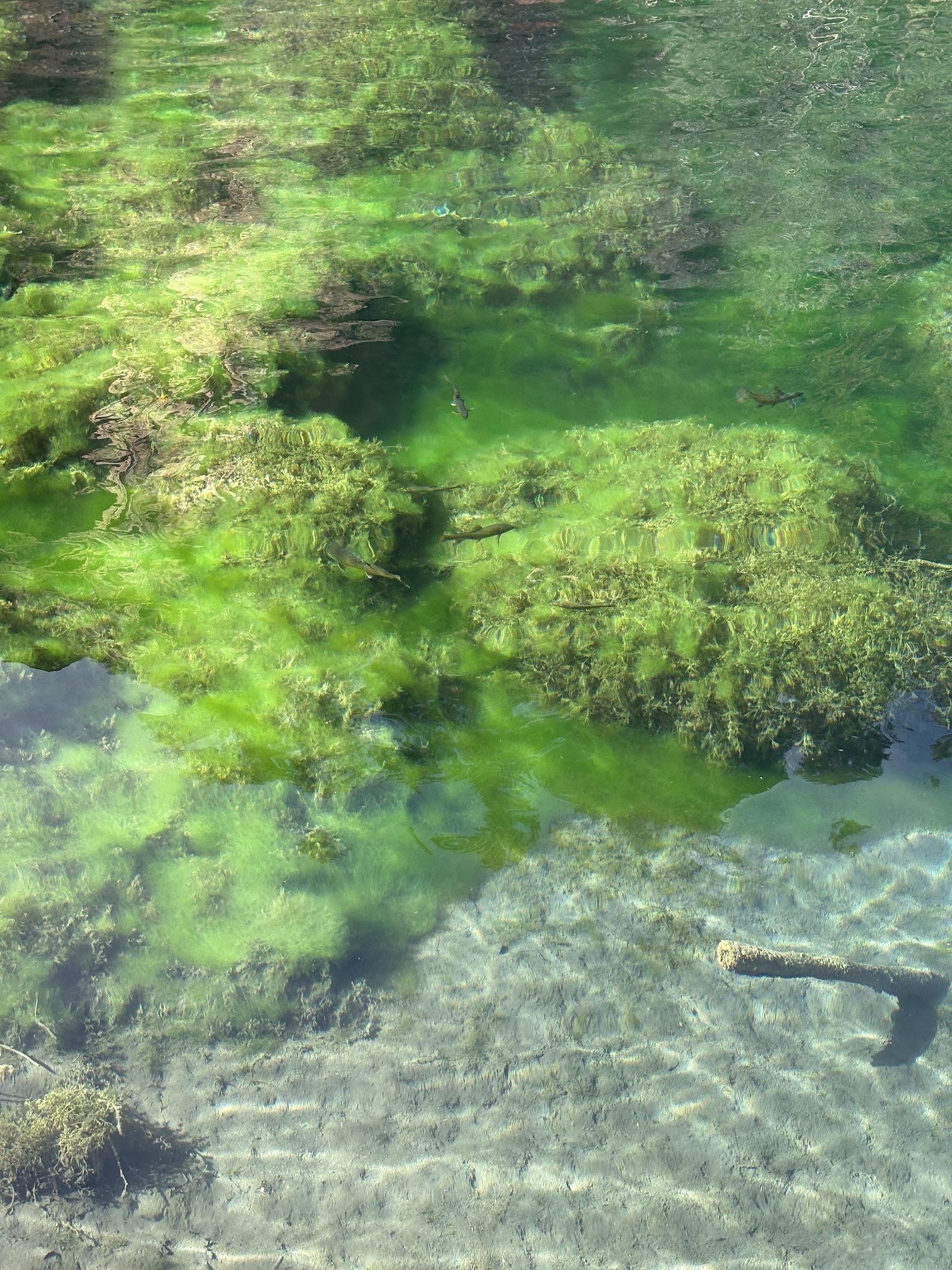
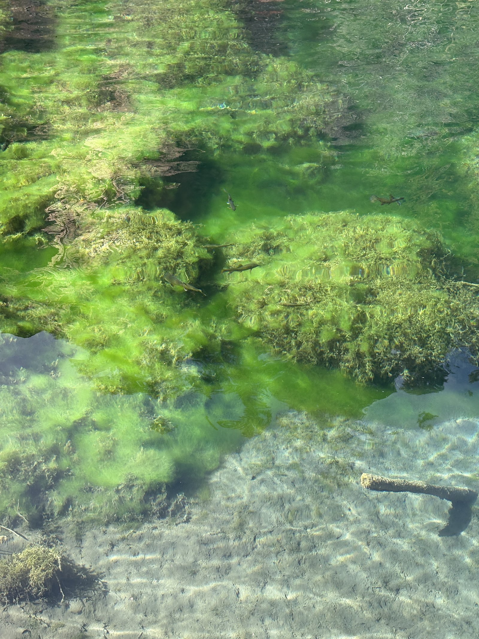
No Swimming. Which makes sense but also sucks because the water is crystal clear and beautiful!
When to Visit
Seasonal Access
The best time to visit is Spring, Summer, and Fall. Access roads and trails may close during winter due to snow.
Safety Information
It is very icy in the spring and winter, and trails are not actively cleared. Spikes or trekking poles will help a ton. They rent them at the base FYI
Know when to go.
Get a free email alert when waterfalls near No Name hit peak flow. We only send when conditions are worth the trip — no weekly newsletters, no spam.
Weather Forecast
The Terrain, Seen by LiDAR
Aircraft-mounted lasers measured this ground to within inches. Trees and buildings are digitally stripped away, leaving the bare shape of the land the water has carved.
1-meter lidar shows Spouting Rock dropping about 330 feet in a single sheer step. That is more than the listed 200 feet because the gorge keeps dropping below the falls themselves. The brink sits at about 7,219 feet above sea level.
Steep ground runs through the entire stretch: about 332 feet of descent in the 500 feet above the pin and 189 feet in the 500 feet below it. Facing southeast, the falls sit in full sun for most of the day, best photographed early or late.
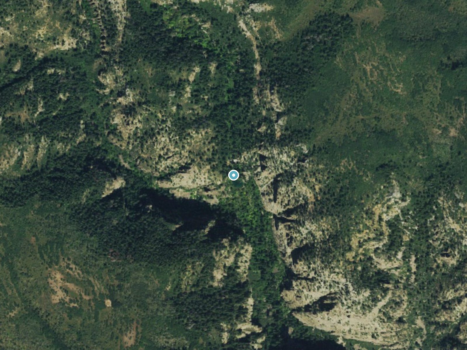
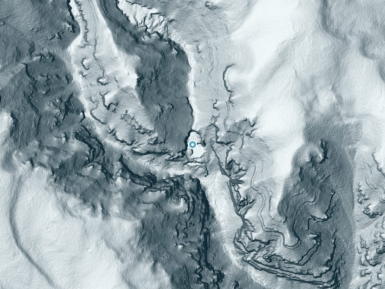
Drag to compare. The dot marks the waterfall. The frame is about a mile across.
- Ground elevation
- 7,219 feet
- Measured by 1-meter lidar
- Drop at the falls
- About 330 feet
- Change in ground height within ~250 feet of the falls
- Faces
- Southeast
- Sunlit most of the day. Go early or late for softer light.
A slice through the lidar ground surface, from above the falls to downstream (heading southeast).
Elevation data: USGS 3D Elevation Program. Aerial imagery: USGS The National Map. Public domain.
Location & Access
Getting There
There is no westbound exit for Hanging Lake! If traveling west on Interstate 70, take the Grizzly Creek exit and head back to the east on I-70 to Hanging Lake exit 125. If traveling eastbound, take I-70 exit 125.
Get Directions on Google MapsParking
Big well maintained lot
Hours
Elevation
7,323 feet above sea level
Coordinates
39.601650° N, -107.191997° W
⚠️ Reservations are required for this location
Visitor Tips & Gear
You must book a permit to hike, and they fill up quick. That's kind of a pain but it keeps the trail from being too crowded. Wear sturdy shoes, as the trail may have uneven sections. Bring water and a camera to capture the scenic views.
This trail sits at 7,323 ft above sea level
Elevated TrailUV radiation is roughly 29% stronger at this elevation than at sea level, and the dry air accelerates dehydration. Extra sun protection and fluids go a long way.
As an Amazon Associate, we earn from qualifying purchases.

Coppertone Sport SPF 50 Sunscreen
UV intensity jumps ~4% per 1,000 ft — at this elevation you can burn in half the time.

Sun Bum SPF 30 Lip Balm (3-Pack)
Lips have almost no natural UV protection and burn fast in thin, dry mountain air.

Liquid I.V. Electrolyte Packets
You lose moisture ~2x faster at elevation — electrolytes help you absorb water efficiently.

ROCKNIGHT Polarized UV400 Sunglasses
High-altitude glare off rock and water is intense — UV400 lenses block 99%+ of UVA/UVB.
As an Amazon Associate, we earn from qualifying purchases.
This challenging 1.2 miles trail gains 1,200 ft in elevation — come prepared with proper hiking boots and trekking poles. Sun exposure on the trail makes good sun protection a must in summer.

Sawyer Squeeze Water Filter
The backcountry standard — filters 99.9% of bacteria and weighs just 3 oz.

Polarized Sunglasses (Knockaround)
Cuts glare off the water so you actually see the falls — and your photos turn out better too.

Columbia Watertight II Rain Jacket
Packs into its own pocket, seam-sealed, and keeps you dry from spray and surprise rain.

Earth Pak Waterproof Dry Bag
Keeps your phone and gear dry when waterfall mist soaks everything else.

Waterproof Phone Pouch (AiRunTech)
Cheap insurance — take photos right next to the falls without killing your phone.

Timberland Euro Sprint Mid Waterproof
Trusted waterproof boot with premium leather and grippy rubber sole — reliable on rocky, wet trails.
Where to Stay

Glenwood Hot Springs Resort

Glenwood Springs Inn
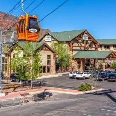
Hotel Glenwood Springs
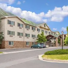
Quality Inn & Suites On The River
Browse vacation cabins and private rentals nearby
Unique outdoor stays — tents, yurts, and treehouses
Rent a campervan or RV for your waterfall road trip
Some links are affiliate links. We may earn a commission at no extra cost to you.
Nearby Hot Springs
Hot springs near Marble, Colorado
Dotsero Warm Springs
Dotsero Warm Springs flows at 90 degrees Fahrenheit along Eagle River corridor public lands, carrying extraordinary dissolved s...
Yampah Hot Springs Vapor Caves
Yampah Hot Springs Vapor Caves occupy a unique niche in Colorado geothermal culture as the source of natural steam caves in the...

Glenwood Springs
Glenwood Springs reaches 124 degrees Fahrenheit and channels through the Sacred Waters facility in downtown Glenwood, standing ...
Iron Mountain Hot Springs
Iron Mountain Hot Springs occupies the banks of the Colorado River in Glenwood Springs at 5,740 feet elevation, where a develop...
South Canyon Hot Springs
South Canyon Hot Springs delivers 118 degrees Fahrenheit at just 7.3 meters from Canyon Creek Road, making this one of Colorado...
Avalanche Ranch Hot Springs
Avalanche Ranch Hot Springs flows at 48 degrees Fahrenheit near Carbondale, making it the coolest thermal feature in this datas...
Looking for a soak after your hike? Explore more hot springs near Marble, Colorado on SoakingSprings.
Explore Colorado springsAdditional Information
Nearby Attractions
Wildlife
Cities near Spouting Rock
Nearby Waterfalls
Writing about Spouting Rock? Embed this waterfall on your site for free.