Photo Credits (5)
Difficulty
Moderate
Trail Length
2.4 miles
Trail Type
Out And Back
Elevation Gain
350 ft
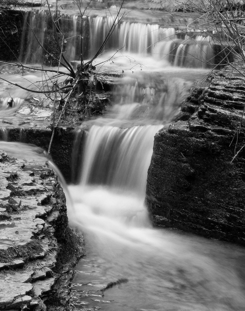
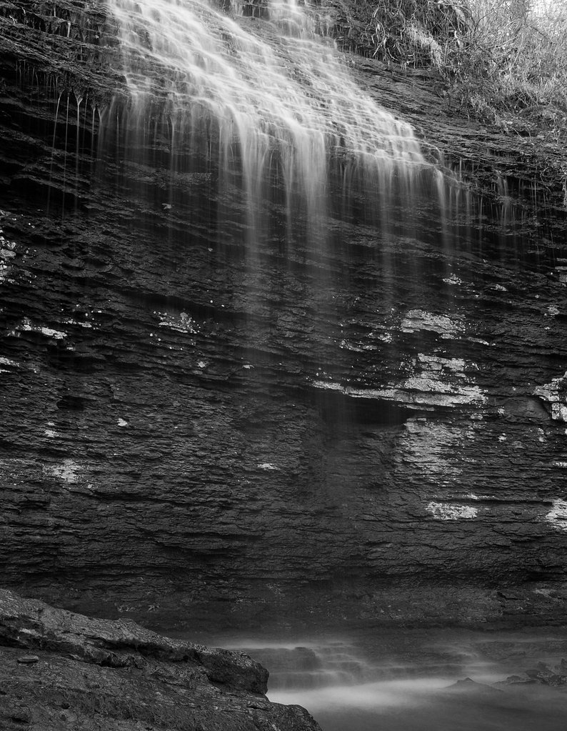
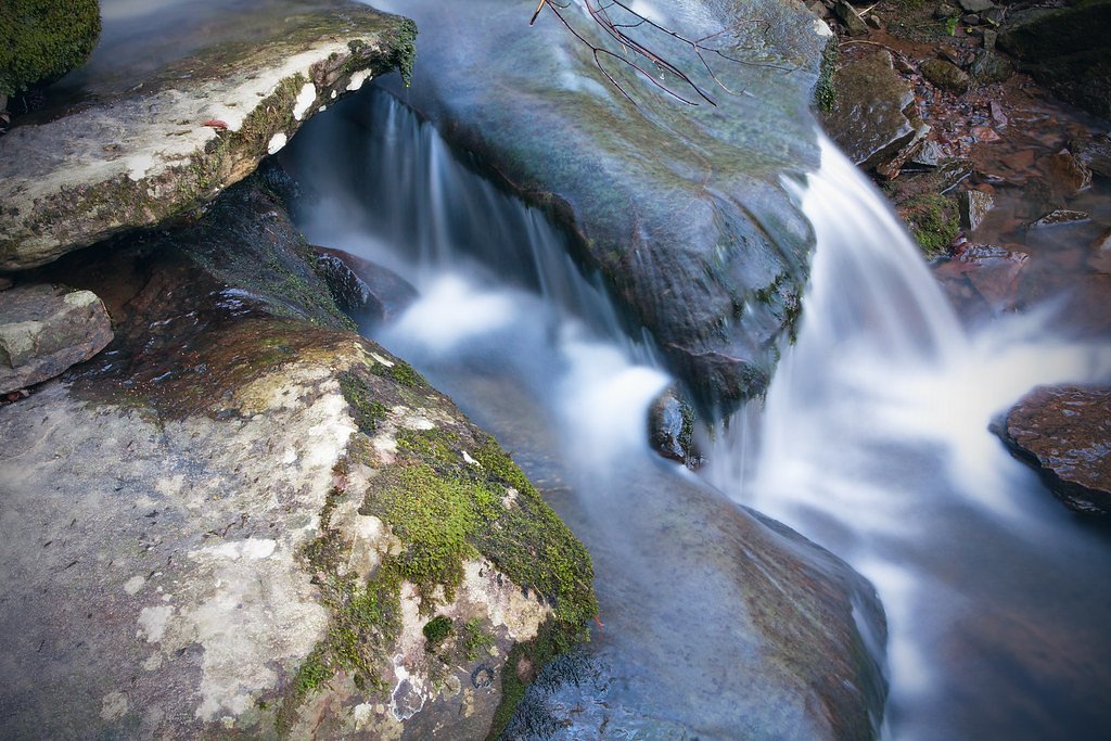
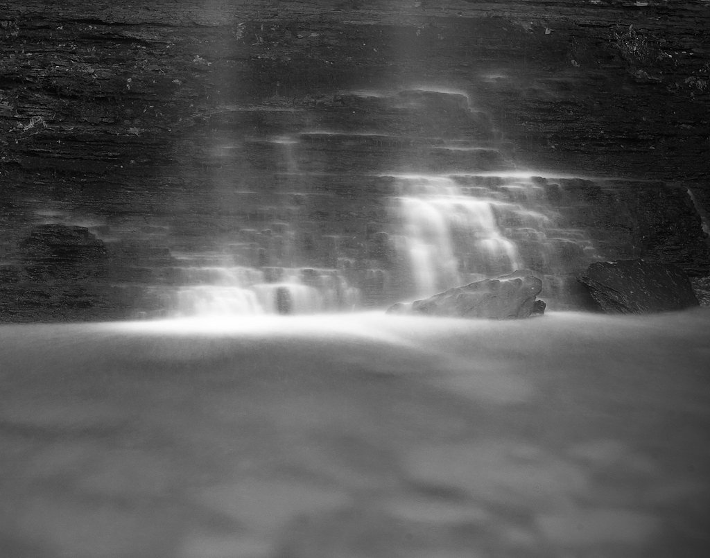
About Bridal Veil Falls
Bridal Veil Falls, just outside Heber Springs, Arkansas, is a picturesque cascade that tumbles over a rock ledge into a serene pool framed by lush greenery. Visitors are drawn to its photogenic veil-like flow and the peaceful forest setting that makes it a rewarding short getaway from town. The falls are easily reached via a trail that balances accessibility with a touch of adventure: the out-and-back route covers 2.4 miles with about 350 feet of elevation gain and is commonly rated moderate. If you’re planning to camp nearby, the John F. Kennedy campground sits roughly 6.4 km from the trailhead, offering a convenient option for an overnight stay after a day exploring the falls.
Trail & Hike Details
The Approach
The moderate 2.4-mile out-and-back trail gains 350 feet of elevation on the way to the falls.
Trail Description
The trail to Bridal Veil Falls is a 2.4-mile out-and-back that gains about 350 feet, typically rated moderate in difficulty. The path is generally well-maintained through wooded terrain, but sections can become muddy after rain, so sturdy, water-resistant footwear is recommended. Expect a steady, manageable climb on the return; the route is suitable for hikers comfortable with moderate grades and uneven surfaces.
What to Expect
Dogs are welcome.
Accessibility
The trail is not wheelchair accessible. Uneven terrain and elevation changes require steady footing.
Frequently Asked Questions
🐶 Are Dogs Allowed at Bridal Veil Falls?
✅ Dogs are allowed
Are There Any Fees or Permits Required?
🆖 No fees required
🏊 Is There Swimming at Bridal Veil Falls?
❌ Swimming is not allowed
When to Visit
Spring and fall are the best times to visit Bridal Veil Falls, as the water flow is typically stronger during these seasons, and the surrounding foliage is particularly vibrant.
Seasonal Access
The best time to visit is Spring, Summer, and Fall. Winter access may be limited.
Safety Information
The rocks around the waterfall can be slippery, so exercise caution when near the water. Avoid visiting during heavy rain or after storms, as the trail may become hazardous.
Know when to go.
Get a free email alert when waterfalls near Heber Springs hit peak flow. We only send when conditions are worth the trip — no weekly newsletters, no spam.
Weather Forecast
Location & Access
Getting There
Bridal Veil Falls is located just outside Heber Springs, Arkansas. From downtown Heber Springs, take Highway 25 to Bridal Veil Falls Road. There is a small parking area near the trailhead.
Get Directions on Google MapsParking
A small parking lot is available near the trailhead, but it may fill up quickly during peak seasons.
Elevation
551 feet above sea level
Coordinates
35.469524° N, -92.038482° W
Visitor Tips & Gear
Visit early in the day to avoid crowds, especially during weekends and holidays. Wear sturdy shoes as the trail can be slippery after rain. Bring water and a camera to capture the stunning views.
As an Amazon Associate, we earn from qualifying purchases.
With 2.4 miles and 350 ft of elevation gain, sturdy boots and trekking poles will help on this moderate trail. Sun exposure on the trail makes good sun protection a must in summer.

Polarized Sunglasses (Knockaround)
Cuts glare off the water so you actually see the falls — and your photos turn out better too.

Columbia Watertight II Rain Jacket
Packs into its own pocket, seam-sealed, and keeps you dry from spray and surprise rain.

Earth Pak Waterproof Dry Bag
Keeps your phone and gear dry when waterfall mist soaks everything else.

Waterproof Phone Pouch (AiRunTech)
Cheap insurance — take photos right next to the falls without killing your phone.

Timberland Euro Sprint Mid Waterproof
Trusted waterproof boot with premium leather and grippy rubber sole — reliable on rocky, wet trails.

TrailBuddy Trekking Poles
Lightweight aluminum, cork grips, and flip-locks that actually hold — a best-seller for good reason.
Where to Stay

Holiday Inn Express and Suites Heber Springs by IHG

Quality Inn Heber Springs

Cozy Heber Springs Cabin w/ Deck & Dock!

Lucky Trout Lodge
Browse vacation cabins and private rentals nearby
Unique outdoor stays — tents, yurts, and treehouses
Rent a campervan or RV for your waterfall road trip
Some links are affiliate links. We may earn a commission at no extra cost to you.
Nearby Campground
JOHN F KENNEDY
4 miles away · 70 sites
Overview John F. Kennedy Park is located on the Little Red River just downstream of Greers Ferry Dam in the beautiful Ozark Mountains of north-central Arkansas. In his last major appearance before his death, President John F. Kennedy stood on a flag-draped platform overlooking the just-completed Greers Ferry Dam and spoke of the prosperity the lake would bring to the region.Today, a million visitors flock yearly to the scenic waters for family camping, fishing, boating and hiking. Recreation Gree
Book on Recreation.govAdditional Information
Nearby Attractions
Nearby attractions include Sugar Loaf Mountain, Greers Ferry Lake, and the Heber Springs Historic District.
Wildlife
Visitors may encounter birds, squirrels, and other small wildlife along the trail.
Cities near Bridal Veil Falls
Other waterfalls named Bridal Veil Falls
24 other waterfalls share this name across the U.S.
Writing about Bridal Veil Falls? Embed this waterfall on your site for free.