Photo Credits (5)
Difficulty
Moderate
Trail Length
2.4 miles
Trail Type
Out And Back
Elevation Gain
350 ft
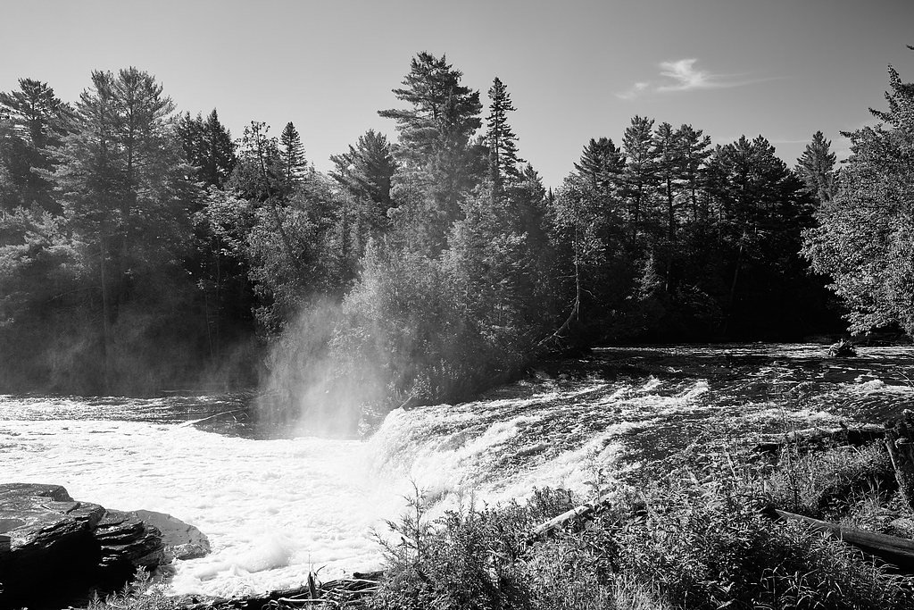
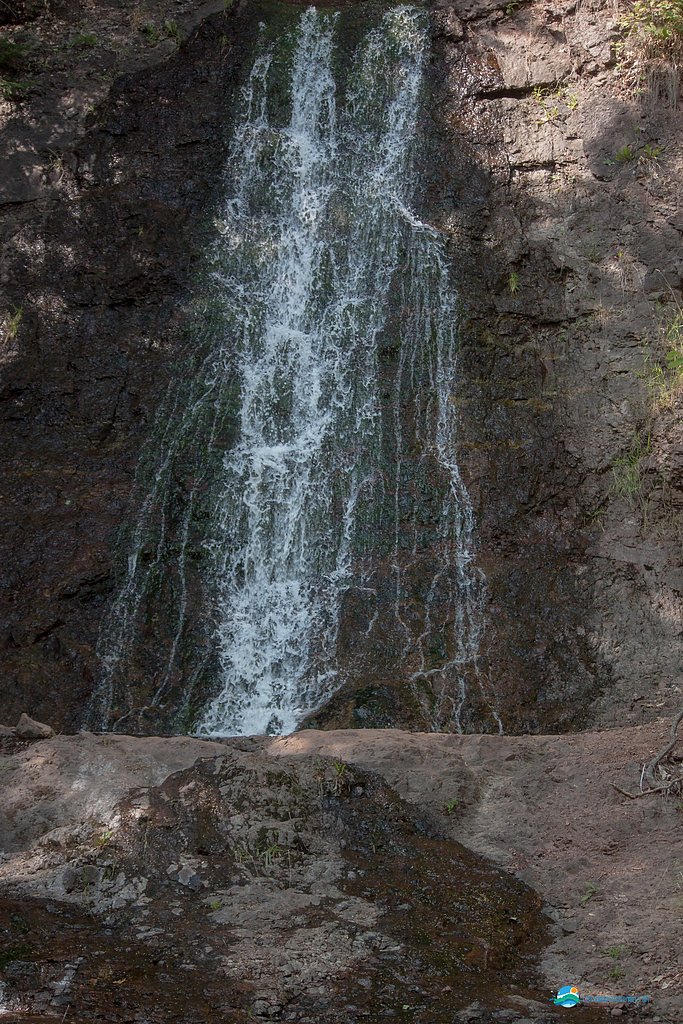
About Lower Falls
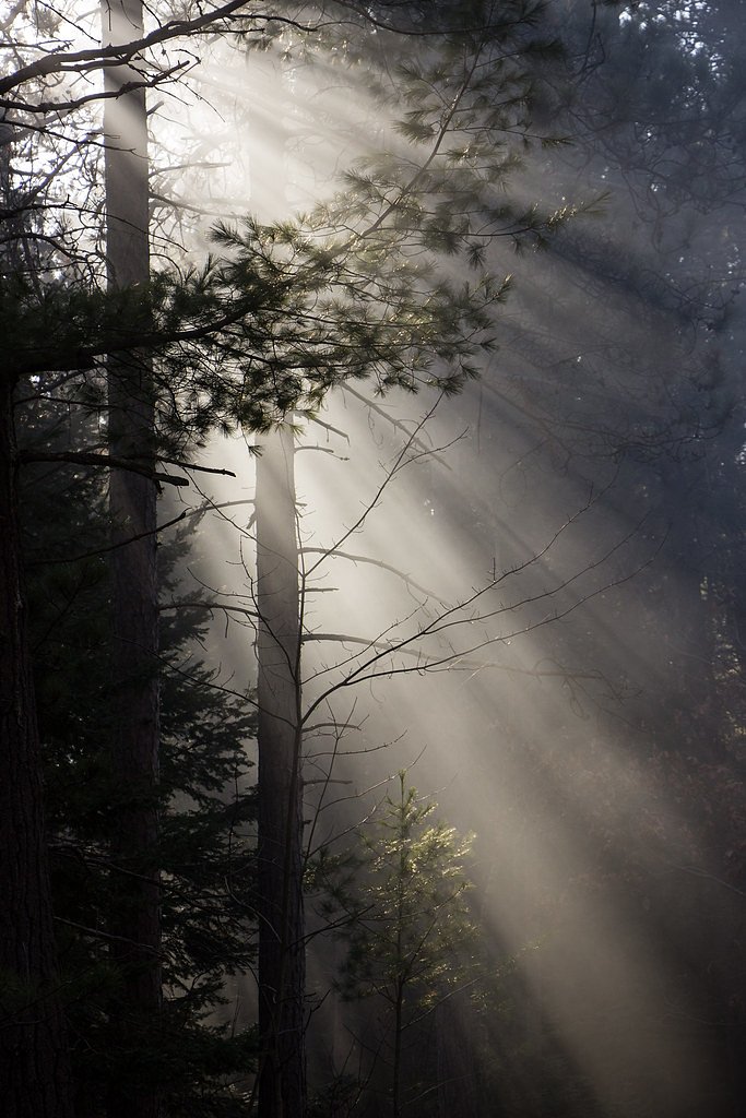
Lower Falls is one of the quiet cascades tucked into Michigan’s Keweenaw Peninsula, not far from Copper Harbor. The falls are set amid lush forest and offer a compact, photogenic drop that rewards visitors with a peaceful, postcard-ready scene. The site sits within the Baraga State Forest Area SCA and is managed by the Michigan Department of Natural Resources (SDNR), so visitors are enjoying a waterfall preserved as part of state-managed forest lands. The approach and viewpoint make Lower Falls a great stop for hikers and photographers looking for a short, scenic outing rather than a strenuous trek. Because the falls are modest in size and nestled in a wooded setting, the vibe is tranquil and intimate—ideal for a relaxed afternoon exploring the surrounding forest and listening to rushing water.
The Setting
Lower Falls sits at 636 feet within Baraga State Forest Area, in the foothills of Michigan.
Trail & Hike Details
The Approach
The moderate 2.4-mile out-and-back trail gains 350 feet of elevation on the way to the falls.
Trail Description
The trail to Lower Falls is a moderate 2.4-mile out-and-back with roughly 350 feet of elevation gain. The route traverses forested terrain and naturally occurring surfaces—expect a footpath of dirt, roots and occasional rocks with uneven footing. Difficulty is rated moderate; the distance and climbs are manageable for most hikers but appropriate footwear and basic trail caution are recommended. No USFS trail number is listed for this route; plan for a compact hike with moderate grade changes and return the same way.
What to Expect
Visitors can expect a peaceful and scenic experience at Lower Falls, with the sound of cascading water and a surrounding forested environment. The area may be less crowded compared to other popular waterfalls in Michigan.
Accessibility
The trail is not wheelchair accessible. Uneven terrain and elevation changes require steady footing.
Frequently Asked Questions
🐶 Are Dogs Allowed at Lower Falls?
❌ Dogs are not allowed
Are There Any Fees or Permits Required?
🆖 No fees required
🏊 Is There Swimming at Lower Falls?
❌ Swimming is not allowed
When to Visit
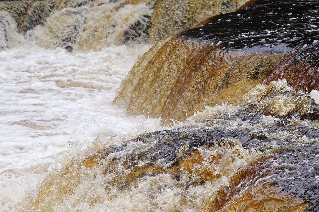
Spring and early summer are ideal for visiting Lower Falls, as the water flow is typically strongest during this time. Fall offers beautiful foliage, while summer provides warmer weather for outdoor activities.
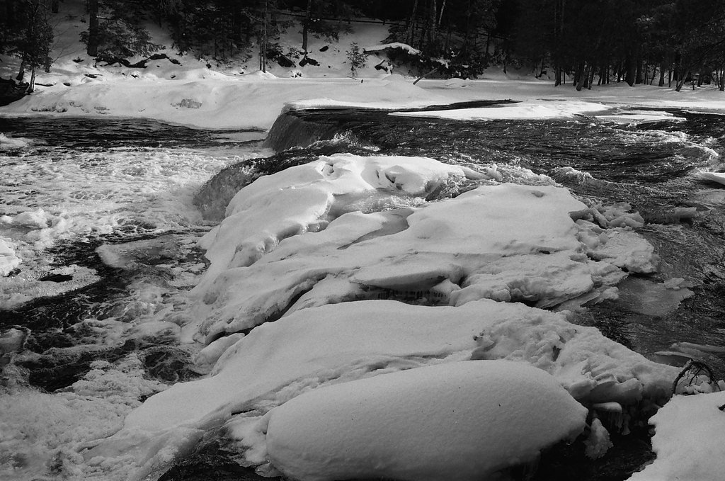
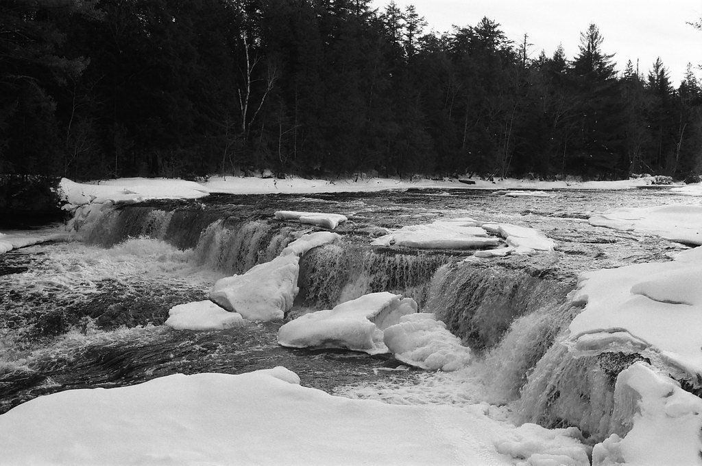
Seasonal Access
The best time to visit is Spring, Summer, and Fall. Winter access may be limited.
Safety Information
Visitors should exercise caution near the water, as rocks may be slippery. Be prepared for uneven terrain and changing weather conditions.
Know when to go.
Get a free email alert when waterfalls near Copper Harbor hit peak flow. We only send when conditions are worth the trip — no weekly newsletters, no spam.
Weather Forecast
Location & Access
Getting There
Lower Falls is located approximately 5.3 miles from Copper Harbor, 16.4 miles from Eagle Harbor, and 18.8 miles from Eagle River. The coordinates for the waterfall are 47.3939, -87.8394. Access is typically via local roads, and visitors should follow signage or GPS directions to the trailhead.
Get Directions on Google MapsParking
Parking is available near the trailhead, but the size and availability of parking spaces may vary. It is recommended to arrive early during peak seasons.
Elevation
636 feet above sea level
Coordinates
47.393889° N, -87.839444° W
Land Management
Managed by SDNR
Visitor Tips & Gear
Check local weather conditions before visiting, as trails may become muddy or slippery after rain. Bring insect repellent during warmer months, as mosquitoes and other insects are common in the area.
As an Amazon Associate, we earn from qualifying purchases.
With 2.4 miles and 350 ft of elevation gain, sturdy boots and trekking poles will help on this moderate trail. Sun exposure on the trail makes good sun protection a must in summer.

Polarized Sunglasses (Knockaround)
Cuts glare off the water so you actually see the falls — and your photos turn out better too.

Columbia Watertight II Rain Jacket
Packs into its own pocket, seam-sealed, and keeps you dry from spray and surprise rain.

Earth Pak Waterproof Dry Bag
Keeps your phone and gear dry when waterfall mist soaks everything else.

Waterproof Phone Pouch (AiRunTech)
Cheap insurance — take photos right next to the falls without killing your phone.

Timberland Euro Sprint Mid Waterproof
Trusted waterproof boot with premium leather and grippy rubber sole — reliable on rocky, wet trails.

TrailBuddy Trekking Poles
Lightweight aluminum, cork grips, and flip-locks that actually hold — a best-seller for good reason.
Where to Stay


Browse vacation cabins and private rentals nearby
Unique outdoor stays — tents, yurts, and treehouses
Rent a campervan or RV for your waterfall road trip
Some links are affiliate links. We may earn a commission at no extra cost to you.
Additional Information
Nearby Attractions
Nearby attractions include Copper Harbor, Eagle Harbor Lighthouse, and Brockway Mountain Drive, which offers stunning views of the Keweenaw Peninsula.
Wildlife
The area is home to a variety of wildlife, including birds, deer, and small mammals. Visitors should be cautious of ticks and other insects.
Cities near Lower Falls
Nearby Waterfalls
Other waterfalls named Lower Falls
19 other waterfalls share this name across the U.S.
Writing about Lower Falls? Embed this waterfall on your site for free.