Little Falls
By Armen Suny · Last verified Mar 2026
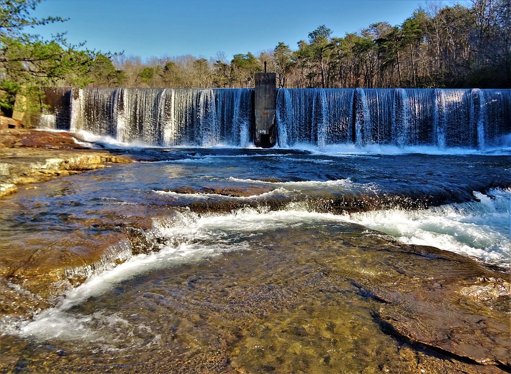
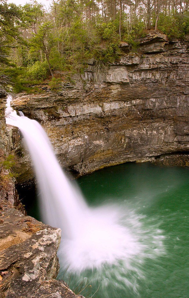
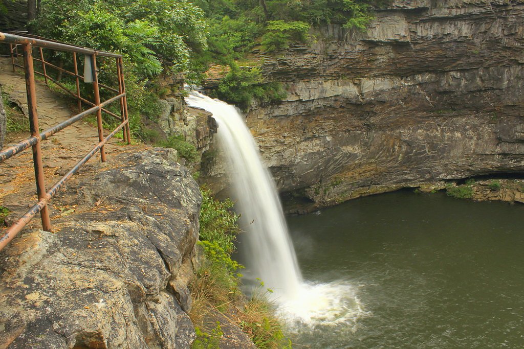
Photo Credits (5)
Difficulty
Moderate
Trail Length
2.4 miles
Trail Type
Out And Back
Elevation Gain
350 ft
About Little Falls
Little Falls is a small but scenic waterfall located near Valley Head, Alabama. It is known for its serene surroundings and is a popular spot for locals and visitors seeking a peaceful nature experience. The waterfall is part of a small creek system and may vary in flow depending on recent rainfall.
The Setting
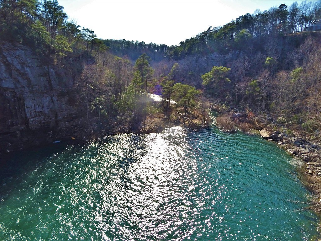
Little Falls sits at 1,565 feet along the Big Wills Creek, in the hills of Alabama.
Nearby Falls Worth Visiting
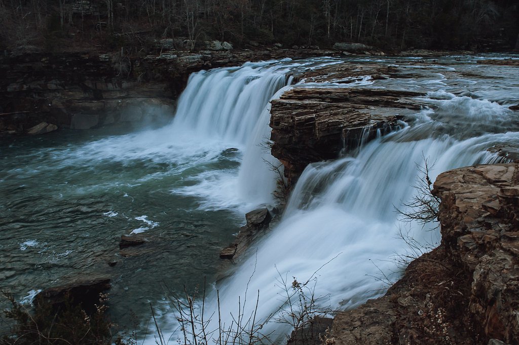
De Soto Falls, the tallest waterfall in Alabama at 104 feet, lies 2.3 miles to the northeast. Also nearby: Little River Falls (45 ft, 8.6 mi).
Trail & Hike Details
The Approach
The moderate 2.4-mile out-and-back trail gains 350 feet of elevation on the way to the falls.
Trail Description
Details about the trail leading to Little Falls are not well-documented. Visitors should be prepared for potentially uneven terrain and check local resources for updated trail conditions.
What to Expect
Visitors can expect a peaceful, natural setting with a small waterfall that may vary in flow depending on recent rainfall. The area is surrounded by forested landscapes, offering a tranquil escape.
Accessibility
The trail is not wheelchair accessible. Uneven terrain and elevation changes require steady footing.
Frequently Asked Questions
🐶 Are Dogs Allowed at Little Falls?
❌ Dogs are not allowed
Are There Any Fees or Permits Required?
🆖 No fees required
🏊 Is There Swimming at Little Falls?
❌ Swimming is not allowed
When to Visit
Spring and fall are typically the best times to visit due to moderate weather and potentially higher water flow. Summer can also be enjoyable, but be prepared for warmer temperatures.
Seasonal Access
The best time to visit is Spring, Summer, and Fall. Winter access may be limited.
Safety Information
Visitors should be cautious of slippery rocks near the waterfall and be aware of changing water levels after rainfall. Cell service may be limited in the area.
Current Water Conditions
6 ft³/s
Current discharge — how much water is flowing
Much lower than usual for this time of year
Based on 23 years of record
3.82 ft
Water depth at gauge
7-Day Discharge Trend
What does this mean for your visit?
Flow is well below normal for this time of year, so the waterfall may be a trickle.
About This Gauge
This gauge is on a nearby waterway and may not reflect exact conditions at the falls.
7-Day Flow Outlook
Based on the USGS gauge BIG WILLS CREEK AT STATE HWY 35 NR FORT PAYNE, AL (17 km away).
Today
Low
7 cfs
3/10Tomorrow
Low
8 cfs
3/10Sun
Low
9 cfs
3/10Mon
Low
9 cfs
3/10Tue
Low
8 cfs
3/10Wed
Low
8 cfs
3/10Thu
Low
9 cfs
3/10Best window: Today — low flow, mostly sunny then chance showers and thunderstorms (trip score 3/10).
Best time of year: this gauge typically runs highest from early February to early April, peaking in March.
How we calculate this
This is a transparent outlook, not a precise forecast. We take the waterfall's current flow strength (how it ranks against its historical normal for today, from the nearest USGS stream gauge), carry that ranking forward along the gauge's seasonal curve, and nudge it for forecast rain. Confidence is highest for the next day or two and falls further out. Always check official conditions and your own judgment before visiting — high flows can be dangerous.
Know when to go.
Get a free email alert when waterfalls near Valley Head hit peak flow. We only send when conditions are worth the trip — no weekly newsletters, no spam.
Weather Forecast
Location & Access
Getting There
Little Falls is located approximately 2.3 miles from Valley Head, 3.4 miles from Mentone, and 3.6 miles from Hammondville. The coordinates for the waterfall are 34.5193, -85.6105. Access may require navigating local roads, and signage to the falls may be limited.
Get Directions on Google MapsParking
Parking availability is unclear, but visitors may need to park along nearby roads or in designated areas if available. It is recommended to check local resources or visitor reports for updated parking information.
Elevation
1,565 feet above sea level
Coordinates
34.519252° N, -85.610520° W
Visitor Tips & Gear
Wear sturdy footwear and bring water, as trail conditions and access points may vary. Check weather conditions before visiting, as the waterfall's flow depends on recent rainfall.
As an Amazon Associate, we earn from qualifying purchases.
With 2.4 miles and 350 ft of elevation gain, sturdy boots and trekking poles will help on this moderate trail. Sun exposure on the trail makes good sun protection a must in summer.

Polarized Sunglasses (Knockaround)
Cuts glare off the water so you actually see the falls — and your photos turn out better too.

Columbia Watertight II Rain Jacket
Packs into its own pocket, seam-sealed, and keeps you dry from spray and surprise rain.

Earth Pak Waterproof Dry Bag
Keeps your phone and gear dry when waterfall mist soaks everything else.

Waterproof Phone Pouch (AiRunTech)
Cheap insurance — take photos right next to the falls without killing your phone.

Timberland Euro Sprint Mid Waterproof
Trusted waterproof boot with premium leather and grippy rubber sole — reliable on rocky, wet trails.

TrailBuddy Trekking Poles
Lightweight aluminum, cork grips, and flip-locks that actually hold — a best-seller for good reason.
Where to Stay

Mountain Treehouse - Magpie Nest

Falcon Lodge - hot tub fire pit & games

Dogwood Cottage with Private Fire Pit & Sleeps 6

avid hotel Fort Payne by IHG
Browse vacation cabins and private rentals nearby
Unique outdoor stays — tents, yurts, and treehouses
Rent a campervan or RV for your waterfall road trip
Some links are affiliate links. We may earn a commission at no extra cost to you.
Additional Information
Nearby Attractions
Nearby attractions include the town of Mentone, known for its charming shops and restaurants, and DeSoto State Park, which offers additional hiking and waterfall opportunities.
Wildlife
The area may feature local wildlife such as birds, deer, and small mammals. Visitors should respect the natural habitat and avoid disturbing wildlife.
Cities near Little Falls
Nearby Waterfalls

Other waterfalls named Little Falls
27 other waterfalls share this name across the U.S.
Writing about Little Falls? Embed this waterfall on your site for free.