
Photo Credits (5)
Difficulty
Moderate
Trail Length
2.4 miles
Trail Type
Out And Back
Elevation Gain
350 ft
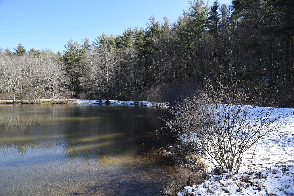
About Little Falls
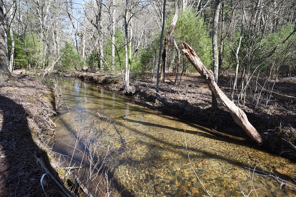
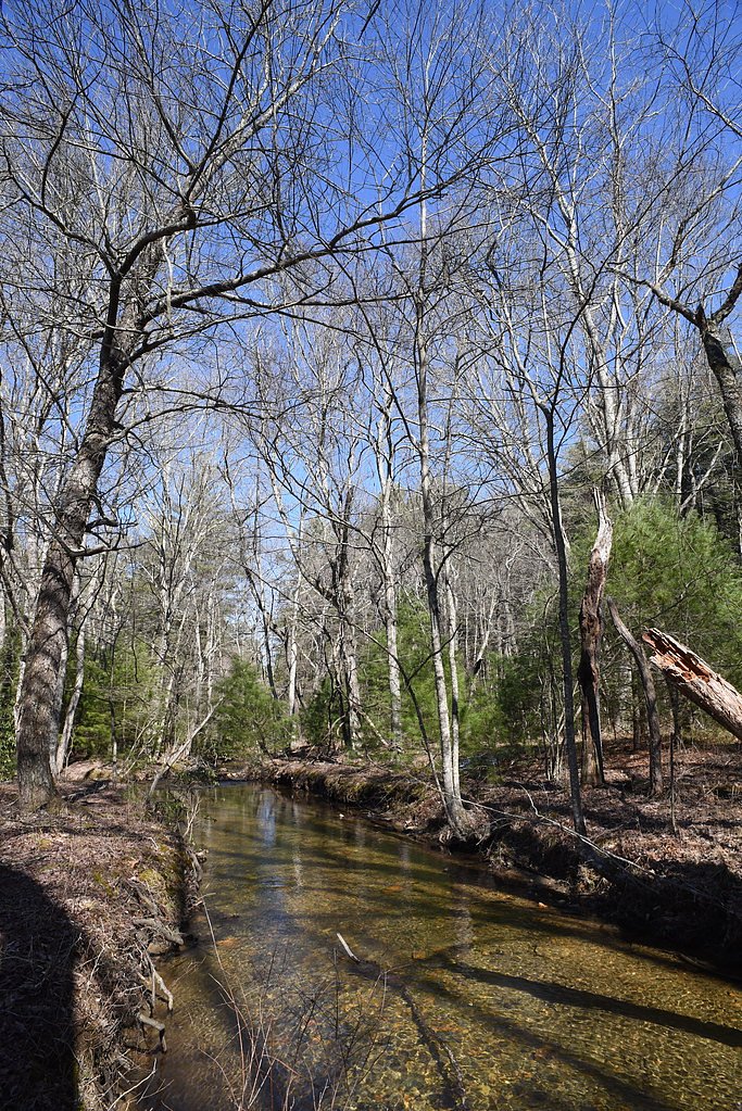
Little Falls is a small, picturesque waterfall tucked into Stone Mountain State Park in North Carolina, offering a serene setting that draws photographers and nature lovers alike. The cascade sits within the park’s wooded landscape not far from the towns of Sparta, Hays, and Ronda, and its compact size makes it an easy destination for visitors looking for a peaceful stop on a day hike. Access to Little Falls follows a moderately paced trail through classic piedmont hardwoods and rocky outcrops, making it a rewarding half-day outing for hikers of average fitness. While there aren’t developed campgrounds immediately adjacent to the falls, the nearest backcountry option, Basin Cove Backcountry Camping, is roughly 11.5 km away for those planning an extended stay in the area.
The Setting
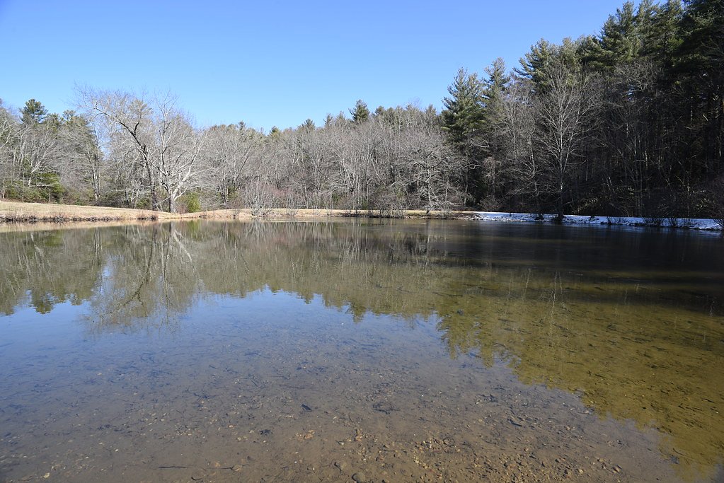
Little Falls sits at 1,762 feet within Stone Mountain State Park, fed by the Yadkin River, in the hills of North Carolina.
Trail & Hike Details
The Approach
The moderate 2.4-mile out-and-back trail gains 350 feet of elevation on the way to the falls.
Trail Description
The trail to Little Falls is an out-and-back route totaling about 2.4 miles round trip with roughly 350 feet of elevation gain, rated moderate in difficulty. The path is suitable for day hikers and photographers; specific USFS surface, grade, and trail class details are not provided in the available data. Expect typical state-park singletrack and natural tread with some rocky or rooty sections—good footwear and basic navigation preparedness are recommended.
What to Expect
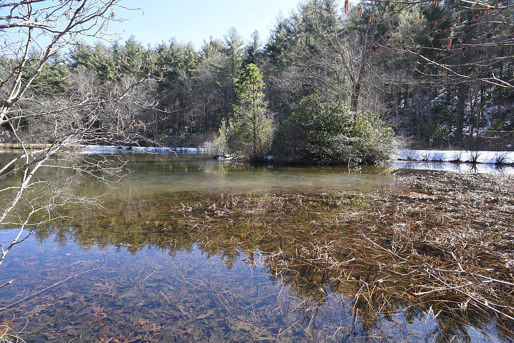
Visitors can expect a peaceful natural setting with a small waterfall surrounded by forested areas. The area may be less crowded compared to larger waterfalls, offering a tranquil experience.
Accessibility
The trail is not wheelchair accessible. Uneven terrain and elevation changes require steady footing.
Frequently Asked Questions
🐶 Are Dogs Allowed at Little Falls?
❌ Dogs are not allowed
Are There Any Fees or Permits Required?
🆖 No fees required
🏊 Is There Swimming at Little Falls?
❌ Swimming is not allowed
When to Visit
Spring and fall are typically the best times to visit due to pleasant weather and vibrant foliage. Summer may also be enjoyable, but prepare for warmer temperatures.
Seasonal Access
The best time to visit is Spring, Summer, and Fall. Winter access may be limited.
Safety Information
Trail conditions may vary, and there may be uneven or slippery terrain. Visitors should exercise caution, especially after rain. Cell service may be limited in the area.
Current Water Conditions
532 ft³/s
Current discharge — how much water is flowing
Lower than usual for this time of year
Based on 62 years of record
1.22 ft
Water depth at gauge
7-Day Discharge Trend
What does this mean for your visit?
Flow is lower than usual for this time of year.
About This Gauge
This gauge is on a nearby waterway and may not reflect exact conditions at the falls.
7-Day Flow Outlook
Based on the USGS gauge YADKIN RIVER AT ELKIN, NC (23 km away).
Today
Barely Flowing
532 cfs
5/10Tomorrow
Low
612 cfs
3/10Sat
Moderate
625 cfs
4/10Sun
Moderate
631 cfs
4/10Mon
Moderate
593 cfs
4/10Tue
Low
505 cfs
6/10Wed
Barely Flowing
497 cfs
5/10Best window: Tue — low flow, sunny (trip score 6/10).
Best time of year: this gauge typically runs highest from late February to early April, peaking in April.
How we calculate this
This is a transparent outlook, not a precise forecast. We take the waterfall's current flow strength (how it ranks against its historical normal for today, from the nearest USGS stream gauge), carry that ranking forward along the gauge's seasonal curve, and nudge it for forecast rain. Confidence is highest for the next day or two and falls further out. Always check official conditions and your own judgment before visiting — high flows can be dangerous.
Know when to go.
Get a free email alert when waterfalls near Sparta hit peak flow. We only send when conditions are worth the trip — no weekly newsletters, no spam.
Weather Forecast
Location & Access
Getting There
Little Falls is located approximately 9.7 miles from Sparta, 9.9 miles from Hays, and 11.6 miles from Ronda. The coordinates for the waterfall are 36.381, -81.0342. Visitors should use GPS to navigate to the area, as signage may be limited.
Get Directions on Google MapsParking
Parking availability is unclear, but visitors may need to park along nearby roads or designated areas if available.
Elevation
1,762 feet above sea level
Coordinates
36.380965° N, -81.034247° W
Land Management
Managed by UNK
Visitor Tips & Gear
Bring sturdy footwear as trail conditions are uncertain. Check weather conditions before visiting, as rain may make trails slippery. Carry water and snacks, as amenities are likely limited.
As an Amazon Associate, we earn from qualifying purchases.
With 2.4 miles and 350 ft of elevation gain, sturdy boots and trekking poles will help on this moderate trail. Sun exposure on the trail makes good sun protection a must in summer.

Polarized Sunglasses (Knockaround)
Cuts glare off the water so you actually see the falls — and your photos turn out better too.

Columbia Watertight II Rain Jacket
Packs into its own pocket, seam-sealed, and keeps you dry from spray and surprise rain.

Earth Pak Waterproof Dry Bag
Keeps your phone and gear dry when waterfall mist soaks everything else.

Waterproof Phone Pouch (AiRunTech)
Cheap insurance — take photos right next to the falls without killing your phone.

Timberland Euro Sprint Mid Waterproof
Trusted waterproof boot with premium leather and grippy rubber sole — reliable on rocky, wet trails.

TrailBuddy Trekking Poles
Lightweight aluminum, cork grips, and flip-locks that actually hold — a best-seller for good reason.
Where to Stay

Quality Inn Jonesville I-77

Surry Inn - Dobson - I-77 - Exit 93

Quality Inn Mount Airy Mayberry

Holiday Inn Express West Jefferson by IHG
Browse vacation cabins and private rentals nearby
Unique outdoor stays — tents, yurts, and treehouses
Rent a campervan or RV for your waterfall road trip
Some links are affiliate links. We may earn a commission at no extra cost to you.
Nearby Campground
Basin Cove Backcountry Camping
7.1 miles away · 8 sites
Overview Basin Cove backcountry is a primitive camp located in historic Basin Cove at Doughton Park on the Blue Ridge Parkway in North Carolina.. Multiple trails allow access to the primitive campground. Click to see a map Doughton Park Hiking Trails Overnight parking for backcountry is permitted at designated areas. From the parkway, the trails descend over 1500 feet into the Basin Cove Area. Easiest trail is the Grassy Gap Fire Road entrance from Longbottom Road. This year-round campground has
Book on Recreation.govAdditional Information
Nearby Attractions
Nearby towns such as Sparta, Hays, and Ronda offer small-town charm and local attractions. Stone Mountain State Park is also within driving distance and offers additional hiking and waterfall opportunities.
Wildlife
The area may feature typical North Carolina wildlife such as birds, deer, and small mammals. Be cautious of snakes and other potentially hazardous wildlife.
Cities near Little Falls
Nearby Waterfalls

Other waterfalls named Little Falls
27 other waterfalls share this name across the U.S.
Writing about Little Falls? Embed this waterfall on your site for free.