
Photo Credits (5)
Difficulty
Moderate
Trail Length
2.4 miles
Trail Type
Out And Back
Elevation Gain
350 ft
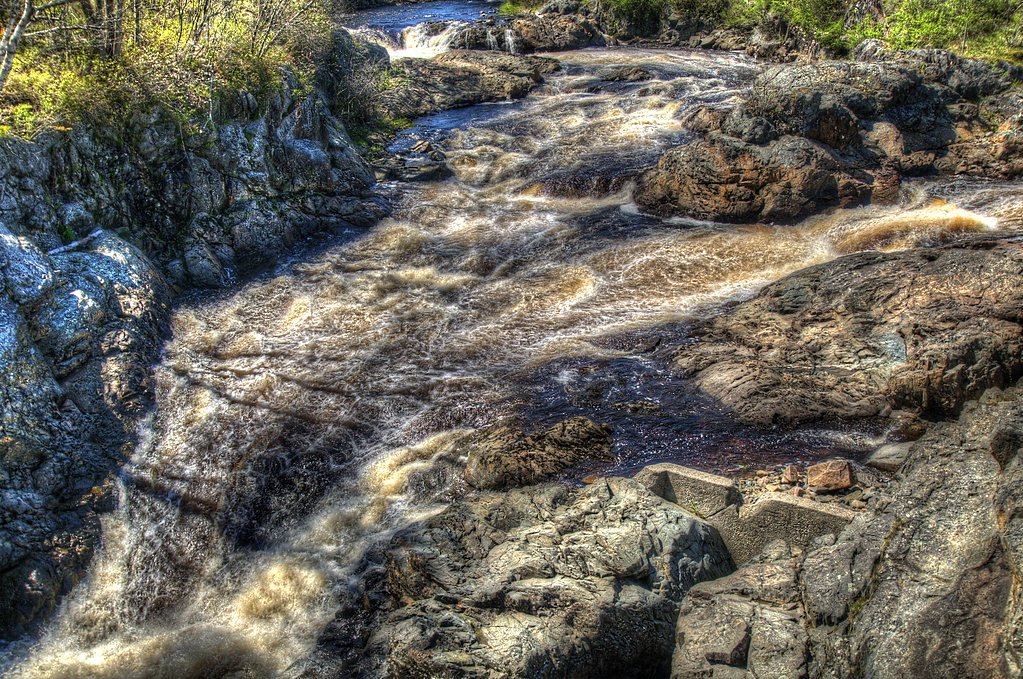
About Little Falls
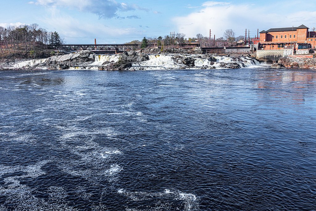
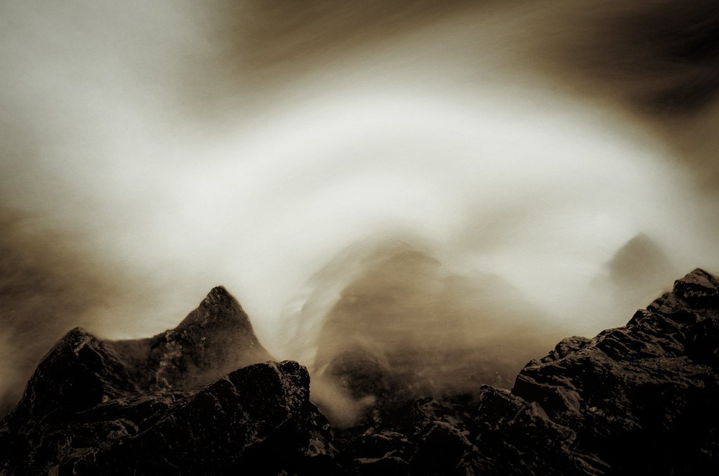
Little Falls is a small, picturesque cascade tucked into the Pingree Working Forest in Maine. Nestled on land designated FORE and managed by the nonprofit JNT, the site is valued for its quiet, natural setting and draws hikers looking for a peaceful retreat amid working-forest landscapes. Visitors appreciate the waterfall’s intimate scale and the sense of seclusion that comes from being on conserved, NGO-managed timberland rather than a heavily developed park. Reaching Little Falls is a rewarding short hike: the route is an out-and-back of about 2.4 miles round trip with roughly 350 feet of elevation gain, rated moderate in difficulty. That manageable distance makes the falls a nice half-day outing for families and day hikers; come prepared for forested terrain and pack water and sturdy shoes for moderate uphill sections on the approach.
The Setting
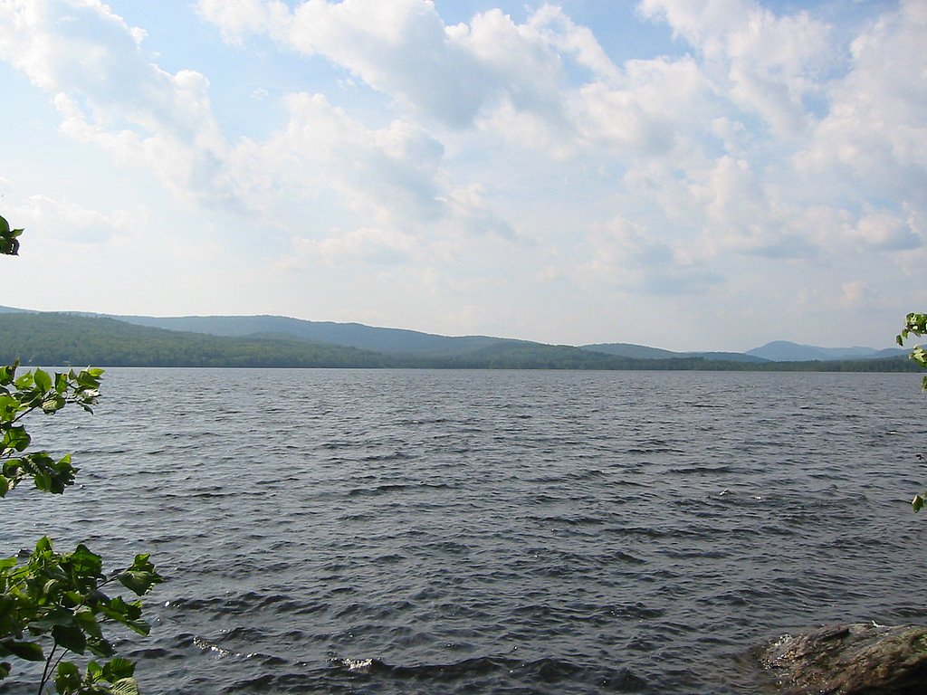
Little Falls sits at 1,486 feet within Pingree Working Forest, fed by the Sandy River, in the foothills of Maine.
Trail & Hike Details
The Approach
The moderate 2.4-mile out-and-back trail gains 350 feet of elevation on the way to the falls.
Trail Description
Trail type: out-and-back; Length: 2.4 miles round trip; Elevation gain: ~350 feet; Difficulty: Moderate. The trail runs through Pingree Working Forest on land managed by the nonprofit JNT (designation: FORE). Specific USFS trail surface, grade, and technical class are not documented for this route; expect natural, wooded trail conditions with typical moderate-grade hiking sections. No USFS trail name or number is available for this access.
What to Expect
Visitors can expect a tranquil setting with a small waterfall surrounded by natural beauty. The area may be suitable for photography and quiet reflection.
Accessibility
The trail is not wheelchair accessible. Uneven terrain and elevation changes require steady footing.
Frequently Asked Questions
🐶 Are Dogs Allowed at Little Falls?
❌ Dogs are not allowed
Are There Any Fees or Permits Required?
🆖 No fees required
🏊 Is There Swimming at Little Falls?
❌ Swimming is not allowed
When to Visit
Spring and early summer are ideal for visiting, as water flow is typically strongest during these seasons.
Seasonal Access
The best time to visit is Spring, Summer, and Fall. Winter access may be limited.
Safety Information
Visitors should be cautious of slippery rocks near the waterfall and avoid visiting during heavy rain or icy conditions.
Current Water Conditions
Based on a USGS gauge 21.8 miles away
58 ft³/s
Current discharge — how much water is flowing
About average for this time of year
Based on 16 years of record
5.45 ft
Water depth at gauge
7-Day Discharge Trend
What does this mean for your visit?
Flow is about average for this time of year.
About This Gauge
This gauge is on a regional waterway. Conditions at the falls may differ, especially after local rain.
7-Day Flow Outlook
Based on the USGS gauge Sandy River near Madrid, Maine (35 km away).
Today
Moderate
66 cfs
4/10Tomorrow
Moderate
62 cfs
5/10Sun
Moderate
78 cfs
8/10Mon
Moderate
71 cfs
4/10Tue
Moderate
89 cfs
5/10Wed
Moderate
77 cfs
5/10Thu
Moderate
63 cfs
5/10Best window: Sun — moderate flow, mostly sunny (trip score 8/10).
Best time of year: this gauge typically runs highest from late March to late May, peaking in April.
How we calculate this
This is a transparent outlook, not a precise forecast. We take the waterfall's current flow strength (how it ranks against its historical normal for today, from the nearest USGS stream gauge), carry that ranking forward along the gauge's seasonal curve, and nudge it for forecast rain. Confidence is highest for the next day or two and falls further out. Always check official conditions and your own judgment before visiting — high flows can be dangerous.
Know when to go.
Get a free email alert when waterfalls near Rangeley hit peak flow. We only send when conditions are worth the trip — no weekly newsletters, no spam.
Weather Forecast
Location & Access
Getting There
Little Falls is located near the town of Gorham, Maine. It can typically be accessed via local roads, but specific directions may vary depending on your starting point.
Get Directions on Google MapsParking
Parking availability is limited and may consist of small roadside pull-offs or nearby parking lots. Visitors should plan accordingly.
Elevation
1,486 feet above sea level
Coordinates
45.031997° N, -70.856181° W
Land Management
Managed by NGO
Visitor Tips & Gear
Visit during spring or after rainfall for the best water flow. Bring bug spray during warmer months, as insects may be present.
As an Amazon Associate, we earn from qualifying purchases.
With 2.4 miles and 350 ft of elevation gain, sturdy boots and trekking poles will help on this moderate trail. Sun exposure on the trail makes good sun protection a must in summer.

Polarized Sunglasses (Knockaround)
Cuts glare off the water so you actually see the falls — and your photos turn out better too.

Columbia Watertight II Rain Jacket
Packs into its own pocket, seam-sealed, and keeps you dry from spray and surprise rain.

Earth Pak Waterproof Dry Bag
Keeps your phone and gear dry when waterfall mist soaks everything else.

Waterproof Phone Pouch (AiRunTech)
Cheap insurance — take photos right next to the falls without killing your phone.

Timberland Euro Sprint Mid Waterproof
Trusted waterproof boot with premium leather and grippy rubber sole — reliable on rocky, wet trails.

TrailBuddy Trekking Poles
Lightweight aluminum, cork grips, and flip-locks that actually hold — a best-seller for good reason.
Where to Stay

Rangeley Saddleback Inn

Rangeley Lake Resort a Ramada by Wyndham

Rangeley Town & Lake

Le Pèlerin - Chalet rustique Écoresponsable en nature - Estrie
Browse vacation cabins and private rentals nearby
Unique outdoor stays — tents, yurts, and treehouses
Rent a campervan or RV for your waterfall road trip
Some links are affiliate links. We may earn a commission at no extra cost to you.
Additional Information
Nearby Attractions
The town of Gorham offers additional outdoor activities and scenic spots to explore.
Wildlife
The area may feature local wildlife such as birds and small mammals. Visitors should observe from a distance.
Cities near Little Falls
Nearby Waterfalls
Other waterfalls named Little Falls
27 other waterfalls share this name across the U.S.
Writing about Little Falls? Embed this waterfall on your site for free.