Photo Credits (5)
Difficulty
Moderate
Trail Length
3.7 km
Trail Type
Loop
Elevation Gain
67 m
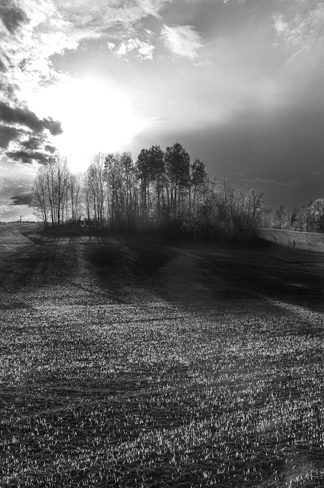
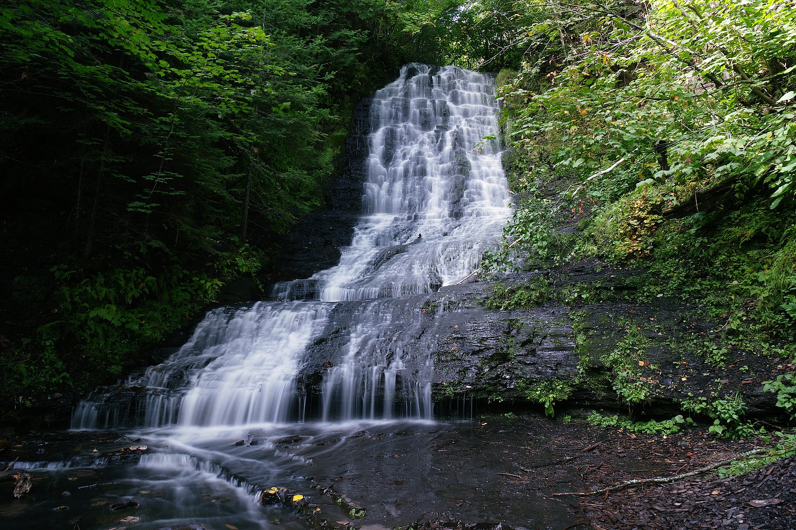
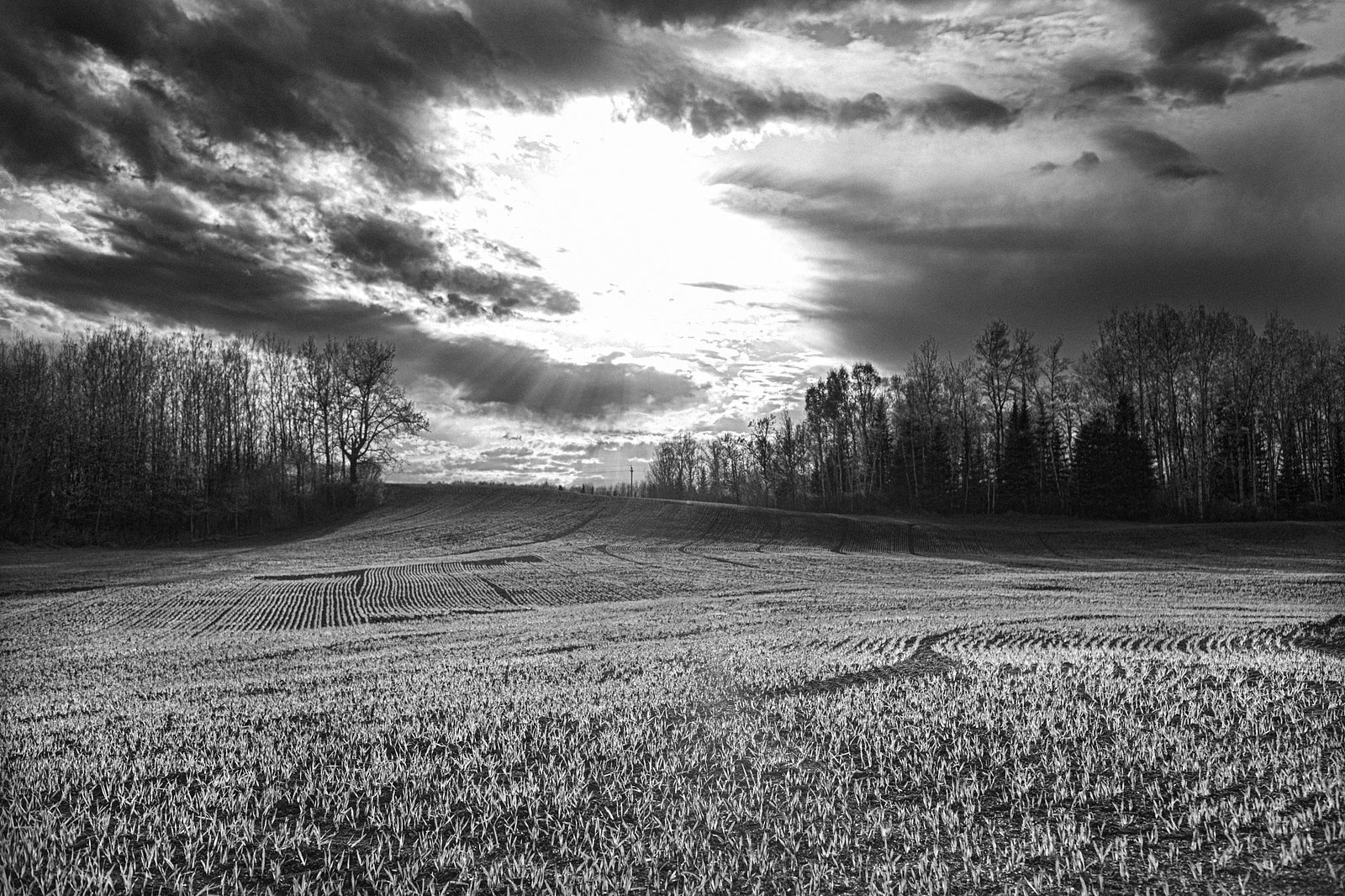
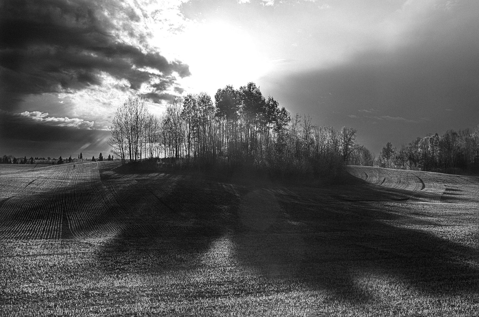
About Little Falls
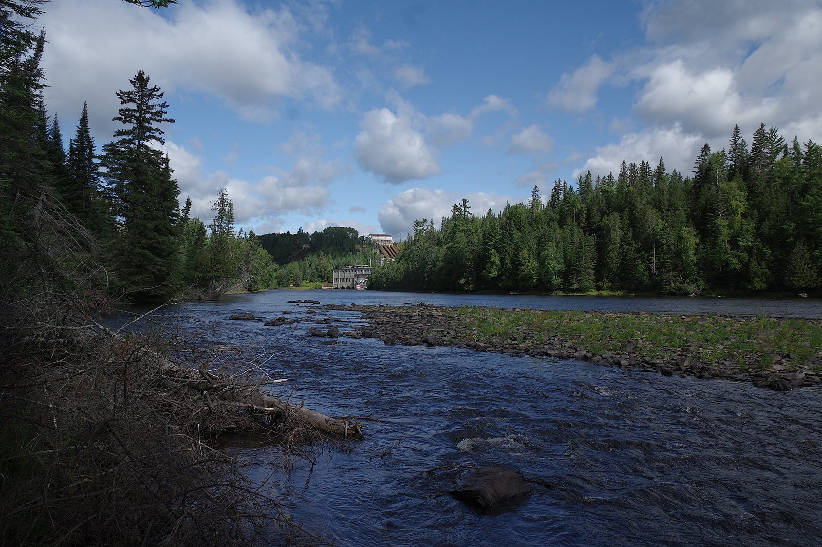
Little Falls is a small, local waterfall feature near Thunder Bay, Ontario (coordinates 48.3917, -89.6153). It appears as a modest cascade on a tributary feeding toward Lake Superior, set in a boreal / mixed-wood landscape with rocky shorelines and forested surroundings. Water flow is likely seasonal and can be much higher in spring runoff and after heavy rains. Specifics about formal development, viewing platforms, or interpretive signage are not confirmed and may be minimal or informal.
The Setting
Little Falls sits at 243 metres within Kakabeka Falls Provincial Park, in the foothills of Ontario.
Why This Waterfall Exists
Little Falls flows over layered sedimentary rock laid down over 1.6-2.5 billion years ago. Over time, the stream has worn through these layers at different rates, creating the step that forms the waterfall.
Nearby Falls Worth Visiting
Kakabeka Falls (40 m) lies 1.4 kilometres to the northwest.
Trail & Hike Details
The Approach
The moderate 3.7-km loop trail gains 67 metres of elevation on the way to the falls.
Trail Description
Detailed, maintained trail information is not confirmed for this site. Expect an informal, possibly short path from a roadside pullout down to the stream or river edge. Trails may be rocky, steep in places, and not signed. Route-finding skills and sturdy footwear are recommended. In winter the approach may require snowshoes or skis and can be icy and more difficult.
What to Expect
A modest cascade or series of small drops amid boreal forest and rocky shores. Flow can be low in late summer and higher in spring. There may be no developed viewing infrastructure (railings, guardrails, steps). Cell coverage may be spotty depending on provider. Facilities (toilets, potable water) are unlikely. Wildlife typical of the region (birds, small mammals, possibility of larger mammals) may be encountered.
Accessibility
The trail is not wheelchair accessible. Uneven terrain and elevation changes require steady footing.
Frequently Asked Questions
🐶 Are Dogs Allowed at Little Falls?
❌ Dogs are not allowed
Are There Any Fees or Permits Required?
🆖 No fees required
🏊 Is There Swimming at Little Falls?
❌ Swimming is not allowed
When to Visit
Spring (snowmelt and rainy season) for the fullest flow and fall for foliage colors. Summer is suitable for milder weather but flow may be reduced. Winter offers a scenic, frozen landscape but requires winter gear and caution for icy approaches.
Seasonal Access
The best time to visit is Spring, Summer, Fall, and Winter. Check with Kakabeka Falls Provincial Park for current conditions.
Safety Information
Hazards may include slippery rocks, unstable or steep banks, cold and fast-moving water, sudden increases in flow after rain or during spring runoff, poor or no cell reception, and potential wildlife encounters. Do not approach edges carelessly. Children should be supervised closely. In winter, ice and snow increase risk, use appropriate winter equipment and caution. Check weather forecasts and local advisories before visiting.
7-Day Flow Outlook
Based on the WSC gauge CORBETT CREEK NEAR MURILLO (7 km away).
Best time of year: this gauge typically runs highest from early April to mid June, peaking in April.
How we calculate this
This is a transparent outlook, not a precise forecast. We take the waterfall's current flow strength (how it ranks against its historical normal for today, from the nearest WSC stream gauge), carry that ranking forward along the gauge's seasonal curve, and nudge it for forecast rain. Confidence is highest for the next day or two and falls further out. Always check official conditions and your own judgment before visiting — high flows can be dangerous.
Know when to go.
Get a free email alert when waterfalls near Thunder Bay hit peak flow. We only send when conditions are worth the trip — no weekly newsletters, no spam.
Weather Forecast
Location & Access
Getting There
The waterfall is located roughly west of Thunder Bay (approx. 16.6 miles by road as noted). Access is typically by local roads off the Trans-Canada Highway (Highway 17) or other secondary roads in the Thunder Bay region. Exact turnoffs and public access points are not confirmed; visitors should use the provided coordinates in a GPS device or mapping app and plan route using local maps or park resources.
Get Directions on Google MapsParking
Parking may be limited to a small pullout or informal roadside parking. There is no confirmed large developed parking lot or visitor center at the site; expect limited and potentially uneven parking surfaces.
Elevation
243 metres above sea level
Coordinates
48.391679° N, -89.615320° W
Land Management
Managed by Ontario Parks
Visitor Tips & Gear
• Use the provided coordinates and a reliable mapping app to locate the site. • Wear sturdy, non-slip footwear; surfaces are likely wet and rocky. • Keep a safe distance from the edge; rocks are slippery and falls can be severe. • Carry water, a small first-aid kit, and a charged phone; do not rely on cellular coverage. • Check local trail/forest service or park resources for any seasonal closures or access advisories. • If visiting in spring or after heavy rain, be aware of stronger currents and higher water levels. • Pack out what you bring; no confirmed trash service on site.
As an Amazon Associate, we earn from qualifying purchases.
With 3.7 km and 67 m of elevation gain, sturdy boots and trekking poles will help on this moderate trail. Icy conditions are common in winter — traction cleats are a smart addition.

Columbia Watertight II Rain Jacket
Packs into its own pocket, seam-sealed, and keeps you dry from spray and surprise rain.

Polarized Sunglasses (Knockaround)
Cuts glare off the water so you actually see the falls — and your photos turn out better too.

Earth Pak Waterproof Dry Bag
Keeps your phone and gear dry when waterfall mist soaks everything else.

Waterproof Phone Pouch (AiRunTech)
Cheap insurance — take photos right next to the falls without killing your phone.

Timberland Euro Sprint Mid Waterproof
Trusted waterproof boot with premium leather and grippy rubber sole — reliable on rocky, wet trails.

TrailBuddy Trekking Poles
Lightweight aluminum, cork grips, and flip-locks that actually hold — a best-seller for good reason.
Where to Stay
Browse vacation cabins and private rentals nearby
Unique outdoor stays — tents, yurts, and treehouses
Rent a campervan or RV for your waterfall road trip
Some links are affiliate links. We may earn a commission at no extra cost to you.
Nearby Campground
Kakabeka Falls Park - Whispering Hills Campground
1.3 km away
Additional Information
Nearby Attractions
Thunder Bay amenities and attractions (museums, shops, services) are the nearest major visitor centers. The Lake Superior shoreline and regional provincial park areas and forests are regionally nearby and offer additional outdoor recreation opportunities. Specific nearby park names and trailheads were not confirmed for this exact coordinate.
Wildlife
Typical boreal/mixed-wood fauna may be present: deer, moose, black bear, small mammals, and a variety of birds. Standard wildlife precautions (store food securely, keep distance) apply.
Cities near Little Falls
Nearby Waterfalls
Other waterfalls named Little Falls
27 other waterfalls share this name across Canada.
Writing about Little Falls? Embed this waterfall on your site for free.