Photo Credits (5)
Difficulty
Moderate
Trail Length
2.4 miles
Trail Type
Out And Back
Elevation Gain
350 ft
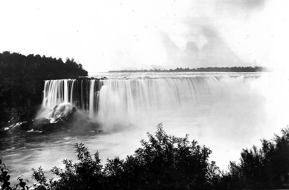
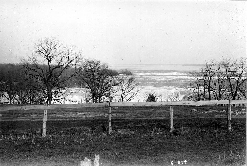
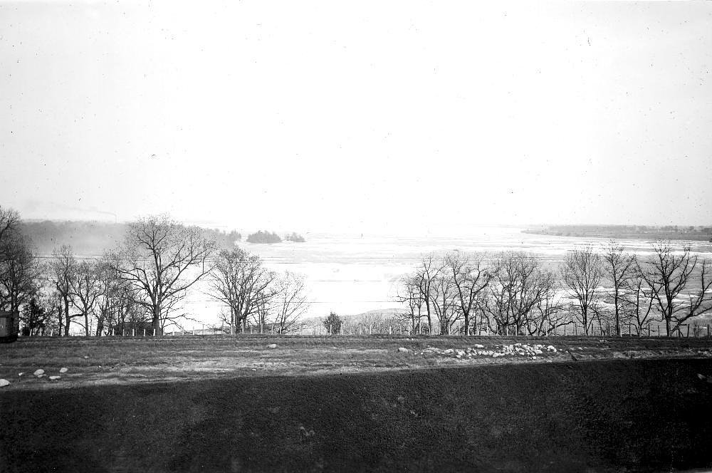
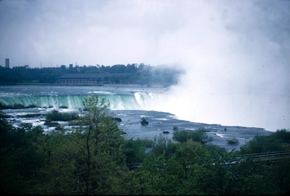
About Horseshoe Falls
Horseshoe Falls is a small, picturesque seasonal waterfall tucked into Nebraska’s Pine Ridge region, just a short drive from Chadron State Park. The falls are at their most dramatic during wetter months or after significant rainfall, when runoff threads through the ridgeline and over the rock ledge to form the horseshoe-shaped drop that gives the feature its name. The setting is intimate and scenic, making it a rewarding quick destination for photographers and day hikers. The most common approach is a 2.4-mile out-and-back hike that climbs roughly 350 feet and is typically rated moderate in difficulty. While the route is short, the grade and occasional uneven terrain make for a bit more challenge than a flat stroll, and sections can become muddy or slippery after rain. Plan for a moderate-effort excursion and check recent conditions if you’re hoping to see strong flow after storms.
Trail & Hike Details
The Approach
The moderate 2.4-mile out-and-back trail gains 350 feet of elevation on the way to the falls.
Trail Description
Out-and-back trail, 2.4 miles round-trip with about 350 feet of elevation gain; rated moderate. The route follows a clearly defined footpath through the Pine Ridge terrain and is suitable for hikers prepared for uneven footing and some uphill sections. Expect the trail to be muddy or slick after rainfall; bring sturdy footwear and allow time for slower footing on wet stretches.
What to Expect
Dogs are welcome.
Accessibility
The trail is not wheelchair accessible. Uneven terrain and elevation changes require steady footing.
Frequently Asked Questions
🐶 Are Dogs Allowed at Horseshoe Falls?
✅ Dogs are allowed
Are There Any Fees or Permits Required?
🤑 Fee: $8.00
🏊 Is There Swimming at Horseshoe Falls?
❌ Swimming is not allowed
When to Visit
Spring and early summer are the best times to visit, as the waterfall is more likely to be flowing due to seasonal rains.
Seasonal Access
The best time to visit is Spring, Summer, and Fall. Winter access may be limited.
Safety Information
Be cautious of slippery rocks near the waterfall, especially after rain. Watch for wildlife and stay on marked trails to avoid getting lost.
Know when to go.
Get a free email alert when waterfalls near Mullen hit peak flow. We only send when conditions are worth the trip — no weekly newsletters, no spam.
Weather Forecast
Location & Access
Getting There
Horseshoe Falls is located within Chadron State Park, Nebraska's oldest state park. The park is accessible via Highway 385, and the falls can be reached by following park signage and trails.
Get Directions on Google MapsParking
Parking is available at Chadron State Park near the trailheads. Visitors should follow park maps to locate the closest parking area to the trail leading to the falls.
Elevation
3,189 feet above sea level
Coordinates
42.417499° N, -101.184602° W
Visitor Tips & Gear
Visit after recent rainfall for the best chance to see the waterfall flowing. Wear sturdy shoes, as the trail may be muddy or uneven. Bring water and sunscreen, especially during warmer months.
As an Amazon Associate, we earn from qualifying purchases.
With 2.4 miles and 350 ft of elevation gain, sturdy boots and trekking poles will help on this moderate trail. Sun exposure on the trail makes good sun protection a must in summer.

Polarized Sunglasses (Knockaround)
Cuts glare off the water so you actually see the falls — and your photos turn out better too.

Columbia Watertight II Rain Jacket
Packs into its own pocket, seam-sealed, and keeps you dry from spray and surprise rain.

Earth Pak Waterproof Dry Bag
Keeps your phone and gear dry when waterfall mist soaks everything else.

Waterproof Phone Pouch (AiRunTech)
Cheap insurance — take photos right next to the falls without killing your phone.

Timberland Euro Sprint Mid Waterproof
Trusted waterproof boot with premium leather and grippy rubber sole — reliable on rocky, wet trails.

TrailBuddy Trekking Poles
Lightweight aluminum, cork grips, and flip-locks that actually hold — a best-seller for good reason.
Where to Stay
Browse vacation cabins and private rentals nearby
Unique outdoor stays — tents, yurts, and treehouses
Rent a campervan or RV for your waterfall road trip
Some links are affiliate links. We may earn a commission at no extra cost to you.
Nearby Campground
Samuel R. McKelvie National Forest
22.4 miles away · 0 sites
Located south of Nenzel in Cherry County, this 116,000-acre national forest is a fantastic representation of the unique Nebraska Sandhills prairie ecosystem. Popular uses of the forest include hunting, fishing, horseback riding, camping and bird watching. There is one small campground located on the southwestern edge of the forest. Steer Creek Campground has 23 campsites, 8 horse corrals, potable water, and the 1-mile Blue Jay hiking trail.The Niobrara River Canoe Launch day use site on the Niobr
Book on Recreation.govAdditional Information
Nearby Attractions
Chadron State Park offers additional hiking trails, picnic areas, and camping facilities. The nearby town of Chadron has museums and restaurants.
Wildlife
The area is home to deer, wild turkeys, and various bird species. Visitors may also encounter small mammals and reptiles.
Cities near Horseshoe Falls
Nearby Waterfalls
Other waterfalls named Horseshoe Falls
14 other waterfalls share this name across the U.S.
Writing about Horseshoe Falls? Embed this waterfall on your site for free.