
Photo Credits (5)
Difficulty
Moderate
Trail Length
2.4 miles
Trail Type
Out And Back
Elevation Gain
350 ft
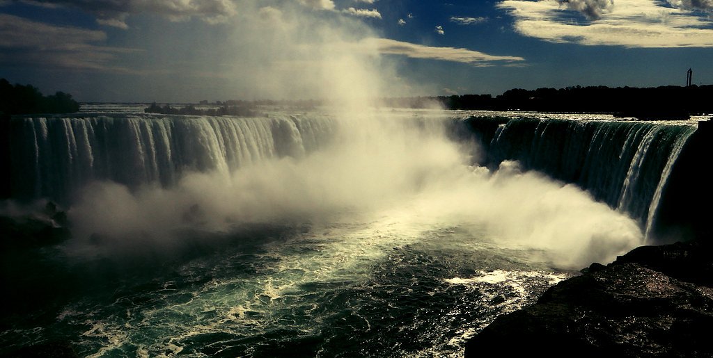
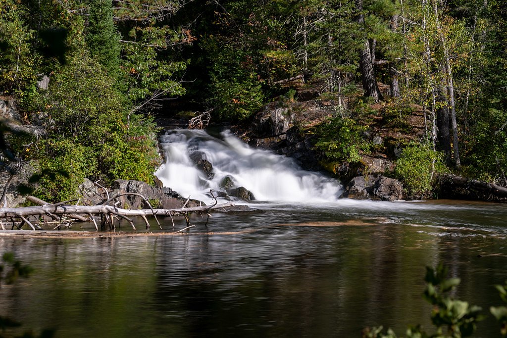
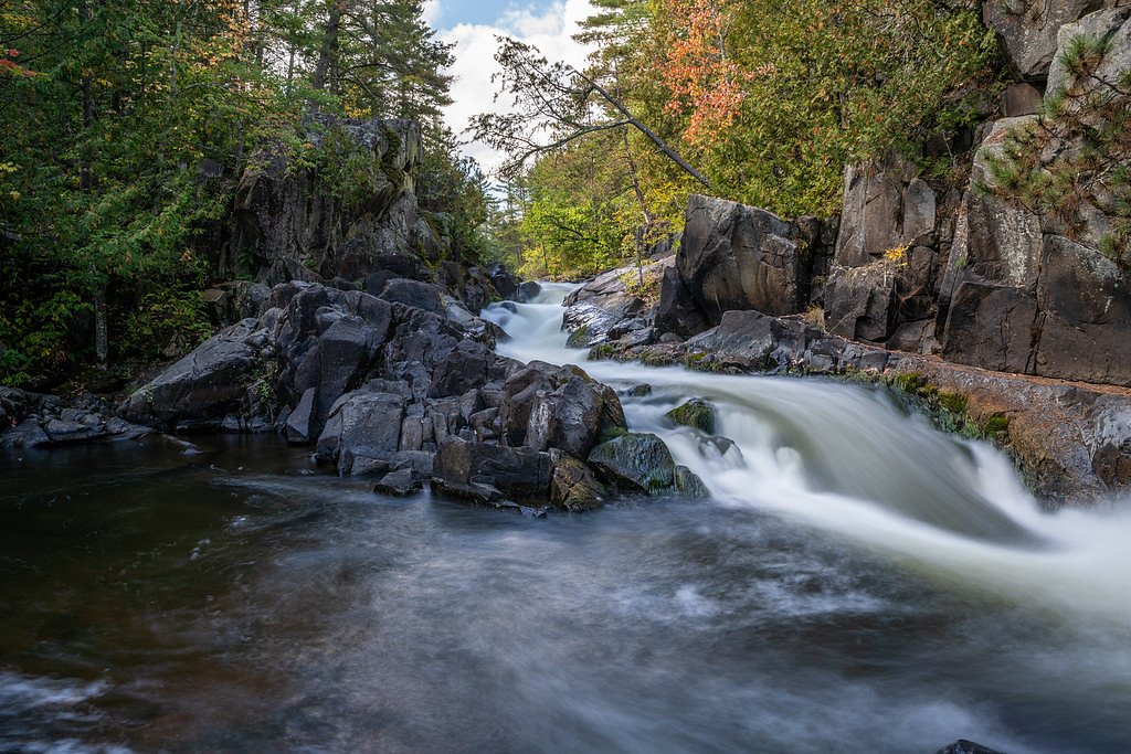
About Horseshoe Falls
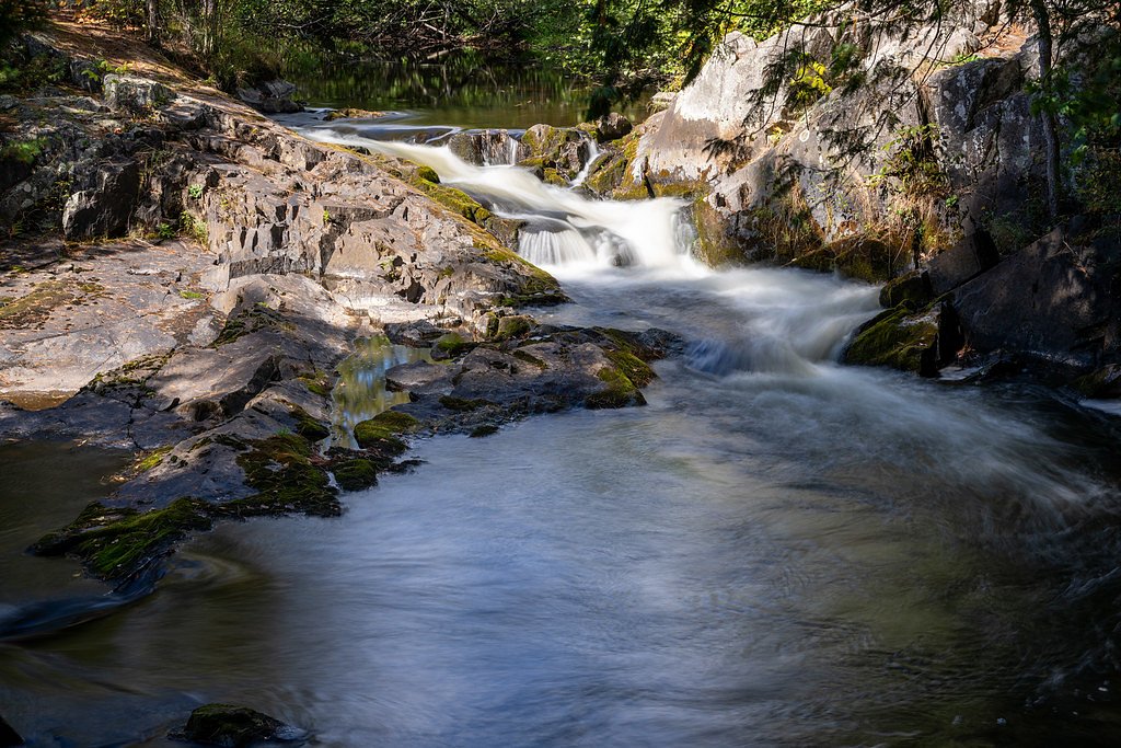
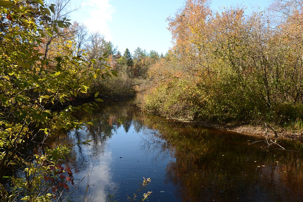
Horseshoe Falls is a compact, picturesque cascade in Marinette County, Wisconsin, named for the curved, horseshoe-like lip of the drop. Tucked into the Marinette County Forest, the falls are surrounded by mature woods that make for a peaceful stop on the Marinette County Waterfall Tour — an easy-to-follow route highlighting several local cascades. The setting is intimate and scenic, a popular spot for photographers and hikers who enjoy a short outing rather than a long backcountry trek. The waterfall and its approaches sit on county-owned land and are managed by Marinette County (land owner/manager: CNTY; land unit: Marinette County Forest; designation: LCA). A 2.4-mile out-and-back trail gains roughly 350 feet and delivers a moderately paced, rewarding hike to the viewing area. Because the site is county-managed rather than on federal USFS land, trail numbering from the U.S. Forest Service is not provided for this route.
The Setting
Horseshoe Falls sits at 997 feet within Marinette County Forest, fed by the Pike River, in the foothills of Wisconsin.
Trail & Hike Details
The Approach
The moderate 2.4-mile out-and-back trail gains 350 feet of elevation on the way to the falls.
Trail Description
Trail length: 2.4 miles round trip (out-and-back). Elevation gain: approximately 350 feet. Difficulty: moderate. The trail to Horseshoe Falls is an out-and-back route of moderate difficulty, gaining about 350 feet over its 2.4-mile length. The path leads through wooded county forest to a compact viewing area at the falls; it is generally well-used and maintained by Marinette County. Surface, grade, and formal trail class are not specified in the available county/USFS data, so hikers should expect natural trail conditions and bring appropriate footwear and water for a moderate woodland hike.
What to Expect
Dogs are welcome.
Accessibility
The trail is not wheelchair accessible. Uneven terrain and elevation changes require steady footing.
Frequently Asked Questions
🐶 Are Dogs Allowed at Horseshoe Falls?
✅ Dogs are allowed
Are There Any Fees or Permits Required?
🤑 Fee: $5.00
🏊 Is There Swimming at Horseshoe Falls?
❌ Swimming is not allowed
When to Visit
Spring and early summer are the best times to visit, as the water flow is typically strongest during these seasons. Fall offers beautiful foliage, while summer provides warm weather for a pleasant hike.
Seasonal Access
The best time to visit is Spring, Summer, and Fall. Winter access may be limited.
Safety Information
Be cautious of slippery rocks near the waterfall, especially after rain. Stay on designated trails to avoid damaging the environment or risking injury.
Current Water Conditions
199 ft³/s
Current discharge — how much water is flowing
About average for this time of year
Based on 83 years of record
2.90 ft
Water depth at gauge
7-Day Discharge Trend
What does this mean for your visit?
Flow is about average for this time of year.
About This Gauge
This gauge is on a nearby waterway and may not reflect exact conditions at the falls.
7-Day Flow Outlook
Based on the USGS gauge PIKE RIVER AT AMBERG, WI (12 km away).
Today
Strong
201 cfs
10/10Tomorrow
Strong
200 cfs
10/10Mon
Roaring
233 cfs
6/10Tue
Roaring
234 cfs
6/10Wed
Roaring
250 cfs
6/10Thu
Roaring
246 cfs
6/10Fri
Roaring
231 cfs
6/10Best window: Today — strong flow, sunny (trip score 10/10).
Best time of year: this gauge typically runs highest from late March to late June, peaking in April.
How we calculate this
This is a transparent outlook, not a precise forecast. We take the waterfall's current flow strength (how it ranks against its historical normal for today, from the nearest USGS stream gauge), carry that ranking forward along the gauge's seasonal curve, and nudge it for forecast rain. Confidence is highest for the next day or two and falls further out. Always check official conditions and your own judgment before visiting — high flows can be dangerous.
Know when to go.
Get a free email alert when waterfalls near Dunbar hit peak flow. We only send when conditions are worth the trip — no weekly newsletters, no spam.
Weather Forecast
Location & Access
Getting There
Horseshoe Falls is located near the town of Dunbar, Wisconsin. It can be accessed via Horseshoe Falls Road, which is part of the Marinette County Waterfall Tour. Follow signs for the waterfall tour to reach the site.
Get Directions on Google MapsParking
There is a small parking area near the trailhead for Horseshoe Falls. Parking availability may be limited during peak seasons.
Elevation
997 feet above sea level
Coordinates
45.548018° N, -88.136784° W
Land Management
Managed by CNTY
Visitor Tips & Gear
Visit early in the day to avoid crowds, especially during weekends or peak seasons. Wear sturdy shoes as the trail may be muddy after rain. Bring a camera to capture the scenic views.
As an Amazon Associate, we earn from qualifying purchases.
With 2.4 miles and 350 ft of elevation gain, sturdy boots and trekking poles will help on this moderate trail. Sun exposure on the trail makes good sun protection a must in summer.

Polarized Sunglasses (Knockaround)
Cuts glare off the water so you actually see the falls — and your photos turn out better too.

Columbia Watertight II Rain Jacket
Packs into its own pocket, seam-sealed, and keeps you dry from spray and surprise rain.

Earth Pak Waterproof Dry Bag
Keeps your phone and gear dry when waterfall mist soaks everything else.

Waterproof Phone Pouch (AiRunTech)
Cheap insurance — take photos right next to the falls without killing your phone.

Timberland Euro Sprint Mid Waterproof
Trusted waterproof boot with premium leather and grippy rubber sole — reliable on rocky, wet trails.

TrailBuddy Trekking Poles
Lightweight aluminum, cork grips, and flip-locks that actually hold — a best-seller for good reason.
Where to Stay

Pembine Cabin with Expansive Yard, Fire Pit and Grill!

Exxon Quik Stop & Motel

Crivitz Lodge

Four Seasons Island Resort
Browse vacation cabins and private rentals nearby
Unique outdoor stays — tents, yurts, and treehouses
Rent a campervan or RV for your waterfall road trip
Some links are affiliate links. We may earn a commission at no extra cost to you.
Nearby Campground
Bear Lake Campground (Chequamegon-Nicolet NF, WI)
18.4 miles away · 27 sites
Overview If you are interested in a quiet campground and excellent pike fishing, Bear Lake Campground is for you. Campsites are situated along the wooded shore and ridge with outstanding views of the lake.Recreation The Chequamegon-Nicolet National Forest has an abundance of outdoor recreation opportunities. Those most enjoyed at Bear Lake are fishing, swimming, kayaking, and canoeing. The Rat River trail is a good nearby hiking opportunity.Facilities Bear Lake Campground has 27 sites. A majority
Book on Recreation.govAdditional Information
Nearby Attractions
Other waterfalls on the Marinette County Waterfall Tour, such as Long Slide Falls and Twelve Foot Falls. The nearby town of Dunbar also offers small shops and dining options.
Wildlife
Visitors may encounter birds, deer, and other small woodland animals in the area.
Cities near Horseshoe Falls
Nearby Waterfalls
Other waterfalls named Horseshoe Falls
14 other waterfalls share this name across the U.S.
Writing about Horseshoe Falls? Embed this waterfall on your site for free.