Photo Credits (5)
Difficulty
Easy
Trail Length
1.0 miles
Trail Type
Out And Back
About Big Falls
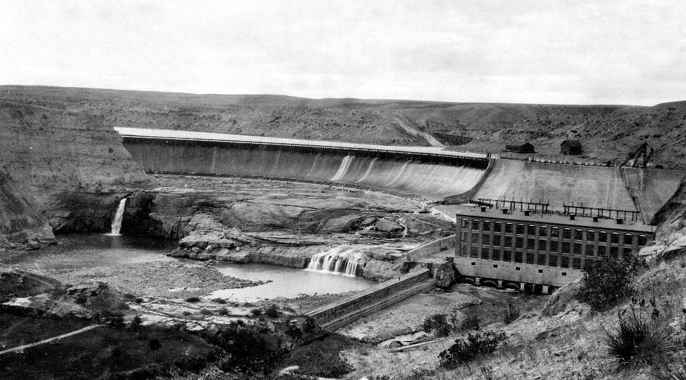
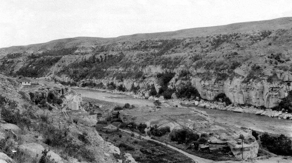
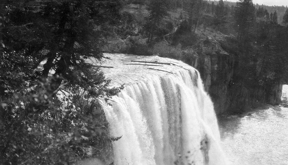
Big Falls sits on the Niobrara River in northeastern Nebraska, a peaceful riverside cascade framed by riparian trees and exposed rock that feels like a quiet retreat for photographers and day-hikers. The waterfall and nearby river corridors open into several scenic viewpoints, making it an easy-to-reach spot for those seeking a short escape without a long backcountry push. The most common approach is a 2.4-mile out-and-back route that gains about 350 feet and is generally rated moderate, so expect some uphill walking on the way in. There is no developed camping immediately adjacent to the falls, so most visitors plan Big Falls as a day outing; the nearest developed campground is at Samuel R. McKelvie National Forest, roughly 37.5 km away. Pack water, a camera, and sturdy shoes, and allow extra time to linger at the river overlooks and capture the changing light on the cascade and surrounding cliffs.
Trail & Hike Details
Trail Description
This route is a 2.4-mile out-and-back trail with approximately 350 feet of elevation gain and a moderate difficulty rating. The trail follows a defined path through wooded riparian areas and opens onto river overlooks and the falls, with several short uphill pitches on the approach. Specific USFS trail surface, grade, or class data for this route is not provided in the available dataset, so wear sturdy footwear, plan for uneven or natural surfaces, and allow extra time for photo stops and river viewing.
What to Expect
Dogs are welcome.
Accessibility
The trail is not wheelchair accessible. Uneven terrain and elevation changes require steady footing.
Frequently Asked Questions
🐶 Are Dogs Allowed at Big Falls?
✅ Dogs are allowed
Are There Any Fees or Permits Required?
🆖 No fees required
🏊 Is There Swimming at Big Falls?
❌ Swimming is not allowed
When to Visit
Spring and early summer are ideal times to visit, as the waterfall flow is typically stronger due to snowmelt and rainfall.
Seasonal Access
The best time to visit is Spring, Summer, and Fall. Winter access may be limited.
Safety Information
Exercise caution near the waterfall, as rocks can be slippery. Be aware of ticks and other insects in the area.
Know when to go.
Get a free email alert when waterfalls near Mullen hit peak flow. We only send when conditions are worth the trip — no weekly newsletters, no spam.
Weather Forecast
The Terrain, Seen by LiDAR
Aircraft-mounted lasers measured this ground to within inches. Trees and buildings are digitally stripped away, leaving the bare shape of the land the water has carved.
The bare-earth surface loses about 47 feet through the falls, but gradually, the profile of a cascade rather than a plunge. The ground at the falls is roughly 3,231 feet above sea level.
The ground changes about 47 feet in the 500 feet above the falls and 33 feet in the 500 feet below. The falls face south and sit in full sun for most of the day, best photographed early or late.
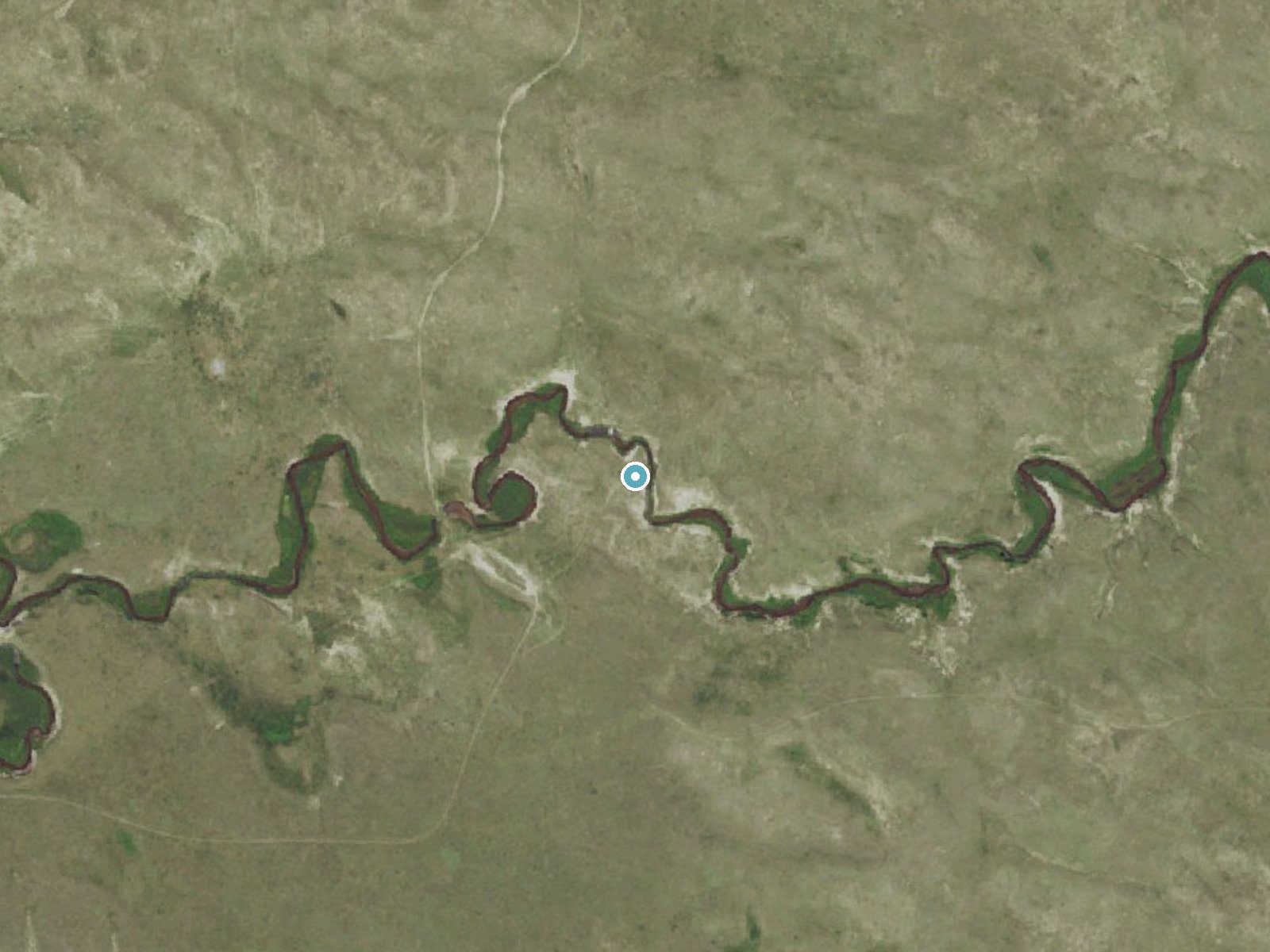
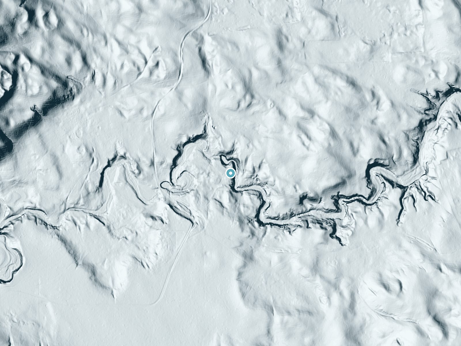
Drag to compare. The dot marks the waterfall. The frame is about a mile across.
- Ground elevation
- 3,231 feet
- Measured by 1-meter lidar
- Drop at the falls
- About 47 feet
- Change in ground height within ~250 feet of the falls
- Faces
- South
- Sunlit most of the day. Go early or late for softer light.
A slice through the lidar ground surface, from above the falls to downstream (heading south).
Elevation data: USGS 3D Elevation Program. Aerial imagery: USGS The National Map. Public domain.
Location & Access
Getting There
Big Falls is located near the town of Valentine, Nebraska, within the Niobrara River Valley. Access typically involves driving to a nearby parking area and then hiking a short distance to the falls.
Get Directions on Google MapsParking
Parking is available near the trailhead, but spaces may be limited during peak seasons.
Elevation
3,222 feet above sea level
Coordinates
42.417776° N, -101.229325° W
Visitor Tips & Gear
Wear sturdy shoes, as the trail may have uneven or muddy sections. Bring water and insect repellent, especially during the summer months.
Where to Stay
Browse vacation cabins and private rentals nearby
Unique outdoor stays — tents, yurts, and treehouses
Rent a campervan or RV for your waterfall road trip
Some links are affiliate links. We may earn a commission at no extra cost to you.
Nearby Campground
Samuel R. McKelvie National Forest
23.3 miles away · 0 sites
Located south of Nenzel in Cherry County, this 116,000-acre national forest is a fantastic representation of the unique Nebraska Sandhills prairie ecosystem. Popular uses of the forest include hunting, fishing, horseback riding, camping and bird watching. There is one small campground located on the southwestern edge of the forest. Steer Creek Campground has 23 campsites, 8 horse corrals, potable water, and the 1-mile Blue Jay hiking trail.The Niobrara River Canoe Launch day use site on the Niobr
Book on Recreation.govAdditional Information
Nearby Attractions
Niobrara National Scenic River, Smith Falls State Park, and Fort Niobrara National Wildlife Refuge.
Wildlife
The area is home to various bird species, deer, and other small wildlife. Visitors may also encounter insects such as mosquitoes during warmer months.
Nearby Waterfalls
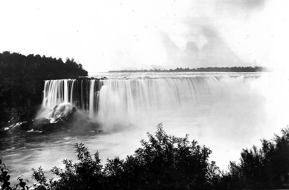
Other waterfalls named Big Falls
23 other waterfalls share this name across the U.S.
Writing about Big Falls? Embed this waterfall on your site for free.