Photo Credits (4)
Difficulty
Moderate
Trail Length
2.4 miles
Trail Type
Out And Back
Elevation Gain
350 ft
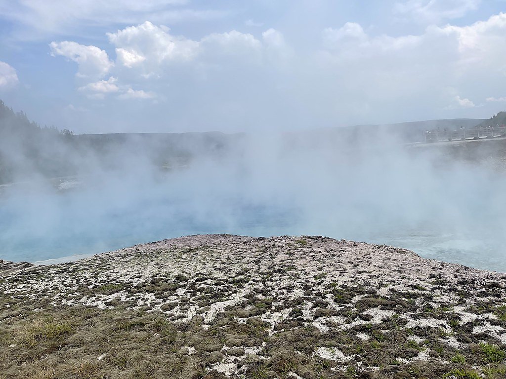
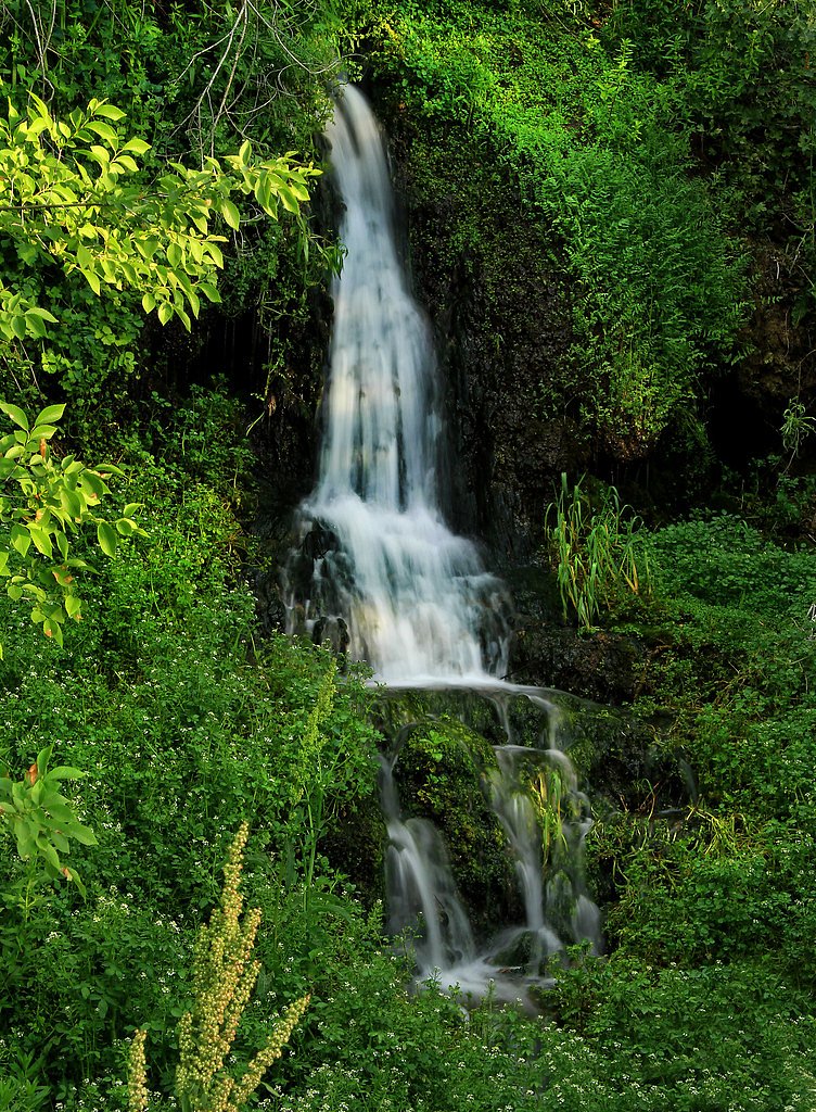
About Big Falls
Big Falls is a dramatic waterfall set within Boise National Forest and managed by the U.S. Forest Service. Framed by dense forest, the falls make a rewarding destination for photographers and day-hikers looking for a relatively quick escape into wild Idaho scenery. The hike to the viewpoint is a manageable outing: the established trail is an out-and-back of about 2.4 miles with roughly 350 feet of elevation gain and is typically rated moderate. If you’re planning an overnight, note that the nearest developed campground (Park Creek) lies about 12.6 km away.
The Setting
Big Falls sits at 3,484 feet within Boise National Forest, fed by the South Fork Payette River, in the mountains of Idaho.
Trail & Hike Details
The Approach
The moderate 2.4-mile out-and-back trail gains 350 feet of elevation on the way to the falls.
Trail Description
Trail type: out-and-back; Distance: 2.4 miles; Elevation gain: ~350 ft; Difficulty: moderate. The route is a short, clearly routed hike that gains elevation in steady sections—moderate fitness is recommended for the climbs. (No USFS trail number, surface classification, or grade was provided in the supplied data.)
What to Expect
Dogs are welcome.
Accessibility
The trail is not wheelchair accessible. Uneven terrain and elevation changes require steady footing.
Frequently Asked Questions
🐶 Are Dogs Allowed at Big Falls?
✅ Dogs are allowed
Are There Any Fees or Permits Required?
🆖 No fees required
🏊 Is There Swimming at Big Falls?
❌ Swimming is not allowed
When to Visit
The best time to visit is during spring and early summer when the water flow is at its peak due to snowmelt.
Seasonal Access
The best time to visit is Spring, Summer, and Fall. Winter access may be limited. Check with Boise National Forest for seasonal road closures.
Safety Information
Be cautious near the edge of the viewing area as rocks can be slippery. Check weather conditions before visiting, as the trail may become hazardous during heavy rain or snow.
Current Water Conditions
775 ft³/s
Current discharge — how much water is flowing
Lower than usual for this time of year
Based on 84 years of record
3.91 ft
Water depth at gauge
7-Day Discharge Trend
What does this mean for your visit?
Flow is lower than usual for this time of year.
About This Gauge
This gauge is on a nearby waterway and may not reflect exact conditions at the falls.
7-Day Flow Outlook
Based on the USGS gauge SOUTH FORK PAYETTE RIVER AT LOWMAN, ID (8 km away).
Today
Barely Flowing
775 cfs
5/10Tomorrow
Barely Flowing
755 cfs
5/10Sun
Barely Flowing
728 cfs
5/10Mon
Barely Flowing
708 cfs
5/10Tue
Barely Flowing
675 cfs
5/10Wed
Barely Flowing
696 cfs
3/10Thu
Barely Flowing
649 cfs
5/10Best window: Today — barely flowing flow, sunny (trip score 5/10).
Best time of year: this gauge typically runs highest from mid April to mid July, peaking in June.
How we calculate this
This is a transparent outlook, not a precise forecast. We take the waterfall's current flow strength (how it ranks against its historical normal for today, from the nearest USGS stream gauge), carry that ranking forward along the gauge's seasonal curve, and nudge it for forecast rain. Confidence is highest for the next day or two and falls further out. Always check official conditions and your own judgment before visiting — high flows can be dangerous.
Know when to go.
Get a free email alert when waterfalls near Lowman hit peak flow. We only send when conditions are worth the trip — no weekly newsletters, no spam.
Weather Forecast
Location & Access
Getting There
Big Falls is located near Ashton, Idaho, within the Caribou-Targhee National Forest. It can be accessed via a short drive from Highway 20, followed by a gravel road leading to the parking area.
Get Directions on Google MapsParking
There is a designated parking area near the trailhead, but availability may be limited during peak seasons.
Elevation
3,484 feet above sea level
Coordinates
44.066285° N, -115.723166° W
Land Management
Managed by USFS
Visitor Tips & Gear
Visit early in the morning or on weekdays to avoid crowds. Wear sturdy shoes as the trail may be muddy or slippery, especially after rain.
As an Amazon Associate, we earn from qualifying purchases.
With 2.4 miles and 350 ft of elevation gain, sturdy boots and trekking poles will help on this moderate trail. Sun exposure on the trail makes good sun protection a must in summer.

Polarized Sunglasses (Knockaround)
Cuts glare off the water so you actually see the falls — and your photos turn out better too.

Columbia Watertight II Rain Jacket
Packs into its own pocket, seam-sealed, and keeps you dry from spray and surprise rain.

Earth Pak Waterproof Dry Bag
Keeps your phone and gear dry when waterfall mist soaks everything else.

Waterproof Phone Pouch (AiRunTech)
Cheap insurance — take photos right next to the falls without killing your phone.

Timberland Euro Sprint Mid Waterproof
Trusted waterproof boot with premium leather and grippy rubber sole — reliable on rocky, wet trails.

TrailBuddy Trekking Poles
Lightweight aluminum, cork grips, and flip-locks that actually hold — a best-seller for good reason.
Where to Stay

Idaho City Hotel

The Gold Mine Hotel

Ski-In Out Retreat - Trailhead & Mountain Views

Mountain Condo Ski Access & Sunset Deck
Browse vacation cabins and private rentals nearby
Unique outdoor stays — tents, yurts, and treehouses
Rent a campervan or RV for your waterfall road trip
Some links are affiliate links. We may earn a commission at no extra cost to you.
Nearby Campground
PARK CREEK (IDAHO)
7.9 miles away · 26 sites
Overview Park Creek Campground is located 4 miles from Lowman, Idaho, off the beaten path at the confluence of Park and Clear Creeks. Visitors enjoy fishing, hunting and exploring local trails.Recreation Park Creek and Clear Creek both offer good trout fishing. Various hiking, biking, horseback and off-road vehicle riding trails are in the vicinity.Facilities The campground contains two group sites available by advanced reservations, each can accommodate up to 100 people per group site. The Rainb
Book on Recreation.govNearby Hot Springs
Hot springs near Lowman, Idaho
Pine Flat Hot Springs
Pine Flat Hot Springs erupts at 138 degrees Fahrenheit on Forest Service land in Boise National Forest, just 110 meters from Ba...

Danskin Creek Hot Spring
Danskin Creek Hot Spring flows at a soak-ready 106 degrees Fahrenheit, emerging just 58 feet from Banks Lowman Road in the Bois...

Dan Hodges Hot Spring
Dan Hodges Hot Spring emerges at 140 degrees Fahrenheit right along Riverview Way in Boise County, just 90 feet from the road. ...
Corder Hot Spring
Corder Hot Spring sits just nine feet from Fry Drive near Idaho City, making it among the most accessible thermal springs in Bo...
Donlay Ranch Hot Spring
Donlay Ranch Hot Spring flows at 131 degrees Fahrenheit just 115 feet from Southfork Road in the Boise National Forest, combini...
Haven Lodge Hot Spring
Haven Lodge Hot Spring runs 147°F through Boise National Forest land at 4,000 feet, just a short walk from the Ponderosa Pine S...
Looking for a soak after your hike? Explore more hot springs near Lowman, Idaho on SoakingSprings.
Explore Idaho springsAdditional Information
Nearby Attractions
Mesa Falls Scenic Byway, Harriman State Park, Yellowstone National Park (approximately 1.5 hours away).
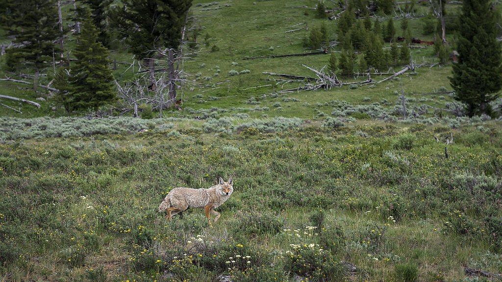
Wildlife
The area is home to various wildlife, including deer, birds, and occasionally bears. Always practice caution and keep a safe distance from animals.
Cities near Big Falls
Nearby Waterfalls
Other waterfalls named Big Falls
23 other waterfalls share this name across the U.S.
Writing about Big Falls? Embed this waterfall on your site for free.