Photo Credits (1)
Difficulty
Moderate
Trail Length
2.4 miles
Trail Type
Out And Back
Elevation Gain
350 ft
About Cedar Falls
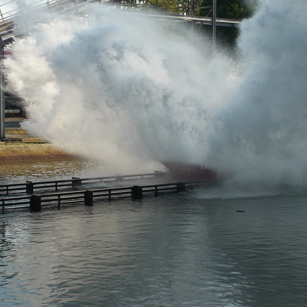
Cedar Falls in South Carolina is a peaceful, picture-perfect cascade known for its wide sheet of water flowing over a rocky ledge. Nestled in a wooded setting, the falls offer a tranquil spot for photos, short nature breaks, and quiet reflection along the river. The site’s approachable setting makes it a popular stop for day hikers and visitors seeking a scenic short outing. Note that "Cedar Falls" is a name shared by multiple places (see Wikipedia disambiguation), so be sure you’re headed to the South Carolina location. The most commonly used access route here leads to a short, well-maintained path that brings you right to the base of the falls, where the rocky ledge and pool create a classic waterfall scene.
The Setting
Cedar Falls sits at 374 feet along the Hanging Rock Creek, in the coastal lowlands of South Carolina.
Trail & Hike Details
The Approach
The moderate 2.4-mile out-and-back trail gains 350 feet of elevation on the way to the falls.
Trail Description
Trail length: 2.4 miles round-trip (out-and-back); elevation gain: 350 feet; difficulty: moderate. The route follows a well-maintained footpath through wooded terrain and leads directly to the falls, offering intermittent views of the river along the way. Expect a moderate climb on the return as you gain roughly 350 feet overall; the trail is suitable for hikers comfortable with moderate grades and a few uneven sections.
What to Expect
Dogs are welcome.
Accessibility
The trail is not wheelchair accessible. Uneven terrain and elevation changes require steady footing.
Frequently Asked Questions
🐶 Are Dogs Allowed at Cedar Falls?
✅ Dogs are allowed
Are There Any Fees or Permits Required?
🆖 No fees required
🏊 Is There Swimming at Cedar Falls?
❌ Swimming is not allowed
When to Visit
Spring and fall are the best times to visit Cedar Falls, as the weather is mild and the surrounding foliage enhances the scenery.
Seasonal Access
The best time to visit is Spring, Summer, and Fall. Winter access may be limited.
Safety Information
Exercise caution near the water, as rocks can be slippery. Be aware of changing weather conditions and avoid visiting during heavy rain, as the river may swell.
Current Water Conditions
7 ft³/s
Current discharge — how much water is flowing
About average for this time of year
Based on 31 years of record
-0.08 ft
Water depth at gauge
7-Day Discharge Trend
What does this mean for your visit?
Flow is about average for this time of year.
About This Gauge
This gauge is on a nearby waterway and may not reflect exact conditions at the falls.
7-Day Flow Outlook
Based on the USGS gauge HANGING ROCK CREEK NR KERSHAW, SC (10 km away).
Today
Low
8 cfs
3/10Tomorrow
Moderate
10 cfs
4/10Mon
Moderate
9 cfs
4/10Tue
Low
7 cfs
6/10Wed
Barely Flowing
6 cfs
5/10Thu
Barely Flowing
7 cfs
5/10Fri
Low
7 cfs
3/10Best window: Tue — low flow, sunny (trip score 6/10).
Best time of year: this gauge typically runs highest from late February to early April, peaking in March.
How we calculate this
This is a transparent outlook, not a precise forecast. We take the waterfall's current flow strength (how it ranks against its historical normal for today, from the nearest USGS stream gauge), carry that ranking forward along the gauge's seasonal curve, and nudge it for forecast rain. Confidence is highest for the next day or two and falls further out. Always check official conditions and your own judgment before visiting — high flows can be dangerous.
Know when to go.
Get a free email alert when waterfalls near Heath Springs hit peak flow. We only send when conditions are worth the trip — no weekly newsletters, no spam.
Weather Forecast
Location & Access
Getting There
Cedar Falls is located in Cedar Falls Park, near Fountain Inn, South Carolina. The park is accessible by car, and visitors can follow signs to the parking area.
Get Directions on Google MapsParking
There is a designated parking area at Cedar Falls Park, which is free of charge.
Elevation
374 feet above sea level
Coordinates
34.540428° N, -80.685352° W
Visitor Tips & Gear
Visit early in the day to avoid crowds, especially on weekends. Bring a camera to capture the beautiful scenery, and wear comfortable walking shoes for the short trail.
As an Amazon Associate, we earn from qualifying purchases.
With 2.4 miles and 350 ft of elevation gain, sturdy boots and trekking poles will help on this moderate trail. Sun exposure on the trail makes good sun protection a must in summer.

Polarized Sunglasses (Knockaround)
Cuts glare off the water so you actually see the falls — and your photos turn out better too.

Columbia Watertight II Rain Jacket
Packs into its own pocket, seam-sealed, and keeps you dry from spray and surprise rain.

Earth Pak Waterproof Dry Bag
Keeps your phone and gear dry when waterfall mist soaks everything else.

Waterproof Phone Pouch (AiRunTech)
Cheap insurance — take photos right next to the falls without killing your phone.

Timberland Euro Sprint Mid Waterproof
Trusted waterproof boot with premium leather and grippy rubber sole — reliable on rocky, wet trails.

TrailBuddy Trekking Poles
Lightweight aluminum, cork grips, and flip-locks that actually hold — a best-seller for good reason.
Where to Stay

Executive Inn Kershaw

Quality Inn Lancaster

Super 8 by Wyndham Lancaster

Landsford Inn
Browse vacation cabins and private rentals nearby
Unique outdoor stays — tents, yurts, and treehouses
Rent a campervan or RV for your waterfall road trip
Some links are affiliate links. We may earn a commission at no extra cost to you.
Additional Information
Nearby Attractions
Nearby attractions include the city of Fountain Inn and other parks along the Reedy River.
Wildlife
Visitors may encounter birds, squirrels, and other small wildlife in the area.
Cities near Cedar Falls
Other waterfalls named Cedar Falls
8 other waterfalls share this name across the U.S.
Writing about Cedar Falls? Embed this waterfall on your site for free.