Photo Credits (5)
Difficulty
Moderate
Trail Length
2.4 miles
Trail Type
Out And Back
Elevation Gain
350 ft
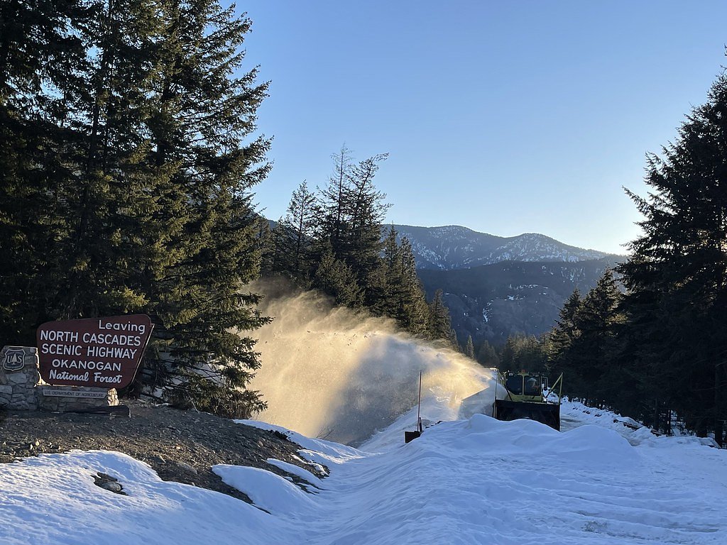
About Cedar Falls
Cedar Falls sits within Washington’s Okanogan National Forest and is managed by the U.S. Forest Service. The name “Cedar Falls” appears in multiple places (per Wikipedia), so hikers should look for the Cedar Creek route — USFS Trail CEDAR CREEK, Trail #476 — when planning a visit. The setting is forested and approachable, making it a pleasant destination for a moderate day hike. USFS records list Cedar Creek Trail #476 at 9.33 GIS miles overall, while the commonly used out-and-back route to reach the waterfall covers about 2.4 miles with roughly 350 feet of elevation gain and is typically rated moderate. The Forest Service classifies the trail as Class N; surface and typical grade are not available in the USFS dataset. This combination of manageable distance and steady uphill sections makes Cedar Falls a rewarding option for hikers looking for a short, scenic outing in Okanogan National Forest.
The Setting
Cedar Falls sits at 3,510 feet within Okanogan National Forest, fed by the Methow River, in the mountains of Washington.
Trail & Hike Details
The Approach
The moderate hike follows Cedar Creek (#476), a 2.4-mile out-and-back trail over n/a. Expect 350 feet of elevation gain with grades of N/A.
USFS Trail
CEDAR CREEK #476
Trail Class
Class 0
Surface
Avg Grade
USFS Segment
9.33 miTrail Description
Trail: CEDAR CREEK (USFS Trail #476) Length: ~2.4 miles (popular out-and-back route to the falls); USFS GIS miles for Trail #476: 9.33 Elevation gain: ~350 ft Difficulty/type: Moderate; out-and-back USFS trail class: N Surface: N/A (not available in USFS data) Typical grade: N/A (not available in USFS data) Notes: The route follows Cedar Creek Trail #476 through forested terrain with a steady but moderate climb to the waterfall. Consult USFS maps for the full extent of Trail #476 and be aware that surface and grade details are not provided in the USFS dataset.
What to Expect
Dogs are welcome.
Accessibility
The trail is not wheelchair accessible. Uneven terrain and elevation changes require steady footing.
Frequently Asked Questions
🐶 Are Dogs Allowed at Cedar Falls?
✅ Dogs are allowed
Are There Any Fees or Permits Required?
🆖 No fees required
🏊 Is There Swimming at Cedar Falls?
❌ Swimming is not allowed
When to Visit
Spring and early summer are the best times to visit Cedar Falls, as the water flow is usually at its peak during these seasons.
Seasonal Access
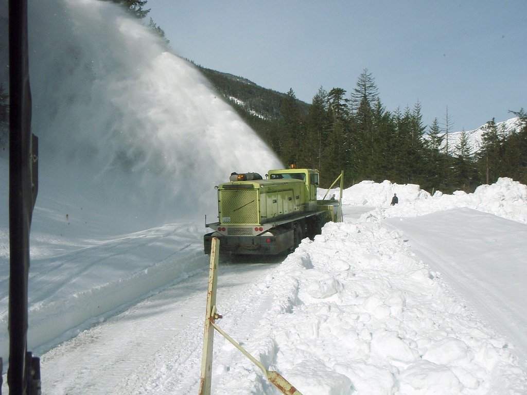
The best time to visit is Spring, Summer, Fall, and Winter. Check with Okanogan National Forest for seasonal road closures.
Safety Information
The trail may be slippery after rain, so exercise caution. Stay on marked trails to avoid damaging the environment or getting lost.
Current Water Conditions
786 ft³/s
Current discharge — how much water is flowing
Lower than usual for this time of year
Based on 34 years of record
15.20 ft
Water depth at gauge
7-Day Discharge Trend
What does this mean for your visit?
Flow is lower than usual for this time of year.
About This Gauge
7-Day Flow Outlook
Based on the USGS gauge METHOW RIVER ABOVE GOAT CREEK NEAR MAZAMA, WA (7 km away).
Today
Barely Flowing
786 cfs
4/10Tomorrow
Low
862 cfs
3/10Sat
Low
842 cfs
4/10Sun
Barely Flowing
705 cfs
5/10Mon
Barely Flowing
653 cfs
5/10Tue
Low
674 cfs
4/10Wed
Low
638 cfs
4/10Best window: Sun — barely flowing flow, partly sunny (trip score 5/10).
Best time of year: this gauge typically runs highest from mid April to mid July, peaking in June.
How we calculate this
This is a transparent outlook, not a precise forecast. We take the waterfall's current flow strength (how it ranks against its historical normal for today, from the nearest USGS stream gauge), carry that ranking forward along the gauge's seasonal curve, and nudge it for forecast rain. Confidence is highest for the next day or two and falls further out. Always check official conditions and your own judgment before visiting — high flows can be dangerous.
Know when to go.
Get a free email alert when waterfalls near Winthrop hit peak flow. We only send when conditions are worth the trip — no weekly newsletters, no spam.
Weather Forecast
Location & Access
Getting There
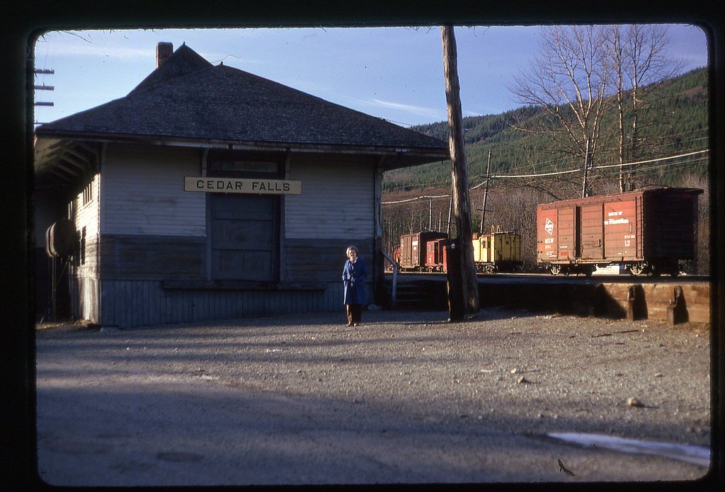
Cedar Falls is accessible via the Rattlesnake Lake Recreation Area, located off I-90 near North Bend, Washington. Follow signs to the Rattlesnake Lake parking area, which serves as the starting point for trails leading to the falls.
Get Directions on Google MapsParking
Parking is available at the Rattlesnake Lake Recreation Area. The lot can fill up quickly during weekends and peak seasons, so arriving early is recommended.
Elevation
3,510 feet above sea level
Coordinates
48.558515° N, -120.480404° W
Land Management
Managed by USFS
Visitor Tips & Gear
Arrive early to secure parking, especially on weekends. Wear sturdy shoes, as the trail may be muddy after rain. Bring water and snacks, and consider visiting nearby Rattlesnake Ledge for additional hiking opportunities.
As an Amazon Associate, we earn from qualifying purchases.
With 2.4 miles and 350 ft of elevation gain, sturdy boots and trekking poles will help on this moderate trail. Icy conditions are common in winter — traction cleats are a smart addition.

Columbia Watertight II Rain Jacket
Packs into its own pocket, seam-sealed, and keeps you dry from spray and surprise rain.

Polarized Sunglasses (Knockaround)
Cuts glare off the water so you actually see the falls — and your photos turn out better too.

Earth Pak Waterproof Dry Bag
Keeps your phone and gear dry when waterfall mist soaks everything else.

Waterproof Phone Pouch (AiRunTech)
Cheap insurance — take photos right next to the falls without killing your phone.

Timberland Euro Sprint Mid Waterproof
Trusted waterproof boot with premium leather and grippy rubber sole — reliable on rocky, wet trails.

TrailBuddy Trekking Poles
Lightweight aluminum, cork grips, and flip-locks that actually hold — a best-seller for good reason.
Where to Stay

AbbyCreek Inn

Chewuch Inn & Cabins

River's Edge Resort

Mt Gardner Inn
Browse vacation cabins and private rentals nearby
Unique outdoor stays — tents, yurts, and treehouses
Rent a campervan or RV for your waterfall road trip
Some links are affiliate links. We may earn a commission at no extra cost to you.
Nearby Campground
Methow Valley Ranger District
14.4 miles away · 0 sites
With its big valleys, open wildspaces, high ridges and beautiful rivers, the Methow Valley Ranger District's 1.3 million acres extends from near the town of Twisp Washington to the crest of the Cascade Mountains in the Pasayten Wilderness. Alpine lakes are a hideaway for anglers while diverse wilderness awaits explorers of all types. There are bassalt formations for rock climbers and winter sports opportunities abound. The highest peak is Jack Mountain at 9,066 feet, with many other peaks above
Book on Recreation.govNearby Hot Springs
Hot springs near Winthrop, Washington
Sulphur Creek Hot Springs
Sulphur Creek Hot Springs flows at 99 degrees Fahrenheit at 2,973 feet elevation in Mount Baker National Forest's remote backco...
Gamma Hot Springs
Gamma Hot Springs produces 140-degree water at 5,397 feet elevation in the Mt. Baker National Forest, emerging 104.6 degrees ab...
Kennedy Hot Spring
Kennedy Hot Spring flows at 100 degrees at 3,520 feet elevation in the Mt. Baker National Forest, emerging 58.7 degrees above a...
Poison Lake
Poison Lake reaches 122 degrees Fahrenheit in north-central Washington's Okanogan County, creating a thermal difference of 70.7...
Hot Lake
Hot Lake reaches 122 degrees at 1,902 feet elevation on Bureau of Land Management property in Okanogan County, producing water ...
Garland Mineral Springs
Garland Mineral Springs flows at 84 degrees in the Snoqualmie National Forest, producing water 39.6 degrees above ambient tempe...
Looking for a soak after your hike? Explore more hot springs near Winthrop, Washington on SoakingSprings.
Explore Washington springsAdditional Information
Nearby Attractions
Rattlesnake Ledge, Rattlesnake Lake, Snoqualmie Falls
Wildlife
Visitors may encounter birds, squirrels, and other small forest animals. Be cautious of potential encounters with larger wildlife such as deer or bears.
Cities near Cedar Falls
Other waterfalls named Cedar Falls
8 other waterfalls share this name across the U.S.
Writing about Cedar Falls? Embed this waterfall on your site for free.