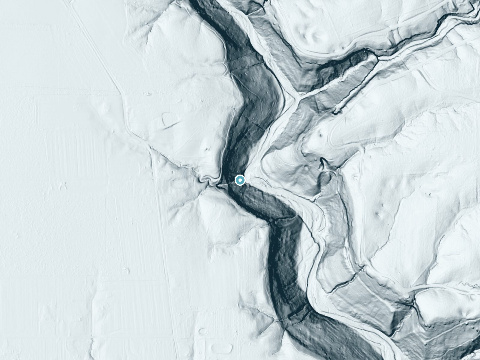
 LiDAR terrain view · USGS 3DEP
Wallace Falls
By Armen Suny · Last verified Sep 2026
LiDAR & 3D terrainDifficulty
Easy
Trail Length
1.0 miles
Trail Type
Out And Back
About Wallace Falls
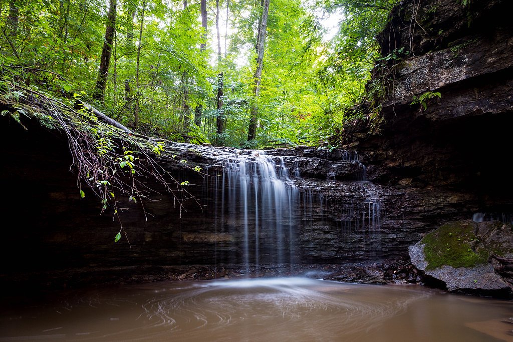
Wallace Falls sits within the Clifty Canyon Nature Preserve — a designated SCA managed by SPR — and offers a tranquil, tucked-away waterfall experience for hikers and nature lovers. Framed by the preserve’s canyon setting, the falls provide a peaceful retreat from busier parks and are well suited to visitors seeking a short, restorative outing in a more secluded landscape. Access to the falls is straightforward and rewarding: the hike is a moderate adventure rather than a long slog, making Wallace Falls a great option for a half-day trip. As the site is managed by SPR, please follow preserve guidelines and respect any posted signs to help keep the area natural and welcoming for others.
The Setting
Wallace Falls sits at 568 feet within Clifty Canyon Nature Preserve, fed by the Indian Kentuck Creek, in the foothills of Indiana.
Trail & Hike Details
Trail Description
Out-and-back trail, 2.4 miles total with approximately 350 feet of elevation gain; rated moderate. The route is managed by SPR within the Clifty Canyon Nature Preserve (SCA) and is best suited for hikers comfortable with steady uphill sections. Surface, grade, and formal trail-class details are not specified in the available managing-agency data.
What to Expect
Dogs are welcome.
Accessibility
The trail is not wheelchair accessible. Uneven terrain and elevation changes require steady footing.
Frequently Asked Questions
🐶 Are Dogs Allowed at Wallace Falls?
✅ Dogs are allowed
Are There Any Fees or Permits Required?
🤑 Fee: $7.00
🏊 Is There Swimming at Wallace Falls?
❌ Swimming is not allowed
When to Visit
Spring and early summer are the best times to visit, as the waterfall flow is typically stronger due to seasonal rainfall.
Seasonal Access
The best time to visit is Spring, Summer, and Fall. Winter access may be limited.
Safety Information
Exercise caution near the waterfall, as rocks can be slippery. Avoid visiting during heavy rain or storms as the trail may become hazardous.
Current Water Conditions
0 ft³/s
Current discharge — how much water is flowing
About average for this time of year
Based on 56 years of record
2.78 ft
Water depth at gauge
7-Day Discharge Trend
What does this mean for your visit?
Flow is about average for this time of year.
About This Gauge
This gauge is on a nearby waterway and may not reflect exact conditions at the falls.
7-Day Flow Outlook
Based on the USGS gauge INDIAN-KENTUCK CREEK NEAR CANAAN, IN (20 km away).
Today
Barely Flowing
0 cfs
5/10Tomorrow
Barely Flowing
0 cfs
5/10Sun
Barely Flowing
0 cfs
5/10Mon
Barely Flowing
0 cfs
5/10Tue
Barely Flowing
0 cfs
5/10Wed
Barely Flowing
0 cfs
5/10Thu
Barely Flowing
0 cfs
3/10Best window: Today — barely flowing flow, sunny (trip score 5/10).
Best time of year: this gauge typically runs highest from mid February to late April, peaking in April.
How we calculate this
This is a transparent outlook, not a precise forecast. We take the waterfall's current flow strength (how it ranks against its historical normal for today, from the nearest USGS stream gauge), carry that ranking forward along the gauge's seasonal curve, and nudge it for forecast rain. Confidence is highest for the next day or two and falls further out. Always check official conditions and your own judgment before visiting — high flows can be dangerous.
Know when to go.
Get a free email alert when waterfalls near Madison hit peak flow. We only send when conditions are worth the trip — no weekly newsletters, no spam.
Weather Forecast
The Terrain, Seen by LiDAR
Aircraft-mounted lasers measured this ground to within inches. Trees and buildings are digitally stripped away, leaving the bare shape of the land the water has carved.
Through the falls the surface drops roughly 249 feet over a short, steep run of tiers. Elevation at the pin is about 565 feet.
The whole reach is steep: about 217 feet of descent in the 500 feet above the falls and another 95 feet in the 500 feet below. The falls face east and catch soft morning light.
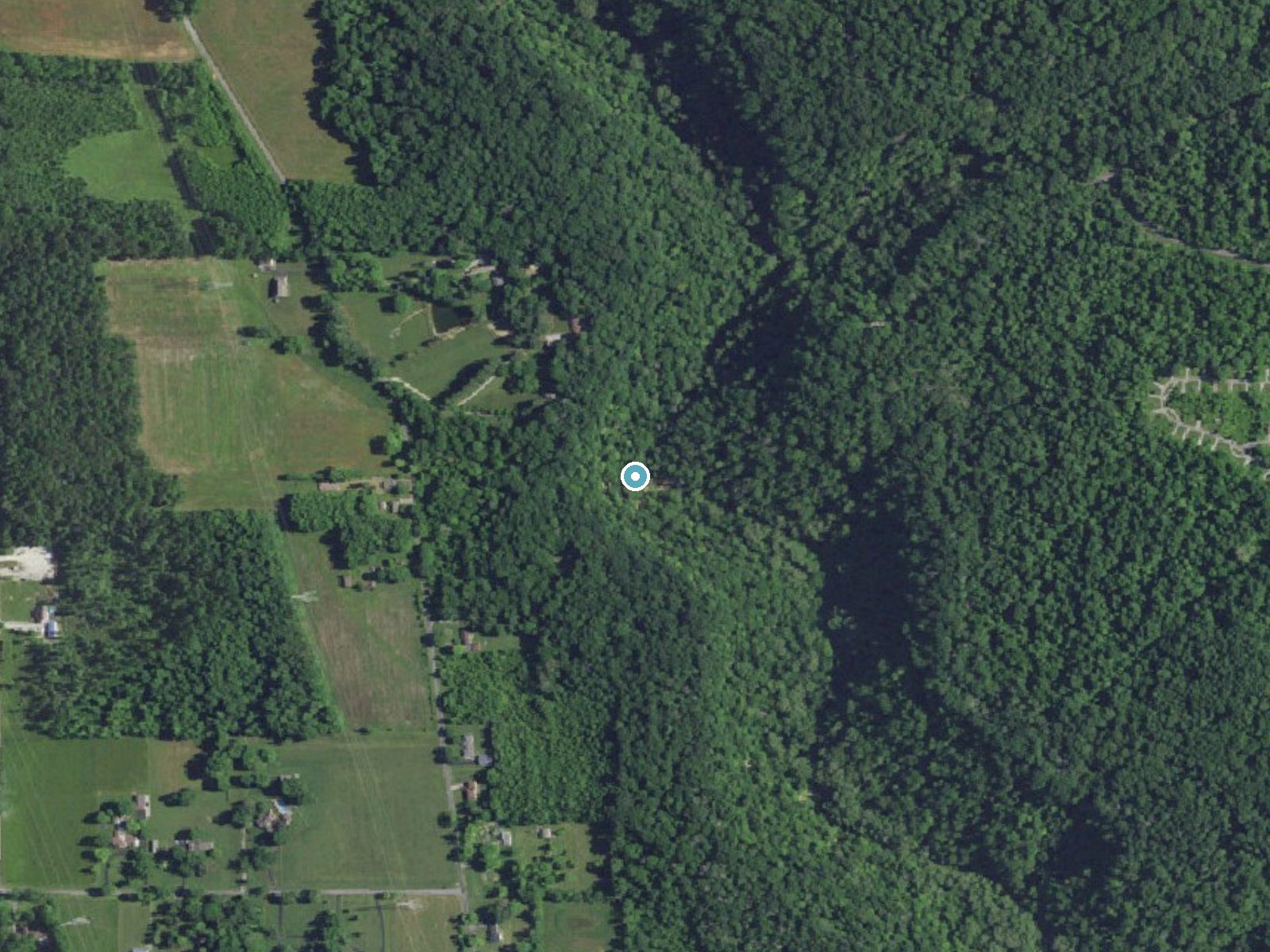
Drag to compare. The dot marks the waterfall. The frame is about a mile across.
- Ground elevation
- 565 feet
- Measured by 1-meter lidar
- Drop at the falls
- About 249 feet
- Change in ground height within ~250 feet of the falls
- Faces
- East
- Catches soft morning light.
A slice through the lidar ground surface, from above the falls to downstream (heading east).
Elevation data: USGS 3D Elevation Program. Aerial imagery: USGS The National Map. Public domain.
Location & Access
Getting There
Wallace Falls is located near the town of Wallace, Indiana, within the Turkey Run State Park area. Visitors can access the falls by following local roads and park signage.
Get Directions on Google MapsParking
Parking is available at Turkey Run State Park, which serves as a starting point for accessing the falls.
Elevation
568 feet above sea level
Coordinates
38.757559° N, -85.433570° W
Land Management
Managed by SPR
Visitor Tips & Gear
Wear sturdy shoes as the trail may be muddy after rain. Arrive early during weekends to secure parking and enjoy a quieter experience.
Where to Stay

Comfort Inn Madison near Clifty Falls

Clifty Inn

Holiday Inn Express Hotel & Suites Madison by IHG

The Chandler Hotel
Browse vacation cabins and private rentals nearby
Unique outdoor stays — tents, yurts, and treehouses
Rent a campervan or RV for your waterfall road trip
Some links are affiliate links. We may earn a commission at no extra cost to you.
Additional Information
Nearby Attractions
Turkey Run State Park offers additional hiking trails, canoeing opportunities, and scenic views.
Wildlife
The area is home to deer, birds, and other small woodland creatures. Keep an eye out for wildlife along the trail.
Cities near Wallace Falls
Nearby Waterfalls
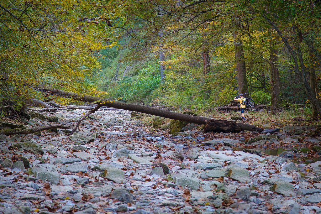
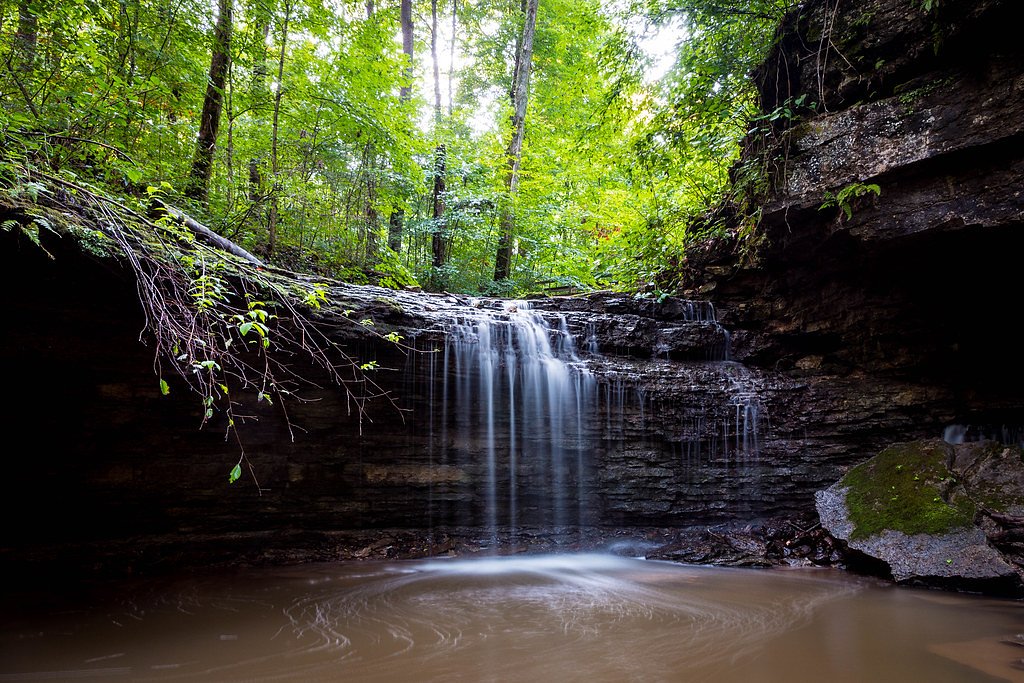
Other waterfalls named Wallace Falls
2 other waterfalls share this name across the U.S.
Writing about Wallace Falls? Embed this waterfall on your site for free.