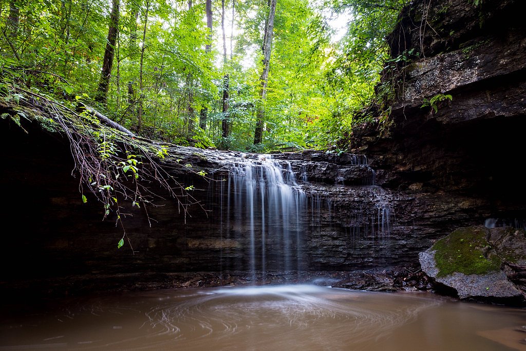
Little Clifty Falls
By Armen Suny · Last verified Sep 2026
LiDAR & 3D terrain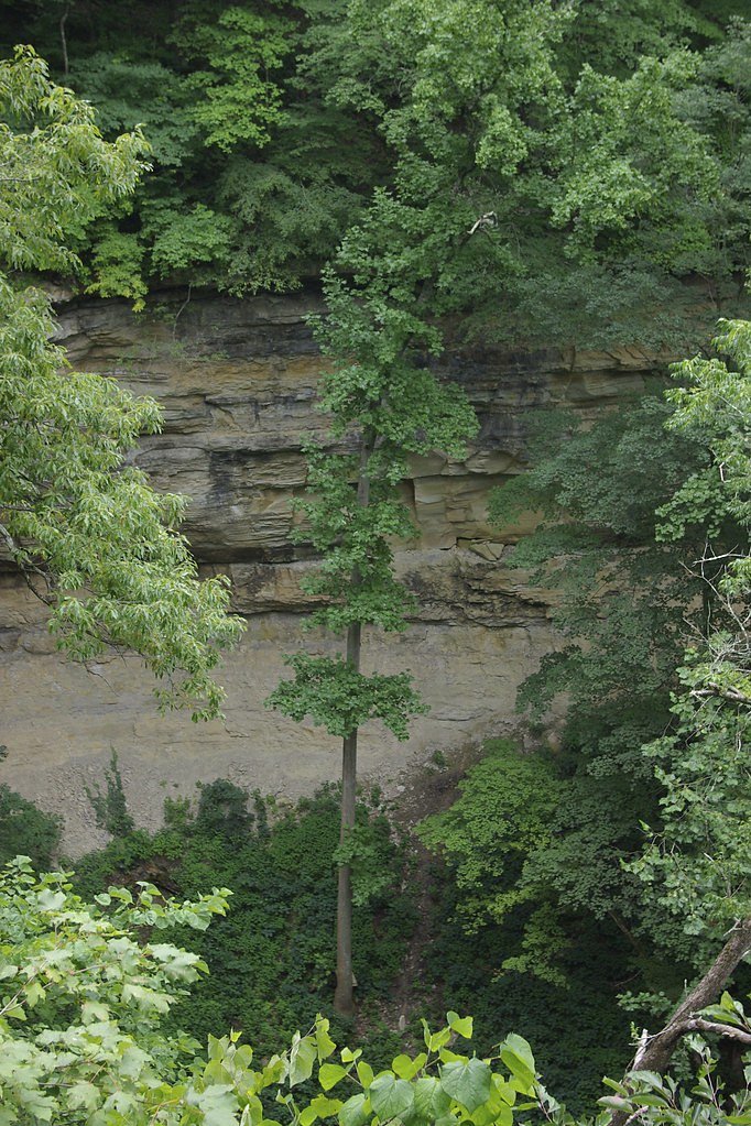
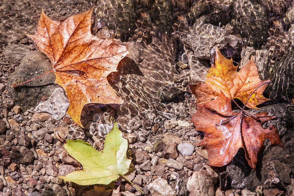
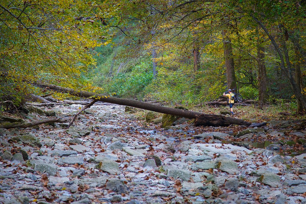
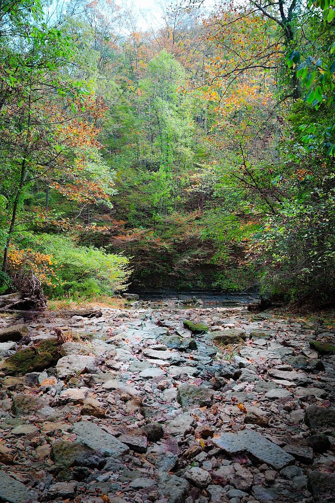

Photo Credits (5)
Difficulty
Moderate
Trail Length
2.5 miles
Trail Type
Out And Back
About Little Clifty Falls
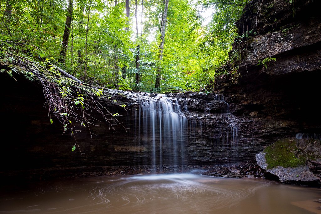
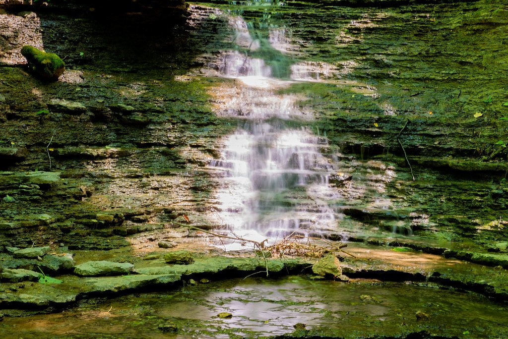
Little Clifty Falls is a tucked-away cascade within the Clifty Canyon Nature Preserve of Clifty Falls State Park, offering a classic Hoosier bluff-and-stream scene. The park itself spans 1,416 acres in Jefferson County and draws roughly 370,000 visitors a year; it sits about 46 miles (74 km) northeast of Louisville, Kentucky. The parcel that became the original core of the park was donated by citizens of Madison on October 27, 1920—570 acres given to the state at the suggestion of Richard Lieber—and Little Clifty is one of several waterfalls that reveal the park’s rugged, cliff-lined canyons. The preserve and falls are managed and owned by SPR and carry the designation SCA, so the setting feels protected and deliberately maintained. The falls are most dramatic during spring snowmelt and after heavy rains, when the drop fills out and the canyon comes alive. Hikers will find a moderately challenging out-and-back route into the canyon that rewards with close-up views of sheer rock faces and the stream that feeds the falls. Bring sturdy footwear for rocky, sometimes slippery ground, and plan for changing conditions in the sheltered gorge—the setting is intimate and photogenic, perfect for a half-day outing in the bigger Clifty Falls State Park experience.
The Setting
Little Clifty Falls sits at 741 feet within Clifty Canyon Nature Preserve, fed by the Indian Kentuck Creek, in the foothills of Indiana.
Trail & Hike Details
Trail Description
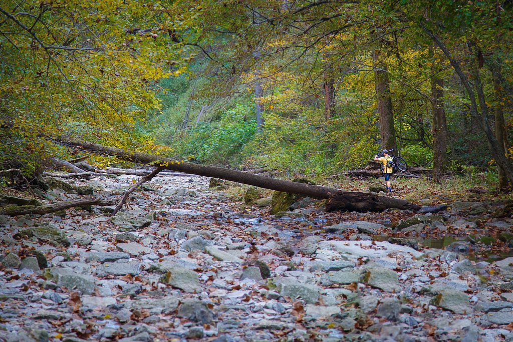
The trail to Little Clifty Falls is a 2.4-mile out-and-back with about 350 feet of elevation gain and is rated moderate. The route drops into a forested canyon with rocky tread, occasional steep sections, and short stair-like descents; surfaces are natural (dirt and rock) and can become muddy or slippery after rain. Expect uneven footing and streamside approaches that favor good hiking shoes; the trail’s moderate grade and length make it a solid half-day hike for most fit walkers.
What to Expect
Dogs are welcome.
Accessibility
The trail is not wheelchair accessible. Uneven terrain and elevation changes require steady footing.
Frequently Asked Questions
🐶 Are Dogs Allowed at Little Clifty Falls?
✅ Dogs are allowed
Are There Any Fees or Permits Required?
🤑 Fee: $7.00
🏊 Is There Swimming at Little Clifty Falls?
❌ Swimming is not allowed
When to Visit
Spring and early summer are the best times to visit Little Clifty Falls, as the waterfall is most active during these seasons. Fall offers beautiful foliage, while winter may provide unique frozen waterfall views.
Seasonal Access
The best time to visit is Spring, Summer, Fall, and Winter.
Safety Information
Exercise caution on the trail, especially near the waterfall, as rocks can be slippery. Stay on marked trails to avoid getting lost or encountering hazardous areas. Be aware of ticks and other insects in warmer months.
Current Water Conditions
0 ft³/s
Current discharge — how much water is flowing
About average for this time of year
Based on 56 years of record
2.78 ft
Water depth at gauge
7-Day Discharge Trend
What does this mean for your visit?
Flow is about average for this time of year.
About This Gauge
This gauge is on a nearby waterway and may not reflect exact conditions at the falls.
7-Day Flow Outlook
Based on the USGS gauge INDIAN-KENTUCK CREEK NEAR CANAAN, IN (20 km away).
Today
Barely Flowing
0 cfs
5/10Tomorrow
Barely Flowing
0 cfs
5/10Sun
Barely Flowing
0 cfs
5/10Mon
Barely Flowing
0 cfs
5/10Tue
Barely Flowing
0 cfs
5/10Wed
Barely Flowing
0 cfs
5/10Thu
Barely Flowing
0 cfs
3/10Best window: Today — barely flowing flow, sunny (trip score 5/10).
Best time of year: this gauge typically runs highest from mid February to late April, peaking in April.
How we calculate this
This is a transparent outlook, not a precise forecast. We take the waterfall's current flow strength (how it ranks against its historical normal for today, from the nearest USGS stream gauge), carry that ranking forward along the gauge's seasonal curve, and nudge it for forecast rain. Confidence is highest for the next day or two and falls further out. Always check official conditions and your own judgment before visiting — high flows can be dangerous.
Know when to go.
Get a free email alert when waterfalls near Madison hit peak flow. We only send when conditions are worth the trip — no weekly newsletters, no spam.
Weather Forecast
The Terrain, Seen by LiDAR
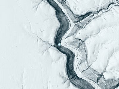
Aircraft-mounted lasers measured this ground to within inches. Trees and buildings are digitally stripped away, leaving the bare shape of the land the water has carved.
The laser survey finds one clean step here: roughly 166 feet of drop concentrated at the brink. Elevation at the pin is about 743 feet.
The ground changes about 49 feet in the 500 feet above the falls and 97 feet in the 500 feet below. The falls face southwest and sit in full sun for most of the day, best photographed early or late.
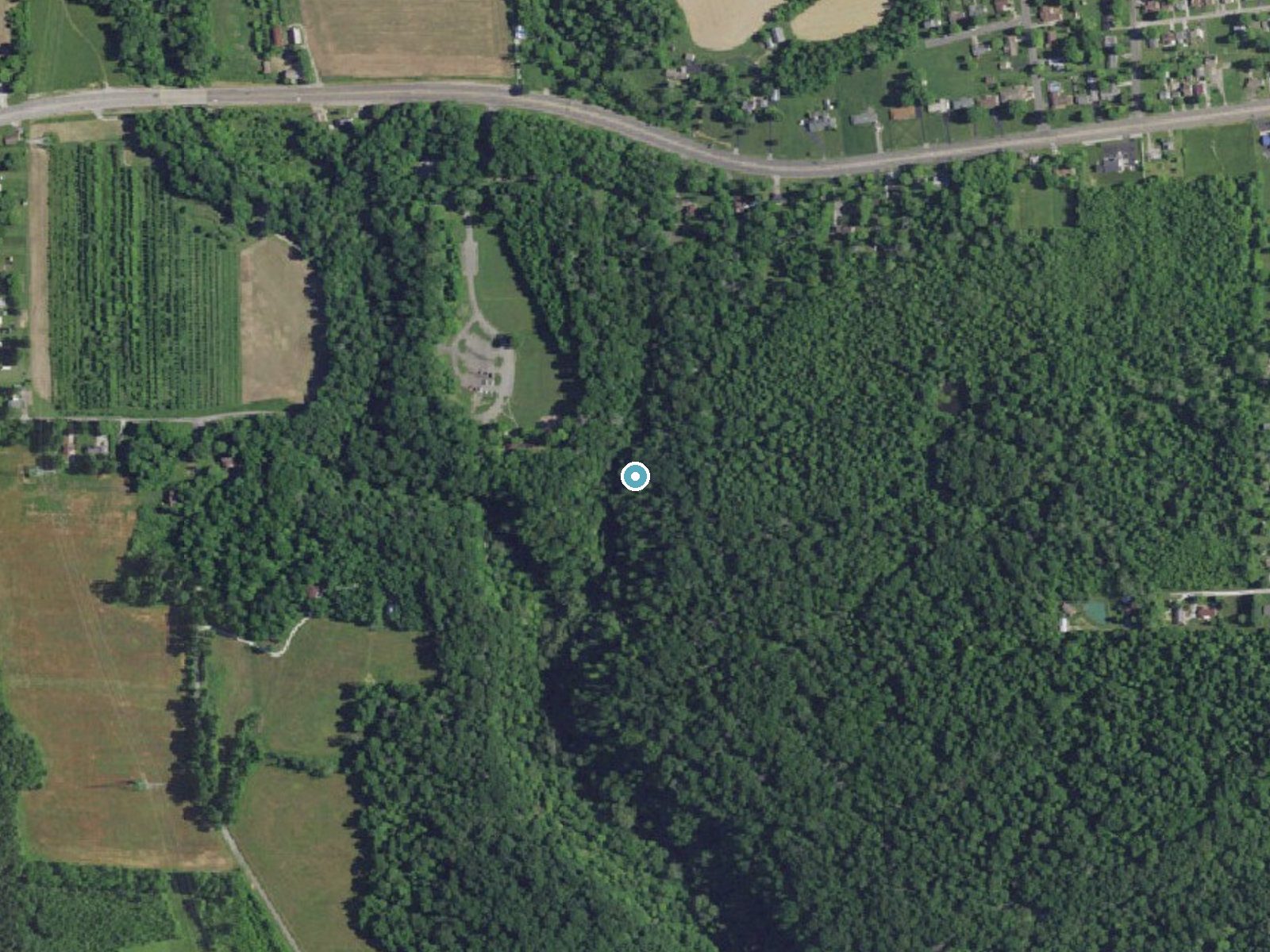
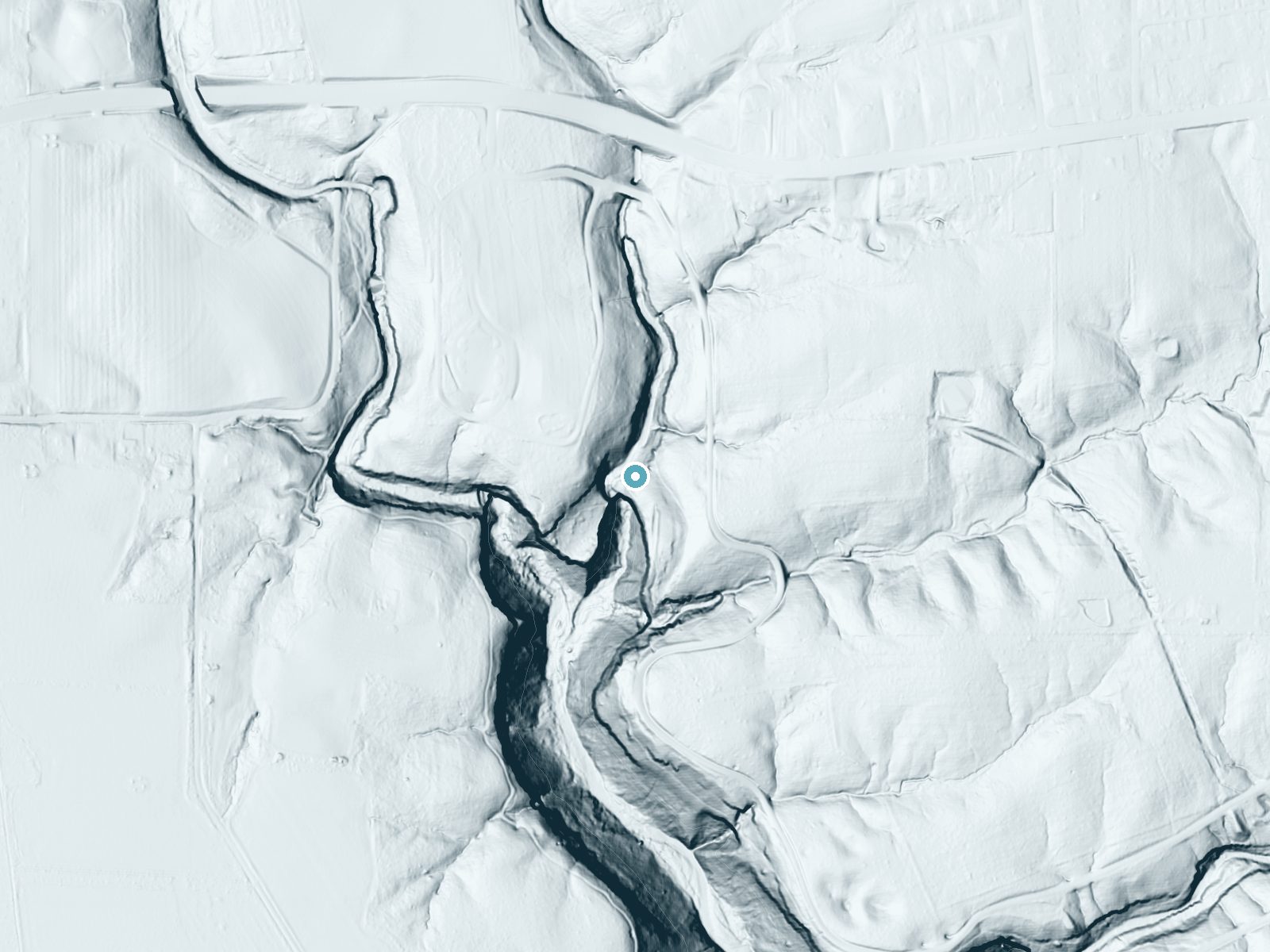
Drag to compare. The dot marks the waterfall. The frame is about a mile across.
- Ground elevation
- 743 feet
- Measured by 1-meter lidar
- Drop at the falls
- About 166 feet
- Change in ground height within ~250 feet of the falls
- Faces
- Southwest
- Sunlit most of the day. Go early or late for softer light.
A slice through the lidar ground surface, from above the falls to downstream (heading southwest).
Elevation data: USGS 3D Elevation Program. Aerial imagery: USGS The National Map. Public domain.
Location & Access
Getting There
Little Clifty Falls is located within Clifty Falls State Park, near Madison, Indiana. The park is accessible via State Road 62, and clear signage will guide visitors to the main entrance.
Get Directions on Google MapsParking
Parking is available at designated lots within Clifty Falls State Park. Visitors can park near trailheads that lead to Little Clifty Falls.
Elevation
741 feet above sea level
Coordinates
38.766726° N, -85.434126° W
Land Management
Managed by SPR
Visitor Tips & Gear
Wear sturdy hiking shoes, especially after rain, as the trail can be slippery. Bring water and snacks, and consider visiting in the morning to avoid crowds. Check the weather forecast before your trip, as the waterfall's flow is best after rain.
Where to Stay

Comfort Inn Madison near Clifty Falls

Clifty Inn

Holiday Inn Express Hotel & Suites Madison by IHG

The Chandler Hotel
Browse vacation cabins and private rentals nearby
Unique outdoor stays — tents, yurts, and treehouses
Rent a campervan or RV for your waterfall road trip
Some links are affiliate links. We may earn a commission at no extra cost to you.
Additional Information
Nearby Attractions
Other waterfalls in Clifty Falls State Park, including Big Clifty Falls, Tunnel Falls, and Hoffman Falls. The historic town of Madison, Indiana, is also nearby and offers shops, restaurants, and cultural attractions.
Wildlife
The park is home to a variety of wildlife, including deer, squirrels, birds, and occasionally reptiles. Visitors may also see wildflowers and native plants along the trail.
Cities near Little Clifty Falls
Nearby Waterfalls
 LiDAR
LiDAR
Writing about Little Clifty Falls? Embed this waterfall on your site for free.