Photo Credits (5)
Difficulty
Moderate
Trail Length
2.4 miles
Trail Type
Out And Back
Elevation Gain
350 ft
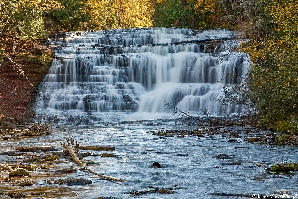
About Middle Falls
Middle Falls is a quietly beautiful cascade tucked into the private Huron Mountain Club lands in Michigan. Framed by mature northern hardwoods, the falls offer a peaceful, photo-worthy drop that’s best enjoyed with the hush of the surrounding forest. Because the site sits on privately managed property (Huron Mountain Club; designation: PCON), visitors should be mindful of access rules and stay on established routes to protect the landscape. The setting feels intimate compared with larger public waterfalls, making Middle Falls a rewarding destination for hikers who appreciate solitude and forested scenery. The approach follows a wooded corridor that opens to viewing spots near the water — an ideal quick escape for a morning walk or an afternoon outing for those who respect private land stewardship.
The Setting
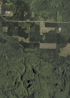
Middle Falls sits at 725 feet within Huron Mountain Club, fed by the East Branch Salmon Trout River, in the foothills of Michigan.
Nearby Falls Worth Visiting
Eighty Foot Falls (80 ft) lies 3.1 miles to the north.
Trail & Hike Details
The Approach
The moderate 2.4-mile out-and-back trail gains 350 feet of elevation on the way to the falls.
Trail Description
Trail type: out-and-back; distance: 2.4 miles; elevation gain: ~350 feet; difficulty: moderate. The approach is a well-maintained forest footpath that traverses mixed hardwoods and includes occasional sections of boardwalk and viewing platforms; footing can be muddy or slippery after rain. No USFS trail number is associated with this route—trail management is private under the Huron Mountain Club—so follow posted signage and stay on the marked trail. Surface and grade are typical of maintained natural hiking trails: moderate grades with native soil tread and some boardwalked or reinforced viewpoints.
What to Expect
Dogs are welcome.
Accessibility
The trail is not wheelchair accessible. Uneven terrain and elevation changes require steady footing.
Frequently Asked Questions
🐶 Are Dogs Allowed at Middle Falls?
✅ Dogs are allowed
Are There Any Fees or Permits Required?
🤑 Fee: $10.00
🏊 Is There Swimming at Middle Falls?
❌ Swimming is not allowed
When to Visit
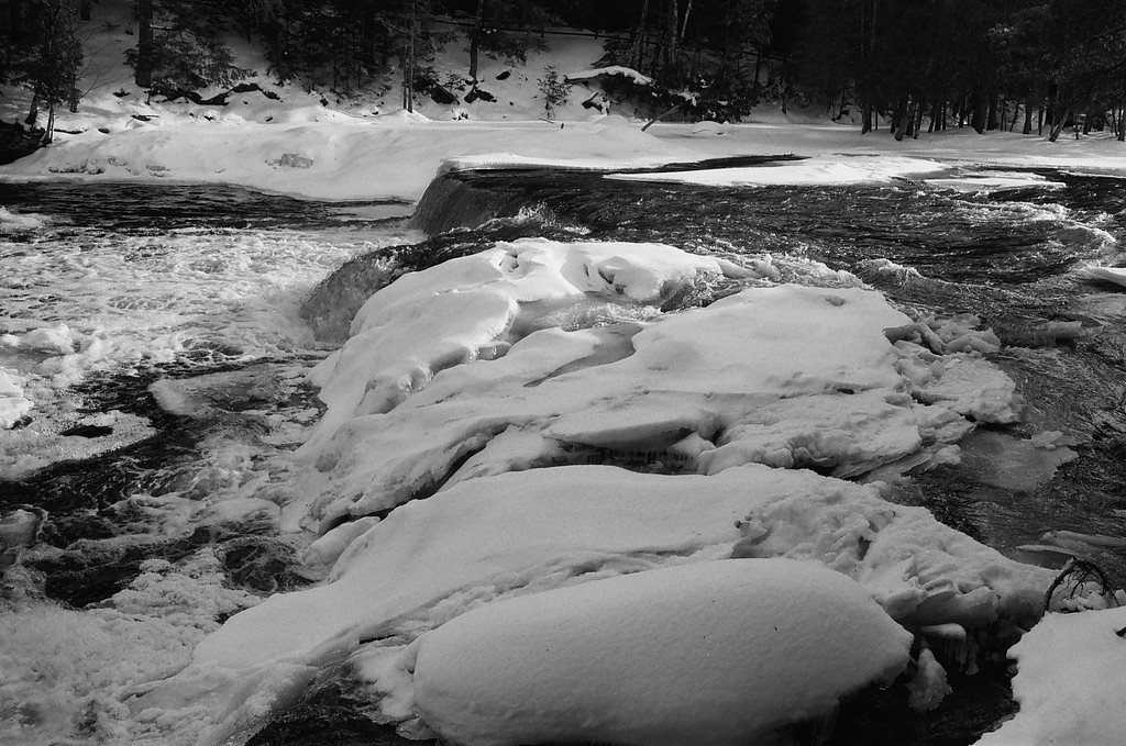
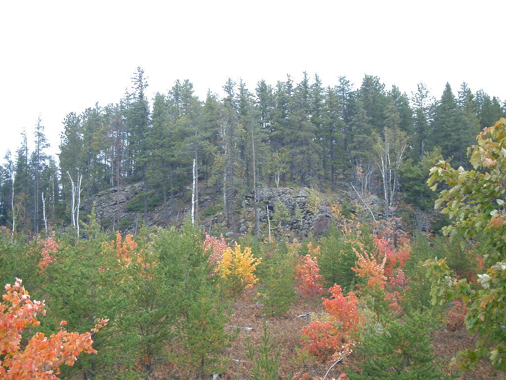
Spring and early summer are ideal for visiting, as the waterfall flow is strongest due to snowmelt. Fall offers stunning foliage, while winter provides a unique view of the frozen falls.
Seasonal Access
The best time to visit is Spring, Summer, and Fall. Winter access may be limited.
Safety Information
The trail may be slippery after rain or snow. Stay on marked paths and avoid getting too close to the edge of the falls. Be prepared for mosquitoes in summer.
Current Water Conditions
15 ft³/s
Current discharge — how much water is flowing
About average for this time of year
Based on 20 years of record
1.62 ft
Water depth at gauge
55°F
ColdBracing — limit time in water
7-Day Discharge Trend
What does this mean for your visit?
Flow is about average for this time of year. Water temperature is a bracing 55 degrees F, limit your time in the water. Mineral content is typical.
Water Quality
Conductance
Dissolved minerals in the water
About This Gauge
7-Day Flow Outlook
Based on the USGS gauge EAST BRANCH SALMON TROUT RIVER NEAR DODGE CITY, MI (3 km away).
Today
Low
15 cfs
6/10Tomorrow
Moderate
16 cfs
4/10Tue
Moderate
17 cfs
4/10Wed
Moderate
16 cfs
5/10Thu
Moderate
15 cfs
4/10Fri
Moderate
15 cfs
4/10Sat
Moderate
14 cfs
5/10Best window: Today — low flow, partly sunny (trip score 6/10).
Best time of year: this gauge typically runs highest from mid March to mid May, peaking in April.
How we calculate this
This is a transparent outlook, not a precise forecast. We take the waterfall's current flow strength (how it ranks against its historical normal for today, from the nearest USGS stream gauge), carry that ranking forward along the gauge's seasonal curve, and nudge it for forecast rain. Confidence is highest for the next day or two and falls further out. Always check official conditions and your own judgment before visiting — high flows can be dangerous.
Know when to go.
Get a free email alert when waterfalls near Big Bay hit peak flow. We only send when conditions are worth the trip — no weekly newsletters, no spam.
Weather Forecast
Location & Access
Getting There
Middle Falls is located within Tahquamenon Falls State Park in Michigan's Upper Peninsula. Visitors can access the park via M-123, which connects to nearby towns such as Paradise, MI.
Get Directions on Google MapsParking
Parking is available at designated lots within the state park. Visitors may need to walk a short distance to reach the falls.
Elevation
725 feet above sea level
Coordinates
46.811111° N, -87.825833° W
Land Management
Managed by PVT
Visitor Tips & Gear
Wear sturdy shoes, as the trail can be uneven or muddy. Bring insect repellent during the summer months to protect against mosquitoes. Check weather conditions before visiting, as the trail may be more challenging after rain.
As an Amazon Associate, we earn from qualifying purchases.
With 2.4 miles and 350 ft of elevation gain, sturdy boots and trekking poles will help on this moderate trail. Sun exposure on the trail makes good sun protection a must in summer.

Polarized Sunglasses (Knockaround)
Cuts glare off the water so you actually see the falls — and your photos turn out better too.

Columbia Watertight II Rain Jacket
Packs into its own pocket, seam-sealed, and keeps you dry from spray and surprise rain.

Earth Pak Waterproof Dry Bag
Keeps your phone and gear dry when waterfall mist soaks everything else.

Waterproof Phone Pouch (AiRunTech)
Cheap insurance — take photos right next to the falls without killing your phone.

Timberland Euro Sprint Mid Waterproof
Trusted waterproof boot with premium leather and grippy rubber sole — reliable on rocky, wet trails.

TrailBuddy Trekking Poles
Lightweight aluminum, cork grips, and flip-locks that actually hold — a best-seller for good reason.
Where to Stay

Lakefront Lookout! Private Sand Beach on Superior

Private Beach! Year-Round Lake Superior Retreat

Private Sandy Beach: Lake Superior Group Retreat

Sunroom, Deck and Grills Marquette Cottage!
Browse vacation cabins and private rentals nearby
Unique outdoor stays — tents, yurts, and treehouses
Rent a campervan or RV for your waterfall road trip
Some links are affiliate links. We may earn a commission at no extra cost to you.
Additional Information
Nearby Attractions
Upper Falls, Lower Falls, Tahquamenon River, Whitefish Point Lighthouse, Great Lakes Shipwreck Museum.
Wildlife
The area is home to deer, black bears, and a variety of bird species. Be cautious and respect wildlife.
Cities near Middle Falls
Nearby Waterfalls
Other waterfalls named Middle Falls
8 other waterfalls share this name across the U.S.
Writing about Middle Falls? Embed this waterfall on your site for free.