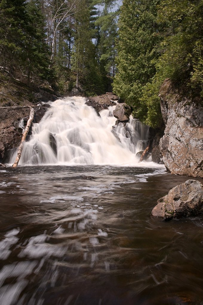
Wylie Falls
By Armen Suny · Last verified May 2026
Photo Credits (1)
Difficulty
Moderate
Trail Length
2.4 miles
Trail Type
Out And Back
Elevation Gain
350 ft
About Wylie Falls
Wylie Falls is a lesser-known waterfall located in Michigan's Upper Peninsula. It is part of the Wylie Creek and offers a serene and picturesque setting, surrounded by dense forest. The waterfall is relatively small but charming, making it a peaceful spot for nature enthusiasts.
The Setting
Wylie Falls sits at 1,407 feet along the Salmon Trout River, in the foothills of Michigan.
Trail & Hike Details
The Approach
The moderate 2.4-mile out-and-back trail gains 350 feet of elevation on the way to the falls.
Trail Description
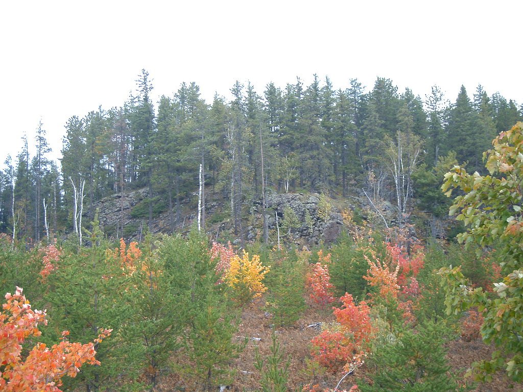
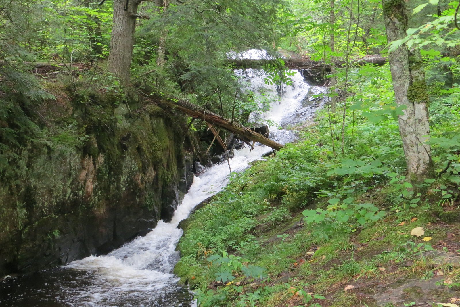
The trail to Wylie Falls is short and relatively flat, making it suitable for most visitors. It winds through a forested area and may include some uneven terrain. The trail is not heavily trafficked, offering a quiet and peaceful hike.
What to Expect
Dogs are welcome.
Accessibility
The trail is not wheelchair accessible. Uneven terrain and elevation changes require steady footing.
Frequently Asked Questions
🐶 Are Dogs Allowed at Wylie Falls?
✅ Dogs are allowed
Are There Any Fees or Permits Required?
🆖 No fees required
🏊 Is There Swimming at Wylie Falls?
❌ Swimming is not allowed
When to Visit
Spring and early summer are ideal times to visit, as the water flow is typically stronger due to snowmelt and rainfall.
Seasonal Access
The best time to visit is Spring, Summer, and Fall. Winter access may be limited.
Safety Information
Be cautious of slippery rocks near the waterfall. The trail may become muddy or slippery after rain. Always stay on marked trails to avoid getting lost.
Current Water Conditions
8 ft³/s
Current discharge — how much water is flowing
Much higher than usual for this time of year
Based on 21 years of record
0.40 ft
Water depth at gauge
55°F
ColdBracing — limit time in water
7-Day Discharge Trend
What does this mean for your visit?
The water is flowing much higher than usual, expect an impressive display. Water temperature is a bracing 55 degrees F, limit your time in the water.
About This Gauge
7-Day Flow Outlook
Based on the USGS gauge SALMON TROUT RIVER NEAR BIG BAY, MI (7 km away).
Today
Moderate
8 cfs
9/10Tomorrow
Moderate
8 cfs
9/10Sun
Strong
9 cfs
8/10Mon
Roaring
10 cfs
6/10Tue
Roaring
10 cfs
6/10Wed
Roaring
10 cfs
6/10Thu
Roaring
9 cfs
6/10Best window: Today — moderate flow, mostly sunny (trip score 9/10).
Best time of year: this gauge typically runs highest from mid March to late May, peaking in April.
How we calculate this
This is a transparent outlook, not a precise forecast. We take the waterfall's current flow strength (how it ranks against its historical normal for today, from the nearest USGS stream gauge), carry that ranking forward along the gauge's seasonal curve, and nudge it for forecast rain. Confidence is highest for the next day or two and falls further out. Always check official conditions and your own judgment before visiting — high flows can be dangerous.
Know when to go.
Get a free email alert when waterfalls near Big Bay hit peak flow. We only send when conditions are worth the trip — no weekly newsletters, no spam.
Weather Forecast
Location & Access
Getting There
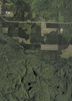
Wylie Falls is located near the town of Munising in Michigan's Upper Peninsula. Access may require navigating unpaved roads, so a vehicle with good clearance is recommended. Directions can vary, so consulting a detailed map or GPS is advised.
Get Directions on Google MapsParking
Parking is available near the trailhead, but it may be limited and unpaved.
Elevation
1,407 feet above sea level
Coordinates
46.718889° N, -87.855000° W
Visitor Tips & Gear
Wear sturdy shoes as the trail may be uneven in places. Bring insect repellent, especially in the summer months, as mosquitoes can be prevalent. Check weather conditions before visiting, as the trail may become muddy after rain.
As an Amazon Associate, we earn from qualifying purchases.
With 2.4 miles and 350 ft of elevation gain, sturdy boots and trekking poles will help on this moderate trail. Sun exposure on the trail makes good sun protection a must in summer.

Polarized Sunglasses (Knockaround)
Cuts glare off the water so you actually see the falls — and your photos turn out better too.

Columbia Watertight II Rain Jacket
Packs into its own pocket, seam-sealed, and keeps you dry from spray and surprise rain.

Earth Pak Waterproof Dry Bag
Keeps your phone and gear dry when waterfall mist soaks everything else.

Waterproof Phone Pouch (AiRunTech)
Cheap insurance — take photos right next to the falls without killing your phone.

Timberland Euro Sprint Mid Waterproof
Trusted waterproof boot with premium leather and grippy rubber sole — reliable on rocky, wet trails.

TrailBuddy Trekking Poles
Lightweight aluminum, cork grips, and flip-locks that actually hold — a best-seller for good reason.
Where to Stay

Travelodge by Wyndham Ishpeming/Marquette

Jasper Ridge Inn Ishpeming

Champion Vacation Rental with Fire Pit!

Lakefront Lookout! Private Sand Beach on Superior
Browse vacation cabins and private rentals nearby
Unique outdoor stays — tents, yurts, and treehouses
Rent a campervan or RV for your waterfall road trip
Some links are affiliate links. We may earn a commission at no extra cost to you.
Additional Information
Nearby Attractions
Nearby attractions include Munising Falls, Pictured Rocks National Lakeshore, and other waterfalls in the area such as Wagner Falls and Alger Falls.
Wildlife
The area is home to a variety of wildlife, including birds, deer, and small mammals. Be cautious of ticks and other insects.
Cities near Wylie Falls
Nearby Waterfalls
Other waterfalls named Wylie Falls
1 other waterfall shares this name across the U.S.
Writing about Wylie Falls? Embed this waterfall on your site for free.