Difficulty
Easy
Trail Length
1.2 miles
Trail Type
Out And Back
Elevation Gain
150 ft
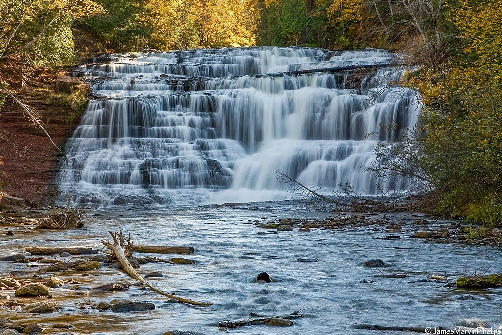
About Hogback Falls
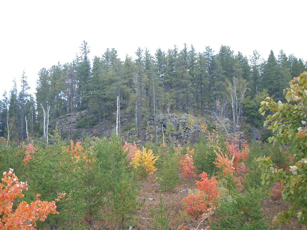
Hogback Falls is a small but scenic waterfall located in Michigan's Upper Peninsula. It is part of the Dead River system and is known for its peaceful surroundings and natural beauty. The falls are not as well-known as other waterfalls in the area, making it a quieter destination for visitors.
The Setting
Hogback Falls sits at 886 feet along the East Branch Salmon Trout River, in the foothills of Michigan.
Nearby Falls Worth Visiting
Eighty Foot Falls (80 ft) lies 3.2 miles to the north.
Trail & Hike Details
The Approach
The easy 1.2-mile out-and-back trail gains 150 feet of elevation on the way to the falls.
Trail Description
The trail to Hogback Falls is relatively short and easy, making it suitable for most visitors. It passes through wooded areas and follows the Dead River, offering a serene and natural hiking experience. The trail may be uneven in some spots, so sturdy footwear is recommended.
What to Expect
Dogs are welcome.
Accessibility
The trail is not wheelchair accessible. Uneven terrain and elevation changes require steady footing.
Frequently Asked Questions
🐶 Are Dogs Allowed at Hogback Falls?
✅ Dogs are allowed
Are There Any Fees or Permits Required?
🆖 No fees required
🏊 Is There Swimming at Hogback Falls?
❌ Swimming is not allowed
When to Visit
Spring and early summer are the best times to visit, as the water flow is typically stronger due to snowmelt and rainfall.
Seasonal Access
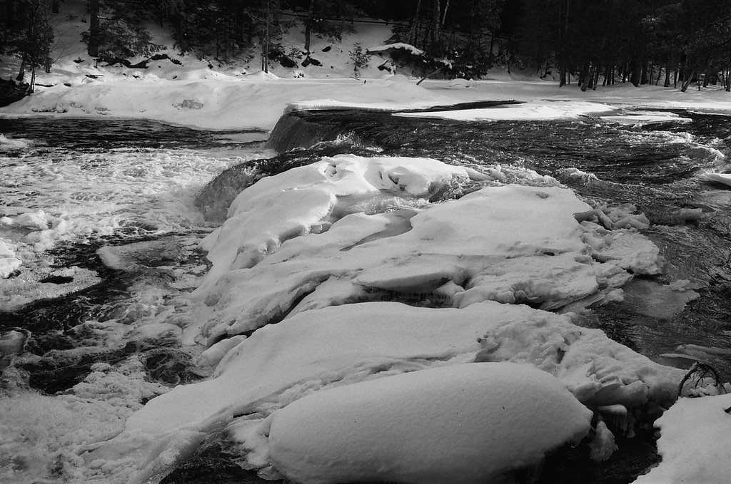
The best time to visit is Spring, Summer, and Fall. Winter access may be limited.
Safety Information
Exercise caution near the falls, as rocks can be slippery. Be aware of changing weather conditions, especially in winter when trails may be icy.
Current Water Conditions
16 ft³/s
Current discharge — how much water is flowing
About average for this time of year
Based on 20 years of record
1.65 ft
Water depth at gauge
58°F
ColdBracing — limit time in water
7-Day Discharge Trend
What does this mean for your visit?
Flow is about average for this time of year. Water temperature is a bracing 58 degrees F, limit your time in the water. Mineral content is typical.
Water Quality
Conductance
Dissolved minerals in the water
About This Gauge
7-Day Flow Outlook
Based on the USGS gauge EAST BRANCH SALMON TROUT RIVER NEAR DODGE CITY, MI (3 km away).
Today
Moderate
16 cfs
9/10Tomorrow
Moderate
15 cfs
9/10Sun
Strong
19 cfs
8/10Mon
Roaring
19 cfs
6/10Tue
Roaring
20 cfs
6/10Wed
Roaring
20 cfs
6/10Thu
Roaring
18 cfs
6/10Best window: Today — moderate flow, mostly sunny (trip score 9/10).
Best time of year: this gauge typically runs highest from mid March to mid May, peaking in April.
How we calculate this
This is a transparent outlook, not a precise forecast. We take the waterfall's current flow strength (how it ranks against its historical normal for today, from the nearest USGS stream gauge), carry that ranking forward along the gauge's seasonal curve, and nudge it for forecast rain. Confidence is highest for the next day or two and falls further out. Always check official conditions and your own judgment before visiting — high flows can be dangerous.
Know when to go.
Get a free email alert when waterfalls near Big Bay hit peak flow. We only send when conditions are worth the trip — no weekly newsletters, no spam.
Weather Forecast
Location & Access
Getting There
Hogback Falls is located near Marquette, Michigan, in the Upper Peninsula. Access typically involves driving on local roads and possibly some unpaved sections. The falls are situated near the Dead River and may require a short hike to reach.
Get Directions on Google MapsParking
Parking availability is limited and may involve roadside parking or small pull-off areas. Visitors should plan accordingly.
Elevation
886 feet above sea level
Coordinates
46.808258° N, -87.847907° W
Visitor Tips & Gear
Visit during spring or after heavy rains for the best water flow. Bring insect repellent during summer months, as mosquitoes can be prevalent. Be cautious of slippery rocks near the falls.
As an Amazon Associate, we earn from qualifying purchases.
This easy 1.2 miles hike is straightforward — comfortable trail shoes and plenty of water should do. Sun exposure on the trail makes good sun protection a must in summer.

Columbia Watertight II Rain Jacket
Packs into its own pocket, seam-sealed, and keeps you dry from spray and surprise rain.

Earth Pak Waterproof Dry Bag
Keeps your phone and gear dry when waterfall mist soaks everything else.

Waterproof Phone Pouch (AiRunTech)
Cheap insurance — take photos right next to the falls without killing your phone.

Polarized Sunglasses (Knockaround)
Cuts glare off the water so you actually see the falls — and your photos turn out better too.

Osprey Daylite Daypack
Light, organized, and just the right size for a day hike — fits water, snacks, and layers.

OR Sombriolet Sun Hat
UPF 50+ sun protection with vents so your head doesn't cook on exposed trail sections.
Where to Stay

Lakefront Lookout! Private Sand Beach on Superior

Private Beach! Year-Round Lake Superior Retreat

Private Sandy Beach: Lake Superior Group Retreat

Sunroom, Deck and Grills Marquette Cottage!
Browse vacation cabins and private rentals nearby
Unique outdoor stays — tents, yurts, and treehouses
Rent a campervan or RV for your waterfall road trip
Some links are affiliate links. We may earn a commission at no extra cost to you.
Additional Information
Nearby Attractions
Nearby attractions include Sugarloaf Mountain, Presque Isle Park, and other waterfalls in the Marquette area such as Dead River Falls.
Wildlife
The area is home to a variety of wildlife, including birds, deer, and small mammals. Visitors should be cautious of ticks and other insects.
Cities near Hogback Falls
Nearby Waterfalls
Writing about Hogback Falls? Embed this waterfall on your site for free.