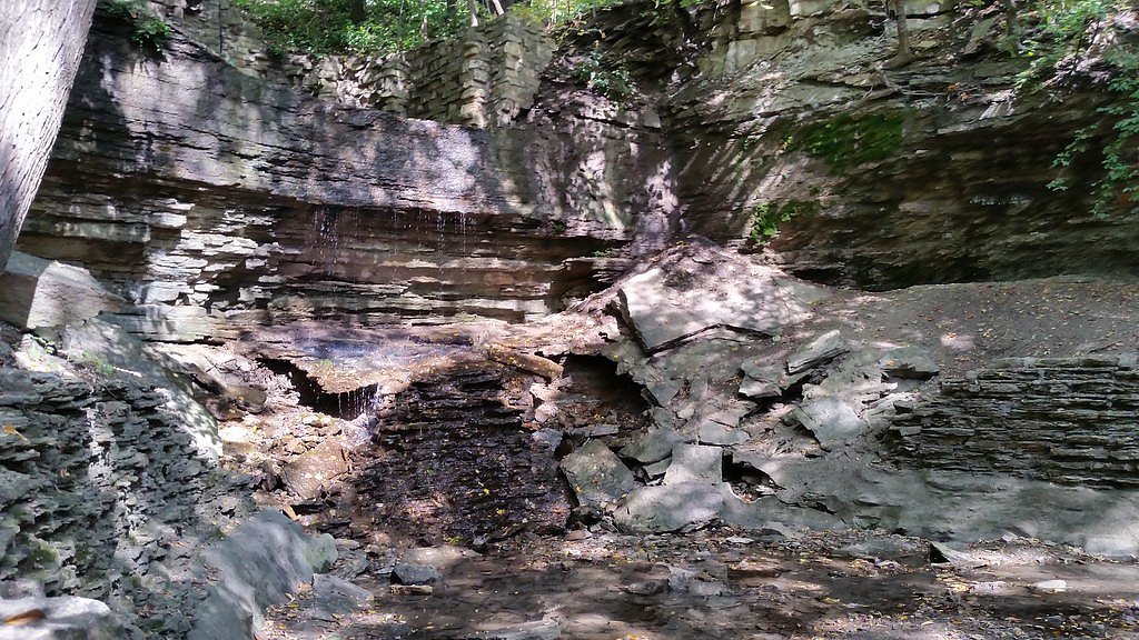

Photo Credits (5)
Difficulty
Easy
Trail Length
0.5 miles
Trail Type
Out And Back
About Hidden Falls
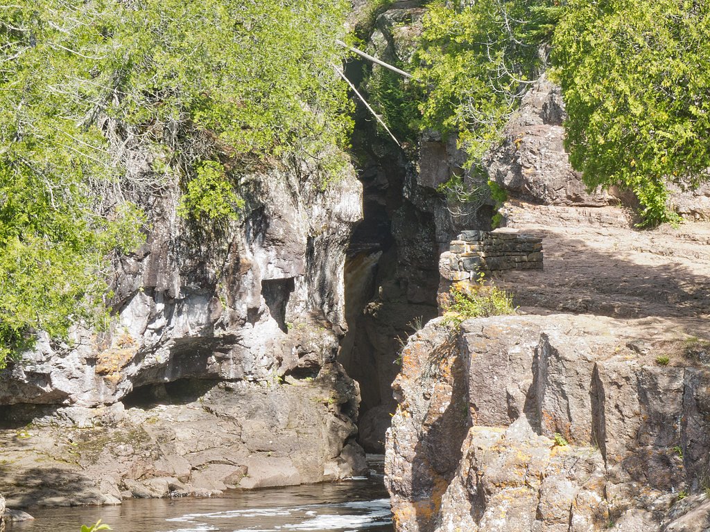
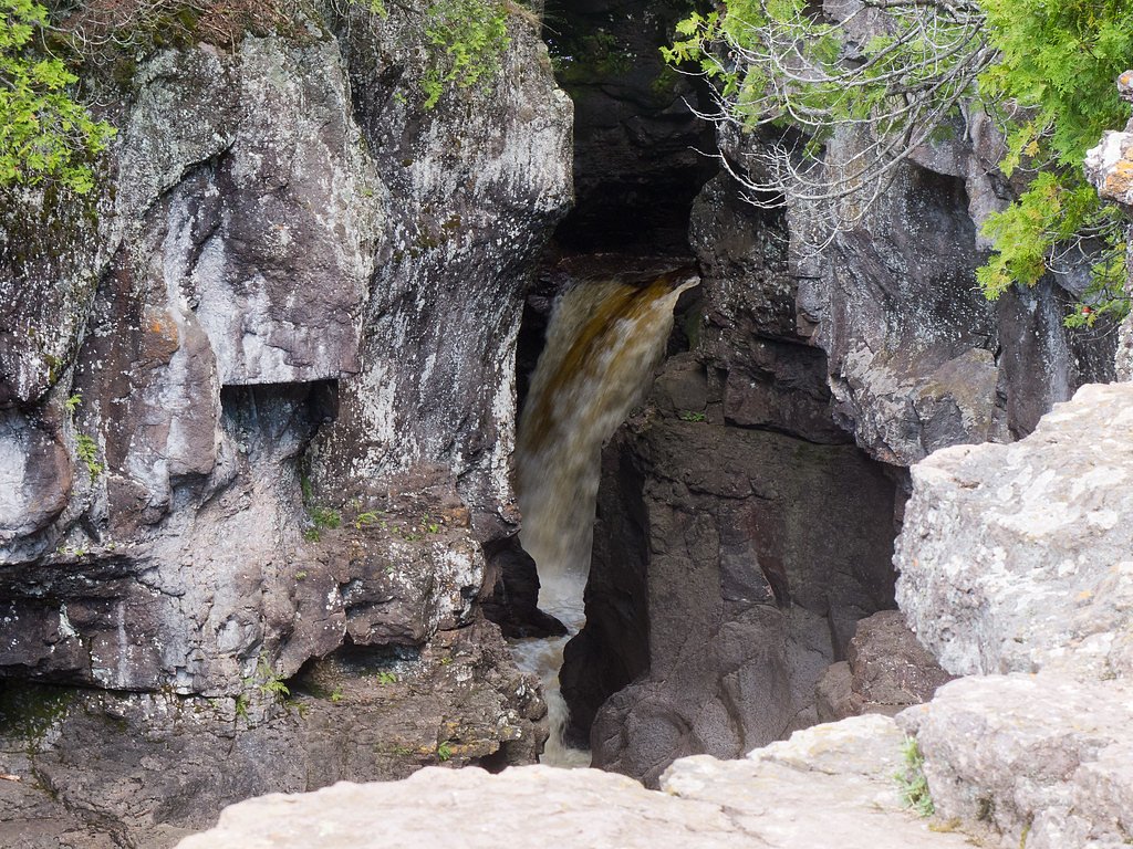
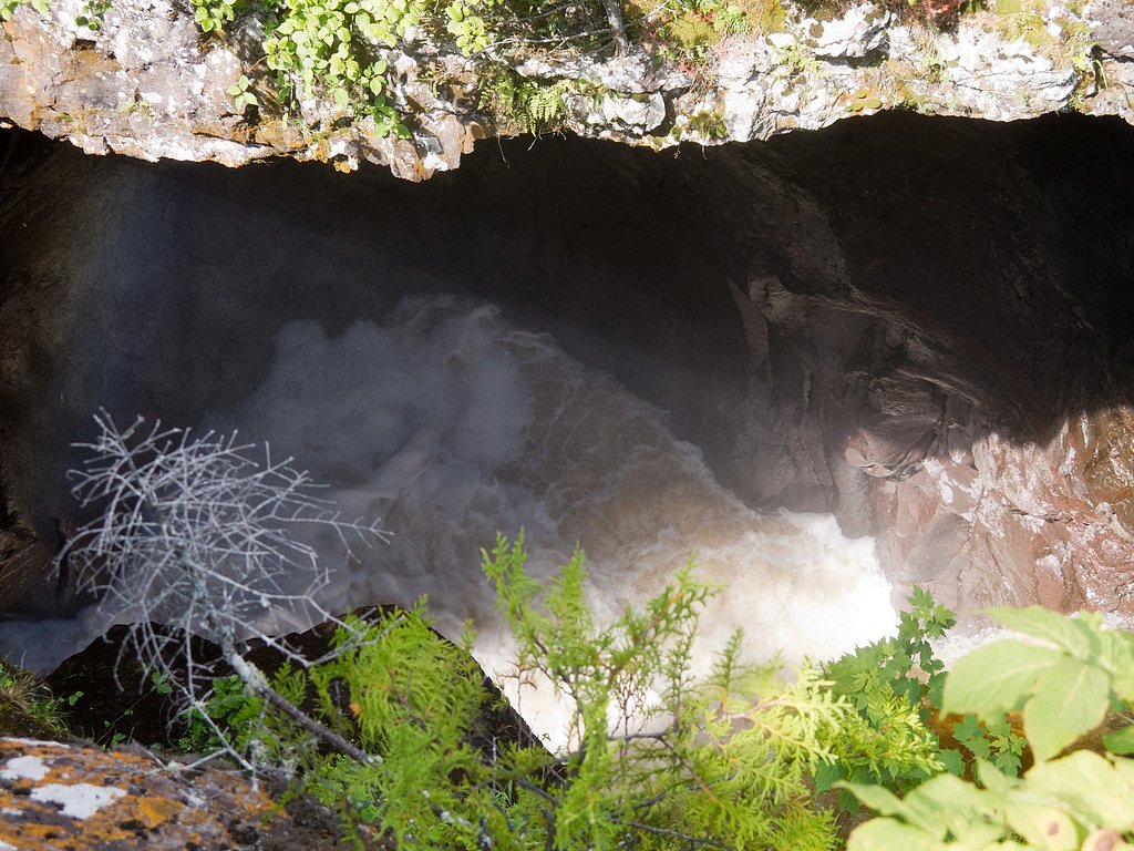
Hidden Falls is a shady, forested cascade located within Temperance River State Park (SP) in Minnesota. The site is managed by SPR and the land is owned by SDNR, so the waterfall and its access are maintained as part of the state park system. The falls offer a peaceful break from the trail—an inviting spot to pause, listen to rushing water, and take in northern Minnesota’s spruce-and-birch surroundings. The most common approach to Hidden Falls is a moderately challenging out-and-back that climbs through mixed woods, providing periodic views of the river corridor. Hikers who make the roughly 2.4-mile round trip with about 350 feet of elevation gain are rewarded with a pleasant waterfall setting that’s well worth the effort for those looking for a compact, scenic hike in Temperance River State Park.
The Setting
Hidden Falls sits at 715 feet within Temperance River State Park, in the foothills of Minnesota.
Trail & Hike Details
Trail Description
Out-and-back trail, 2.4 miles total with approximately 350 feet of elevation gain; rated moderate. Managed as part of Temperance River State Park by SPR. Specific USFS trail surface, grade, and trail class are not specified in the provided data; the route is described in the park’s trail system and typically follows defined hiking tread through mixed forest with moderate climbs and short, steeper sections.
What to Expect
Dogs are welcome.
Accessibility
The trail is short and relatively flat, but the surface may be uneven. Contact the managing agency for accessibility details.
Frequently Asked Questions
🐶 Are Dogs Allowed at Hidden Falls?
✅ Dogs are allowed
Are There Any Fees or Permits Required?
🆖 No fees required
🏊 Is There Swimming at Hidden Falls?
❌ Swimming is not allowed
When to Visit
Spring and early summer are the best times to visit, as the waterfall is most active during these seasons. Fall offers beautiful foliage, while summer provides warm weather for a relaxing visit.
Seasonal Access
The best time to visit is Spring, Summer, and Fall. Winter access may be limited.
Safety Information
The trail may be slippery or muddy after rain, so exercise caution. Stay on designated paths to avoid damaging the environment or getting lost.
Know when to go.
Get a free email alert when waterfalls near Lutsen hit peak flow. We only send when conditions are worth the trip — no weekly newsletters, no spam.
Weather Forecast
The Terrain, Seen by LiDAR
Aircraft-mounted lasers measured this ground to within inches. Trees and buildings are digitally stripped away, leaving the bare shape of the land the water has carved.
1-meter lidar measures about 98 feet of descent through Hidden Falls, a steep tiered drop rather than a single free fall. The brink sits at about 716 feet above sea level.
The ground changes about 49 feet in the 500 feet above the falls and 71 feet in the 500 feet below. Facing southeast, the falls sit in full sun for most of the day, best photographed early or late.
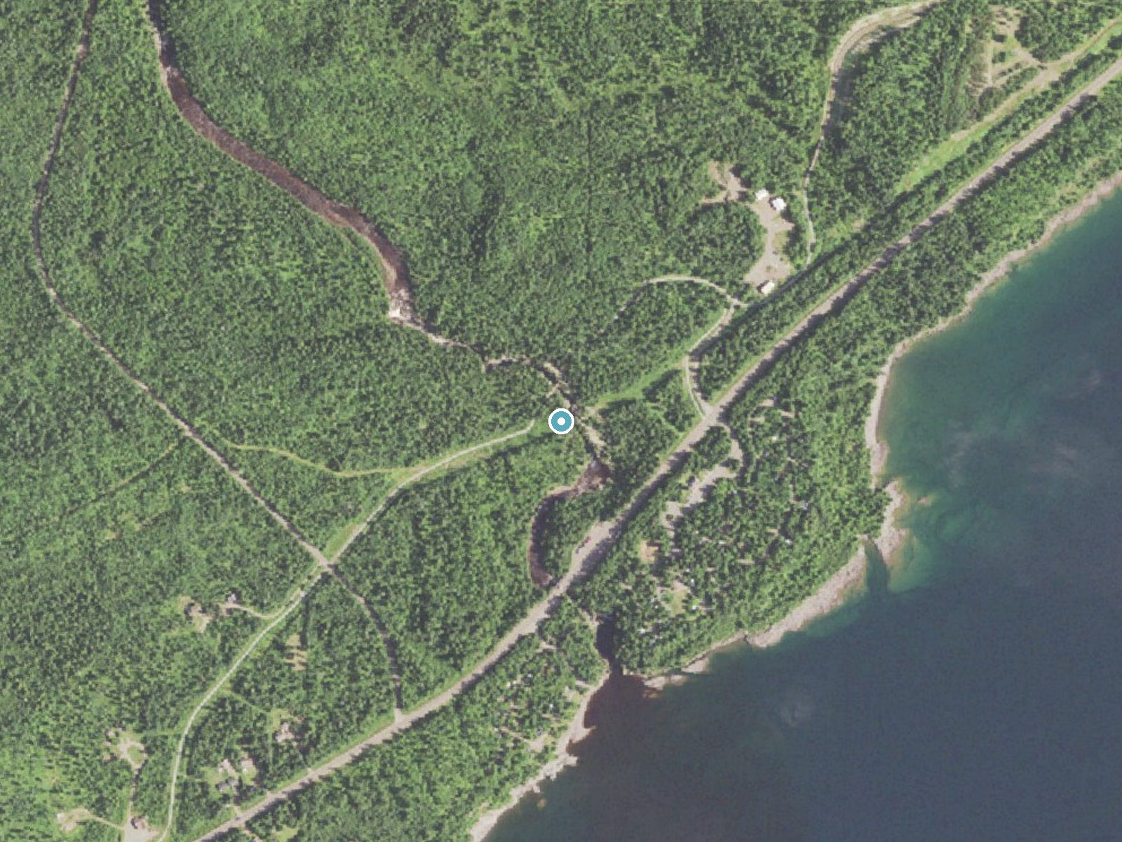
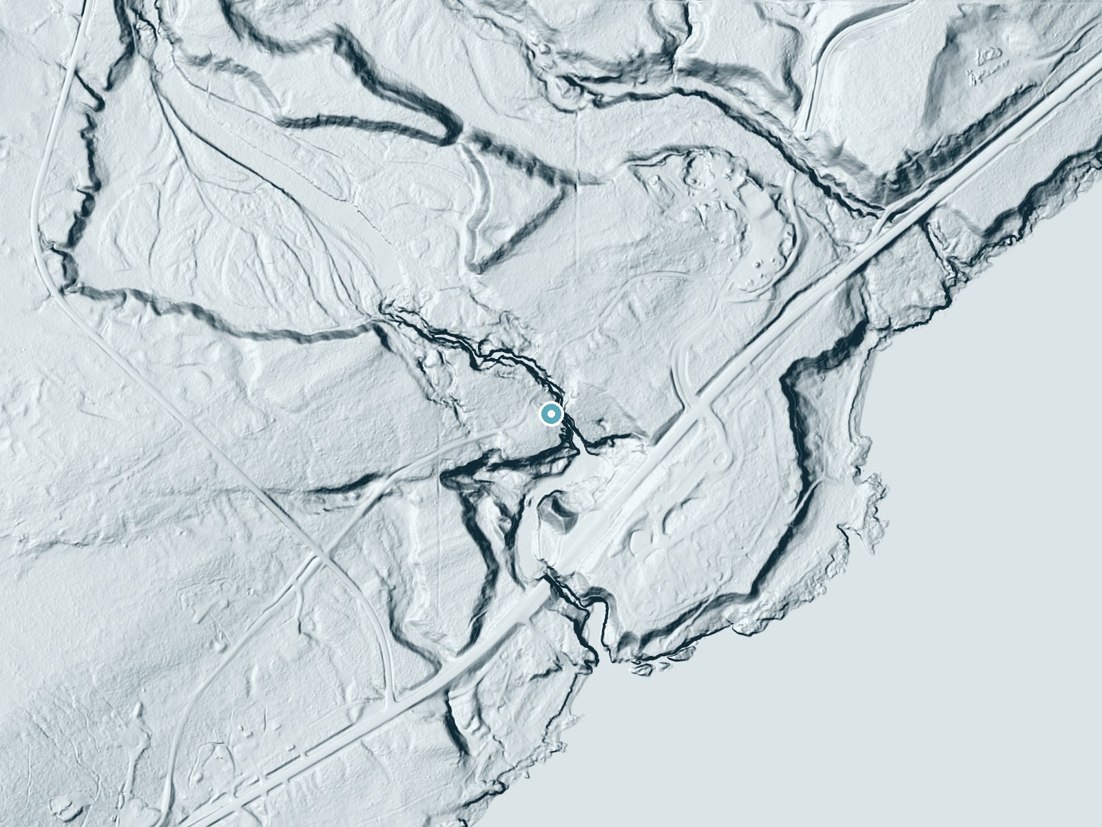
Drag to compare. The dot marks the waterfall. The frame is about a mile across.
- Ground elevation
- 716 feet
- Measured by 1-meter lidar
- Drop at the falls
- About 98 feet
- Change in ground height within ~250 feet of the falls
- Faces
- Southeast
- Sunlit most of the day. Go early or late for softer light.
A slice through the lidar ground surface, from above the falls to downstream (heading southeast).
Elevation data: USGS 3D Elevation Program. Aerial imagery: USGS The National Map. Public domain.
Location & Access
Getting There
Hidden Falls Regional Park is located in St. Paul, Minnesota. The park is accessible via Mississippi River Boulevard, and the falls are a short walk from the parking area.
Get Directions on Google MapsParking
There is a parking lot available at Hidden Falls Regional Park, with ample space for visitors.
Elevation
715 feet above sea level
Coordinates
47.556569° N, -90.874317° W
Land Management
Managed by SPR
Visitor Tips & Gear
Visit after recent rainfall or during spring snowmelt for the best views of the waterfall. Wear comfortable walking shoes, as the trail may be muddy after rain. Bring a camera to capture the scenic surroundings.
Where to Stay

Cliff Dweller on Lake Superior
Lutsen Sea Villas

AmericInn by Wyndham Tofte Near Lake Superior
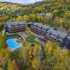
Caribou Highlands Lodge
Browse vacation cabins and private rentals nearby
Unique outdoor stays — tents, yurts, and treehouses
Rent a campervan or RV for your waterfall road trip
Some links are affiliate links. We may earn a commission at no extra cost to you.
Nearby Campground
Ninemile Lake Campground
9.4 miles away · 28 sites
Overview Ninemile Lake Campground is perfect for people wanting to do some exploring while camping. A boat ramp leads to Ninemile Lake, complete with islands and hidden bays. For birders and hikers, there is a trail through boreal hardwoods, beginning across the road from the campground entrance, with 0.5 miles of maintained hiking trail. North of the campground, on County 7, is access to Echo Lake, a portage access to Goldeneye Lake. Recreation Ninemile Lake is close to 300 acres in size. It is
Book on Recreation.govAdditional Information
Nearby Attractions
Nearby attractions include Minnehaha Falls, Fort Snelling State Park, and the Mississippi River trails.
Wildlife
The park is home to various bird species, squirrels, and other small wildlife. Visitors may also spot deer in the area.
Cities near Hidden Falls
Nearby Waterfalls
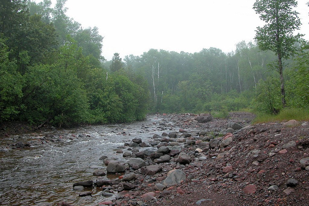
Other waterfalls named Hidden Falls
11 other waterfalls share this name across the U.S.
Writing about Hidden Falls? Embed this waterfall on your site for free.