Hidden Falls
Montana • Glacier National Park
By Armen Suny · Last verified Mar 2026
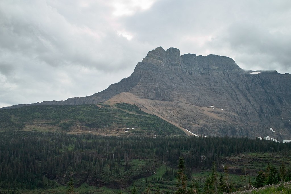
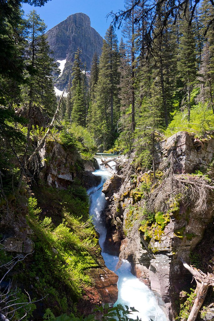
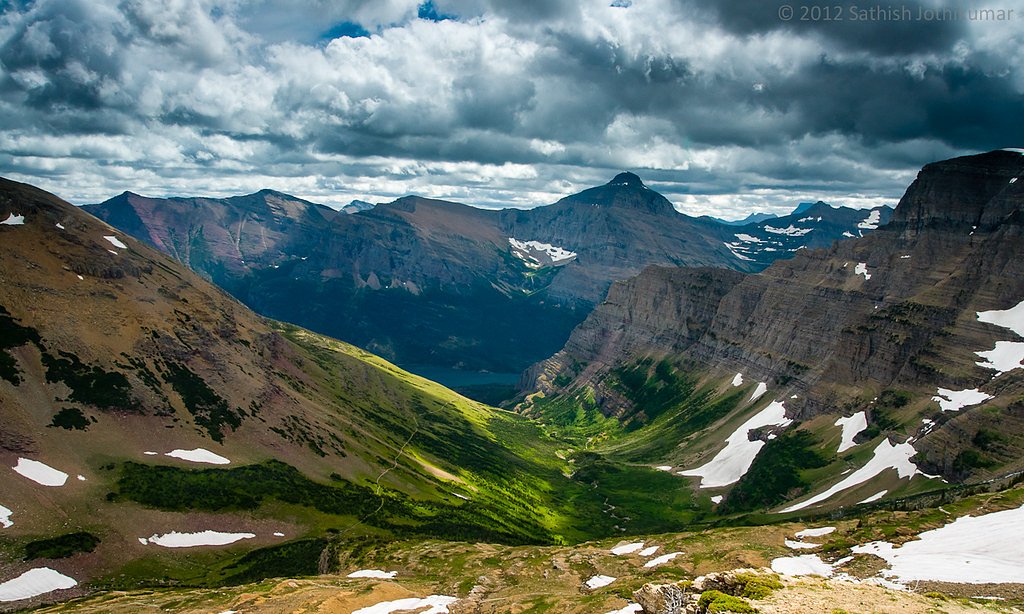
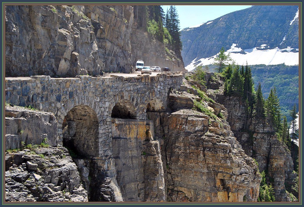

Photo Credits (5)
Difficulty
Moderate
Trail Length
3.0 miles
Trail Type
Out And Back
Elevation Gain
500 ft
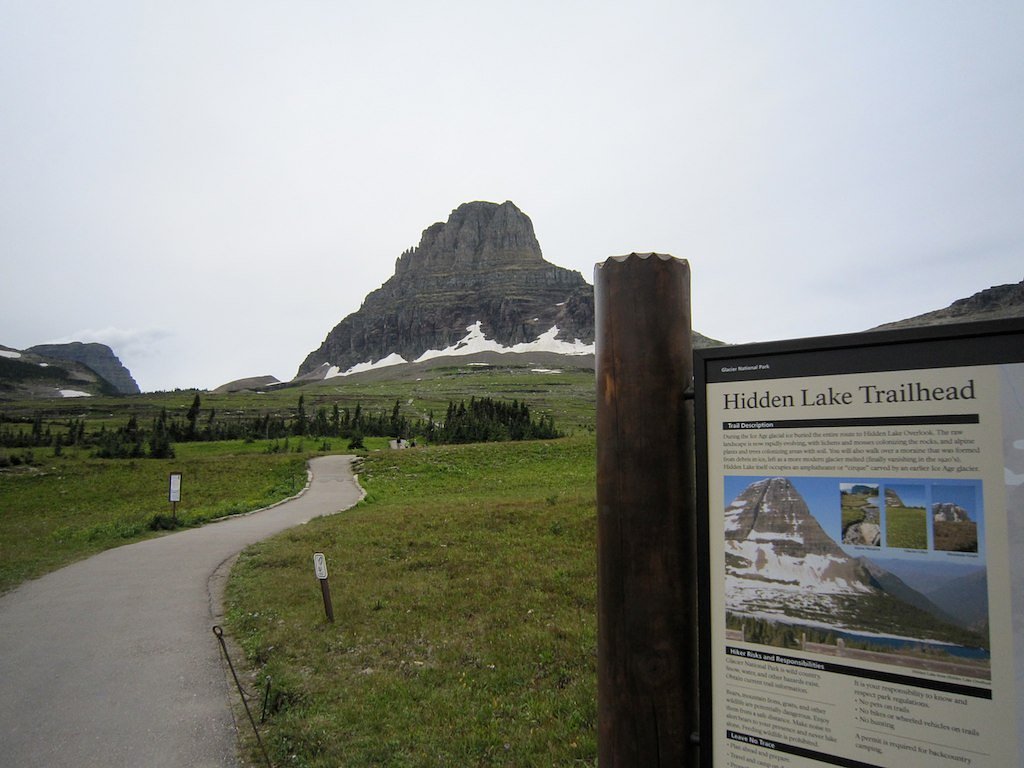
About Hidden Falls
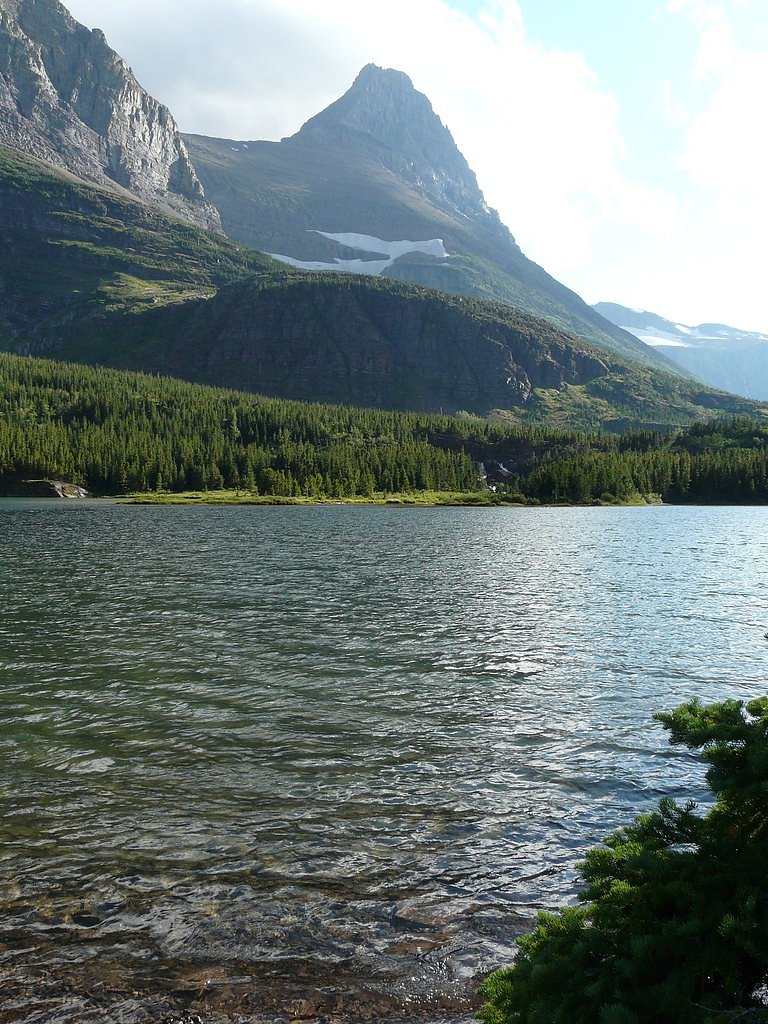
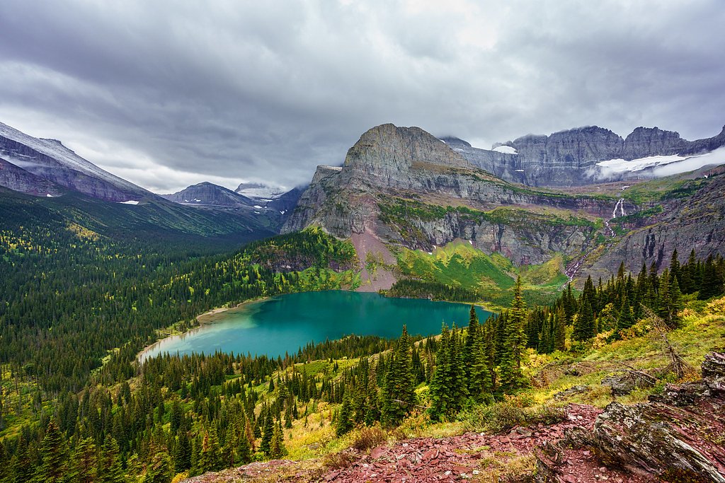
Hidden Falls is a tucked-away cascade within Glacier National Park, managed by the National Park Service. The waterfall sits in a quiet, forested part of the park and rewards hikers with a scenic, soothing endpoint after a moderately paced climb. The route is an out-and-back roughly 3.0 miles in length with about 500 feet of elevation gain, making it a good half-day outing for families and photographers seeking a relatively short, rewarding hike. Trail access and basic services are provided by Glacier National Park; Many Glacier Campground lies nearby, approximately 3.67 km from the trailhead, offering convenient camping for visitors who want to make a multi-day trip of exploring the area. Plan for variable footing near the falls and bring appropriate footwear and water — the trail’s natural setting and park management help keep the experience feeling wild and restorative.
The Setting
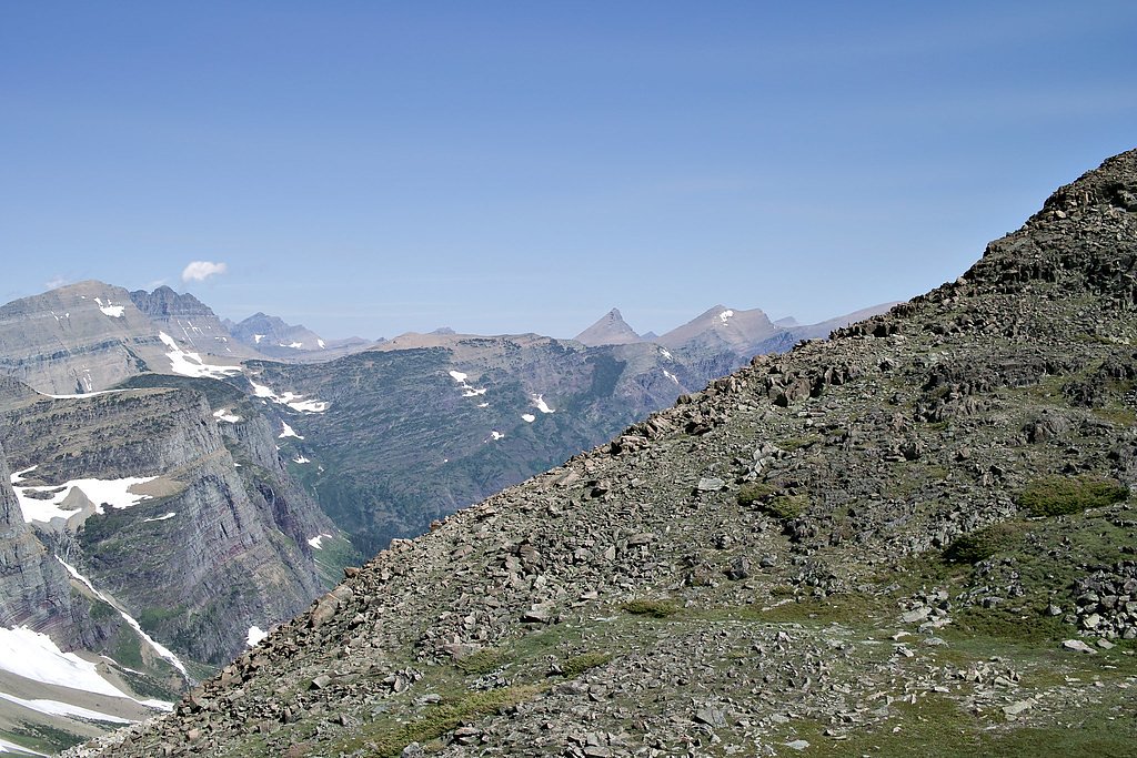
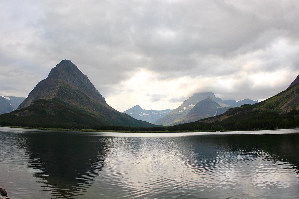
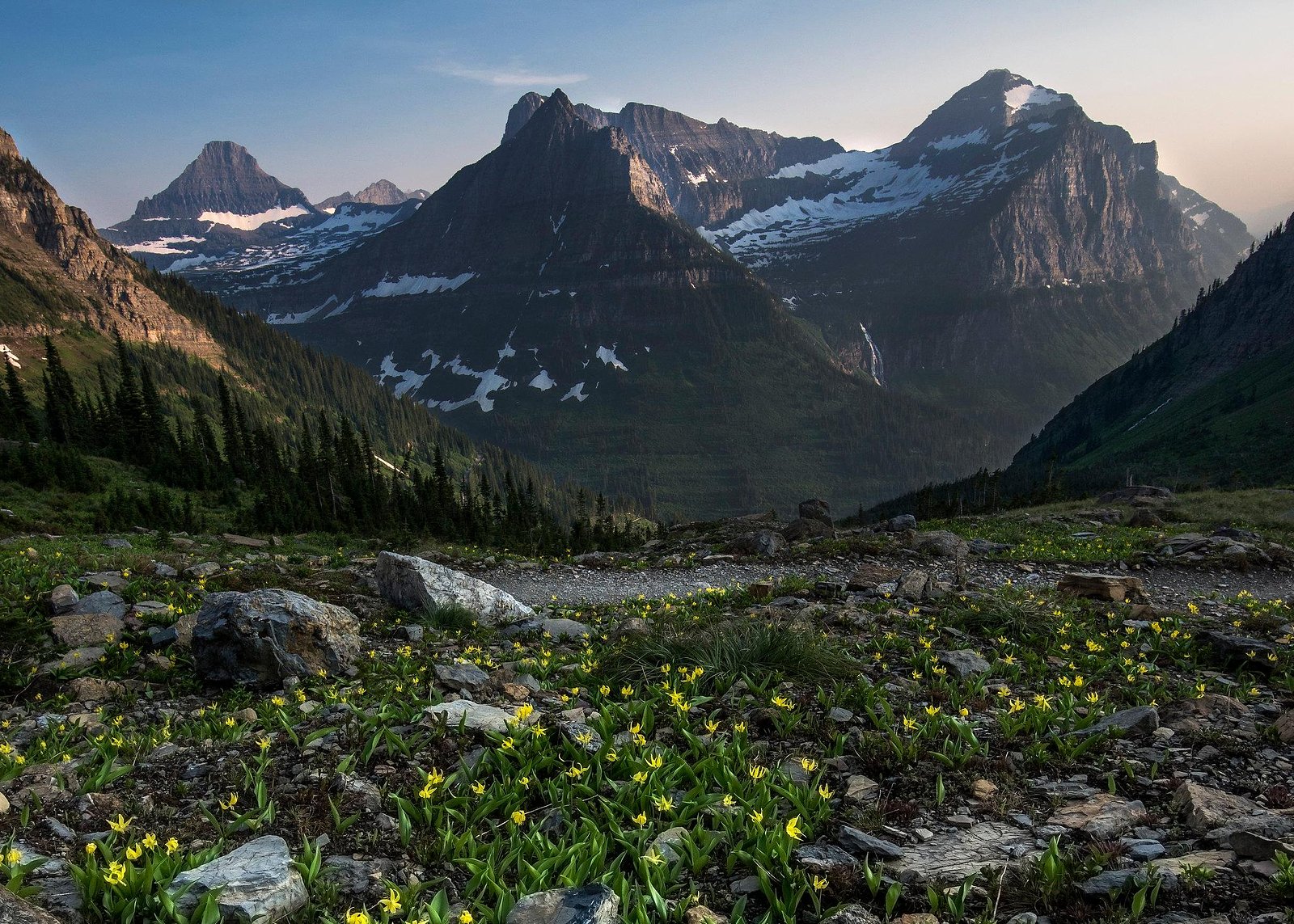
Hidden Falls sits at 4,967 feet within Glacier National Park, fed by the Swiftcurrent Creek, in the mountains of Montana.
Trail & Hike Details
The Approach
The moderate 3.0-mile out-and-back trail gains 500 feet of elevation on the way to the falls.
Trail Description
The Hidden Falls route is a 3.0-mile out-and-back trail with roughly 500 feet of elevation gain and is rated moderate. The tread is generally well-defined through forested terrain but includes short rocky or uneven sections and occasional wet or soft ground approaching the falls. Expect some steeper pitches on the approach and watch for stream crossings or slick surfaces near the waterfall; the trail is best tackled with sturdy footwear. Trail type: out-and-back. Length: 3.0 miles. Elevation gain: ~500 ft. Difficulty: moderate. Managed by: National Park Service (Glacier National Park). Nearest campground: Many Glacier Campground ~3.67 km away.
What to Expect
Dogs are welcome.
Accessibility
The trail is not wheelchair accessible. Uneven terrain and elevation changes require steady footing.
Frequently Asked Questions
🐶 Are Dogs Allowed at Hidden Falls?
✅ Dogs are allowed
Are There Any Fees or Permits Required?
🆖 No fees required
🏊 Is There Swimming at Hidden Falls?
❌ Swimming is not allowed
When to Visit
Late spring through early fall is the best time to visit, as the trail is more accessible and the waterfall flow is typically stronger due to snowmelt.
Seasonal Access
The best time to visit is Spring, Summer, and Fall. Winter access may be limited. Check with Glacier National Park for current conditions.
Safety Information
Be cautious of slippery rocks near the waterfall. Carry bear spray and make noise while hiking to avoid surprising wildlife. Check weather conditions before your visit, as storms can make the trail hazardous.
Current Water Conditions
255 ft³/s
Current discharge — how much water is flowing
Lower than usual for this time of year
Based on 114 years of record
2.36 ft
Water depth at gauge
7-Day Discharge Trend
What does this mean for your visit?
Flow is lower than usual for this time of year.
About This Gauge
7-Day Flow Outlook
Based on the USGS gauge Swiftcurrent Creek at Many Glacier MT (5 km away).
Today
Moderate
275 cfs
5/10Tomorrow
Moderate
294 cfs
6/10Mon
Moderate
294 cfs
6/10Tue
Moderate
282 cfs
6/10Wed
Moderate
269 cfs
6/10Thu
Moderate
238 cfs
8/10Fri
Moderate
251 cfs
6/10Best window: Thu — moderate flow, mostly sunny (trip score 8/10).
Best time of year: this gauge typically runs highest from late April to late July, peaking in June.
How we calculate this
This is a transparent outlook, not a precise forecast. We take the waterfall's current flow strength (how it ranks against its historical normal for today, from the nearest USGS stream gauge), carry that ranking forward along the gauge's seasonal curve, and nudge it for forecast rain. Confidence is highest for the next day or two and falls further out. Always check official conditions and your own judgment before visiting — high flows can be dangerous.
Know when to go.
Get a free email alert when waterfalls near Saint Mary hit peak flow. We only send when conditions are worth the trip — no weekly newsletters, no spam.
Weather Forecast
Location & Access
Getting There
Hidden Falls is located within the Jewel Basin Hiking Area in the Flathead National Forest, Montana. Access typically involves driving to the Camp Misery Trailhead, followed by a hike.
Get Directions on Google MapsParking
Parking is available at the Camp Misery Trailhead, but it can fill up quickly during peak seasons. Arrive early to secure a spot.
Elevation
4,967 feet above sea level
Coordinates
48.765952° N, -113.695686° W
Land Management
Managed by NPS
Visitor Tips & Gear
Wear sturdy hiking shoes, as the trail can be rocky and slippery in places. Bring plenty of water and snacks, and consider using trekking poles for added stability. Arrive early to avoid crowds and secure parking.
As an Amazon Associate, we earn from qualifying purchases.
With 3.0 miles and 500 ft of elevation gain, sturdy boots and trekking poles will help on this moderate trail. Sun exposure on the trail makes good sun protection a must in summer.
America the Beautiful Annual Pass
Covers entrance fees at 2,000+ federal recreation sites — required at most National Parks.

Polarized Sunglasses (Knockaround)
Cuts glare off the water so you actually see the falls — and your photos turn out better too.

Columbia Watertight II Rain Jacket
Packs into its own pocket, seam-sealed, and keeps you dry from spray and surprise rain.

Earth Pak Waterproof Dry Bag
Keeps your phone and gear dry when waterfall mist soaks everything else.

Waterproof Phone Pouch (AiRunTech)
Cheap insurance — take photos right next to the falls without killing your phone.

Timberland Euro Sprint Mid Waterproof
Trusted waterproof boot with premium leather and grippy rubber sole — reliable on rocky, wet trails.

TrailBuddy Trekking Poles
Lightweight aluminum, cork grips, and flip-locks that actually hold — a best-seller for good reason.
Where to Stay

St. Mary Village

Chief Mountain Cabins

Glacier Borealis - 27’ Glamping Trailer by Glacier

Walsh Cottage on the shores of Lake McDonald
Browse vacation cabins and private rentals nearby
Unique outdoor stays — tents, yurts, and treehouses
Rent a campervan or RV for your waterfall road trip
Some links are affiliate links. We may earn a commission at no extra cost to you.
Nearby Campground
MANY GLACIER CAMPGROUND
2.3 miles away · 110 sites
Overview The Many Glacier Campground is located on the east side of Glacier National Park, at an elevation of approximately 4,500 feet. The campground is located about 22 miles from the town of St. Mary and the east entrance to Glacier National Park. Babb, Montana, is the closest community to the Many Glacier Campground and is located approximately 12 miles east of the campground. Babb has a general store, gas station, several restaurants and an U.S. Post Office. Cell phone coverage is not availa
Book on Recreation.govAdditional Information
Nearby Attractions
Nearby attractions include other trails in the Jewel Basin Hiking Area and Flathead Lake, which is a short drive away.
Wildlife
The area is home to a variety of wildlife, including deer, birds, and occasionally bears. Carry bear spray and be aware of your surroundings.
Cities near Hidden Falls
Nearby Waterfalls
Other waterfalls named Hidden Falls
11 other waterfalls share this name across the U.S.
Writing about Hidden Falls? Embed this waterfall on your site for free.