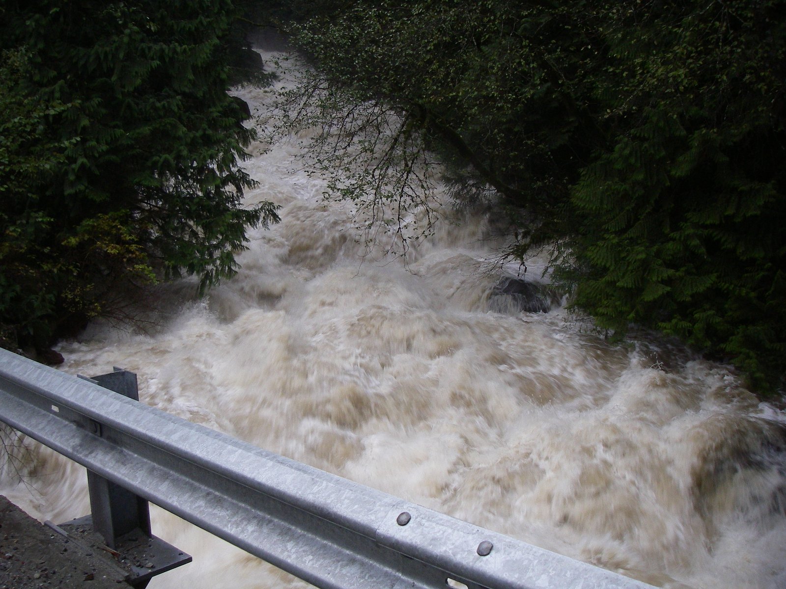
Rockwell Falls
British Columbia • 12 m
By Armen Suny · Last verified Jun 2026
About Rockwell Falls
Rockwell Falls is a small cascade-style waterfall in the Fraser Valley, British Columbia, located near Abbotsford (approx. 13.5 miles), Sumas (approx. 17.5 miles) and Everson, WA (approx. 18.1 miles). Coordinates: 49.2604, -122.3764. Public information on this feature is limited; it may be on or adjacent to informal/unmaintained logging roads or private land. Flow is typically highest in spring during snowmelt and after heavy rains, and lower in late summer.
The Setting
Rockwell Falls sits at 382 metres in the foothills of British Columbia. The falls drop 12 metres.
Why This Waterfall Exists
Rockwell Falls flows over hard intrusive rock laid down about 145-175 million years ago. These resistant rocks form a durable ledge that water cannot easily wear away, creating a 39-foot drop where softer material downstream has already eroded.
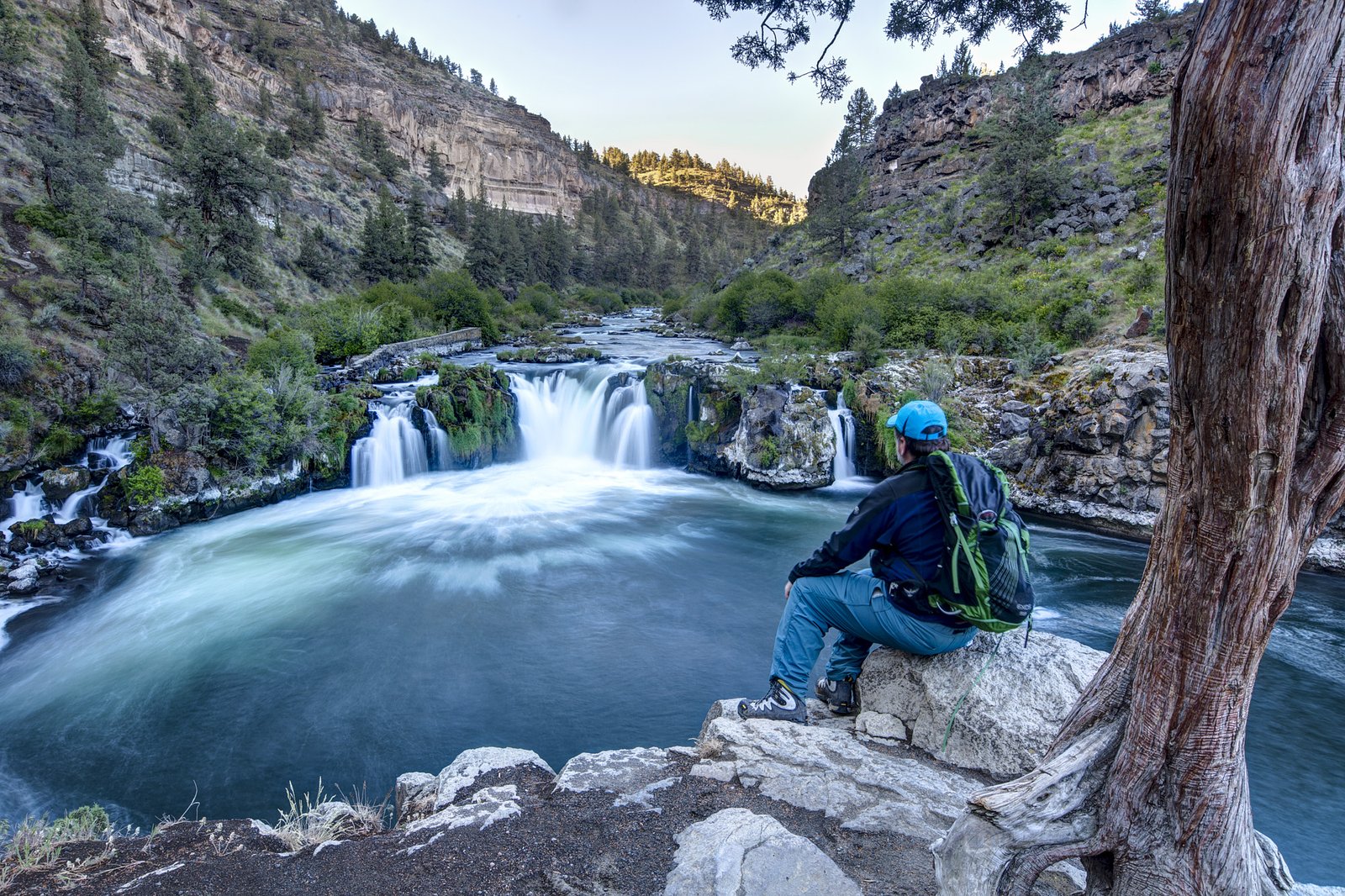
Nearby Falls Worth Visiting
Upper Kanaka Falls (25 m) lies 5.3 kilometres to the west. Also nearby: Rolley Falls (22 m, 1.1 km).
Trail & Hike Details
Trail Description
There is little confirmed public documentation of an established, maintained trail to Rockwell Falls. Expect an informal route that may include unpaved roads, short cross-country sections, brushy or steep terrain, and a final scramble to viewpoints near the creek. Trails (if present) may be short but uneven and potentially muddy or slippery. Because official trail condition reports are not readily available, treat the approach as minimally maintained.
What to Expect
The falls drop 12 metres over hard intrusive rock.
Accessibility
Not wheelchair or stroller accessible. Terrain is likely uneven, narrow, and may include steep or slippery sections; not suitable for visitors requiring full mobility access.
Frequently Asked Questions
🐶 Are Dogs Allowed at Rockwell Falls?
❌ Dogs are not allowed
Are There Any Fees or Permits Required?
🆖 No fees required
🏊 Is There Swimming at Rockwell Falls?
❌ Swimming is not allowed
When to Visit
Spring for highest water flow and greener surroundings; late spring/early summer for comfortable conditions. Fall can offer good color and fewer bugs but may be wetter and muddier. Winter visits are possible but expect icy and slippery conditions; exercise extra caution. Avoid very low-flow late summer if seeing a substantial cascade is your goal.
Seasonal Access
The best time to visit is Spring, Summer, Fall, and Winter. Check with the managing park or local authority for current conditions.
Safety Information
Potential hazards include: unstable or slippery rock and stream banks, steep drops near the falls, seasonal high flows and strong currents, hypothermia risk in cold water, limited or no cell service in parts of the approach, and possible presence of private property or active logging operations. Always verify land access and current conditions before visiting. Use caution during and after heavy rain when water levels and flow can rise rapidly.
Current Water Conditions
0.2 m³/s
Current discharge — how much water is flowing
Lower than usual for this time of year
Based on 64 years of record
0.84 m
Water depth at gauge
7-Day Discharge Trend
What does this mean for your visit?
Flow is lower than usual for this time of year.
About This Gauge
This gauge is on a nearby waterway and may not reflect exact conditions at the falls.
7-Day Flow Outlook
Based on the WSC gauge KANAKA CREEK NEAR WEBSTER CORNERS (13 km away).
Today
Low
0.2 m³/s
5/10Tomorrow
Low
0.2 m³/s
5/10Tue
Low
0.2 m³/s
5/10Wed
Low
0.1 m³/s
5/10Thu
Moderate
0.2 m³/s
5/10Fri
Moderate
0.1 m³/s
6/10Sat
Moderate
0.1 m³/s
5/10Best window: Fri — moderate flow, cloudy (trip score 6/10).
Best time of year: this gauge typically runs highest from early November to late December, peaking in December.
How we calculate this
This is a transparent outlook, not a precise forecast. We take the waterfall's current flow strength (how it ranks against its historical normal for today, from the nearest WSC stream gauge), carry that ranking forward along the gauge's seasonal curve, and nudge it for forecast rain. Confidence is highest for the next day or two and falls further out. Always check official conditions and your own judgment before visiting — high flows can be dangerous.
Know when to go.
Get a free email alert when waterfalls near Abbotsford hit peak flow. We only send when conditions are worth the trip — no weekly newsletters, no spam.
Weather Forecast
Location & Access
Getting There
General location: 49.2604, -122.3764 in the rural/forested area northeast of Abbotsford and west of Sumas Mountain. Approaches reported for similar small falls in the Fraser Valley commonly use local paved or unpaved logging roads and short off-trail routes. Visitors should plan to navigate to the coordinates with a GPS or mapping app and verify land ownership and access before attempting to reach the falls. 4x4/high-clearance vehicles may be useful on unpaved roads; expect limited signage.
Get Directions on Google MapsParking
No formal parking lot is known. Parking may be limited to roadside pullouts or an informal parking area. Do not block gates or access roads; confirm that you are parked legally and not on private property.
Elevation
382 metres above sea level
Coordinates
49.260439° N, -122.376392° W
Visitor Tips & Gear
• Confirm land ownership and access before visiting; obtain permission if the falls are on private property. • Wear sturdy waterproof hiking shoes with good traction; expect slippery rocks and muddy trail sections. • Bring a GPS or mapping app and the coordinates (49.2604, -122.3764); cell coverage may be spotty in parts of the valley. • Leave no trace: pack out what you bring in. • Tell someone your route and expected return time. • Be cautious near the water: currents and undercut banks can be hazardous. • Avoid visiting alone in remote areas and consider a partner for safety.
Where to Stay
Browse vacation cabins and private rentals nearby
Unique outdoor stays — tents, yurts, and treehouses
Rent a campervan or RV for your waterfall road trip
Some links are affiliate links. We may earn a commission at no extra cost to you.
Nearby Campground
Rolley Lake Campground
1.7 km away
Nearby Hot Springs
Hot springs near Abbotsford, British Columbia
Dorr Fumarole Field
Dorr Fumarole Field reaches 194 degrees at 8,168 feet elevation on Mount Baker's active volcanic slopes, producing superheated ...

Sherman Crater Fumaroles
Sherman Crater Fumaroles register 266 degrees Fahrenheit at 9,463 feet elevation within the active volcanic crater atop Mount B...
Baker Hot Spring
Baker Hot Spring emerges at 108 degrees Fahrenheit on US Forest Service land in Mt. Baker National Forest, flowing 59.5 degrees...
Looking for a soak after your hike? Explore more hot springs near Abbotsford, British Columbia on SoakingSprings.
Explore British Columbia springsAdditional Information
Nearby Attractions
Abbotsford (city amenities), Sumas Mountain and local rural recreation areas, Vedder/Chilliwack River systems (nearby river recreation), other Fraser Valley scenic spots. Confirm distances and routes – some attractions may be a short drive while others require additional travel.
Wildlife
Typical Fraser Valley wildlife may be present: black bears, cougars (rare), deer, small mammals, birds of prey, waterfowl, mosquitoes and ticks. Take standard precautions for encounters and tick prevention.
Cities near Rockwell Falls
Nearby Waterfalls
Other waterfalls named Rockwell Falls
1 other waterfall shares this name across Canada.
Writing about Rockwell Falls? Embed this waterfall on your site for free.