Mystery Falls
British Columbia • Garibaldi Park • 100 m
By Armen Suny · Last verified Jun 2026
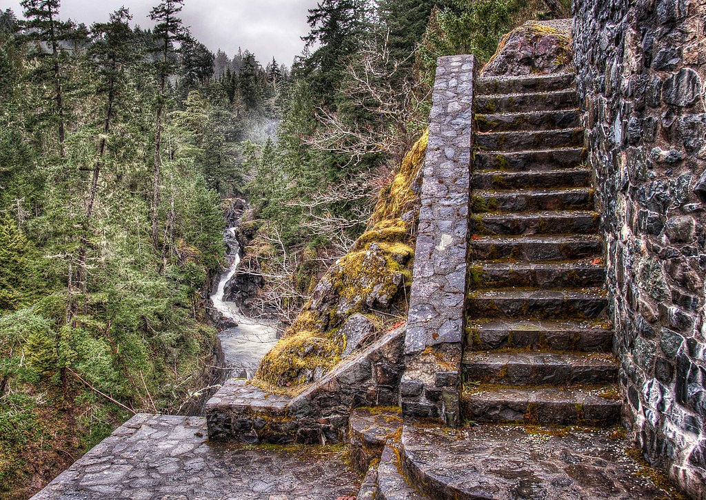
Photo Credits (2)
Difficulty
Drive Up
Trail Length
0.2 km
About Mystery Falls
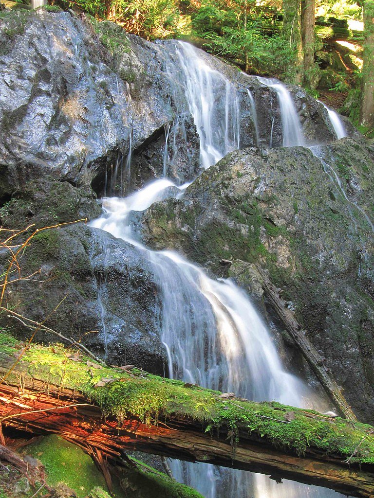
Mystery Falls (coords 50.217, -122.8355) is a lesser-known cascade in the coastal/interior transition zone of southwestern British Columbia. There is limited official documentation for this name at these coordinates; local reports indicate a small-to-moderate cascade on a tributary stream in a forested, mountainous setting. Access appears to involve forest/secondary roads and an informal/unmarked trail or cross-country approach. Flow is typically highest in spring and early summer with snowmelt and after heavy rain; late summer flows may be reduced.
The Setting
Mystery Falls sits at 1,195 metres within Garibaldi Park, in the mountains of British Columbia. At 100 metres, it is among the taller waterfalls in British Columbia.
Why This Waterfall Exists
Mystery Falls flows over hard intrusive rock laid down about 66-145 million years ago. These resistant rocks form a durable ledge that water cannot easily wear away, creating a 328-foot drop where softer material downstream has already eroded.
Trail & Hike Details
The Approach
No hiking required. Mystery Falls is accessible by vehicle with a roadside viewing area.
Trail Description
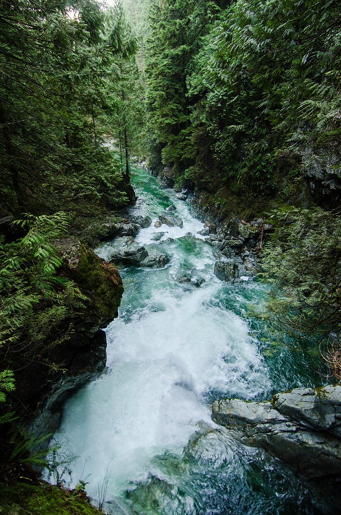
There is no well-documented maintained trail to Mystery Falls at the given coordinates. Visitors report that reaching the falls typically involves driving as far as a suitable forestry-road pullout and then following an informal path, game trails, or bushwhacking through forested terrain. Terrain may include steep, wet slopes, loose rock, and alder or brush. Navigation using GPS, topographic maps, and good route-finding skills is recommended. Expect uneven footing and potentially slippery logs and rock near the water.
What to Expect
The falls plunge a dramatic 100 metres over hard intrusive rock.
Accessibility
This waterfall is viewable from a vehicle-accessible area. No hiking is required.
Frequently Asked Questions
🐶 Are Dogs Allowed at Mystery Falls?
❌ Dogs are not allowed
Are There Any Fees or Permits Required?
🆖 No fees required
🏊 Is There Swimming at Mystery Falls?
❌ Swimming is not allowed
When to Visit
Spring through early summer for peak flow and fuller cascades (snowmelt). Late summer may offer easier road conditions but lower flow. Fall offers color but can bring more rain and unstable road conditions. Winter likely brings snow and ice, making access difficult and hazardous.
Seasonal Access
The best time to visit is Spring, Summer, and Fall. Winter access may be limited. Check with Garibaldi Park for current conditions.
Safety Information
Hazards may include: rough and unmaintained forest service roads, steep and slippery banks near the water, loose rock, fast cold water and undercut stream banks, sudden increases in flow after heavy rain or dam/culvert releases upstream, limited cell phone reception, and wildlife encounters. If approaching in winter, expect snow, ice, and avalanche risk in some areas. Always plan conservatively, travel with a partner if possible, inform someone of your plans, and carry navigation and emergency gear.
Current Water Conditions
2.2 m³/s
Current discharge — how much water is flowing
Lower than usual for this time of year
Based on 37 years of record
2.05 m
Water depth at gauge
7-Day Discharge Trend
What does this mean for your visit?
Flow is lower than usual for this time of year.
About This Gauge
This gauge is on a nearby waterway and may not reflect exact conditions at the falls.
7-Day Flow Outlook
Based on the WSC gauge PEMBERTON CREEK NEAR PEMBERTON (11 km away).
Today
Low
2.1 m³/s
6/10Tomorrow
Low
2.2 m³/s
6/10Tue
Low
2.3 m³/s
5/10Wed
Low
2.2 m³/s
5/10Thu
Low
2.2 m³/s
5/10Fri
Low
2.2 m³/s
5/10Sat
Low
2.3 m³/s
4/10Best window: Today — low flow, sunny (trip score 6/10).
Best time of year: this gauge typically runs highest from mid May to early August, peaking in June.
How we calculate this
This is a transparent outlook, not a precise forecast. We take the waterfall's current flow strength (how it ranks against its historical normal for today, from the nearest WSC stream gauge), carry that ranking forward along the gauge's seasonal curve, and nudge it for forecast rain. Confidence is highest for the next day or two and falls further out. Always check official conditions and your own judgment before visiting — high flows can be dangerous.
Know when to go.
Get a free email alert when waterfalls near Lillooet hit peak flow. We only send when conditions are worth the trip — no weekly newsletters, no spam.
Weather Forecast
Location & Access
Getting There
Use the provided coordinates (50.217, -122.8355) in a GPS unit. The falls are in a remote, mountainous area accessed from Highway 99 / local forest service roads south of Lillooet and near the Pemberton/Birken area. Expect gravel forestry roads that may require a high-clearance or 4x4 vehicle; some sections may be impassable after heavy rain or in winter. There is no clearly signed public trailhead identified in official sources; approach may require route-finding and possibly crossing streams or rough terrain. Confirm land status (Crown land vs. private) before crossing private property.
Get Directions on Google MapsParking
No official parking lot is documented. Likely opportunities for roadside pullouts or informal parking near a forest service road junction. Park safely off the traveled way, avoid blocking gates or access, and follow posted signs.
Elevation
1,195 metres above sea level
Coordinates
50.216963° N, -122.835487° W
Land Management
Managed by Government of British Columbia
Visitor Tips & Gear
1) Use a reliable GPS and bring a topographic map; coordinates are essential. 2) Check road and weather conditions before travel; forestry roads can be rough and sometimes gated. 3) Wear waterproof, grippy footwear and long pants for brush. 4) There may be no cell service, tell someone your plan and expected return time. 5) Be prepared for limited or no facilities: pack out all trash and follow Leave No Trace. 6) Respect private property and posted closures. 7) Spring/early summer offers highest flows; late summer may have reduced water.
Where to Stay
Browse vacation cabins and private rentals nearby
Unique outdoor stays — tents, yurts, and treehouses
Rent a campervan or RV for your waterfall road trip
Some links are affiliate links. We may earn a commission at no extra cost to you.
Nearby Campground
Riverside Dispersed Camping
6.3 km away
Additional Information
Nearby Attractions
The general region includes outdoor destinations such as the Pemberton Valley, Nairn Falls Provincial Park (further south near Pemberton), Birkenhead Lake Provincial Park, and numerous backcountry hiking and climbing opportunities. Lillooet is approximately 61 miles (as provided) from these coordinates and offers services and historical sites.
Wildlife
Black bear, cougar (possible but rarely seen), deer, small mammals, and various bird species are present in the region. Take standard wildlife precautions: store food securely, make noise on approach, and carry bear spray where appropriate.
Cities near Mystery Falls
Nearby Waterfalls
Other waterfalls named Mystery Falls
2 other waterfalls share this name across Canada.
Writing about Mystery Falls? Embed this waterfall on your site for free.