
Twin Waterfall
By Armen Suny · Last verified Oct 2026
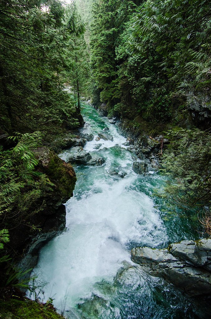


Photo Credits (5)
About Twin Waterfall
Twin Waterfall is on South Ziggurat Creek, a small tributary on the east side of the Green River valley north of Green Lake, roughly 10 km northeast of Whistler Village. Mapping data shows several other small falls on the same creek, including Keyhole Fall and Lower and Upper Ziggurat Falls. We found no official or published trail guide, height or land-access information.
Why This Waterfall Exists
Twin Waterfall flows over hard intrusive rock laid down about 66-145 million years ago. These resistant rocks form a durable ledge that water cannot easily wear away, creating the falls where softer material downstream has already eroded.
Nearby Falls Worth Visiting
Mystery Falls (100 m) lies 3.5 kilometres to the northeast.
Trail & Hike Details
Trail Description
OpenStreetMap shows an informal path named the Twin Falls Trail and a Ziggurat Creek Trail starting from forestry spur roads below the falls, plus steeper informal paths to the other falls on the creek and a posted warning about standing dead trees. We could not confirm the route, its length or that it is open to the public.
Accessibility
Accessibility is likely limited. Expect rough, uneven surfaces, steep approaches, and no formal accessible infrastructure. Not suitable for wheelchairs or those requiring firm, level surfaces unless otherwise indicated by a local accessibility resource.
Frequently Asked Questions
🐶 Are Dogs Allowed at Twin Waterfall?
❌ Dogs are not allowed
Are There Any Fees or Permits Required?
🆖 No fees required
🏊 Is There Swimming at Twin Waterfall?
❌ Swimming is not allowed
When to Visit
Spring to early summer for strongest flow and most dramatic appearance. Late summer and fall can be drier, with lower flows. Winter access may be restricted or require winter gear and skill due to snow and icy conditions, proceed only if experienced and properly equipped.
Seasonal Access
The best time to visit is Spring, Summer, Fall, and Winter. Check with the managing park or local authority for current conditions.
Safety Information
Potential hazards include remote location with limited cell service, unstable or slippery banks near the water, fast currents and cold water temperatures, steep or unmarked trails, and seasonal road closures or washouts. Weather can change rapidly in the mountains. If accessing via logging roads, be cautious of industrial traffic and gated/seasonally closed roads. Always check local conditions, carry appropriate gear, and do not underestimate water currents or slippery rock surfaces.
Current Water Conditions
These readings come from the Water Survey of Canada gauge on Fitzsimmons Creek, 9.9 km away, not on Twin Waterfall's own stream. Use them as a sign of whether the area is running wet or dry.
1.2 m³/s
Current discharge — how much water is flowing
Much lower than usual for this time of year
Based on 30 years of record
5.55 m
Water depth at gauge
7-Day Discharge Trend
What does this mean for your visit?
Flow is well below normal for this time of year, so the waterfall may be a trickle.
About This Gauge
This gauge is on a nearby waterway and may not reflect exact conditions at the falls.
7-Day Flow Outlook
Based on the WSC gauge FITZSIMMONS CREEK BELOW BLACKCOMB CREEK (10 km away).
Today
Barely Flowing
1.2 m³/s
4/10Tomorrow
Barely Flowing
1.2 m³/s
4/10Sat
Barely Flowing
1.2 m³/s
3/10Sun
Low
1.3 m³/s
4/10Mon
Barely Flowing
1.2 m³/s
4/10Tue
Barely Flowing
1.2 m³/s
4/10Wed
Barely Flowing
1.2 m³/s
4/10Best window: Today — barely flowing flow, cloudy (trip score 4/10).
Best time of year: this gauge typically runs highest from late May to mid August, peaking in June.
How we calculate this
This is a transparent outlook, not a precise forecast. We take the waterfall's current flow strength (how it ranks against its historical normal for today, from the nearest WSC stream gauge), carry that ranking forward along the gauge's seasonal curve, and nudge it for forecast rain. Confidence is highest for the next day or two and falls further out. Always check official conditions and your own judgment before visiting — high flows can be dangerous.
Know when to go.
Get a free email alert when waterfalls near Lillooet hit peak flow. We only send when conditions are worth the trip — no weekly newsletters, no spam.
Weather Forecast
Location & Access
Getting There
The falls are north of Green Lake along the Highway 99 corridor between Whistler and Pemberton. We found no published directions; mapping data shows access from forestry spur roads, which may be rough or gated.
Get Directions on Google MapsElevation
785 metres above sea level
Coordinates
50.189562° N, -122.860635° W
Visitor Tips & Gear
• Check recent trip reports or contact local land managers before you go. • Tell someone your route and expected return time; expect limited cell coverage. • Wear sturdy, waterproof footwear with good traction; use caution on wet rocks. • Bring a map, GPS, or offline mapping app, trail may be unmarked. • Avoid approaching the edge of the falls or climbing on wet rocks. • Be prepared for sudden weather changes and for cold water even in summer. • Pack out all trash and practice Leave No Trace. • If access requires crossing private land or active logging roads, obtain permission and follow signage.
Where to Stay
Browse vacation cabins and private rentals nearby
Unique outdoor stays — tents, yurts, and treehouses
Rent a campervan or RV for your waterfall road trip
Some links are affiliate links. We may earn a commission at no extra cost to you.
Nearby Campground
Riverside Dispersed Camping
2.8 km away
Additional Information
Nearby Attractions
Green Lake and Whistler to the south, and Nairn Falls on the Green River farther north toward Pemberton.
Cities near Twin Waterfall
Nearby Waterfalls
Writing about Twin Waterfall? Embed this waterfall on your site for free.