Mid Madeley Falls
By Armen Suny · Last verified Jun 2026
About Mid Madeley Falls
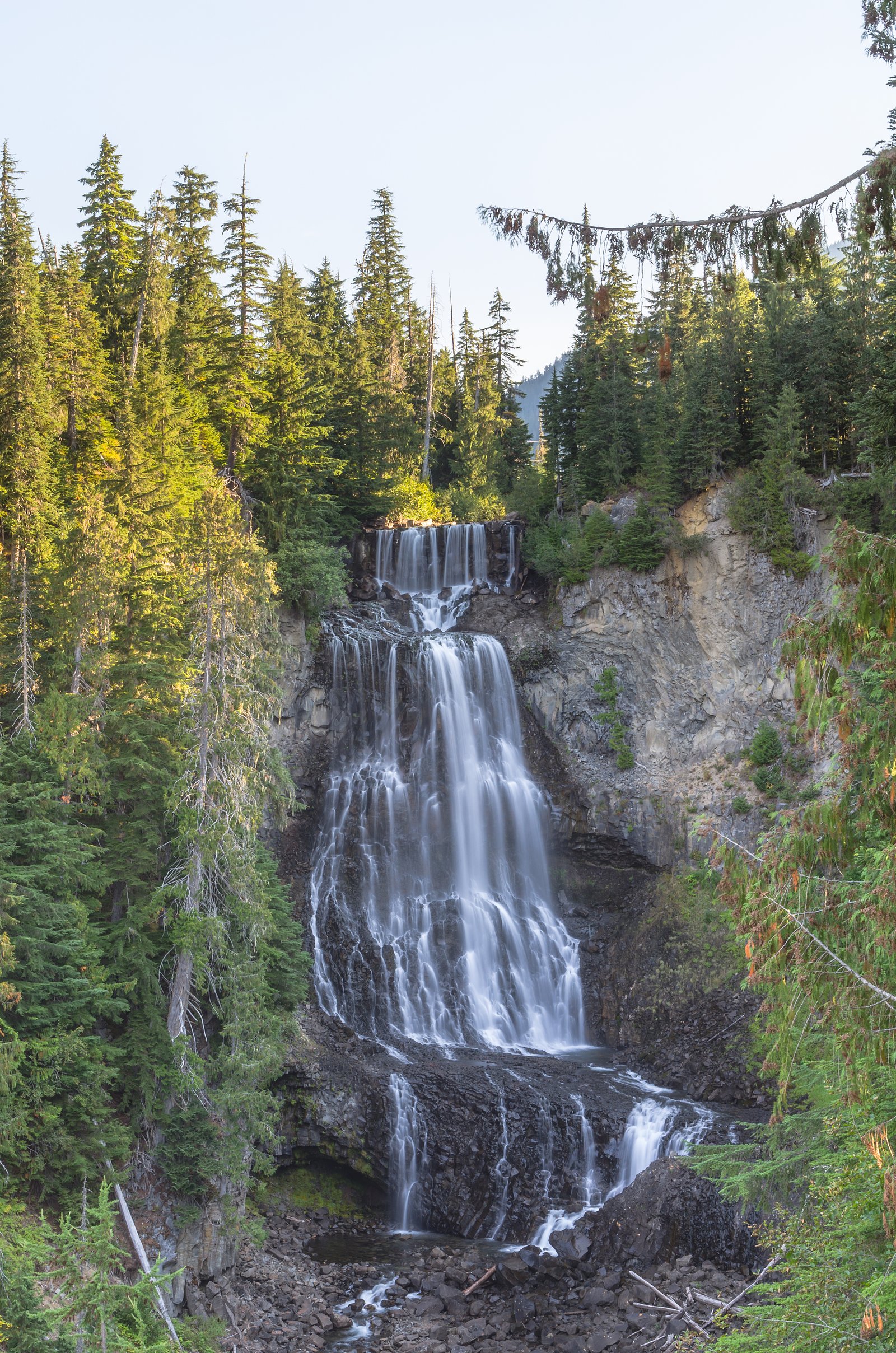
Mid Madeley Falls is a small cascade located at approximately 50.1546, -123.1264 in coastal British Columbia. The waterfall appears to be in a forested, likely rugged setting typical of Vancouver Island and coastal mainland streams. Specific published guidebook information for “Mid Madeley Falls” is limited; details below are conservative and may be subject to local variation. Visitors should verify current local maps and forestry/park notices before travel.
Why This Waterfall Exists
Mid Madeley Falls flows over hard intrusive rock laid down about 101-145 million years ago. These resistant rocks form a durable ledge that water cannot easily wear away, creating the falls where softer material downstream has already eroded.
Nearby Falls Worth Visiting
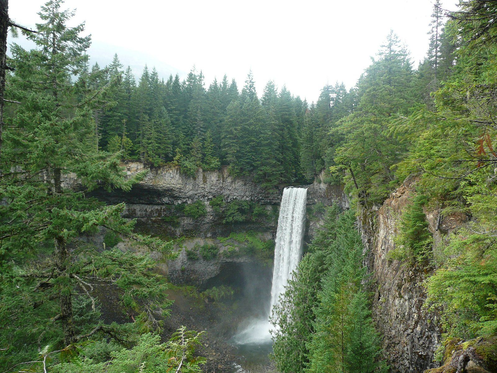
Brandywine falls (70 m) lies 13.2 kilometres to the south. Also nearby: Alexander Falls (43 m, 2.3 km) and Soo Falls (30 m, 9.7 km).
Trail & Hike Details
Trail Description
Reliable, detailed trail descriptions and official maps for Mid Madeley Falls are not readily available in major public hiking databases. Approaches may involve a short bushwhack or a lightly used footpath rather than a signed, maintained trail. Terrain may include roots, rocks, and wet/slippery sections near the stream. If there is an established viewpoint it may be informal; caution and good route-finding skills are recommended.
What to Expect
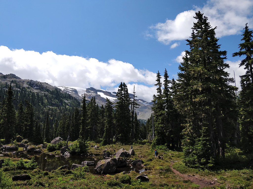
Expect a wooded setting with typical coastal temperate rainforest vegetation (ferns, mosses, conifers). Water flow is likely highest in spring and after heavy rain. There may be no handrails, fences, or official viewing platforms. Cell coverage may be intermittent. Seasonal muddy or icy conditions are possible. Wildlife in the general region can include black bears, deer, small mammals, and various bird species.
Accessibility
The site is unlikely to be wheelchair accessible. Trails (if present) may be rough, narrow, and include uneven, muddy, or steep sections.
Frequently Asked Questions
🐶 Are Dogs Allowed at Mid Madeley Falls?
❌ Dogs are not allowed
Are There Any Fees or Permits Required?
🆖 No fees required
🏊 Is There Swimming at Mid Madeley Falls?
❌ Swimming is not allowed
When to Visit
Spring and early summer for the fullest water flow; summer and fall can be drier but are often easier for access. Winter visits may be scenic but can carry higher risk from ice, snow, and poor road conditions, exercise extra caution.
Seasonal Access
The best time to visit is Spring, Summer, Fall, and Winter. Check with the managing park or local authority for current conditions.
Safety Information
Hazards may include slippery rocks, steep or unstable banks, falling rock or tree debris, fast-flowing water after rain, limited or no cell coverage, and changing weather. Roads leading to the site may be rough or gated. Always tell someone your route and expected return time, carry navigation tools, and avoid getting close to the edge of wet rocks or ledges. In winter, ice and snow increase risk, use appropriate gear.
Current Water Conditions
31.9 m³/s
Current discharge — how much water is flowing
Much lower than usual for this time of year
Based on 43 years of record
2.43 m
Water depth at gauge
7-Day Discharge Trend
What does this mean for your visit?
Flow is well below normal for this time of year, so the waterfall may be a trickle.
About This Gauge
This gauge is on a nearby waterway and may not reflect exact conditions at the falls.
7-Day Flow Outlook
Based on the WSC gauge CHEAKAMUS RIVER ABOVE MILLAR CREEK (11 km away).
Today
Barely Flowing
32 m³/s
4/10Tomorrow
Barely Flowing
33 m³/s
5/10Tue
Barely Flowing
34 m³/s
4/10Wed
Barely Flowing
36 m³/s
4/10Thu
Barely Flowing
34 m³/s
4/10Fri
Barely Flowing
36 m³/s
3/10Sat
Low
36 m³/s
4/10Best window: Tomorrow — barely flowing flow, sunny (trip score 5/10).
Best time of year: this gauge typically runs highest from late May to late August, peaking in July.
How we calculate this
This is a transparent outlook, not a precise forecast. We take the waterfall's current flow strength (how it ranks against its historical normal for today, from the nearest WSC stream gauge), carry that ranking forward along the gauge's seasonal curve, and nudge it for forecast rain. Confidence is highest for the next day or two and falls further out. Always check official conditions and your own judgment before visiting — high flows can be dangerous.
Weather Forecast
Location & Access
Getting There
The waterfall is located at the provided coordinates (50.1546, -123.1264). Access may require travel on secondary or forest/logging roads followed by an unmaintained or lightly maintained trail. Exact public access points, trailheads, and road conditions are not confirmed here, expect variable road surfaces and possible seasonal closures. Use a detailed local map, GPS with the coordinates, and check with local provincial park or forestry offices for current access advisories.
Get Directions on Google MapsParking
Parking is likely informal (roadside pullout or small unimproved parking area). There may be no designated lot, signage, or facilities. Park well off the road, avoid blocking gates or driveways, and follow Leave No Trace principles.
Elevation
886 metres above sea level
Coordinates
50.154621° N, -123.126441° W
Visitor Tips & Gear
• Confirm access and road conditions locally before traveling; logging roads can be gated or seasonally closed. • Wear sturdy, waterproof footwear with good traction; expect wet and slippery rock near the falls. • Bring a map, GPS with the coordinates, and a compass; trails may be unmarked. • Give wildlife space; store food securely. • Avoid scrambling on wet ledges; rock falls and unstable banks are a hazard. • If visiting in winter, bring traction devices and dress for cold, wet conditions. • Pack out all trash and avoid creating new trails or braiding the vegetation.
Where to Stay
Browse vacation cabins and private rentals nearby
Unique outdoor stays — tents, yurts, and treehouses
Rent a campervan or RV for your waterfall road trip
Some links are affiliate links. We may earn a commission at no extra cost to you.
Nearby Campground
Madeley Lake Campsite
3.2 km away
Additional Information
Nearby Attractions
Specific nearby attractions are not confirmed for this exact coordinate. The location is in a coastal British Columbia forested area where provincial parks, local trails, beaches, and other waterfalls may be found in the broader region; consult regional recreation maps for confirmed nearby sites.
Wildlife
Typical coastal BC wildlife may be present: black bears, deer, small mammals (e.g., raccoons), amphibians, and a variety of birds. Exercise normal wildlife safety precautions and be bear-aware where appropriate.
Nearby Waterfalls
Writing about Mid Madeley Falls? Embed this waterfall on your site for free.