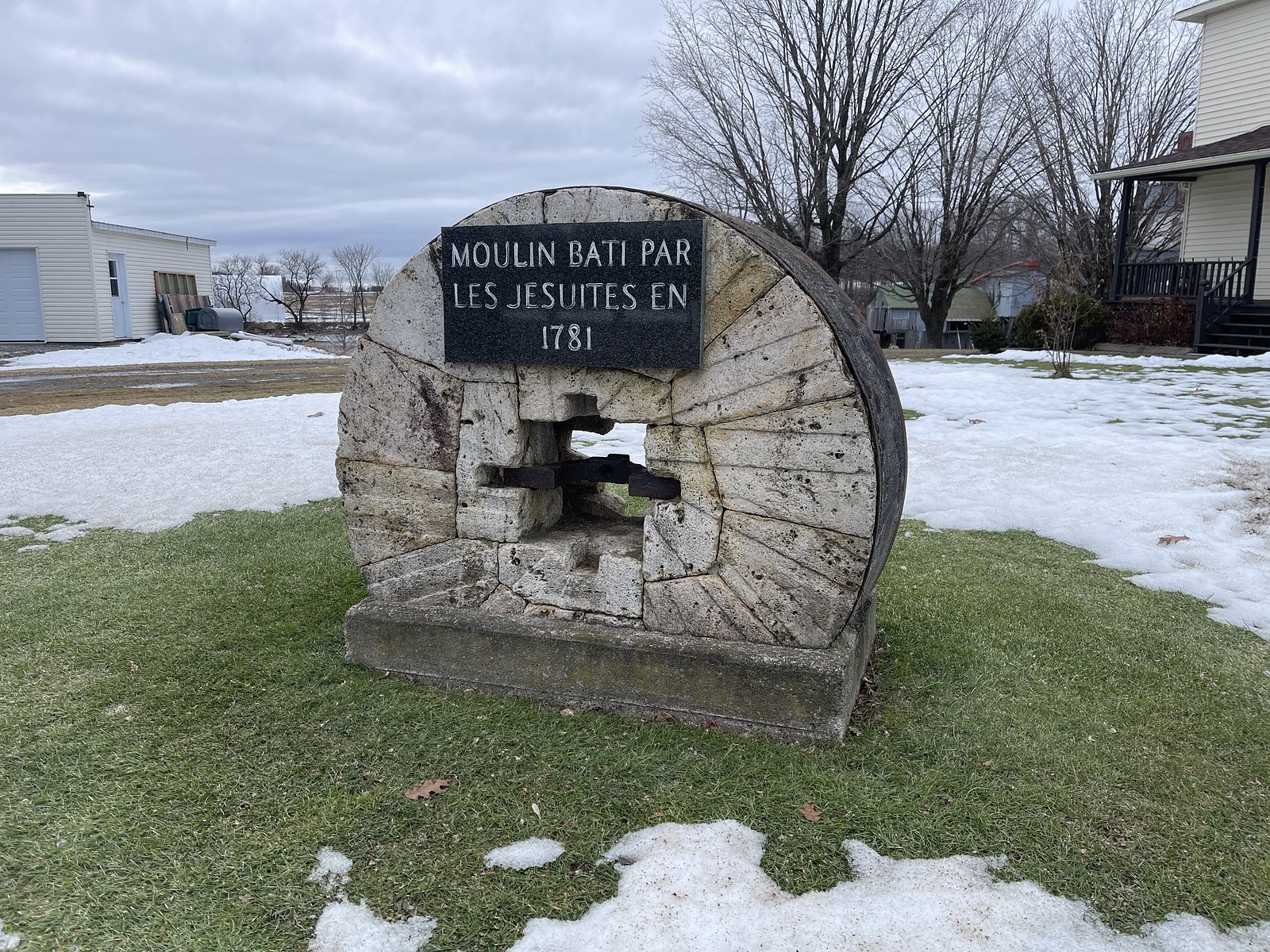
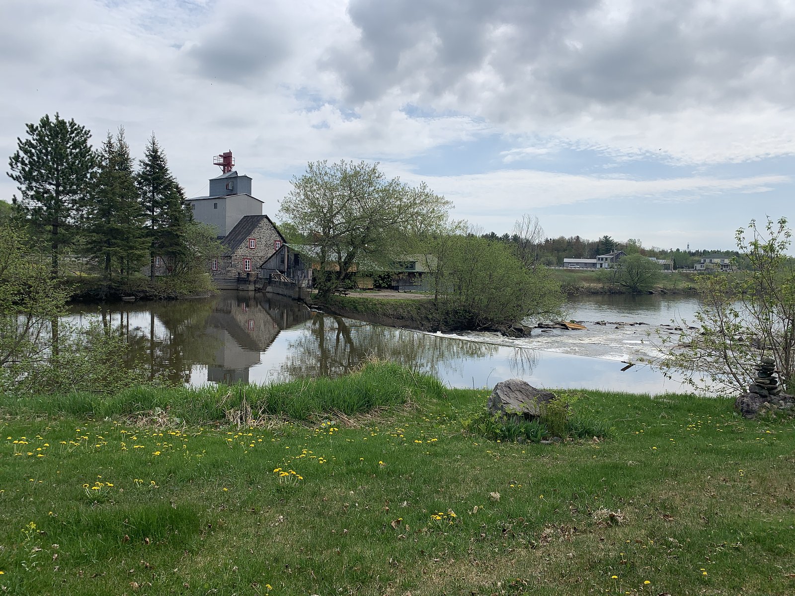
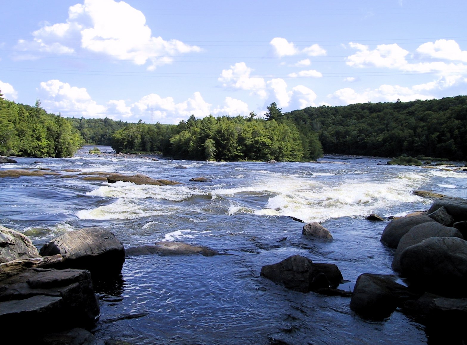
About Chutes Manitou
Chutes Manitou is a set of cascades located in the Mauricie region of Quebec, near Shawinigan-Sud. The falls sit in a forested, rocky landscape and are most notable for seasonal flow changes (high flow in spring runoff) and scenic viewpoints from nearby trails or roadside pullouts. Specifics about the exact drop, hydrology, and official name usage vary by local sources; description above is intended as a general overview and may be approximate.
Why This Waterfall Exists
Chutes Manitou flows over hard crystalline rock laid down over 1.0-1.6 billion years ago. These resistant rocks form a durable ledge that water cannot easily wear away, creating the falls where softer material downstream has already eroded.
Trail & Hike Details
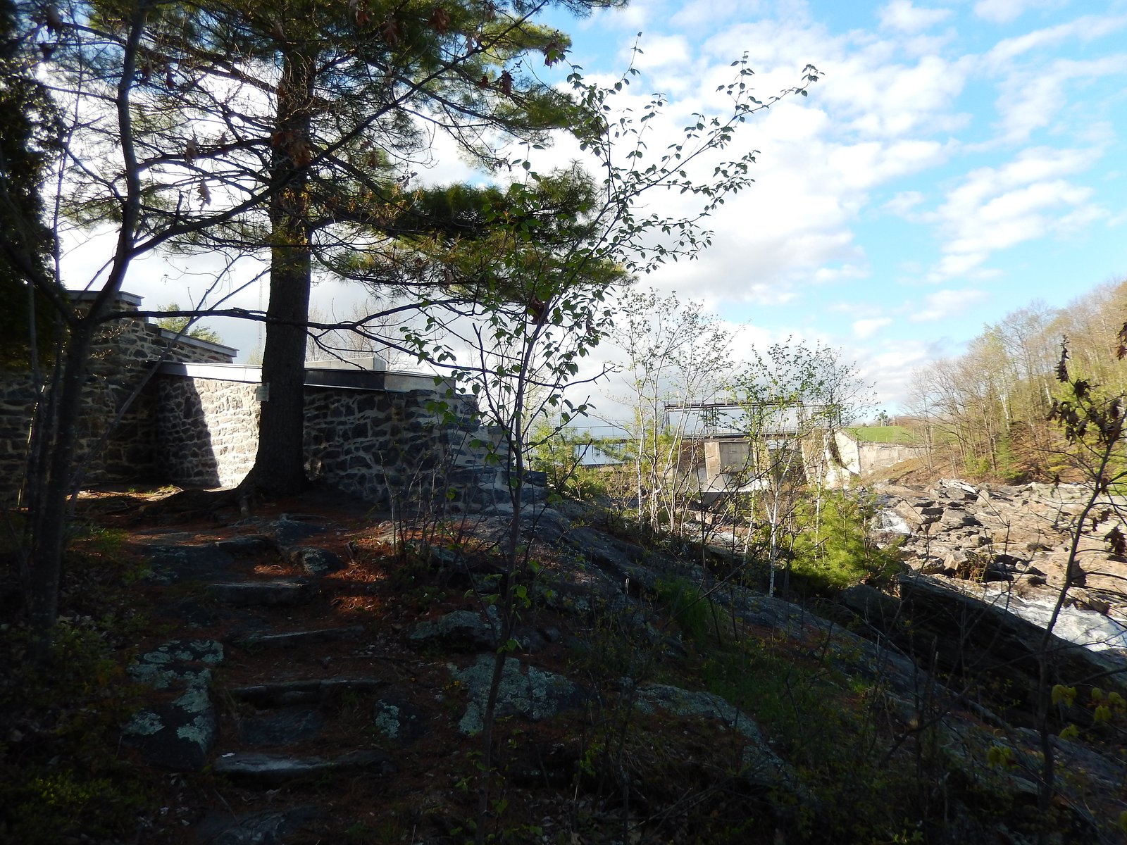
Trail Description
Access to viewpoints for Chutes Manitou is typically via a short walk through mixed forest and over uneven, sometimes rocky ground. Trails may include roots, rocks, and modest steps; expect unpaved surfaces and possibly wet, muddy sections in spring. There may be one or more vantage points above or beside the stream/river where the cascades are visible. Trails and viewpoints are likely informal rather than heavily developed.
What to Expect
Expect a forested setting with rocky stream channels. Waterflow peaks in spring (snowmelt) and after heavy rain; summer flow can be lower. Views may be from a short roadside walk or from a formal/informal trail. Trails can be slippery when wet or icy; there may be limited guardrails or official safety infrastructure. Cell service may be spotty in some rural sections.
Accessibility
Access is likely not wheelchair-accessible. Trails and viewpoints may be uneven, rocky, and include steps or steep sections. If accessibility is critical, contact local tourist offices or park managers for up-to-date information.
Frequently Asked Questions
🐶 Are Dogs Allowed at Chutes Manitou?
❌ Dogs are not allowed
Are There Any Fees or Permits Required?
🆖 No fees required
🏊 Is There Swimming at Chutes Manitou?
❌ Swimming is not allowed
When to Visit
Late spring (during and shortly after snowmelt) for highest flows and dramatic cascades. Fall offers attractive foliage colors. Summer is fine for hiking but flows may be reduced. Winter provides icy, photogenic scenes but is hazardous due to ice and cold.
Seasonal Access
The best time to visit is Spring, Summer, Fall, and Winter. Check with the managing park or local authority for current conditions.
Safety Information
Hazards may include slippery rocks, unstable edges, fast currents, sudden water level changes, cold water temperatures, and limited cell service. Do not climb on wet rocks near the falls. Supervise children closely. In winter, ice near falls can be brittle, avoid walking on frozen waterways. Check recent trip reports or local authorities for temporary closures, trail washouts, or logging activity before visiting.
7-Day Flow Outlook
Based on the WSC gauge BATISCAN (RIVIERE) A 3,4 KM EN AVAL DE LA RIVIERE DES ENVIES (12 km away).
Best time of year: this gauge typically runs highest from early April to mid June, peaking in April.
How we calculate this
This is a transparent outlook, not a precise forecast. We take the waterfall's current flow strength (how it ranks against its historical normal for today, from the nearest WSC stream gauge), carry that ranking forward along the gauge's seasonal curve, and nudge it for forecast rain. Confidence is highest for the next day or two and falls further out. Always check official conditions and your own judgment before visiting — high flows can be dangerous.
Know when to go.
Get a free email alert when waterfalls near Shawinigan-Sud hit peak flow. We only send when conditions are worth the trip — no weekly newsletters, no spam.
Weather Forecast
Location & Access
Getting There
Chutes Manitou is located in the Shawinigan area of Mauricie (coordinates ~46.6901, -72.398). From Shawinigan-Sud or Trois-Rivières, follow regional roads toward the local forested areas outside town; the falls are reached via secondary roads and a short trail or viewpoint. Exact approach routes and parking locations may vary, consult local signage, a regional map, or a trail listing (AllTrails / provincial park pages) before traveling.
Get Directions on Google MapsParking
There is likely a small trailhead parking area or roadside pullout near the access trail. Parking may be limited and not paved; park legally and avoid blocking gates or private driveways. Expect an informal lot or roadside parking rather than a large official lot.
Elevation
105 metres above sea level
Coordinates
46.690108° N, -72.398047° W
Visitor Tips & Gear
• Wear sturdy, grippy footwear, rocks and roots can be slippery. • Bring insect repellent in summer and warm layers in spring/fall. • Park only in designated areas and respect private property. • If visiting in winter or freeze–thaw seasons, use caution on ice and avoid walking on frozen water. • Leave no trace: carry out all trash and avoid disturbing vegetation. • Check local trail reports or municipal/park pages for up-to-date access information before you go.
Where to Stay
Browse vacation cabins and private rentals nearby
Unique outdoor stays — tents, yurts, and treehouses
Rent a campervan or RV for your waterfall road trip
Some links are affiliate links. We may earn a commission at no extra cost to you.
Nearby Campground
Camping de la Rivière
11.9 km away
Additional Information
Nearby Attractions
Shawinigan and Shawinigan-Sud (local restaurants and services), Parc national de la Mauricie (outdoor recreation and hiking), Saint-Maurice River viewpoints, Trois-Rivières (historic downtown and museums). Distances to towns: Shawinigan-Sud ~23 miles, Trois-Rivières ~23 miles, Victoriaville ~49 miles (approximate).
Wildlife
Typical Mauricie-region wildlife, white-tailed deer, small mammals (squirrels, hares), various songbirds, and occasional waterfowl. Be aware of ticks in warmer months and use precautions. Larger predators are uncommon near populated areas but may exist in remote forest zones.
Cities near Chutes Manitou
Nearby Waterfalls
Writing about Chutes Manitou? Embed this waterfall on your site for free.